Flat Fork
Total Miles
1.5
Technical Rating
Best Time
Spring, Summer, Fall, Winter
Trail Type
Full-Width Road
Accessible By
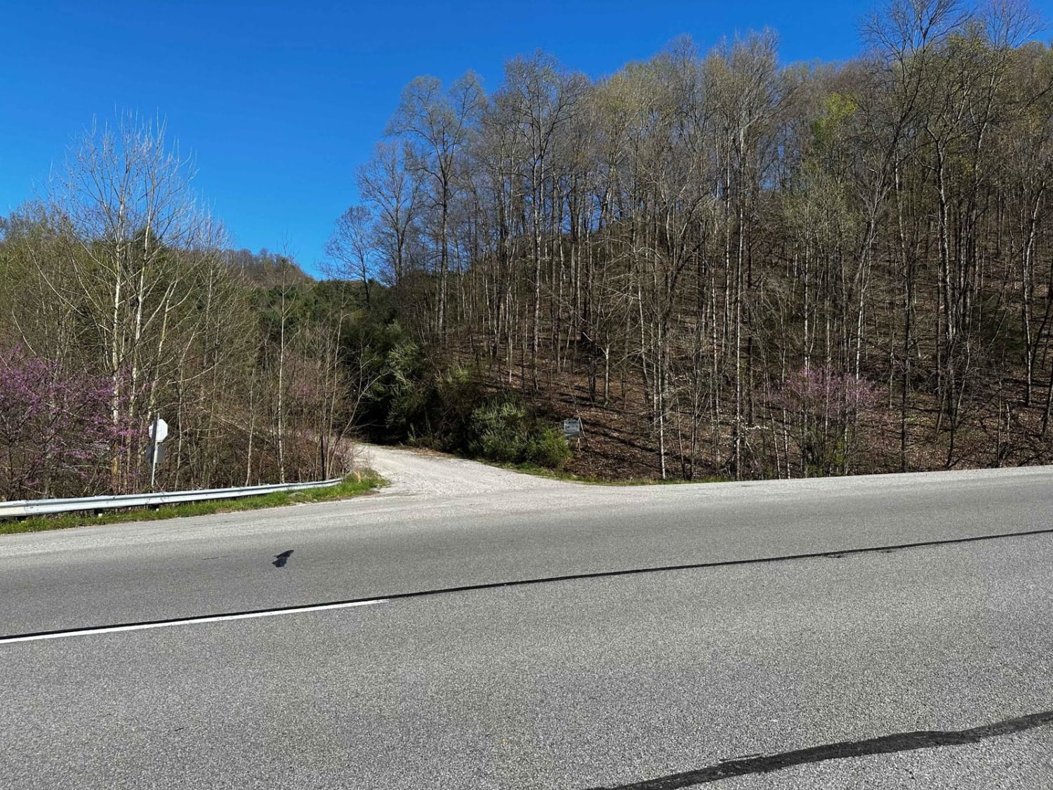
Trail Overview
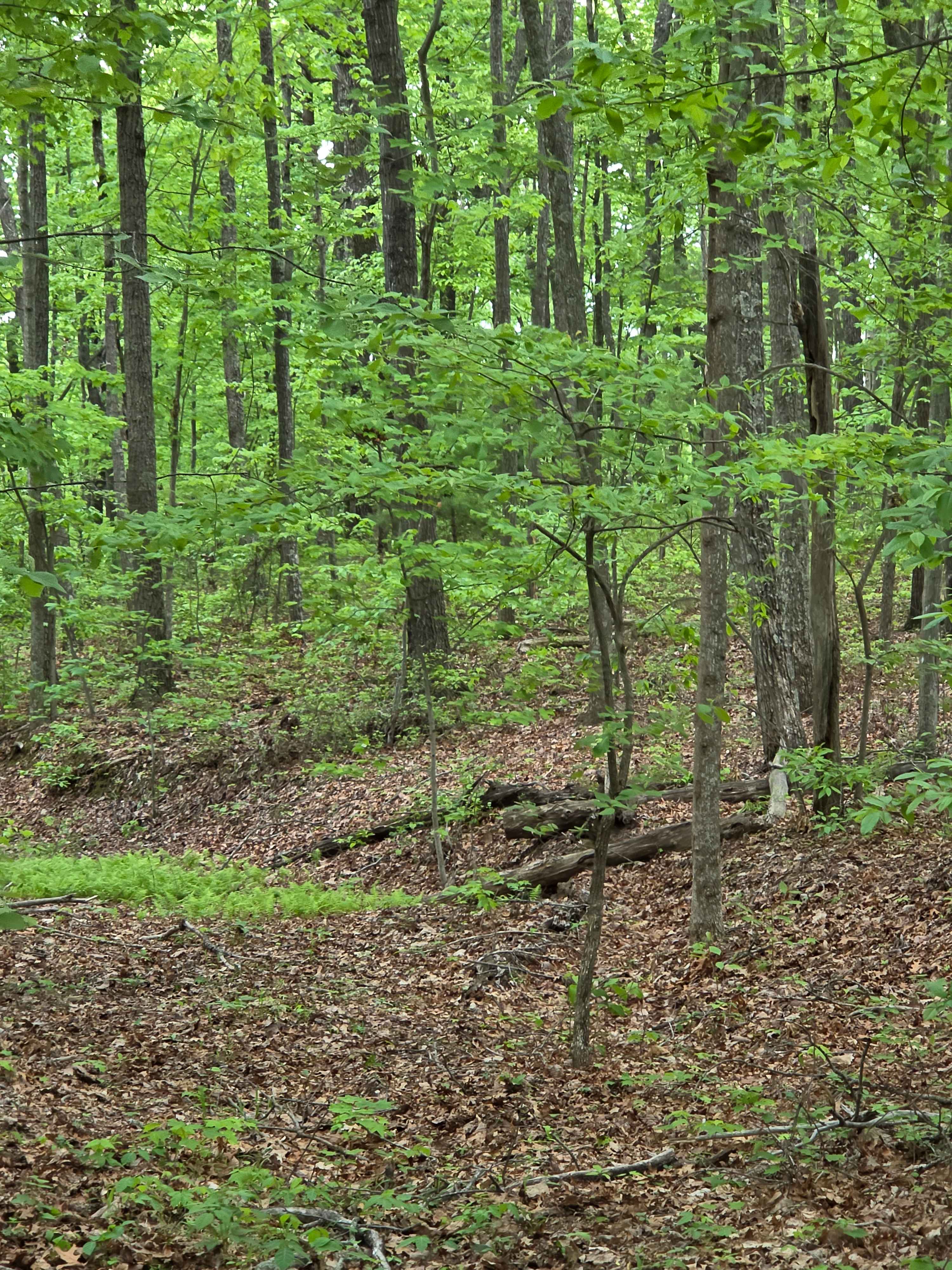
This is the alternate entrance to Hillbilly Trails of Pike County. It's a gravel road that leads to Trail 23 of Hillbilly Trails. Once you get to the top there are a lot of trails that is developed and many more to develop. There's plenty of primitive camping available with nearly 6,000 acres in the park.
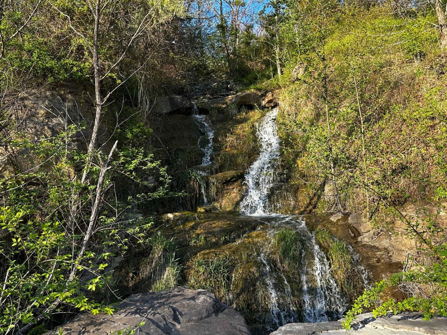
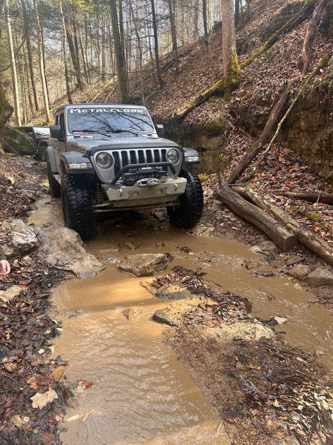
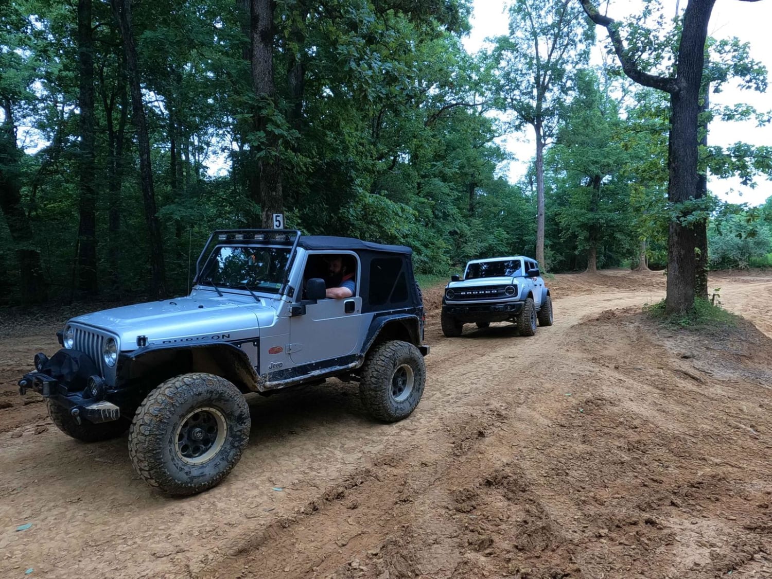
Photos of Flat Fork
Difficulty
It is a gravel road with an incline 1.3 miles.
Status Reports
Flat Fork can be accessed by the following ride types:
- High-Clearance 4x4
- SUV
- SxS (60")
- ATV (50")
- Dirt Bike
Flat Fork Map
Popular Trails
Little Widow Maker

Newby Cemetery Road - FS 130
6 to 5 Road
Big Bend Road
The onX Offroad Difference
onX Offroad combines trail photos, descriptions, difficulty ratings, width restrictions, seasonality, and more in a user-friendly interface. Available on all devices, with offline access and full compatibility with CarPlay and Android Auto. Discover what you’re missing today!