6 to 5 Road
Total Miles
0.6
Technical Rating
Best Time
Spring, Summer, Fall, Winter
Trail Type
Full-Width Road
Accessible By
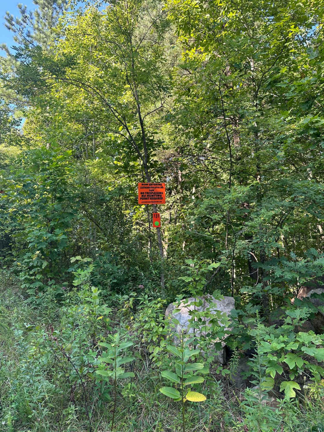
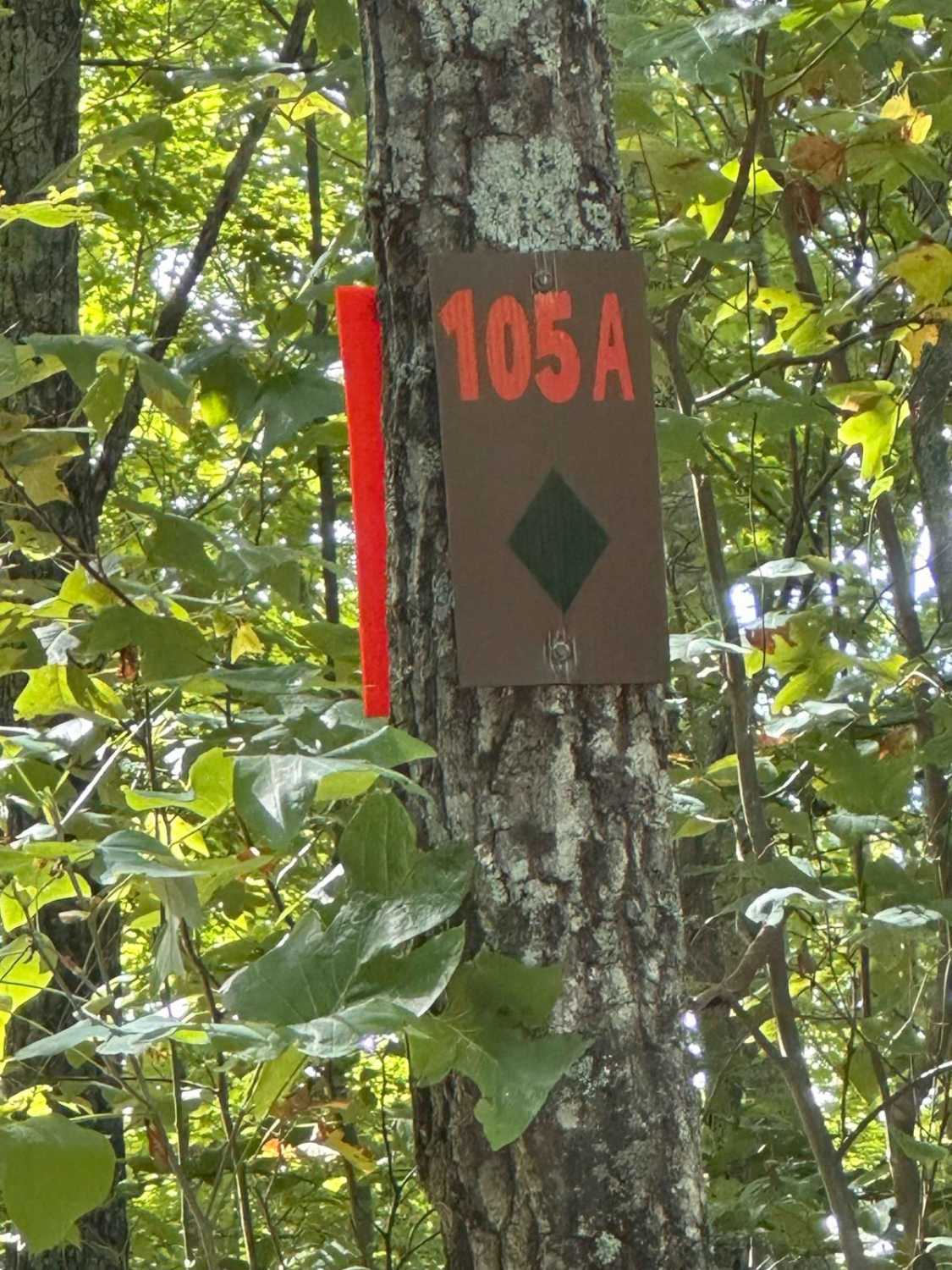
Trail Overview
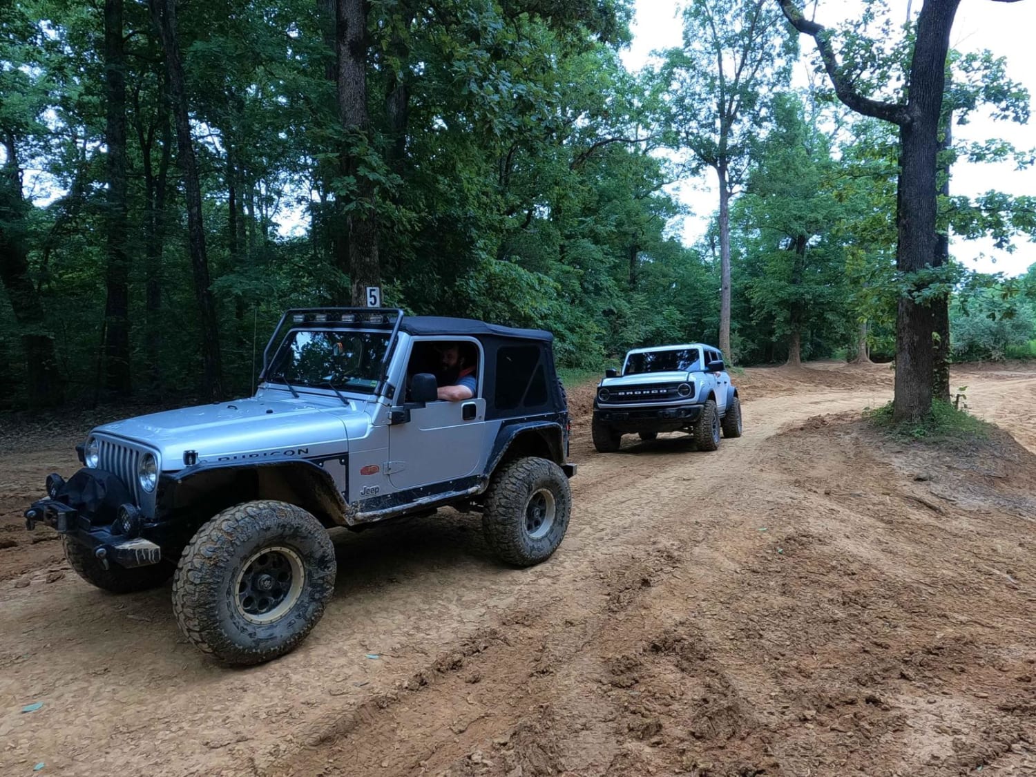
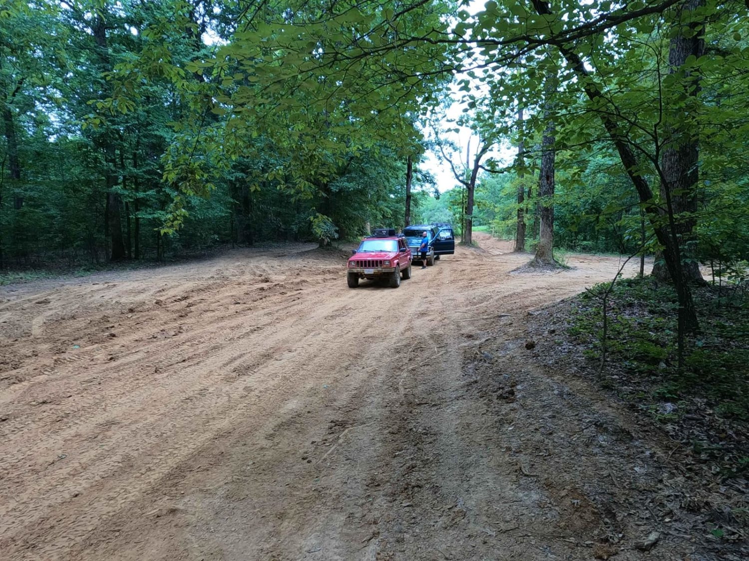
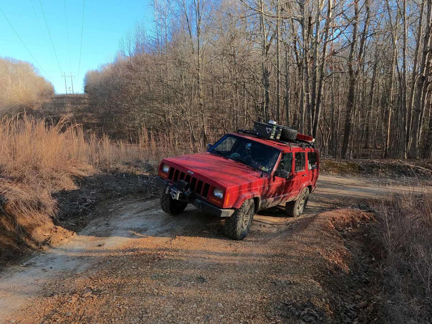
The 6 to 5 Road is a semi-maintained, gravel and dirt primary road with natural tendencies, connecting point to point from the 6 intersection and going uphill to the 5 intersection in Turkey Bay OHV, within the Land Between the Lakes National Recreation Area. Its official ID is forestry M01. The road features a mostly dirt road climbing from the coarse creek gravel bottoms to mild graded hills with mild ruts, with scattered out smaller golf ball to softball-sized rocks, occasional water collection spots, and some thick mud. The eastern area surrounding the 6 intersection and road features a creek bottom feel, but quickly climbs into the small hills rising above surrounding said bottoms. In the middle section are mild rolling hills featuring mild ruts on dirt roads with tightening treelines and potential small water collection spots along the way. On the western end of the road, you will meet the 5 to C Shortcut, which creates a faster path to the Rock Garden / C intersection when coming from the 5 intersection. On the far western end of this road, just east of the 5 intersection signs, is one of the sloppiest mud sections in the park, featuring a clay gumbo of hybrid mud. This can still be sticky and wet far after the roads have dried out. At the 5 intersection, you will find the largest, most spread out, intersection of trails converging in the park. Take the time to find, read, and then follow the signs.
Photos of 6 to 5 Road
Difficulty
The 6 to 5 Road is generally maintained, but still possesses a bit of edge to it especially if you're aiming for thrill. The eastern section is rocky and has loose creek-bottom gravel that can be soupy and has the potential to become a flash flood hazard in a storm. The middle section features primarily dirt roads that when dry are simple-just a matter of flowing through the dips and dives of ruts, hills, and treelines, but when wet, could become a gnarly wet mess of thin top layer mud, mixed with potential water collection holes. Then on the far western end at the 5 intersection, there is significant mud to optionally run. It is a thick and deep southern clay gumbo of hybrid mud. This mud section also rests on a hillside that easily can steer a vehicle deeper into its grasp. It's not easy mud to navigate or run into. If dry, the trail leans toward a 2/10 difficulty, but with all the optional stuff along its path, it could be a 4/10 easily, especially in a wet season or conditions. In other words, the difficulty increases when wet. It's been given a base rating of 3/10, for an average of all the terrain and conditions considered.
Status Reports
6 to 5 Road can be accessed by the following ride types:
- High-Clearance 4x4
- SUV
- SxS (60")
- ATV (50")
- Dirt Bike
6 to 5 Road Map
Popular Trails

Roger's Road - FS 113
Powerline Road - FS 302
The onX Offroad Difference
onX Offroad combines trail photos, descriptions, difficulty ratings, width restrictions, seasonality, and more in a user-friendly interface. Available on all devices, with offline access and full compatibility with CarPlay and Android Auto. Discover what you’re missing today!