Ferguson Spring - FS 147
Total Miles
1.5
Technical Rating
Best Time
Spring, Summer, Winter, Fall
Trail Type
Full-Width Road
Accessible By
Trail Overview
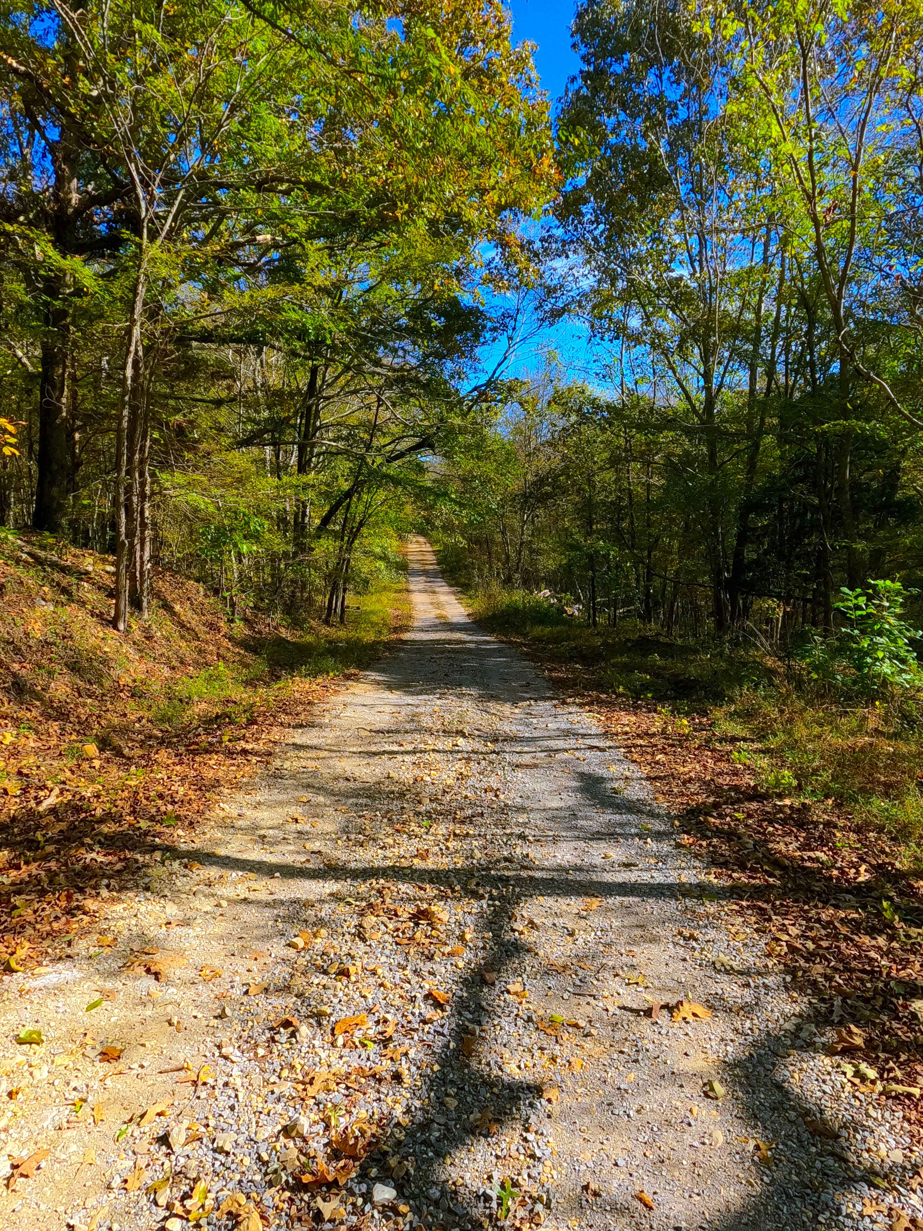
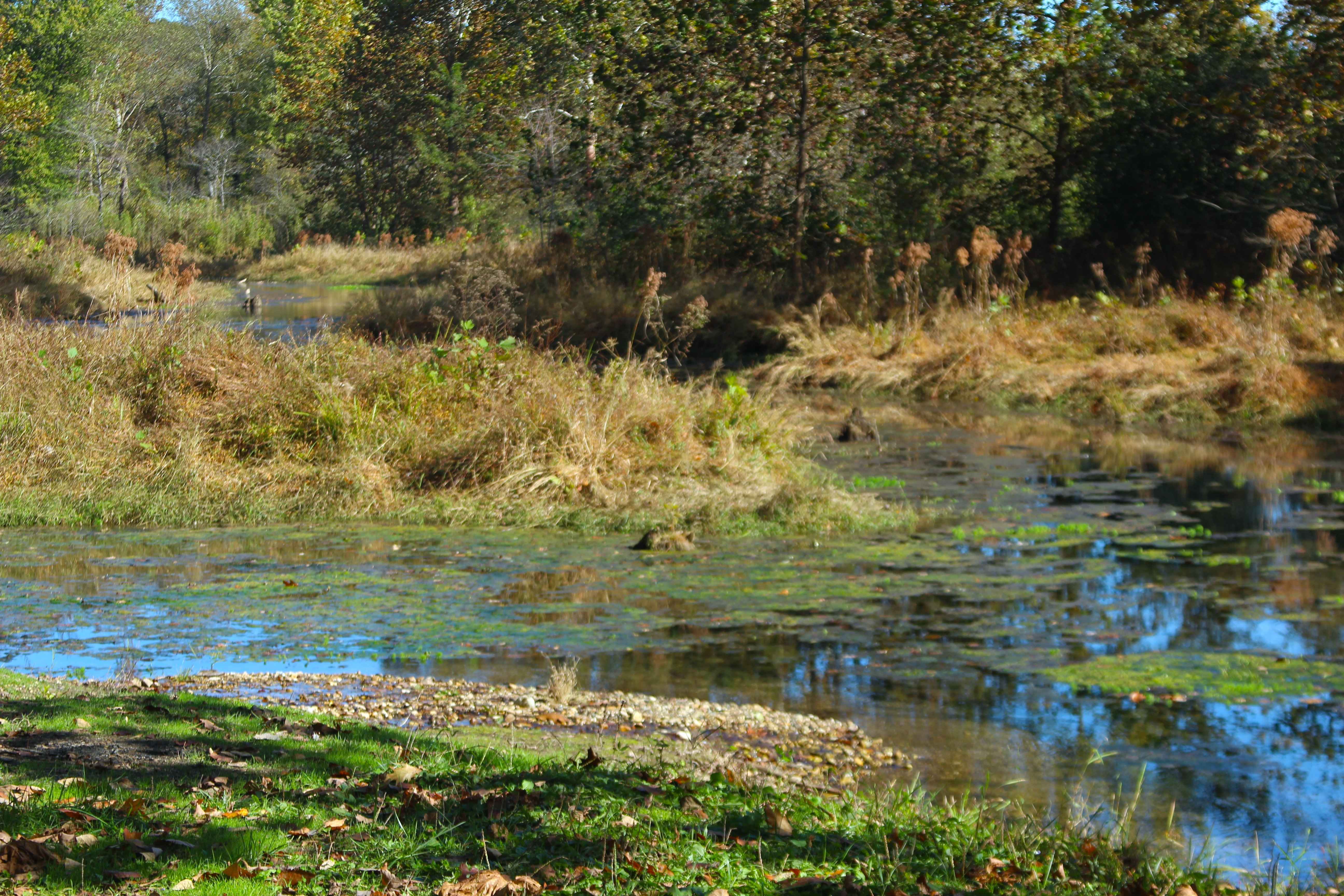
Ferguson Spring Road (FS 147) is a maintained gravel Forest Service road through the central Kentucky inland section of the Land Between the Lakes National Recreation Area. This route branches off the Ironton II Road coming northeast along the Crooked Creek valley, driving along the bottoms of the northern ridge, encountering mild graded hills, with luscious, swamp-like wetlands and agricultural fields to the south of the track, glimpsing into the former community that thrived here. The road ultimately passes the Oakley Cemetery, found just north on a hilltop mid-track, before approaching the old village settlement where the church and school used to be, along with the former county road connection to what is now FS 146. Then it reaches its northern end, hosting the two landmarks the road shares names with, Ferguson Spring and the Ferguson Spring Cemetery. At the spring, there is no shortage of tranquil and peaceful vibes overlooking the spring, trailing ponds, and watercress easily seen from the roadside.
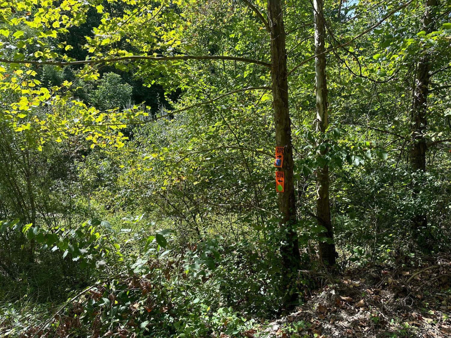
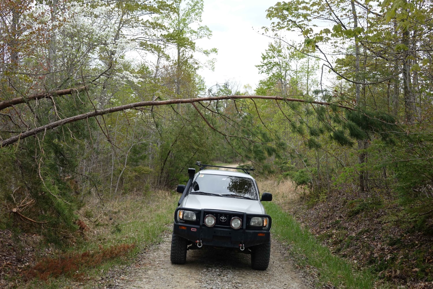
Photos of Ferguson Spring - FS 147
Difficulty
Ferguson Spring is a simple gravel road. Being generally maintained, it is given a base rating of 1/10, consisting of a gravel road being laid out on mild graded hills, with the expected washboards, potholes, mounding of the gravel, and potential spots where the gravel fades to dirt in between gradings. Difficulty would only increase in seasons of extreme inclement weather, lack of maintenance, and heavy use, but would likely always be mended back to a 1/10 rated state. The road has been known to flash flood with water completely covering the road. In this situation, it is best to consider the road closed, as the road has several drops along the sides that pose great hazards if not able to be seen when underwater.
History
Ferguson Spring, Kentucky, in its prime, was a farming community based around the fresh spring water, with a church, school, and pair of cemeteries. Based on old Fenton, Kentucky, topo maps, the Ferguson Spring church used to reside around 36.85055, -88.03922, with the school being around 36.85158, -88.03761. As many locals and lovers of Ferguson Spring would claim, there is something special about this place; one of those people is Rodney M. The 57 year old claims he was born and raised on the shores of the Kentucky Lake Dam, reflecting that he favored and frequented the spring as a child, telling of times his mother would drop him off in the area, to which he would go and hunt or fish that nights meal, to which his mother would pick him up after work to go home. One time Rodney found a shunk kit on a hunting day, decided to take it home as a pet. It was just purring along, that is, until they hit the speed bumps at the north visitor center. After that, his mother didn't drive that car for the rest of that year. Later on in adulthood, Rodney decided it was a good day to fish and hunt the Ferguson Spring area despite the heavy rains the day before, reflecting that when he got there, the bottoms were flooded pretty good. Then a Caddy showed up, the person asked, "Do you know where Ferguson Spring Cemetery is?" Rodney answered "I sure do, but your Cadillac isn't going to make it there", the older lady then replied "well I am a Ferguson and wanted to see my families resting spots again", Rodney then nervously offered her a ride in his Bronco, not positive even he could make it, but with his knowledge of the bottoms, they made it to the Cemetery and Mrs Ferguson got to see her loved ones resting spots. Mrs Ferguson also told Rodney she had lived there as a little girl, her father having laid stepping stones around the spring for her to use to get water. Rodney then asked, "How did you feel about being removed by the TVA?" Mrs Ferguson responded with teary eyes, "I never had to go hungry or sleep in the cold again from that point in my life. Had I never left, I wouldn't have met my husband." This route is home to two cemeteries, the Oakley Cemetery (mid-track on a hilltop) and the Ferguson Spring Cemetery (at the north endpoint). As of October 2025, these cemeteries honor over 115 lives lived from 1816 to 2017. Please show respect to those who came before us, leaving the cemeteries as or better than you found them. With help from Rodney M, this was documented by Christopher Menz, 10/2025.
Status Reports
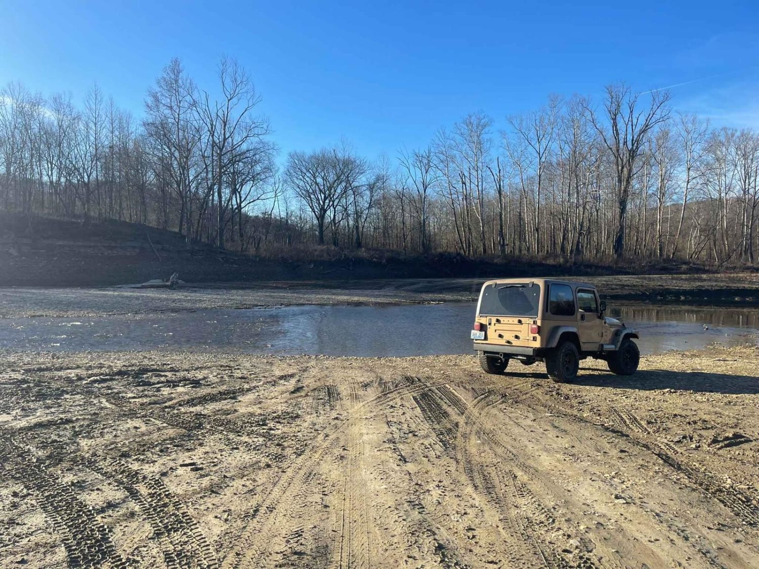
Ferguson Spring - FS 147 can be accessed by the following ride types:
- High-Clearance 4x4
- SUV
Ferguson Spring - FS 147 Map
Popular Trails
Oil Center WMA Main Via Ringgold Road
The onX Offroad Difference
onX Offroad combines trail photos, descriptions, difficulty ratings, width restrictions, seasonality, and more in a user-friendly interface. Available on all devices, with offline access and full compatibility with CarPlay and Android Auto. Discover what you’re missing today!