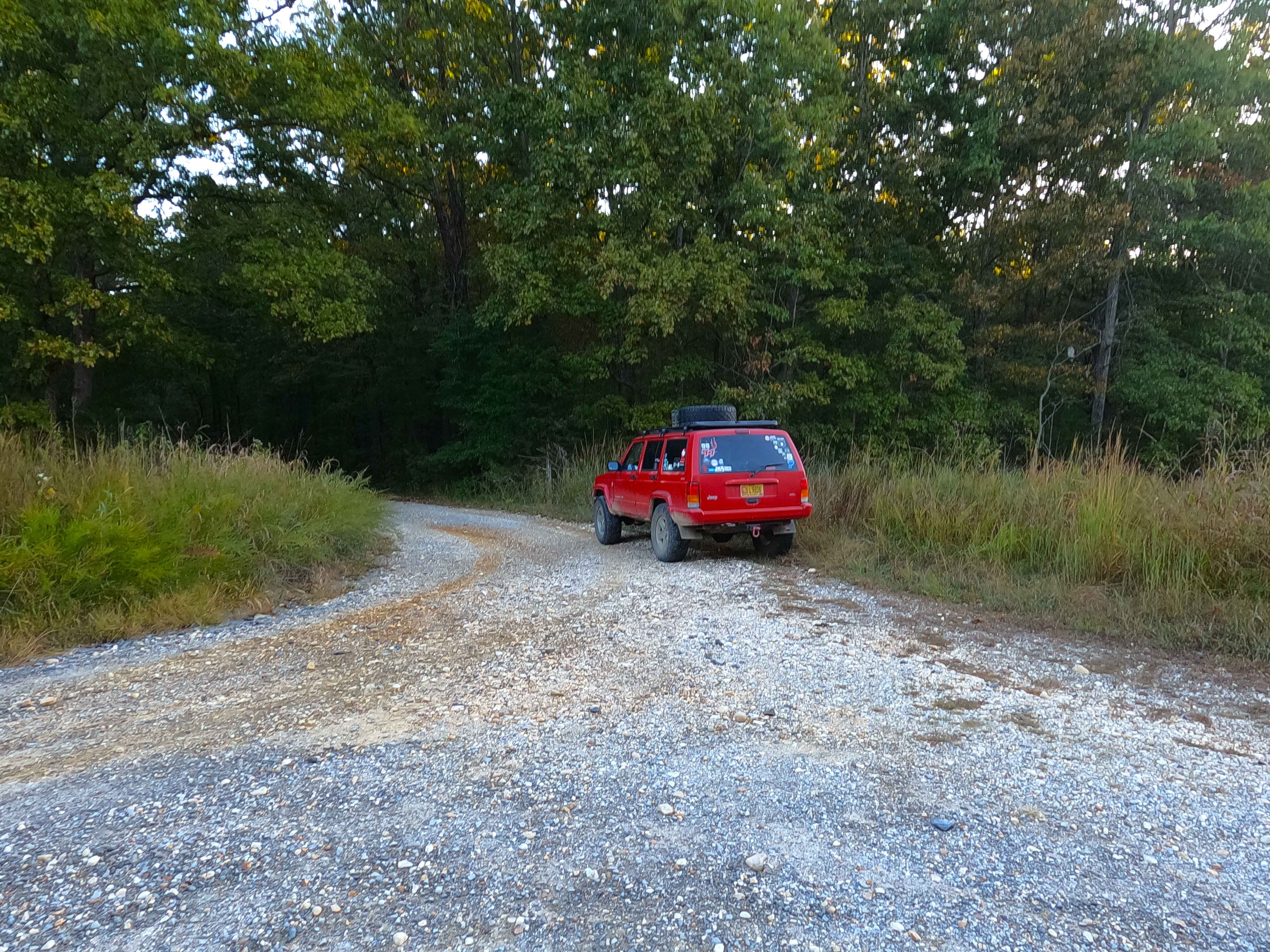
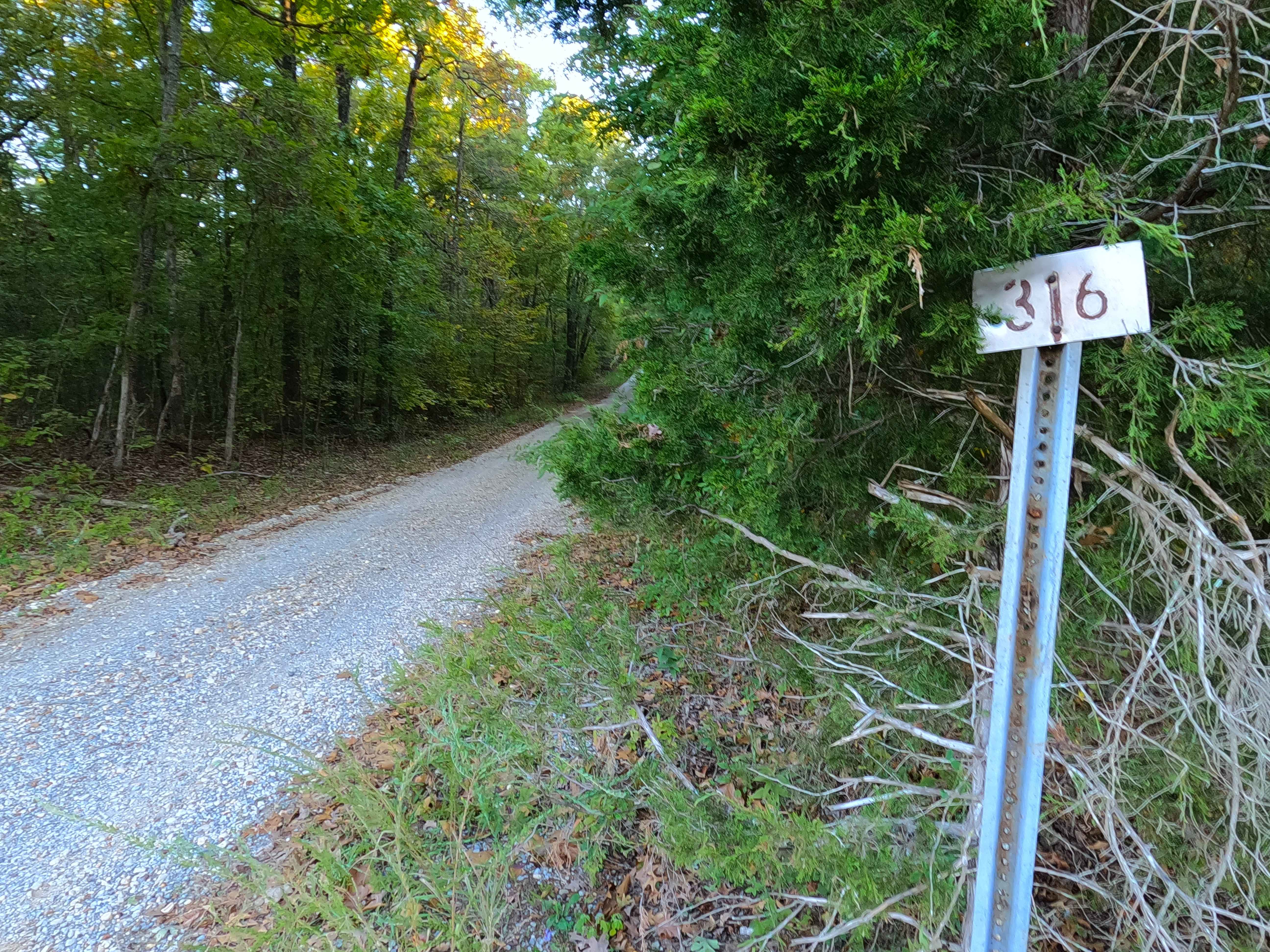
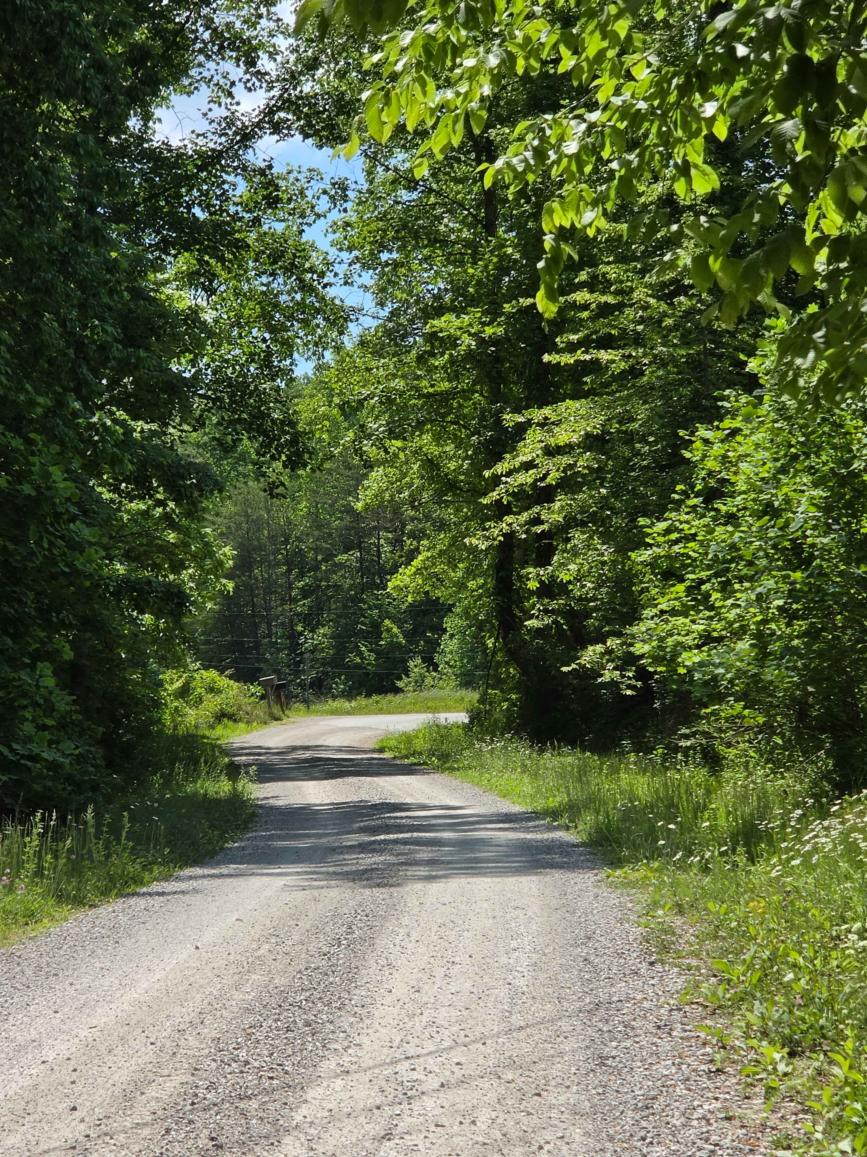
County Line Road - FS 316
Total Miles
0.7
Technical Rating
Best Time
Spring, Summer, Fall, Winter
Trail Type
Full-Width Road
Accessible By
Trail Overview
County Line Road (FS 316) is a gravel forest service road through the center-west Kentucky section, Kentucky Lake side, of the Land Between the Lakes National Recreation Area. The 316 comes off the Woodland Trace (FS 100) heading southwest to connect with the Pinnegar Cemetery Road (FS 139), acting as an alternative entry when coming from the north. The road is mild, having only a few bends, mild elevation changes, and encountering small water collection spots. As the name suggests, at the northern endpoint where the road intersects with the Woodland Trace, modern Trigg and Lyon County signage and an old marble survey marker can be seen on the east side of the Trace, showing the separation point of the two Kentucky Counties present in LBL. The road has significant historical and geographical ties. Before the Trace was built, this section of road was a part of the former main road in the area, aka the Silver Trail, and also rides on the Tennessee Valley Divide, so names for this road are not in short supply.
Photos of County Line Road - FS 316
Difficulty
County Line Road is given a base rating of 1/10 for being a simple gravel road, generally well-maintained, consisting of mild grades up and down the rolling hills of the area. Expect washboards, potholes, mounding of the gravel, spots where the gravel fades to dirt, and mild signs of erosion on the hills. There are potentially small water splashes less than 6 inches deep. The road may experience increased difficulty in times of heavy use, wet conditions, and inclement weather.
History
The County Line Road, which used to be part of the former Silver Trail, has some history dating back to the days of the pig-iron furnaces being the main industry in the land between the rivers era (pre-1966, or the TVA buyout and flooding of the two lakes). To the east, there is a former settlement town called Hematite, Kentucky, where from 1852 to 1912 a Pig Iron Furnace operated. It is now known as the Center Furnace. The Silver Trail name comes from it being the main road of transport for the paymaster who gave the employees of the Center Furnace their pay. Granted, this pay was mostly in the form of scrip to be used in the smelting company-owned general store, therefore keeping the money within its network, which in today's world is an illegal practice. --- Referring to old topos of Mont, Kentucky, in the 1930s to 1960s, shows that the County Line Road was a part of the old main north and south road the old KY-453, (which followed large portions of the silver trail), before the creation of the new KY-453, eventually to be named The Woodland Trace. By the 1967 editions of the Mont and Fenton, Kentucky, the new KY-453 or the Woodland Trace (portion north of US-68) had cut sections of small roads out of the old KY-453 and Silver Trail tracks to the east and west of the new KY-453, these sections later became (part of or complete) FS roads, such as 129, 131, 133, 135, 139, 141, 142, 144, 310, 316, 320, 335, and 336, with other sections in between these roads being abandoned and unsanctioned in the modern MVUM. --- In OnX Offroad History, the early days of the OnX Offroad service, large routes were more so common, as to cover more ground and gave a broader idea of what a larger geographical region looked like. Within LBL this included "Geezers Part 1" which included (from north to south) the FS roads 316, 139, 318, 140, and 141, forming an 11-mile route looping with the Woodland Trace FS 100. Geezers was broken down in late 2025 to give a more accurate and detailed look at each of these roads individually, except FS 140, which is paved. Documented By Christopher Menz 12/2025
Status Reports
County Line Road - FS 316 can be accessed by the following ride types:
- High-Clearance 4x4
- SUV
County Line Road - FS 316 Map
Popular Trails


Pinnegar Cemetery - FS 139
Cool Springs Road
The onX Offroad Difference
onX Offroad combines trail photos, descriptions, difficulty ratings, width restrictions, seasonality, and more in a user-friendly interface. Available on all devices, with offline access and full compatibility with CarPlay and Android Auto. Discover what you’re missing today!