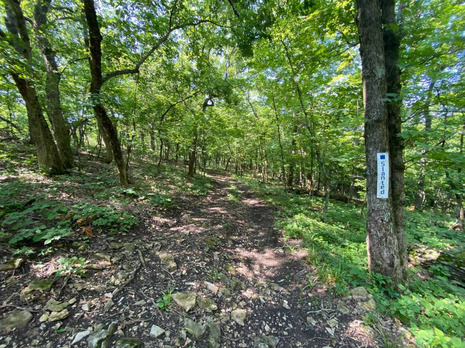
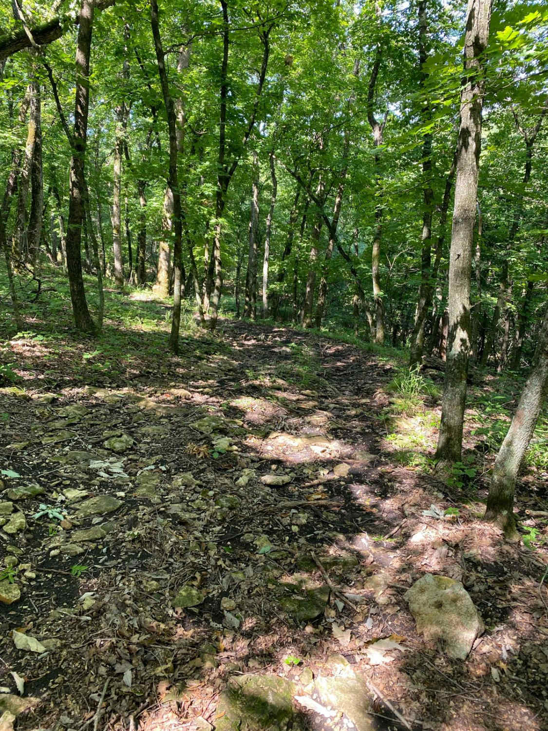
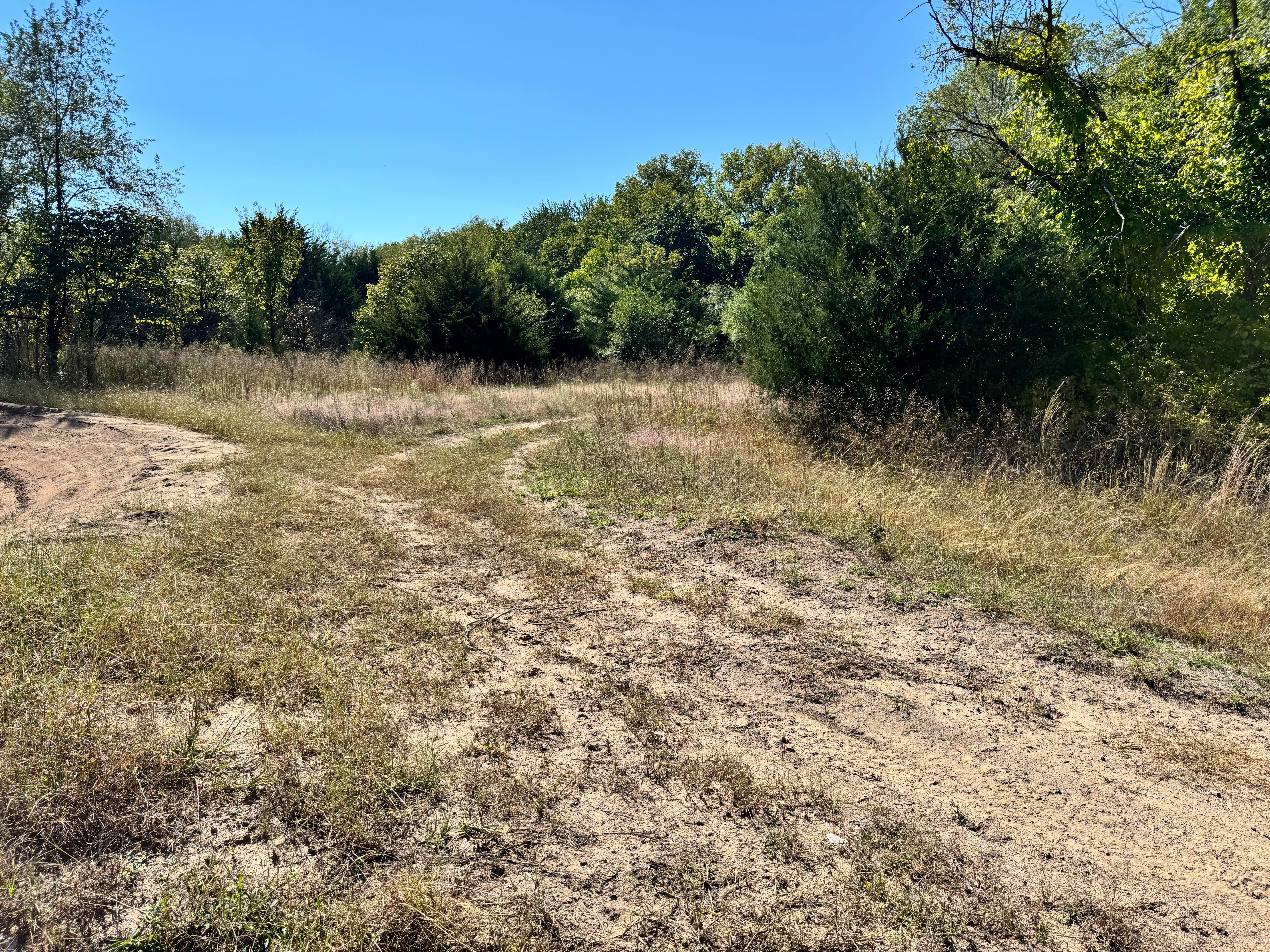
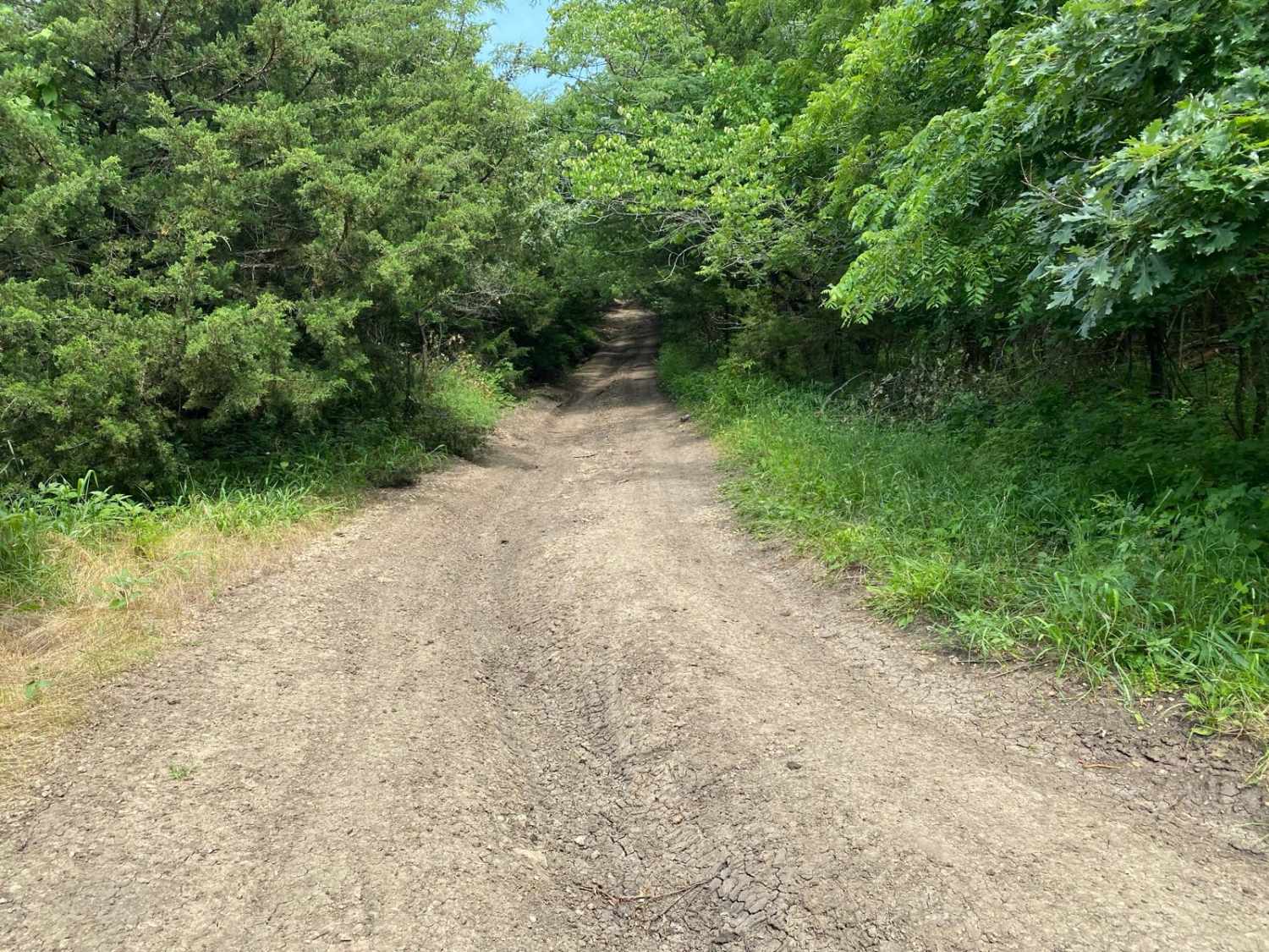
Slanted
Total Miles
0.2
Technical Rating
Best Time
Spring, Summer, Fall, Winter
Trail Type
Full-Width Road
Accessible By
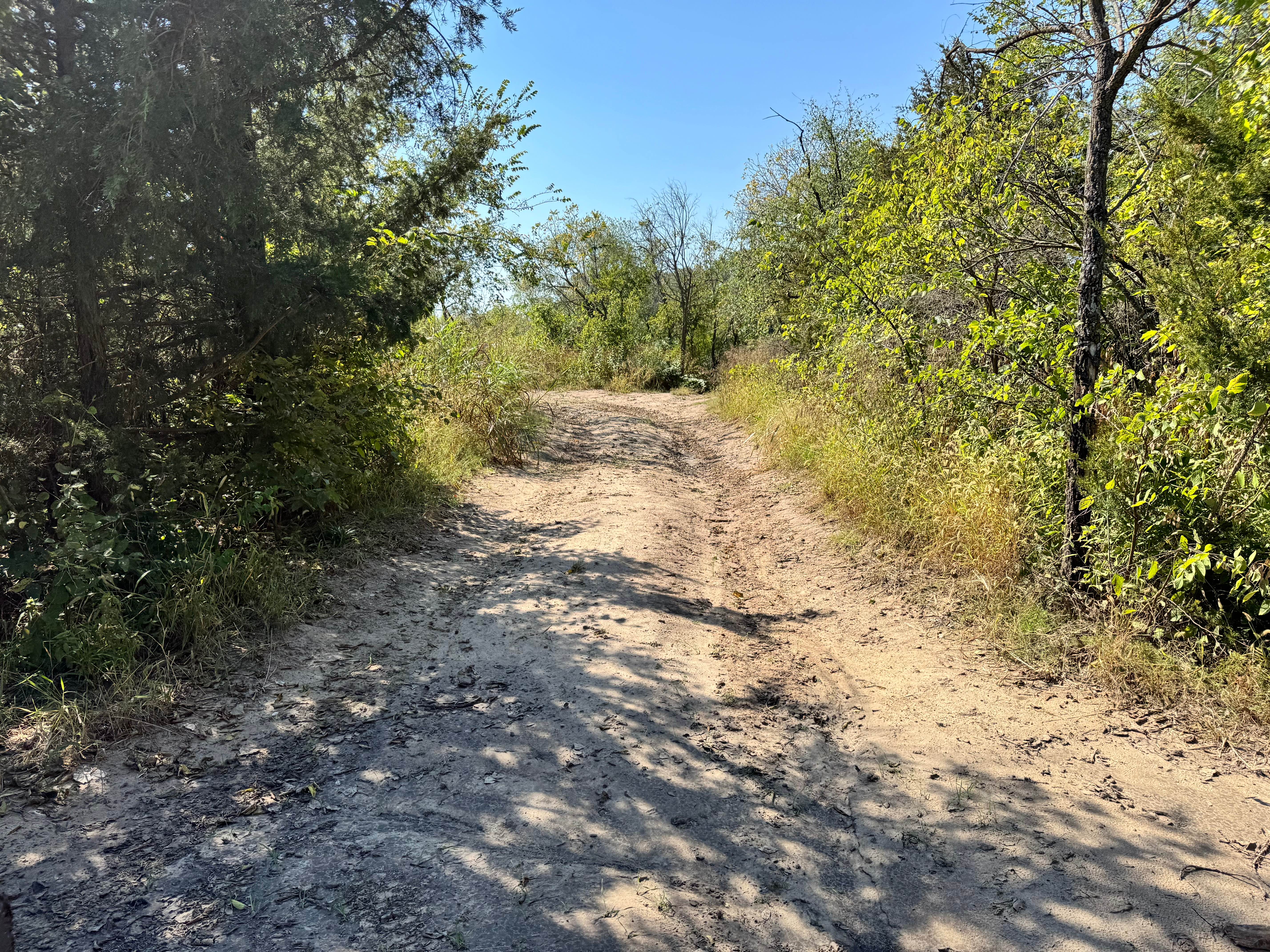
Trail Overview
Slanted is located between the Rocky Ridge Area and the Timber Hill Area of the park. This trail is connected to Dustys Drop at one end and WoodCutter at the other end. This trail crosses over several other trails that run from West Bottoms to Jeremys Jaunt and for some of this trail it could be used as a bailout if need be.
Photos of Slanted
Difficulty
As the name implies you are going to be slanted or off-camber through the entire trail. There are no obstacles on this trail but there is a section with a handful of smaller trees the navigate between. These smaller trees could be problematic for vehicles with wide track widths or longer wheelbases.
Status Reports
Slanted can be accessed by the following ride types:
- High-Clearance 4x4
- SUV
- SxS (60")
Slanted Map
Popular Trails
Bent Wrench Way

Path Finder
Takanoah's Hill
Glow Plug Gulch
The onX Offroad Difference
onX Offroad combines trail photos, descriptions, difficulty ratings, width restrictions, seasonality, and more in a user-friendly interface. Available on all devices, with offline access and full compatibility with CarPlay and Android Auto. Discover what you’re missing today!