
Off-Road Trails in Kansas
Discover off-road trails in Kansas
Off-Road Trails in Kansas
Discover the best off-road trails in Kansas. Browse trail maps, check difficulty ratings, and find your next adventure — whether you're looking for a quick ride or an all-day expedition.
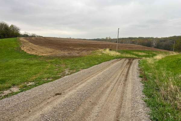
Riverbreaks
Riverbreaks is a gravel road that climbs from the Missouri River bottoms turning onto Quebec Road. It is well-maintained gravel but can become soft and muddy after heavy rains. 4WD is recommended when visiting this area during bad weather or snow in order to climb out of the bluffs. There are many d...
Learn more about Riverbreaks
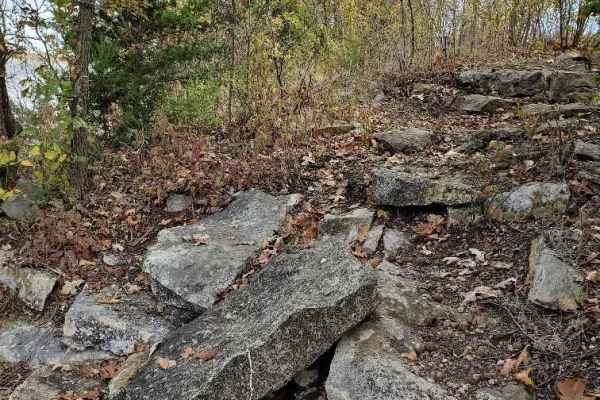
Winfield Lake Track
Winfield Lake Track is an out and back run that provides good views of the lake and surrounding area. This is a municipal lake and there is a day-use fee of $5.00. There is plenty of both primitive camping and full hook-up for campers. The back part of this track is not suitable for large campers as...
Learn more about Winfield Lake Track
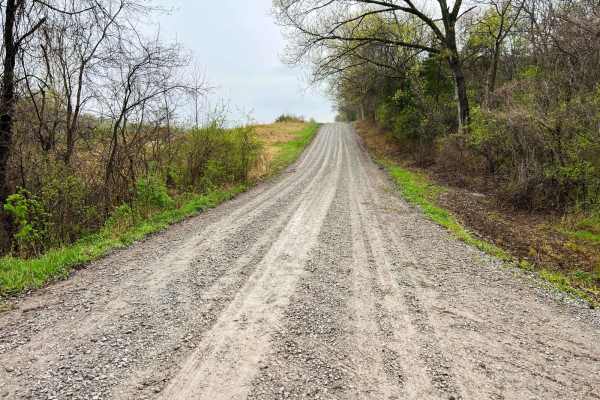
Monkey Mountain
Monkey Mountain follows along the edge of Honey Creek Conservation area before crossing the Nodaway River. Crossing into Holt County Holt 325 road climbs quickly along the Monkey Mountain Conservation area ending at MO U. This is an easy-going gravel road that can become soft and loose after heavy r...
Learn more about Monkey Mountain

Brown State Fishing Lake Road
Easy gravel road around Brown State Fishing Lake with small spurs around the lake to camp and fish. Camping and fishing are free. A couple of pit toilets around the lake and campfire rings at campsites. The lake is surrounded by cornfields. The grade is gentle and can be driven in a 2-wheel drive ve...
Learn more about Brown State Fishing Lake Road
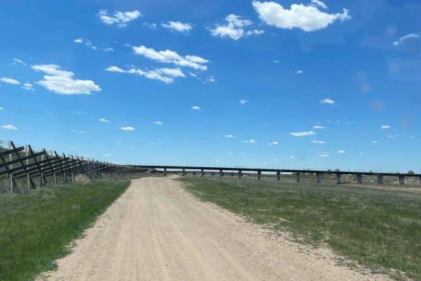
Coronado to Dodge City
This scenic river bottom route offers an engaging sand-driving experience for offroaders, SxS drivers, and dirt bike riders looking to explore the historic Arkansas River corridor just west of Dodge City. Spanning from the Coronado Bridge at 117 Road to the western edge of the city, the trail consis...
Learn more about Coronado to Dodge City
Bob Brown
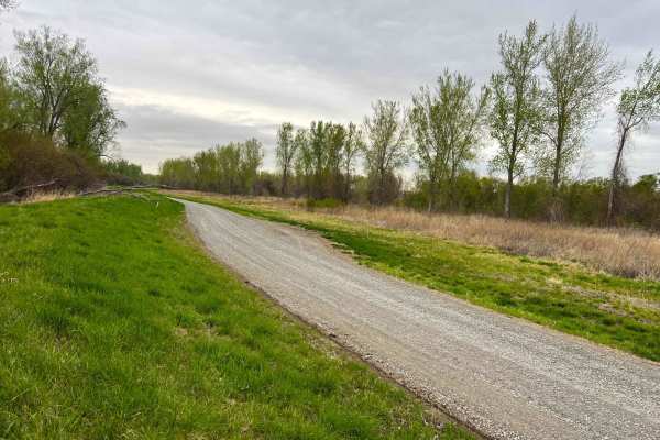
Bob Brown Conservation area is located west of Forest City Missouri in the Missouri River bottoms and is a wide well maintained gravel road. This is a great area for migratory bird watching, hunting and catfishing along the Missouri River. There are many river access points geared for fishing with a...
Learn more about Bob Brown
Castle Rock Trail
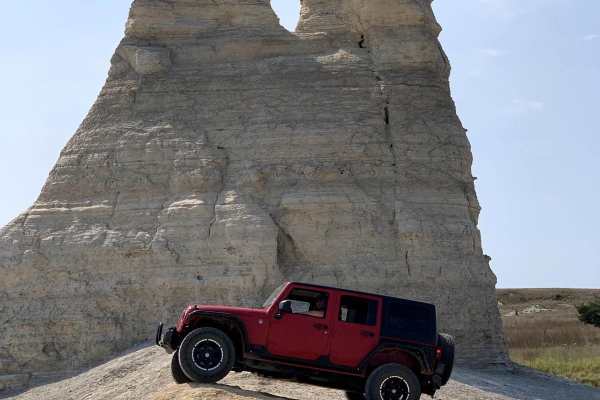
This 2.9-mile loop goes around the Castle Rock area. This is private land so please respect the area and remain on the trails. There are some side trails that are a little more difficult but do not create new trails. There are several short hiking trails to explore the rock formations of the area. T...
Learn more about Castle Rock Trail
Little Black
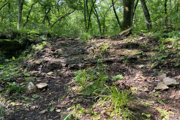
Little Black is a very short offshoot trail of Chicken Run. There are steep grades with rock shelves. You will find loose rock at the bottom. This trail has a lot of runoff to the creek where it connects with C2. This trail could be slick depending on recent rainfall.
Learn more about Little Black
Ron's Rock
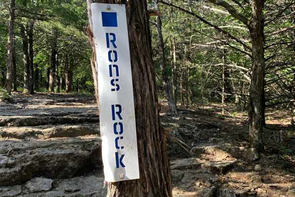
This is a very short trail located in the South Forty Area off of Tony's Playtime. Ron's Rock runs next to Big Dump. The obstacle is a section with several rock ledges that could put you off camber depending on the line you are taking. This trail will drop you down right onto Big Valley.
Learn more about Ron's Rock
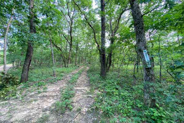
Yountroks
Yountroks is located between the Carnage Canyon and Buckeye Boonies area of the park. This is a short dirt trail that will connect you from Starky's Bomb to the Wagon Trail Connector. This trail is an easy one as it winds you through the trees. You can also be connected to a section of Ho Hummer.
Learn more about Yountroks

Meech Homestead
Meech Homestead is located between the Buckeye Boonies and the Carnage Canyon areas of the park. This is a non-directional trail, so it can be run from either end. This trail crosses over the junction point for Donny V's Notch and Wagon Trail Connector. The end is where it meets with Starky's Bomb.
Learn more about Meech Homestead
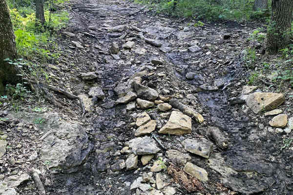
Black Hole
Black Hole is a short offshoot trail of Deliverance. It connects to Alan's Alley about halfway up. The surface of this trail is mostly loose rock. However, there is a fair amount of mud located at the bottom. If going at this trail from the bottom, the mud could cause traction issues.
Learn more about Black Hole
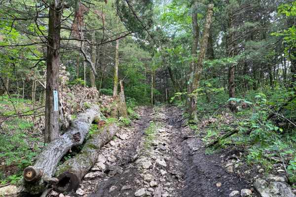
Brad's Breakdown
Brad's Breakdown is located within the Labyrinth Area of the park. You will be taken on a scenic drive through the trees and connected to Path Finder and Larry's Cash Box. If you're going uphill from Path Finder, it is very slick with trees on both sides that could cause body damage. There are also ...
Learn more about Brad's Breakdown
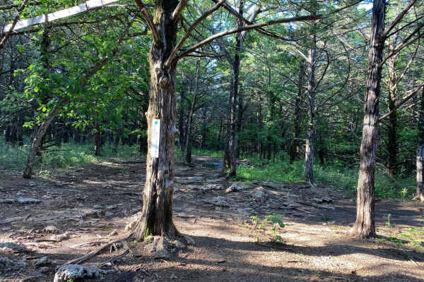
Tony's Playtime
Tony's Playtime is located in the South Forty Area of the Park. This trail starts close to the top of Ron's Rock. This is more of a scenic drive as you wind through the trees. It can be very muddy in the middle of the trail. It ends where Cedar Way begins.
Learn more about Tony's Playtime
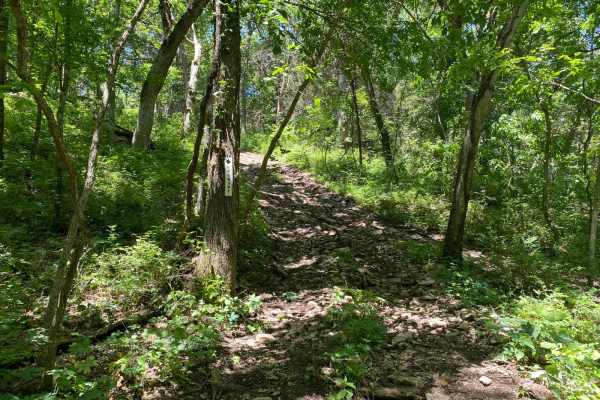
Upgrade
Upgrade runs between Heartbreak Ridge and Deliverance. This trail is a steep grade with a combination of loose rock and dirt. The rock ledges are less than 6 inches tall. Two trees run along the trail toward the top and appear to have been hit before.
Learn more about Upgrade
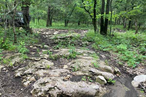
Kinky Keith's
Kinky Keith's is an offshoot trail from Rattlesnake Alley. This trail starts with mud and loose rock. You will be connected to Doug's Dive at the bottom. At the top, there are two lines to choose from. One has large boulders and rock ledges to climb, while the other line is a bypass for the harder o...
Learn more about Kinky Keith's
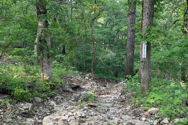
Alan's Alley
Alan's Alley is an offshoot trail of Deliverance. This trail runs alongside Black Hole. Expect loose rocks throughout the trail with a few smaller boulders. There are also tree roots sticking out of the ground along the way. The obstacles on the trail are smaller rock ledges up towards the top.
Learn more about Alan's Alley
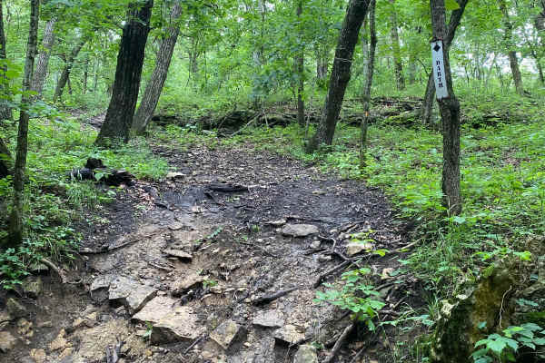
Darth
Darth is an offshoot trail of C2 and Spring Rattler. This trail is rock and mud, so it will be very slick depending on recent rainfall. Darth is a steep trail with rock ledges as obstacles. It could be a connector trail for C2 and Spring Rattler.
Learn more about Darth
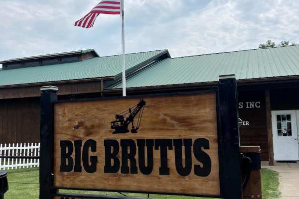
Big Brutus Poker Run
This route was created to honor Big Brutus. 90 Miles of adventure through local towns around Brutus. 90% of this trail is gravel road. 5% mud after some rain. This route will show a lot of beautiful history of the local towns. Passing old mining dugouts that are now home to wildlife, train tracks an...
Learn more about Big Brutus Poker Run
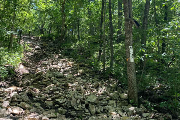
2 Late Nate
2 Late Nate runs between Rattlesnake Alley and West Autobahn. This trail is a steep rocky hill climb. The driver's side of the trail is very rutted out with standing water and mud to make it very slick. There are larger rock ledges towards the top.
Learn more about 2 Late Nate
ATV trails in Kansas
Explore ATV-friendly trails in Kansas. These trails are accessible for vehicles up to 50 inches wide, perfect for ATVs and smaller off-road machines.
Brown State Fishing Lake Road
Easy gravel road around Brown State Fishing Lake with small spurs around the lake to camp and fish. Camping and fishing are free. A couple of pit toilets around the lake and campfire rings at campsites. The lake is surrounded by cornfields. The grade is gentle and can be driven in a 2-wheel drive ve...
Learn more about Brown State Fishing Lake Road
Coronado to Dodge City
This scenic river bottom route offers an engaging sand-driving experience for offroaders, SxS drivers, and dirt bike riders looking to explore the historic Arkansas River corridor just west of Dodge City. Spanning from the Coronado Bridge at 117 Road to the western edge of the city, the trail consis...
Learn more about Coronado to Dodge City
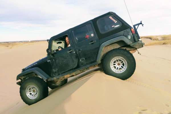
Syracuse Sand Dunes Big Dune Run
The Syracuse Sand Dunes Big Dune Run is a premier destination for sand enthusiasts, four-wheel-drive vehicles, and SxSs looking to tackle the park's largest and most famous dune. This short but exciting 1.5-mile route winds through the interior of the 1,300-acre Syracuse Sand Dunes park in western K...
Learn more about Syracuse Sand Dunes Big Dune Run
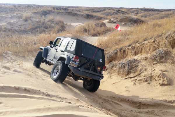
Syracuse Sand Dunes Perimeter Run
Syracuse Sand Dunes Perimeter Run is an exciting 7.9-mile sandy loop designed for offroaders seeking to explore the outer boundary of Kansas's premier 1,300-acre OHV park. This trail is ideal for four-wheel-drive vehicles, SxSs, ATVs, and dirt bikes, presenting a fantastic tour of the park's unique ...
Learn more about Syracuse Sand Dunes Perimeter Run
UTV/side-by-side trails in Kansas
Find UTV and side-by-side trails in Kansas. These trails accommodate vehicles up to 60 inches wide, ideal for UTVs, side-by-sides, and wider off-road rigs.
Brown State Fishing Lake Road
Easy gravel road around Brown State Fishing Lake with small spurs around the lake to camp and fish. Camping and fishing are free. A couple of pit toilets around the lake and campfire rings at campsites. The lake is surrounded by cornfields. The grade is gentle and can be driven in a 2-wheel drive ve...
Learn more about Brown State Fishing Lake Road
Coronado to Dodge City
This scenic river bottom route offers an engaging sand-driving experience for offroaders, SxS drivers, and dirt bike riders looking to explore the historic Arkansas River corridor just west of Dodge City. Spanning from the Coronado Bridge at 117 Road to the western edge of the city, the trail consis...
Learn more about Coronado to Dodge City
Little Black
Little Black is a very short offshoot trail of Chicken Run. There are steep grades with rock shelves. You will find loose rock at the bottom. This trail has a lot of runoff to the creek where it connects with C2. This trail could be slick depending on recent rainfall.
Learn more about Little Black
Ron's Rock
This is a very short trail located in the South Forty Area off of Tony's Playtime. Ron's Rock runs next to Big Dump. The obstacle is a section with several rock ledges that could put you off camber depending on the line you are taking. This trail will drop you down right onto Big Valley.
Learn more about Ron's Rock
The onX Offroad Difference
onX Offroad combines trail photos, descriptions, difficulty ratings, width restrictions, seasonality, and more in a user-friendly interface. Available on all devices, with offline access and full compatibility with CarPlay and Android Auto. Discover what you're missing today!
Open Trail Map