Kuenzli Creek
Total Miles
1.5
Technical Rating
Best Time
Summer, Winter, Fall, Spring
Trail Type
Full-Width Road
Accessible By
Trail Overview
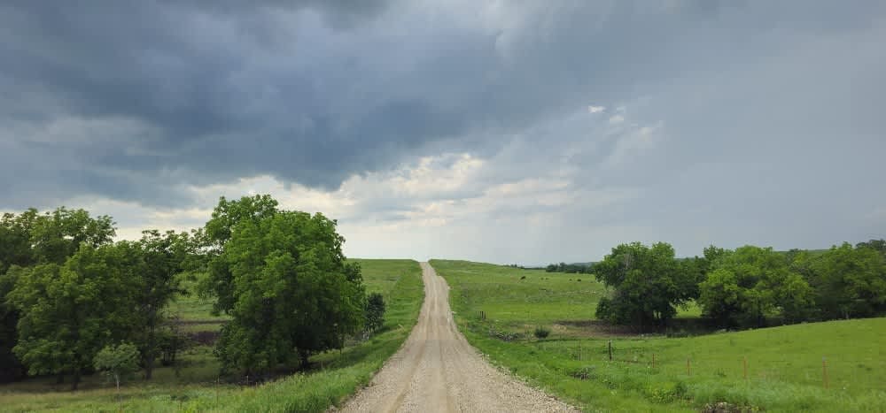
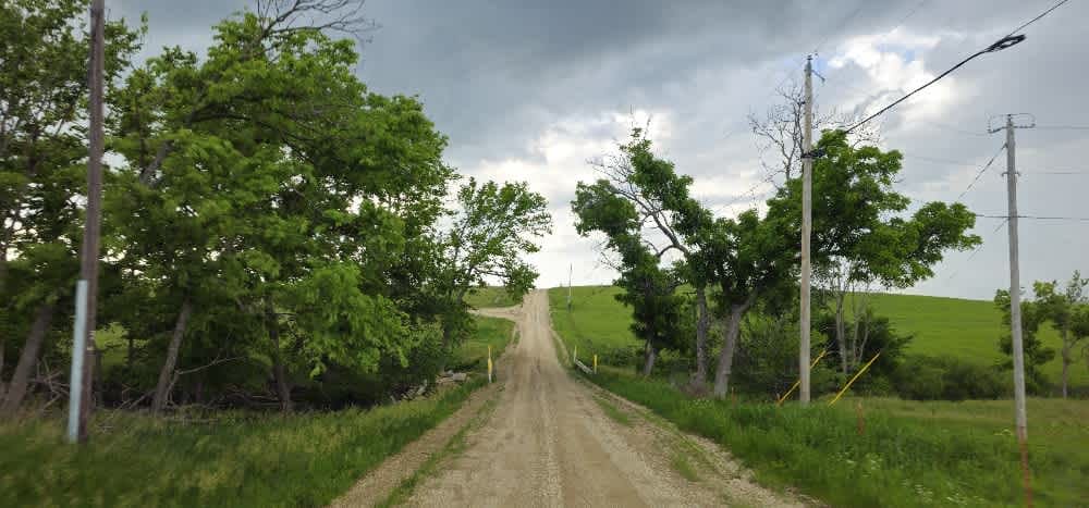
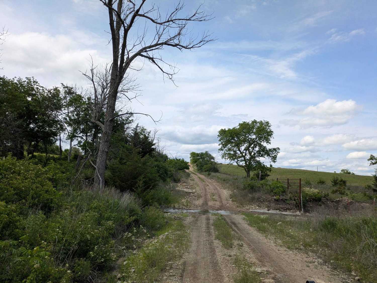
This trail follows a very well-maintained gravel road that remains mostly smooth as it winds through a hilly landscape. Drivers will navigate numerous ascents and descents, with occasional rocky or bumpy sections demanding attention. There are no formal or dispersed campsites along the route, and you won't find trash disposal or water supply facilities. Cell service is limited in this area, so check your onX app for coverage details before heading out.
Photos of Kuenzli Creek
Difficulty
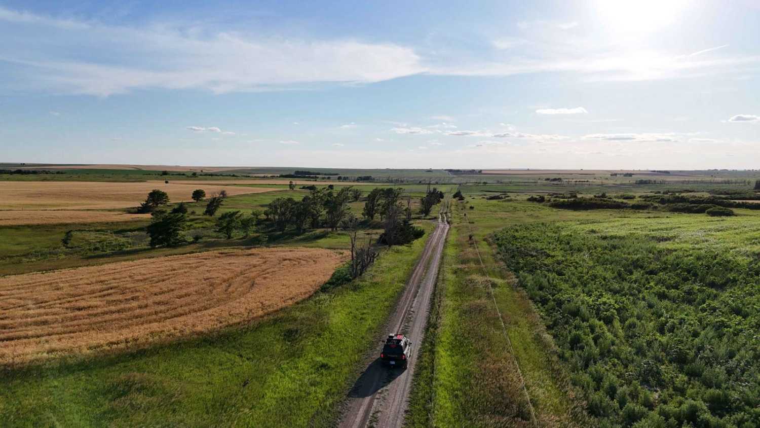
This road consists primarily of well-maintained county gravel roads and rural connectors running through the eastern edge of the Flint Hills. Roads are graded regularly, wide enough for two vehicles to pass, and suitable for all high-clearance vehicles and most passenger vehicles in dry conditions.
History
This route traces the historic heartland of the Flint Hills, a region that has remained largely untouched by modern agriculture due to its shallow, rocky soils--making it one of the last strongholds of North America's tallgrass prairie. The trail crosses land with deep cultural roots--from Native American hunting grounds to working cattle ranches. Expect long views over tallgrass prairie, passing ghost towns, century-old barns, and scenic byways that have carried generations of ranchers and travelers alike.
Status Reports
Kuenzli Creek can be accessed by the following ride types:
- High-Clearance 4x4
- SUV
Kuenzli Creek Map
Popular Trails
Southeast Wiedemann

Ted's Hill

The onX Offroad Difference
onX Offroad combines trail photos, descriptions, difficulty ratings, width restrictions, seasonality, and more in a user-friendly interface. Available on all devices, with offline access and full compatibility with CarPlay and Android Auto. Discover what you’re missing today!