Crisco Road
Total Miles
7.2
Technical Rating
Best Time
Spring, Summer, Fall, Winter
Trail Type
Full-Width Road
Accessible By
Trail Overview
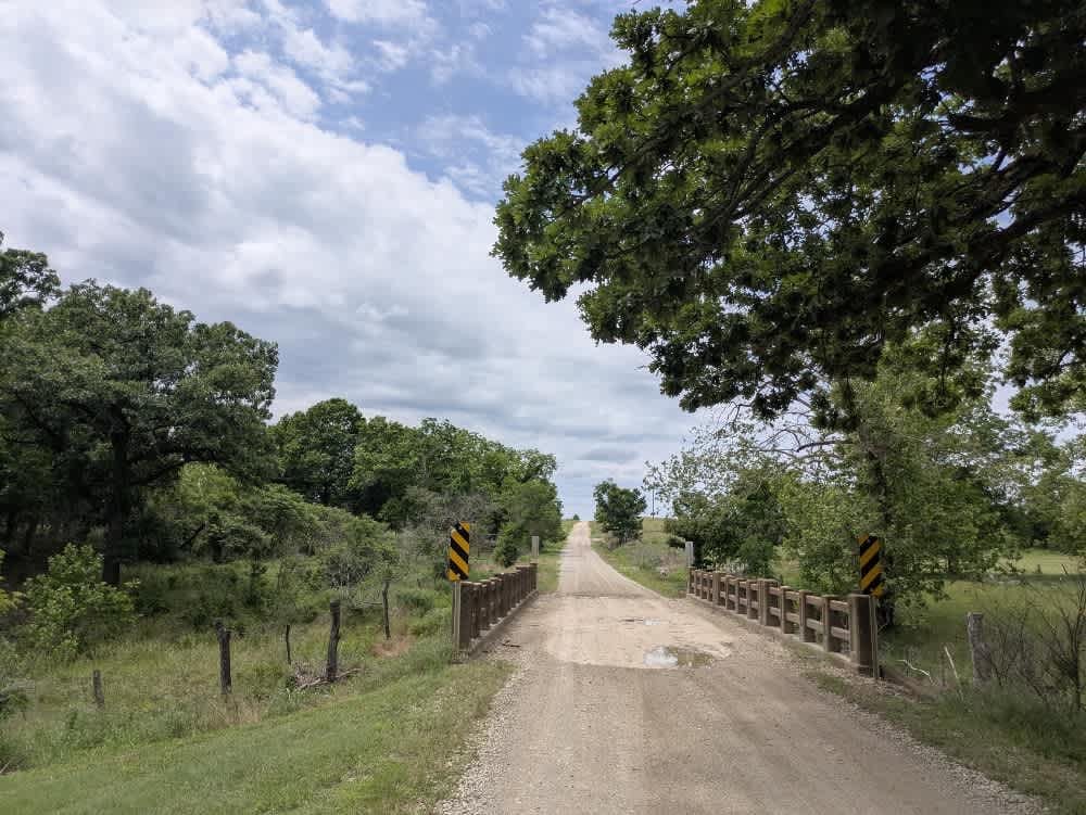
The route runs over generally well-graded gravel, though frequent corrugations and scattered bumps keep the suspension working. A couple of concrete fords carry the track over shallow rivers, and you will likely meet a steady stream of local traffic moving between pastures. All the while, the landscape rolls away in waves of bright green hills dotted with grazing cattle and neat farmhouses. There is nowhere to camp, no water or rubbish facilities, and cell reception fades in and out, so rely on your onX map whenever a signal appears.
Photos of Crisco Road
Difficulty
This road consists primarily of well-maintained county gravel roads and rural connectors running through the eastern edge of the Flint Hills. Roads are graded regularly, wide enough for two vehicles to pass, and suitable for all high-clearance vehicles and most passenger vehicles in dry conditions.
History
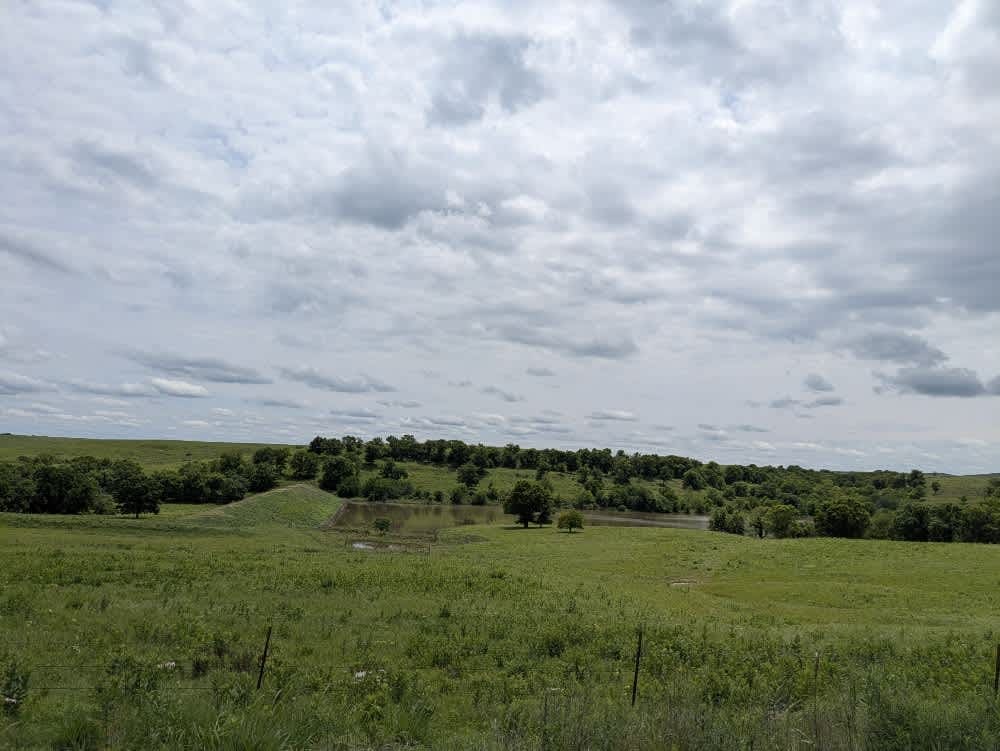
This route traces the historic heartland of the Flint Hills, a region that has remained largely untouched by modern agriculture due to its shallow, rocky soils--making it one of the last strongholds of North America's tallgrass prairie. The trail crosses land with deep cultural roots--from Native American hunting grounds to working cattle ranches. Expect long views over tallgrass prairie, passing ghost towns, century-old barns, and scenic byways that have carried generations of ranchers and travelers alike.
Status Reports
Crisco Road can be accessed by the following ride types:
- High-Clearance 4x4
- SUV
Crisco Road Map
Popular Trails

Gina's Giggle Gulch
The onX Offroad Difference
onX Offroad combines trail photos, descriptions, difficulty ratings, width restrictions, seasonality, and more in a user-friendly interface. Available on all devices, with offline access and full compatibility with CarPlay and Android Auto. Discover what you’re missing today!