Castle Rock Trail
Total Miles
2.8
Technical Rating
Best Time
Spring, Summer, Fall
Trail Type
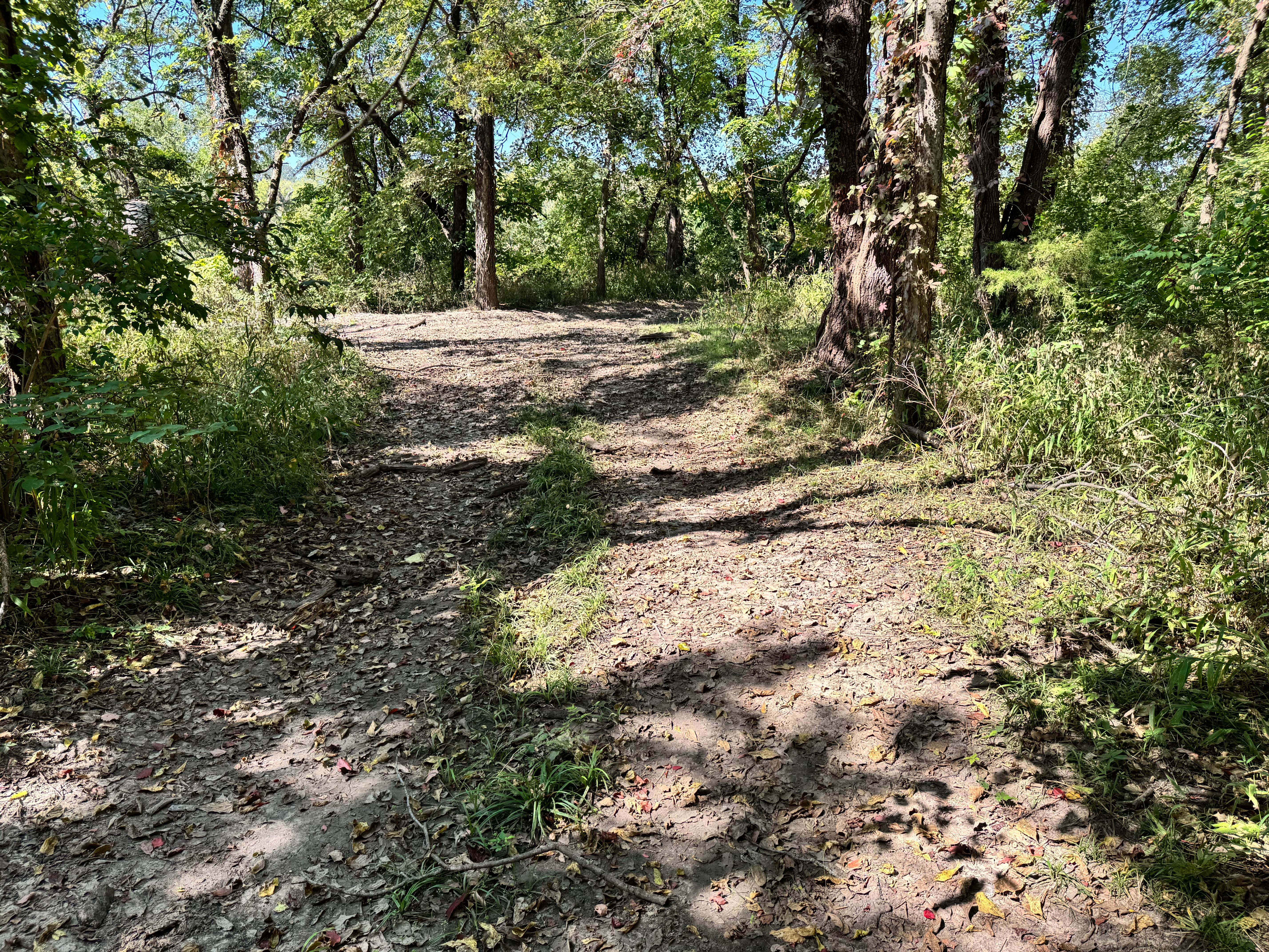
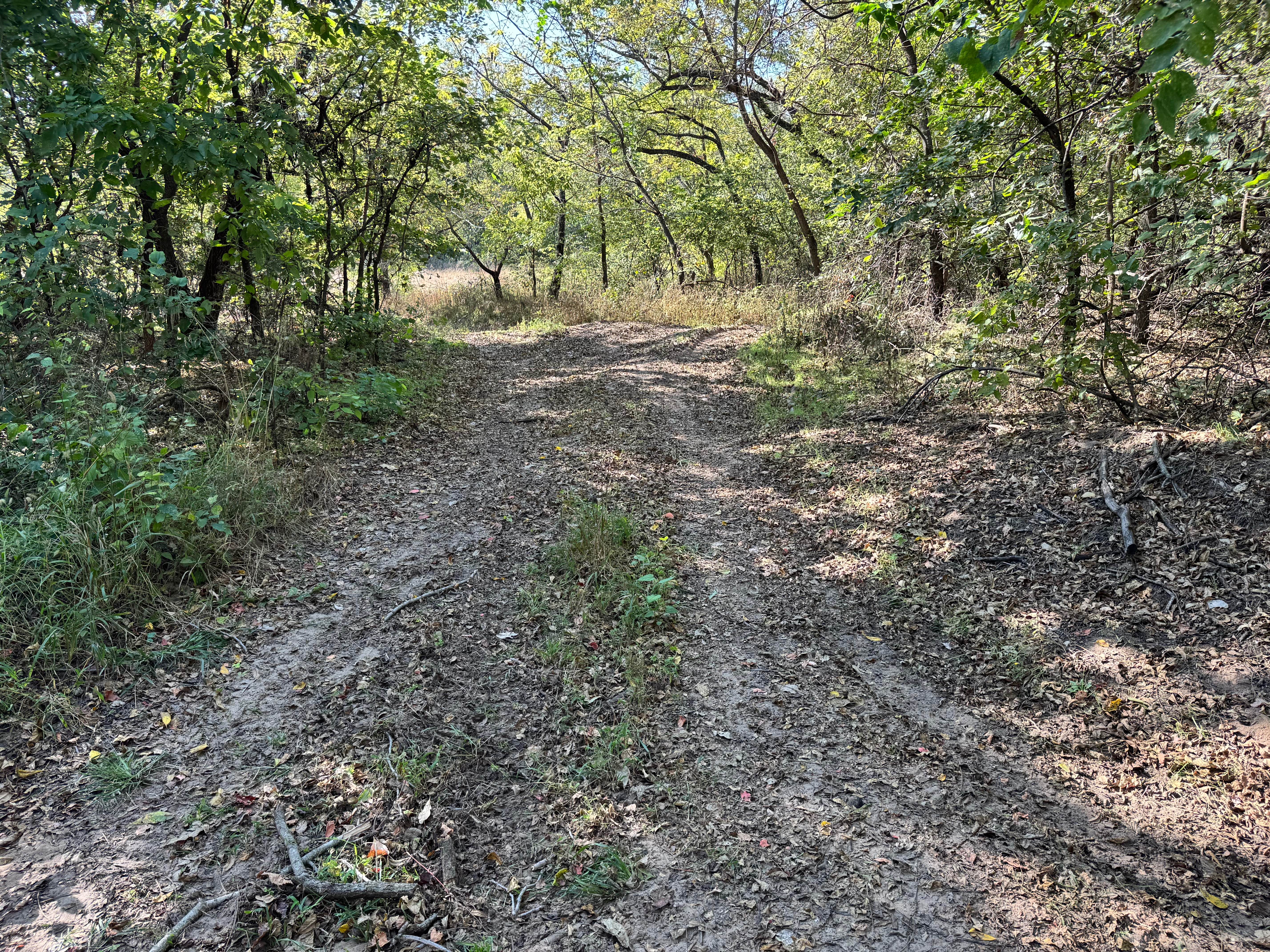
Full-Width Road
Accessible By
Trail Overview
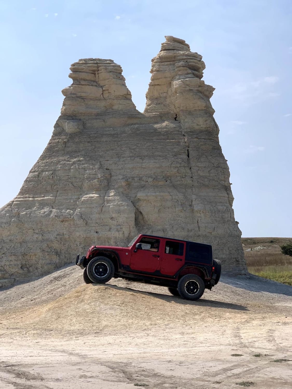
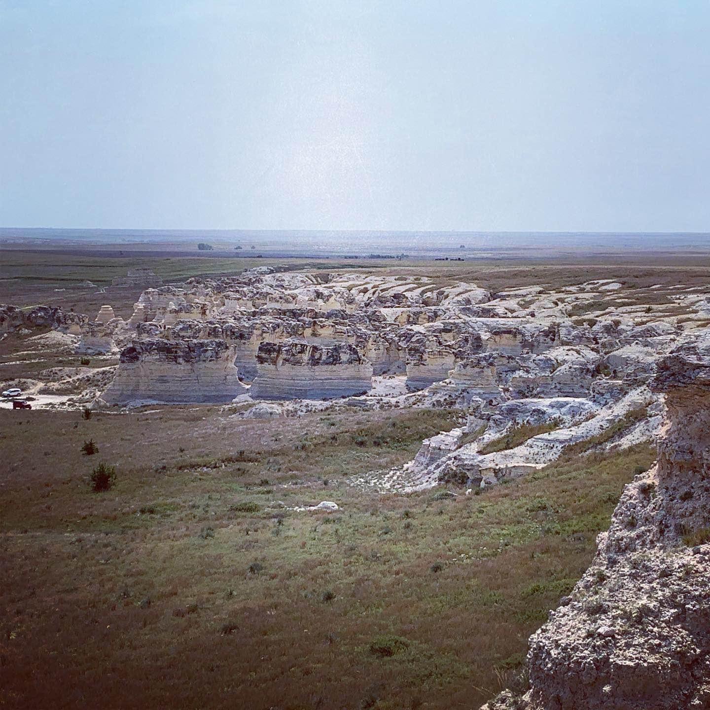
This 2.9-mile loop goes around the Castle Rock area. This is private land so please respect the area and remain on the trails. There are some side trails that are a little more difficult but do not create new trails. There are several short hiking trails to explore the rock formations of the area. The main rock formation 'Castle Rock' is a 70-foot-tall chalk pillar landmark of the Butterfield Overland Dispatch route which was used for transporting mail and freight in the 1860s.
Photos of Castle Rock Trail
Difficulty
This is a single-vehicle width trail with obstacles less than 12" in height.
History
The chalk in this area was deposited by an ancient inland sea. The wind and rain have weathered the chalk into the rock formations we see today. 'Castle Rock' now a 70 FT chalk pillar was used as a landmark in the 1860s while traveling the Butterfield Overland Dispatch Route to Colorado.
Status Reports
Castle Rock Trail can be accessed by the following ride types:
- High-Clearance 4x4
- SUV
- Dirt Bike
Castle Rock Trail Map
Popular Trails
Willys Whoops

Toolbox Trail
The onX Offroad Difference
onX Offroad combines trail photos, descriptions, difficulty ratings, width restrictions, seasonality, and more in a user-friendly interface. Available on all devices, with offline access and full compatibility with CarPlay and Android Auto. Discover what you’re missing today!