South Hitching Post - FS 1454
Total Miles
2.7
Technical Rating
Best Time
Summer, Fall
Trail Type
Full-Width Road
Accessible By
Trail Overview
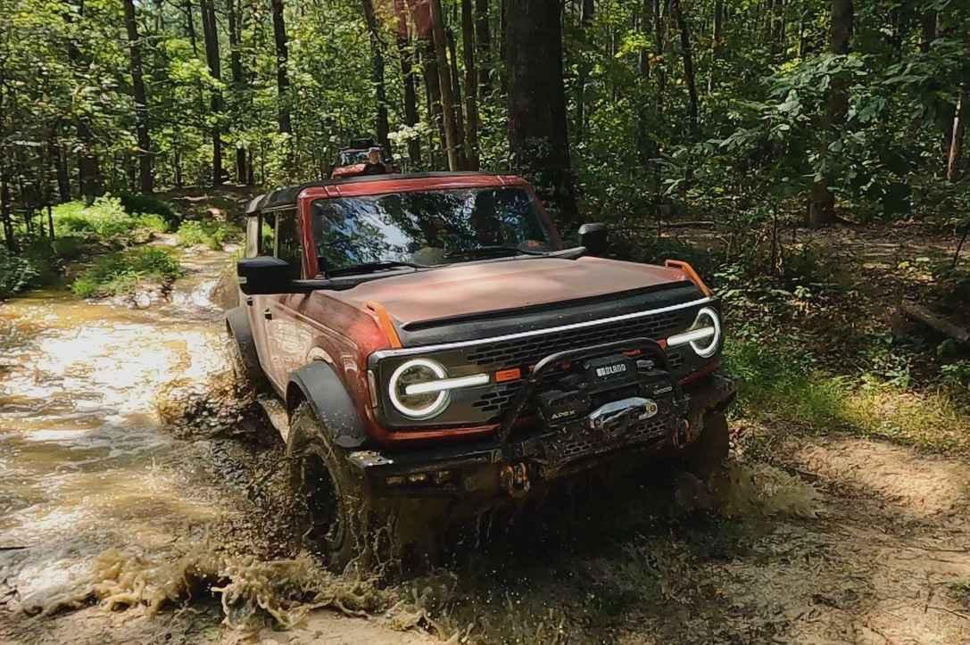
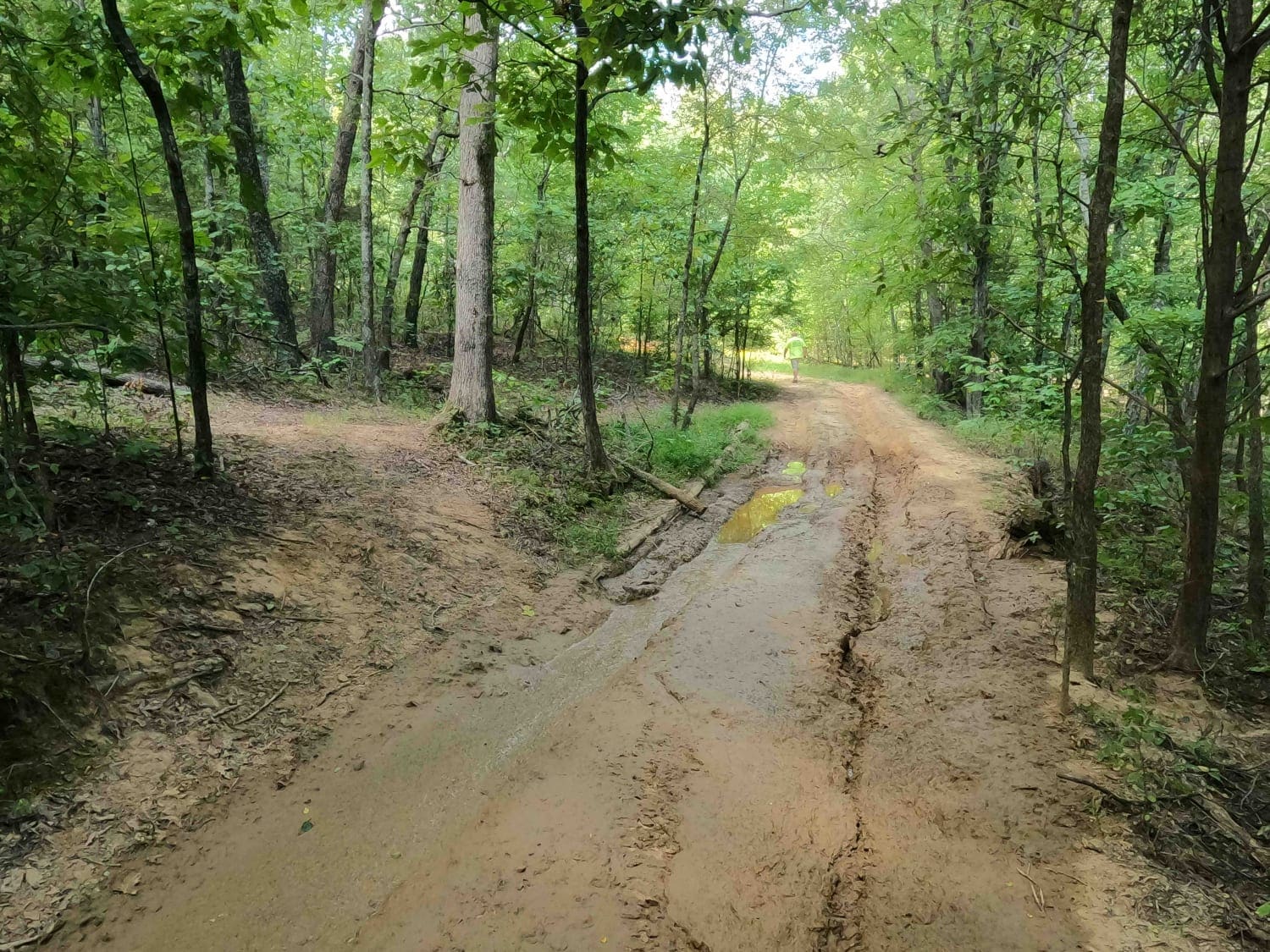
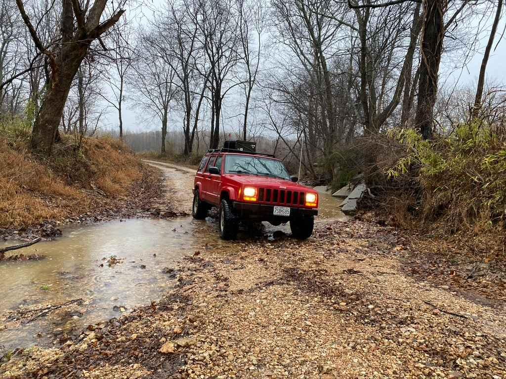
The South Hitching Post FSR 1454 (or Horton Hill South) is a rough natural forestry road through the Eagle Mountain area within the Hidden Springs sector of Shawnee National Forest. This route rests on the south hillside of Horton Hill, just south of the peak elevation. It features an overall steady grade uphill from the bottoms found on the trail's south end shortly past the Hitching Post parking lot located off Gape Hollow Road. It ultimately finishes 260 feet higher in elevation at the Lower Horton Hill Triangle at its most northern point. The terrain of the South Hitching Post is relatable to the other in terms of being a dirt-based natural road, featuring scattered out natural rock (half buried, 2- to 3-man boulders), large deep ruts, small occasional rock shelves, fallen trees, and tight tree lines to fit through. Where it differs is in the consistent downhill grade department, which feeds water downhill into the southern bottoms. This erodes the ruts and adds depth to the mudholes. Dubbed Joe's Swamp, this area is sloppy and rough in a dry season; be prepared with recovery gear and don't come alone. Definitely take the time to find an appropriate line and use momentum to your advantage. The mud here is fine, and the bottoms are soft. This area is held with high regard by Shawnee National Forest and is given a time of rest, closing between December 9th to May 9th yearly.
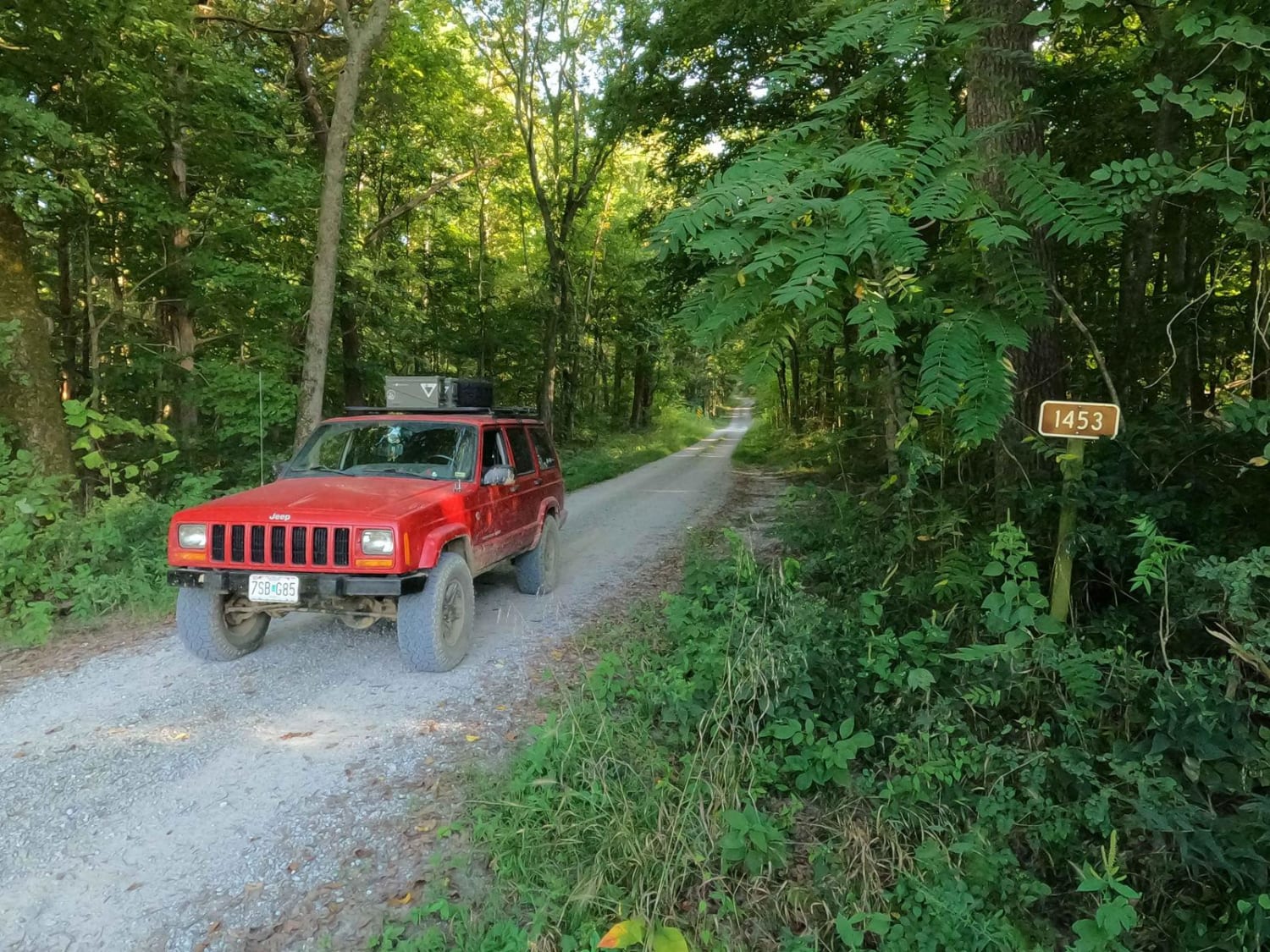
Photos of South Hitching Post - FS 1454
Difficulty
The South Hitching Post is very similar to the other Eagle Mountain trails to the north of it--more dirt-based roads with ruts, mud holes, and occasional natural rock obstacles. Where it differs is the consistent grade throughout. This creates rainwater channeling and erosion to an area already heavily shaped by nature and users and amplifies the gnarly sections even more. Specifically, the mudholes and ruts get deeper. The ruts are easily 3-foot deep, V-shaped notches that could swallow a compact to mid-size vehicle. Logs have been placed in some of these ruts by other users in the attempt to remove stuck rigs of the past or to take away from some of the potential depth. Towards the southern end of the trail, there are two notable areas to look for. The first is just a moderate grade named Kurt's Climb, featuring a mild rutted hill with natural rock laced throughout, found at 37.59816, -88.43934. Then there is the area called Joe's Swamp found at 37.59422, -88.43642. This is the gatekeeper of the trail. It features anywhere from 1- to 3+-foot-deep soft-bottomed mud holes, no matter what way you go. You eventually have to cross some hole here. If scouted out, a less difficult line through this area can be achieved by hitting only the shallow holes, but momentum is critical to getting past them. Some of these holes are in between tight trees and involve great attention not to be forced toward the trees. Be mindful of potential tree roots submerged in the edges of the holes. All in all, like the trails before it, there generally is a bypass for the gnarly sections of this trail, minus the two noted spots above. Most of this trail rides like a 4/10, and in dry seasons you may get away from the hard sections with smart choices of lines and only feel it is a 4/10. This trail can easily fool an unexperienced rider, a 1-foot mudhole can easily drop off into a 3-foot plus rutted-out mud hole, and the ruts are another example of this just at ground level. This trail is given a 6/10 base rating for the heavy potential of crossing said ruts and mudholes, especially at Joe's Swamp. The difficulty would greatly increase in seasons of heavy rain and wet conditions. This trail is rated based on dry season conditions and is gnarly in that state. Beware, come prepared and bring a friend.
Status Reports
South Hitching Post - FS 1454 can be accessed by the following ride types:
- High-Clearance 4x4
- SUV
South Hitching Post - FS 1454 Map
Popular Trails

Muddy Levee Road
South Silica Hill Road
Stone Face Lane - FS 1453
The onX Offroad Difference
onX Offroad combines trail photos, descriptions, difficulty ratings, width restrictions, seasonality, and more in a user-friendly interface. Available on all devices, with offline access and full compatibility with CarPlay and Android Auto. Discover what you’re missing today!