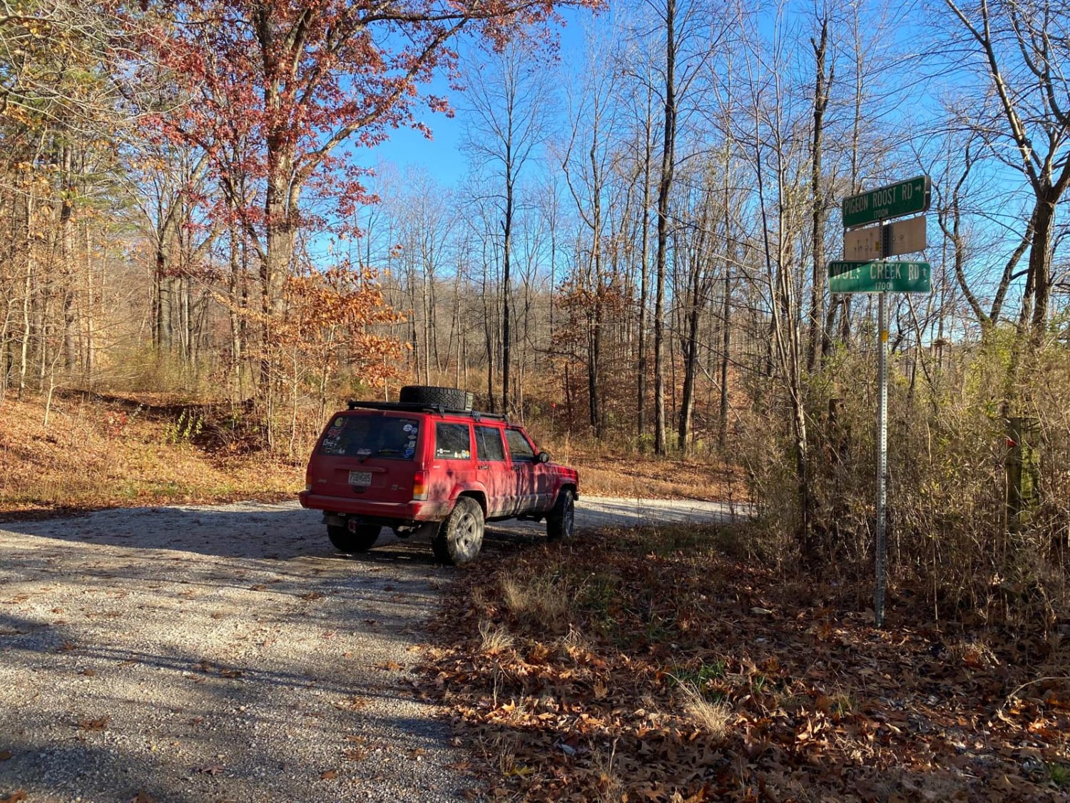
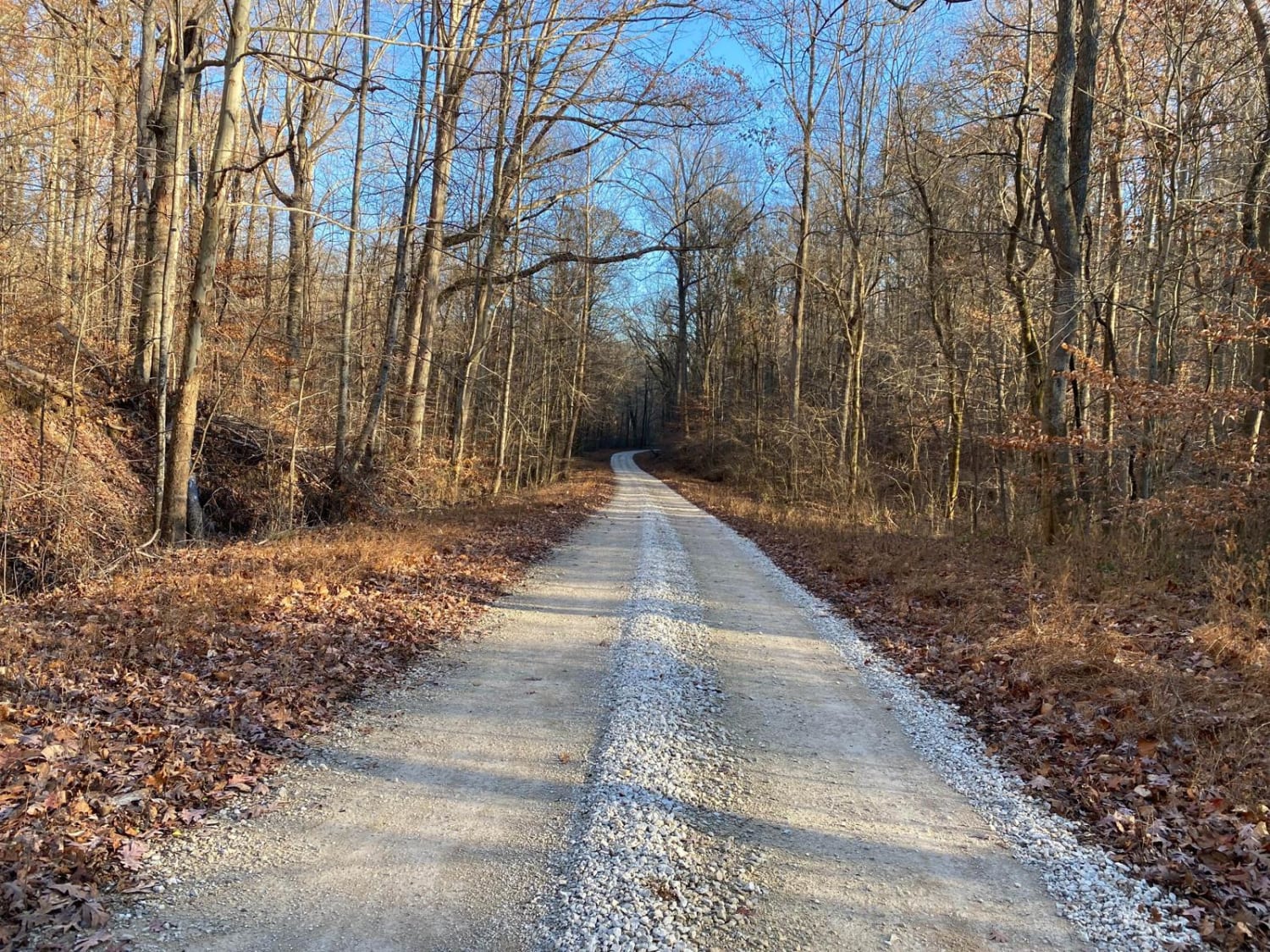
Wolf Creek Road
Total Miles
3.8
Technical Rating
Best Time
Spring, Fall
Trail Type
Full-Width Road
Accessible By
Trail Overview
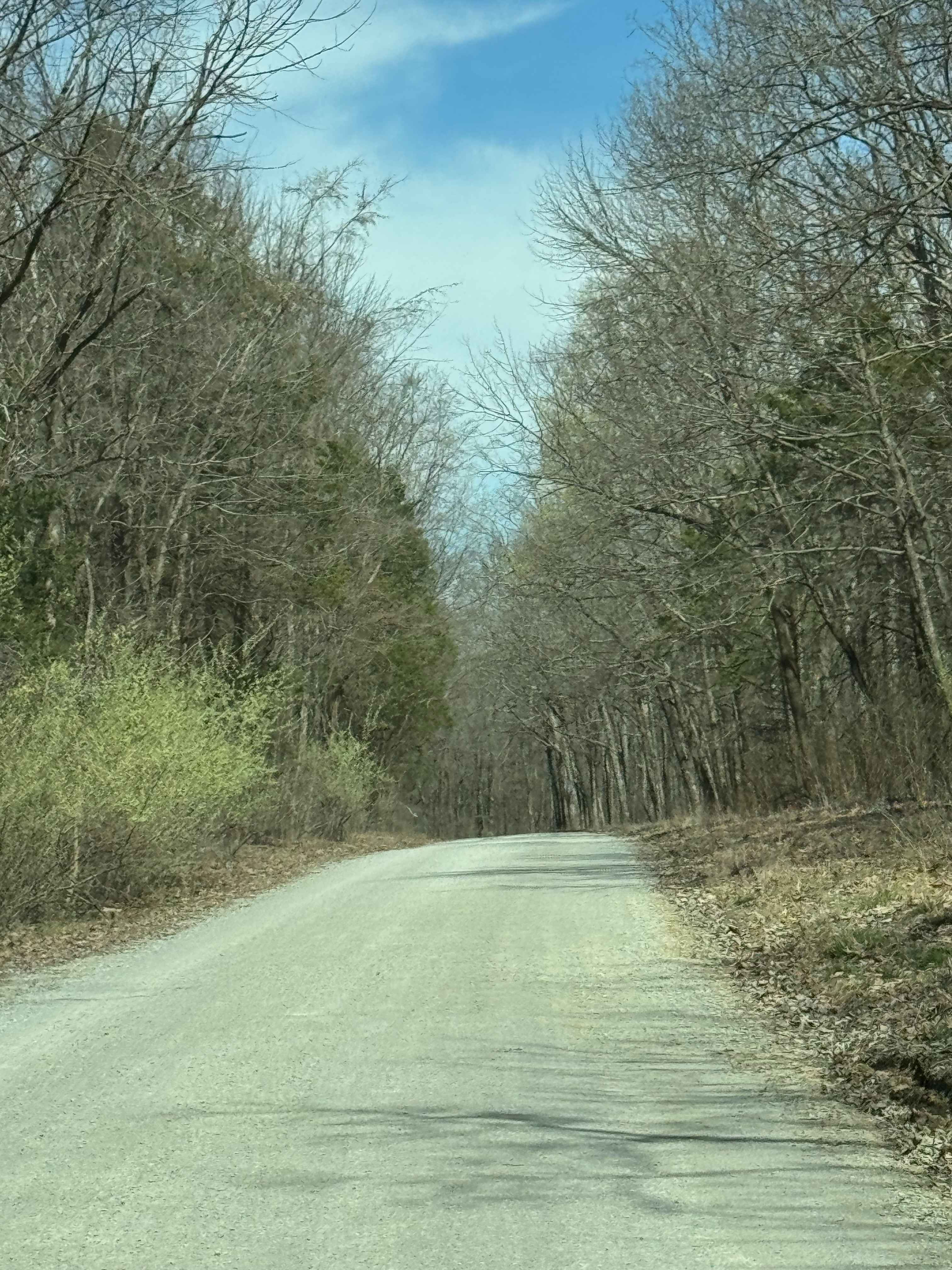
Wolf Creek Road is a gravel road running through a section of the Shawnee National Forest. It clocks in at 3.8 miles, leading slowly downhill from the hills of the Mississippi Bluffs into the low-laying land of central southern IL. It has 2 concrete-bottomed low-water bridges that may turn into shallow crossings with heavy rain. The road has a very scenic feel, following Wolf Creek as it cuts into the hillsides and landscape paralleling the road. This also leads you to the Honey School/Tower Road.
Photos of Wolf Creek Road
Difficulty
Just a simple scenic gravel road through the forest, the worst section of the road on the east end features mild ruts, mounding and washboarding
Status Reports
Wolf Creek Road can be accessed by the following ride types:
- High-Clearance 4x4
- SUV
Wolf Creek Road Map
Popular Trails

Tower Rock Road PCR 460
Otter Pond FSR 345A
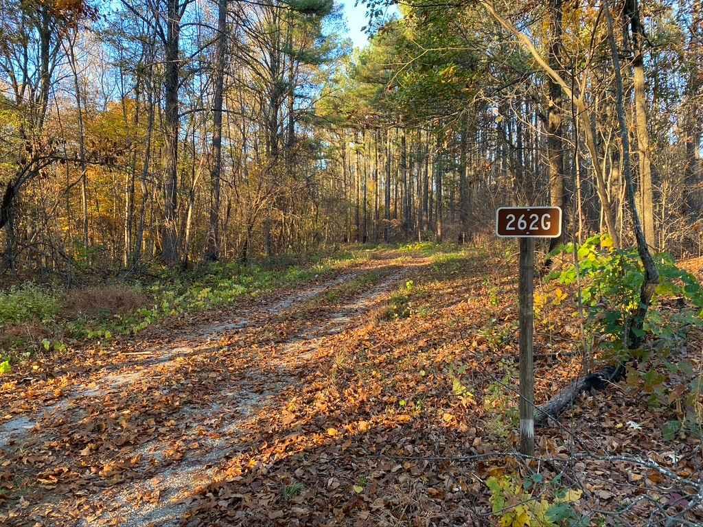
Slick Ridge SFR 262G
Burden Falls Road
The onX Offroad Difference
onX Offroad combines trail photos, descriptions, difficulty ratings, width restrictions, seasonality, and more in a user-friendly interface. Available on all devices, with offline access and full compatibility with CarPlay and Android Auto. Discover what you’re missing today!