Upper Sugarloaf
Total Miles
4.1
Technical Rating
Best Time
Winter, Fall, Summer, Spring
Trail Type
Single Track
Accessible By
Trail Overview
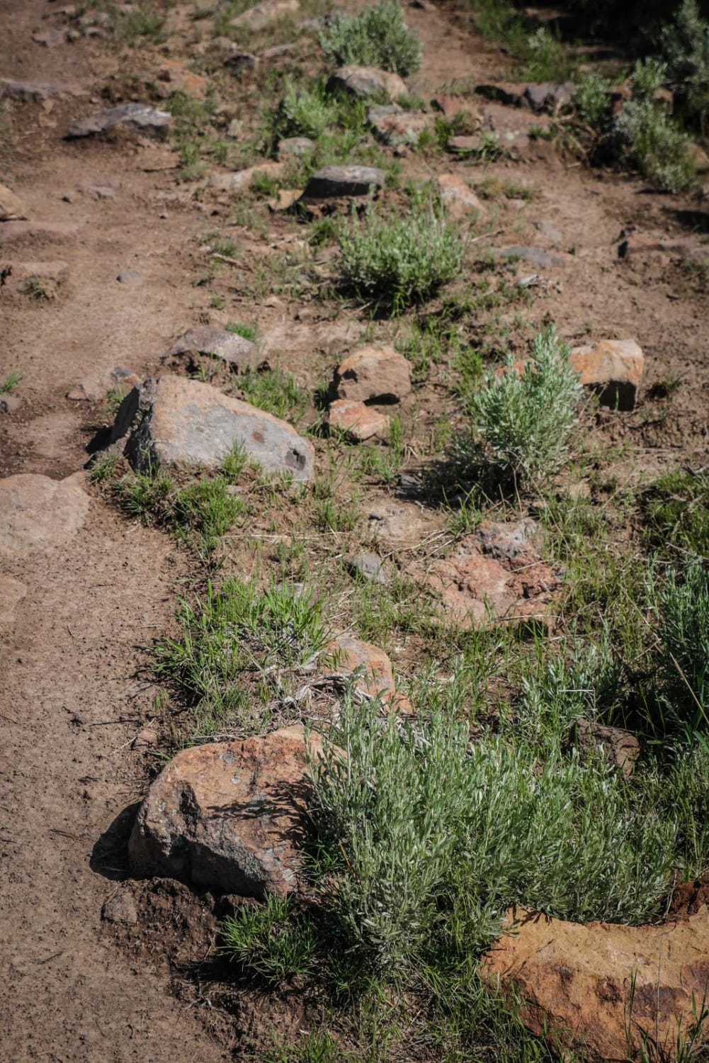
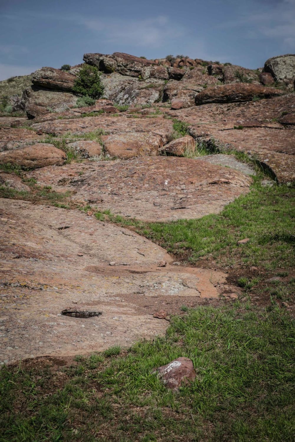
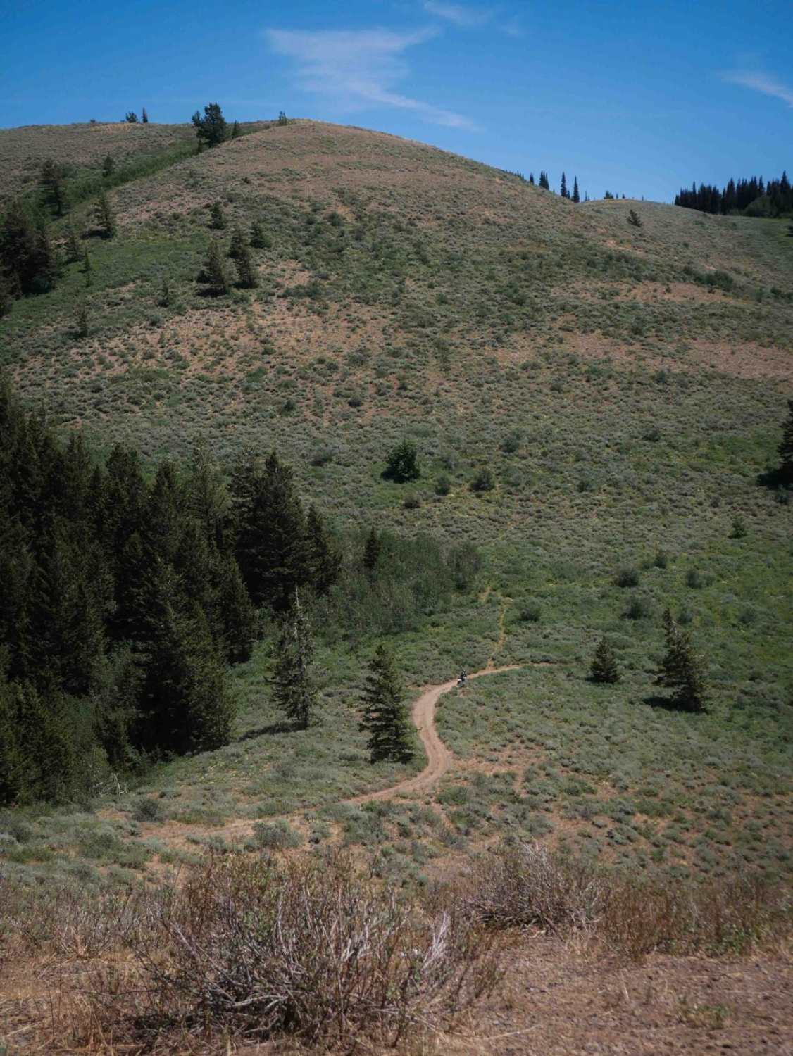
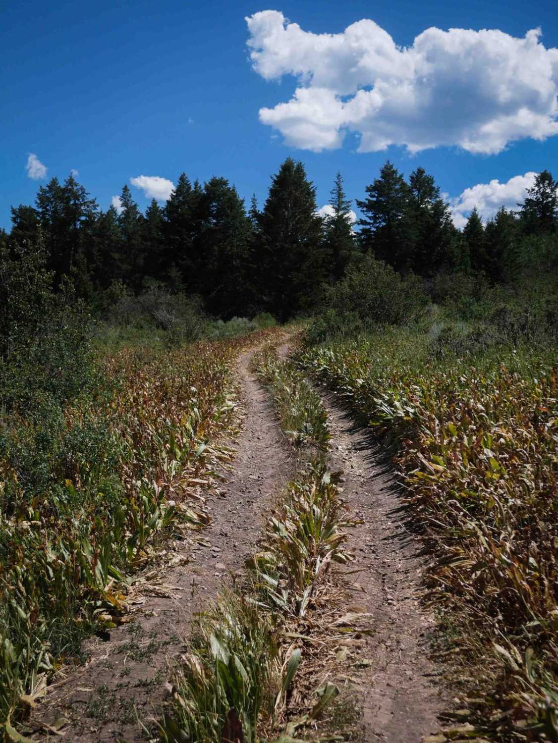
Upper Sugarloaf is one of the more difficult trails in the South Hills Trail System as it requires some moderate rock crawling. From the intersection with Lower Sugarloaf, it starts out lightly snaking through the sagebrush on a narrow dirt trail that is smooth with no rocks. Follow the signs for Upper Sugarloaf. It is signed at almost every intersection with other named trails, but there are a few unmarked intersections later on that would be helpful to have a map and GPS. At the cow trough the trail is easy to miss because there are vehicle tracks and other ruts that have become braided into the trail. The trail is heading towards the highest point in the area (Sugarloaf Mountain). It connects into North Willow Road (a dirt road) for a hundred feet or so before the trail turns left into the rocks. The left off of this road is easy to miss, as it goes into the red slab rocks on the left of the trail. This is a very fun section of rock crawling through the boulders. There are faint paint markings on the rock to help guide the trail, but a map helps here too. The rock crawling section is made up of moderate slab obstacles, and the locals call it "mini Moab". The rest of the trail is a mix of easy flowy trails through smooth sage bush and more rock sections. It zig-zags up the mountain all the way to 5,400 feet, just underneath the top of Sugarloaf Mountain. There are more rock slab sections with very tight turns, which is a good test of balance. The trail doesn't actually get you to the summit of Sugarloaf Mountain with a view. Rather, it skirts around below the top of Sugarloaf Mountain, then ends on Indian Spring Road.
Photos of Upper Sugarloaf
Difficulty
Intermediate trail with tight turns and moderate rock ledge obstacles.
Status Reports
Upper Sugarloaf can be accessed by the following ride types:
- Dirt Bike
Upper Sugarloaf Map
Popular Trails
Middle South Sulphur Canyon #5243
Slate Trail #3119

Lupine Gulch
The onX Offroad Difference
onX Offroad combines trail photos, descriptions, difficulty ratings, width restrictions, seasonality, and more in a user-friendly interface. Available on all devices, with offline access and full compatibility with CarPlay and Android Auto. Discover what you’re missing today!