Rattlesnake Trail A
Total Miles
0.2
Technical Rating
Best Time
Spring, Fall, Summer
Trail Type
50" Trail
Accessible By
Trail Overview
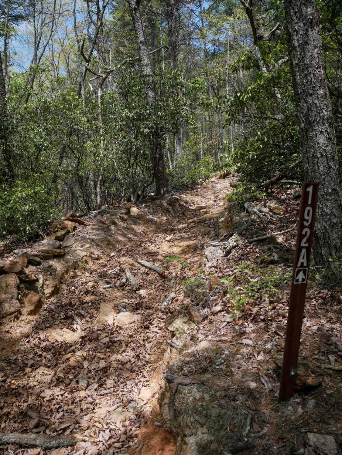
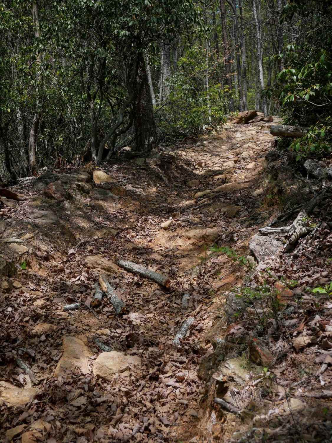
Trail A is a directional connector running south to north, known for its consistent and steep ascent. The southern entrance is the most technical section, featuring loose rocks, roots, and embedded rock that challenge traction early on. The narrow path climbs steeply, weaving through trees and remaining heavily covered in leaves, which can obscure surface details. Near the top, riders will encounter flat, embedded boulders that add to the difficulty. Likely one of the lesser-used trails in the system, Trail A requires focus and solid climbing ability to navigate its sustained grade and rough terrain.
Photos of Rattlesnake Trail A
Difficulty
While short, this is an intermediate trail due to rock obstacles and steep terrain.
Status Reports
Rattlesnake Trail A can be accessed by the following ride types:
- ATV (50")
- Dirt Bike
Rattlesnake Trail A Map
Popular Trails
Greenwood Church Road

Dry Creek - Forest Road 226

FS-44A Upper Low Gap Creek
Little Rock Wildlife Drive
The onX Offroad Difference
onX Offroad combines trail photos, descriptions, difficulty ratings, width restrictions, seasonality, and more in a user-friendly interface. Available on all devices, with offline access and full compatibility with CarPlay and Android Auto. Discover what you’re missing today!