Off-Road Trails in Florida
Discover off-road trails in Florida
Learn more about Bostic Pelt-Lawhorn Mill - Apalachicola FR 356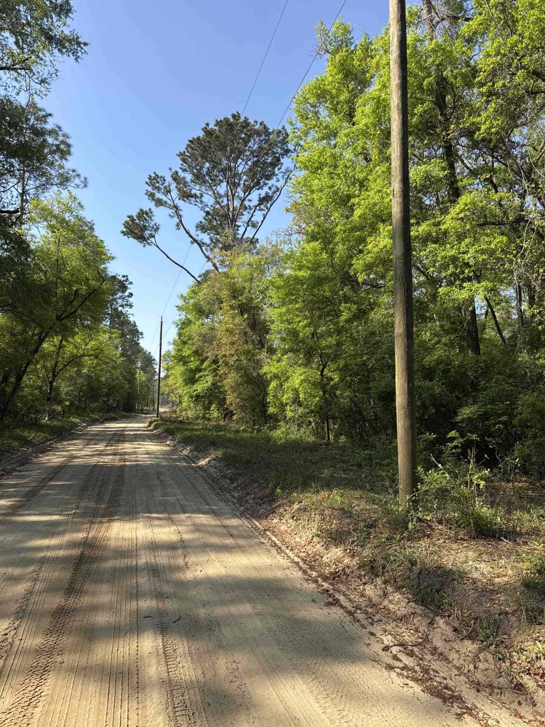
Bostic Pelt-Lawhorn Mill - Apalachicola FR 356
Total Miles
3.7
Tech Rating
Easy
Best Time
Winter, Fall, Spring
Learn more about BOTOA Trail
BOTOA Trail
Total Miles
1.8
Tech Rating
Easy
Best Time
Spring, Summer, Fall, Winter
Learn more about Boundary Loop
Boundary Loop
Total Miles
2.1
Tech Rating
Easy
Best Time
Spring, Fall, Winter
Learn more about Boundary Road
Boundary Road
Total Miles
7.4
Tech Rating
Easy
Best Time
Spring, Fall, Winter

Learn more about Bow East 118 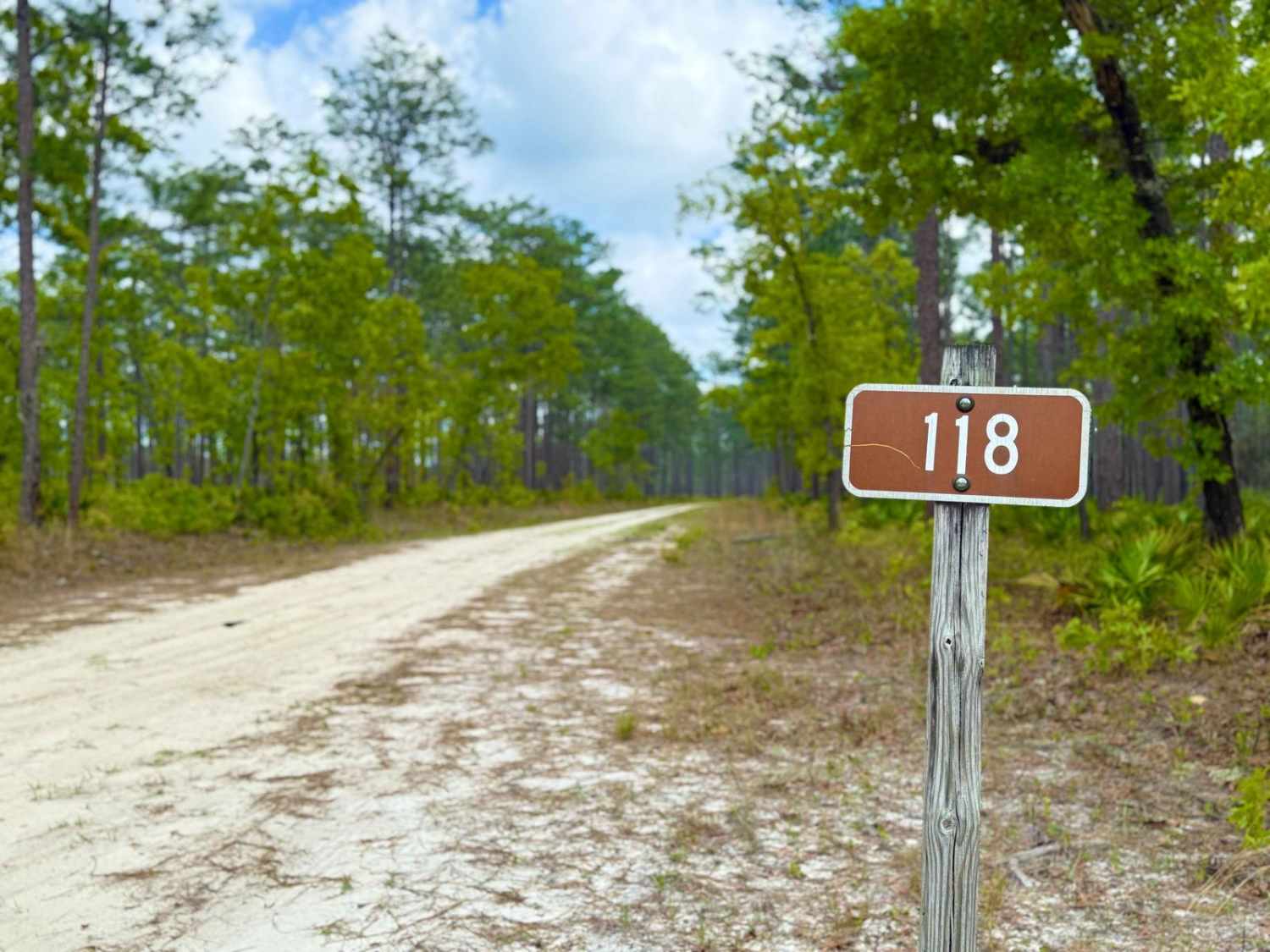
Bow East 118
Total Miles
6.4
Tech Rating
Easy
Best Time
Spring, Summer, Fall, Winter
Learn more about Bow West 118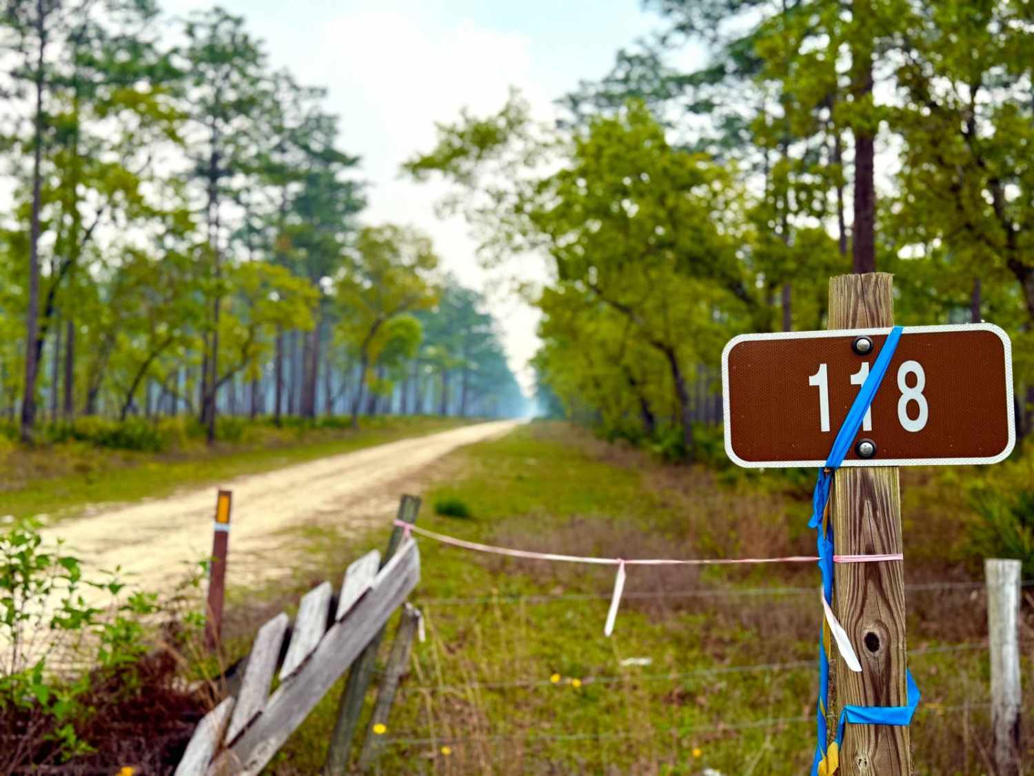
Bow West 118
Total Miles
5.2
Tech Rating
Easy
Best Time
Summer, Spring, Fall, Winter
Learn more about Bradwell Bay - FS 349
Bradwell Bay - FS 349
Total Miles
14.2
Tech Rating
Moderate
Best Time
Spring, Fall, Winter
Learn more about Briar Patch Road - FS 123 North
Briar Patch Road - FS 123 North
Total Miles
6.2
Tech Rating
Easy
Best Time
Spring, Summer, Winter, Fall
Learn more about Briar Patch Road - FS 123 South
Briar Patch Road - FS 123 South
Total Miles
3.1
Tech Rating
Easy
Best Time
Spring, Summer, Fall, Winter
Learn more about Brickyard Landing - 129
Brickyard Landing - 129
Total Miles
2.5
Tech Rating
Easy
Best Time
Spring, Summer, Fall, Winter
Learn more about Brown House FS-309 
Brown House FS-309
Total Miles
5.6
Tech Rating
Easy
Best Time
Summer, Fall
Learn more about Buck Siding Road
Buck Siding Road
Total Miles
17.1
Tech Rating
Moderate
Best Time
Spring, Fall, Winter
Learn more about Buckhorn North - FS 360
Buckhorn North - FS 360
Total Miles
0.9
Tech Rating
Easy
Best Time
Fall, Summer
Learn more about BuckHorn North - FS 360 South
BuckHorn North - FS 360 South
Total Miles
2.9
Tech Rating
Easy
Best Time
Summer, Fall
Learn more about Bullard Church Road
Bullard Church Road
Total Miles
3.3
Tech Rating
Easy
Best Time
Spring, Fall, Winter
Learn more about Burned Out Bridge Road 
Burned Out Bridge Road
Total Miles
4.2
Tech Rating
Easy
Best Time
Spring, Summer, Fall, Winter
Learn more about Burnt Bridge Road
Burnt Bridge Road
Total Miles
11.4
Tech Rating
Easy
Best Time
Spring, Fall, Winter
Learn more about Burnt Island Loop
Burnt Island Loop
Total Miles
2.6
Tech Rating
Moderate
Best Time
Fall, Winter, Spring
ATV trails in Florida
Learn more about 267 - Otter Camp (344)
267 - Otter Camp (344)
Total Miles
7.0
Tech Rating
Easy
Best Time
Summer, Fall, Winter, Spring
Learn more about 305 North Pasture 
305 North Pasture
Total Miles
7.1
Tech Rating
Easy
Best Time
Spring, Summer, Fall, Winter
Learn more about 40 Acre Lake
40 Acre Lake
Total Miles
1.4
Tech Rating
Difficult
Best Time
Spring, Summer, Fall, Winter
Learn more about 5 Mile Road Winter Garden - Clermont
5 Mile Road Winter Garden - Clermont
Total Miles
6.5
Tech Rating
Easy
Best Time
Spring, Summer, Fall, Winter
UTV/side-by-side trails in Florida
Learn more about 267 - Otter Camp (344)
267 - Otter Camp (344)
Total Miles
7.0
Tech Rating
Easy
Best Time
Summer, Fall, Winter, Spring
Learn more about 305 North Pasture
305 North Pasture
Total Miles
7.1
Tech Rating
Easy
Best Time
Spring, Summer, Fall, Winter
Learn more about 40 Acre Lake
40 Acre Lake
Total Miles
1.4
Tech Rating
Difficult
Best Time
Spring, Summer, Fall, Winter
Learn more about 5 Mile Road Winter Garden - Clermont
5 Mile Road Winter Garden - Clermont
Total Miles
6.5
Tech Rating
Easy
Best Time
Spring, Summer, Fall, Winter
The onX Offroad Difference
onX Offroad combines trail photos, descriptions, difficulty ratings, width restrictions, seasonality, and more in a user-friendly interface. Available on all devices, with offline access and full compatibility with CarPlay and Android Auto. Discover what you’re missing today!