Wild Bill Gulch Road
Total Miles
4.8
Technical Rating
Best Time
Spring, Summer, Fall, Winter
Trail Type
Full-Width Road
Accessible By
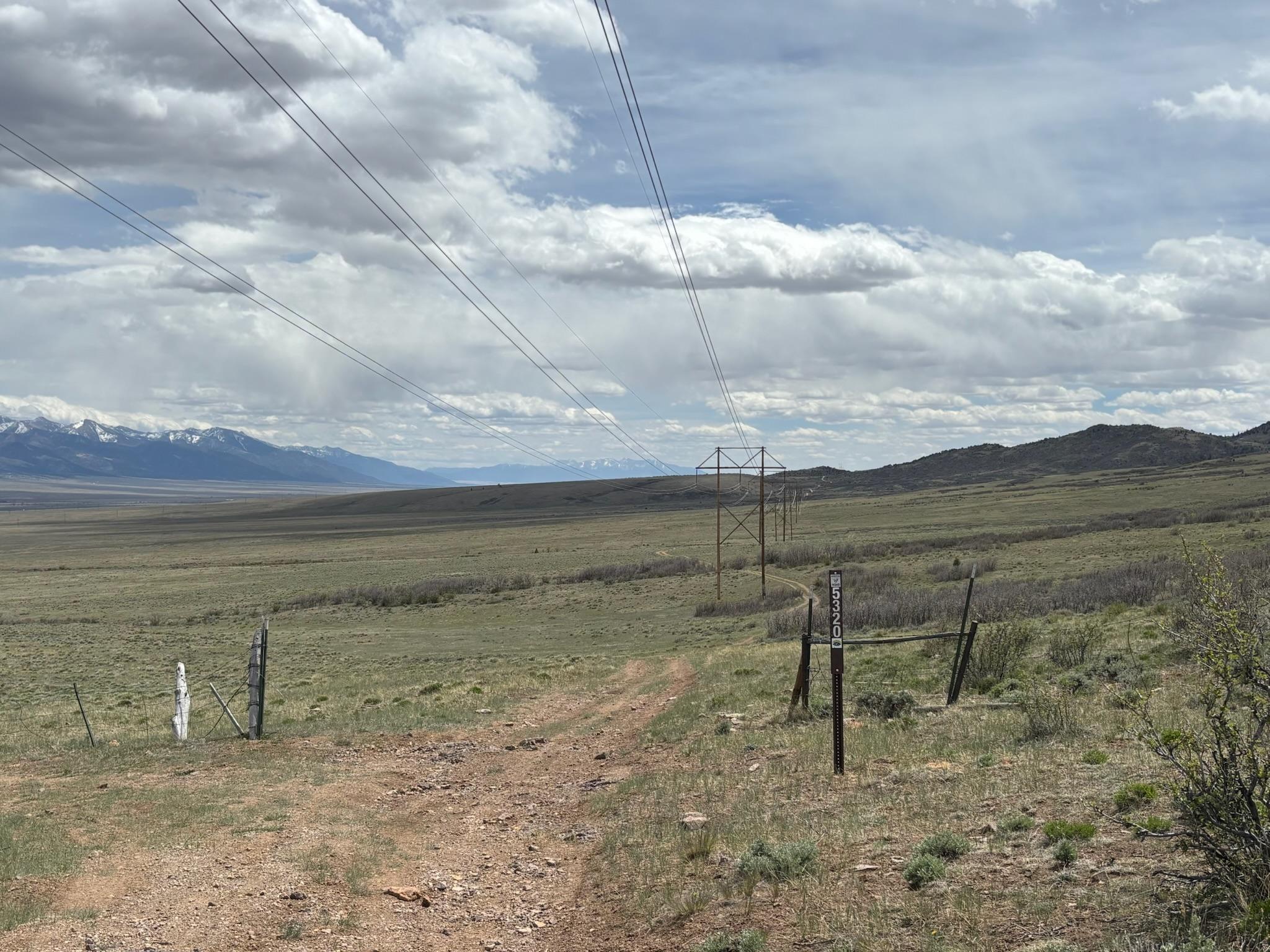
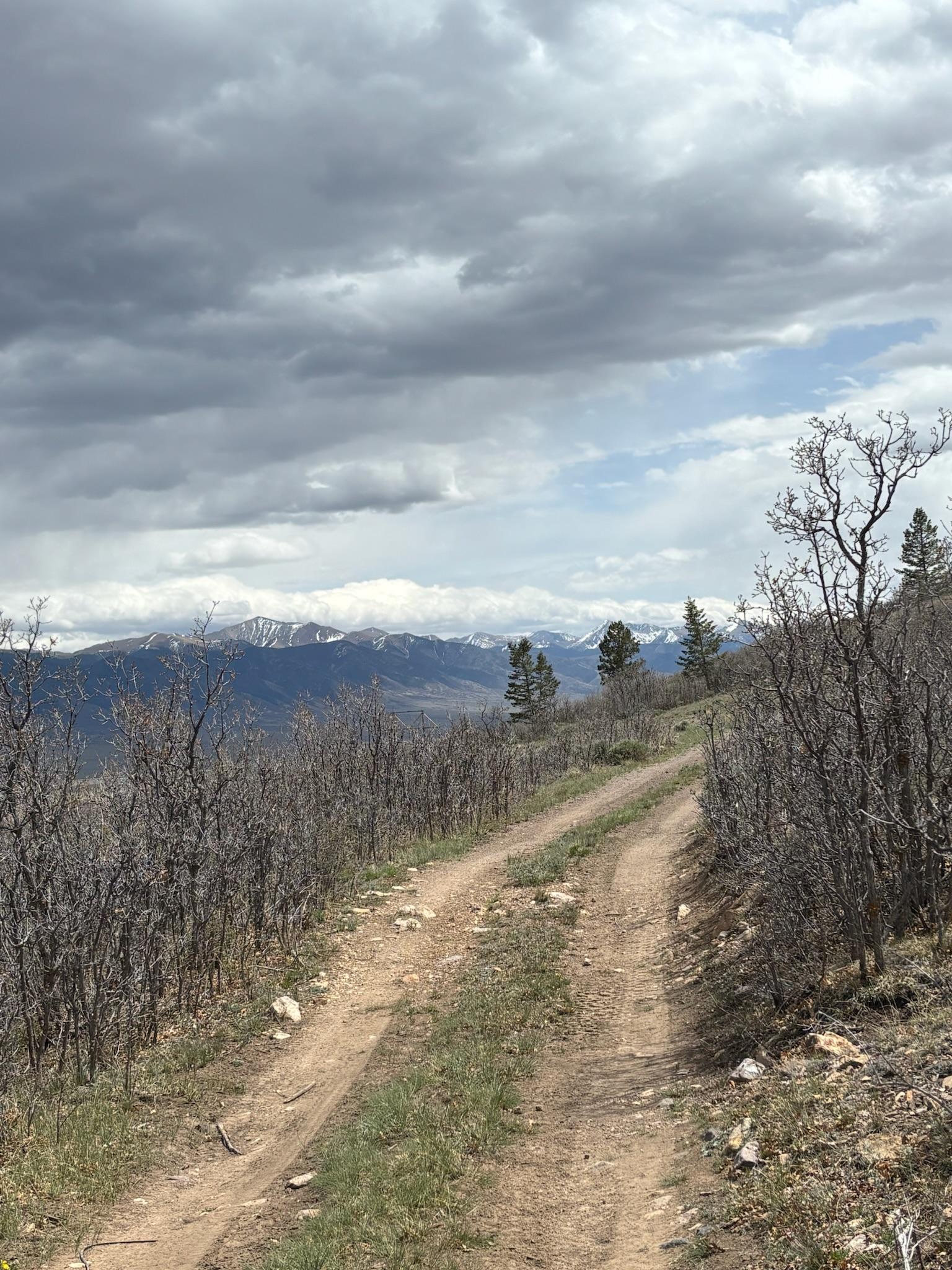
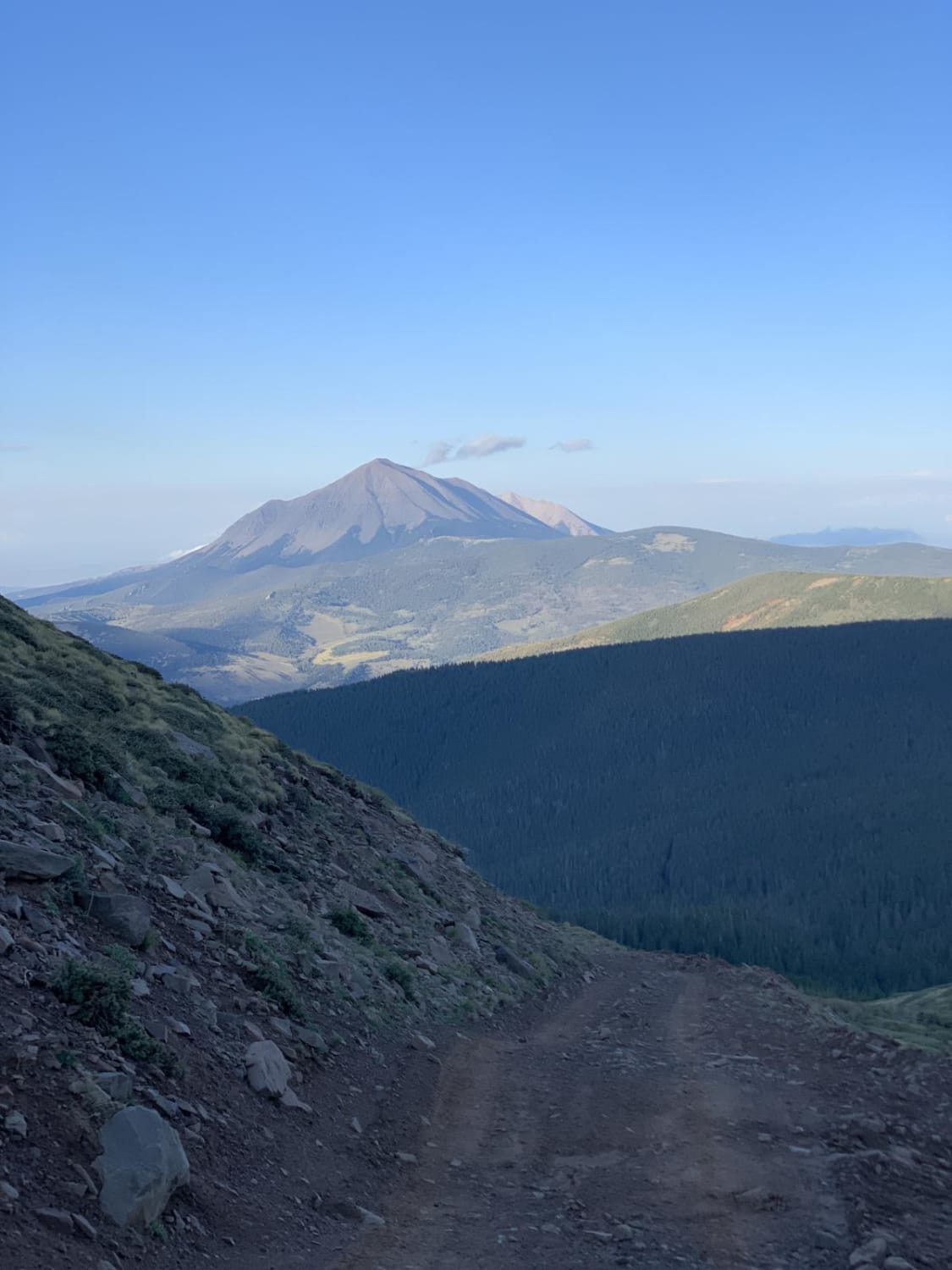
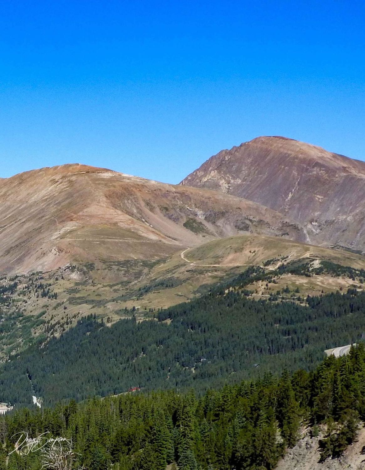
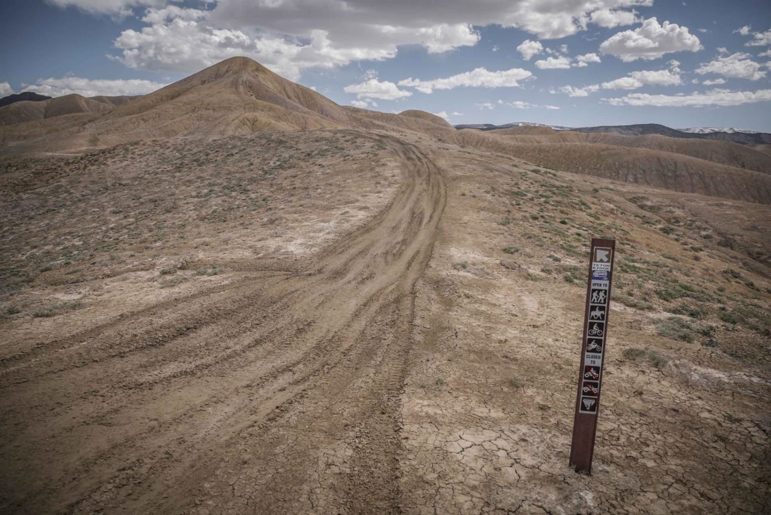
Trail Overview
This route works its way through the base of the foothills of the Sawatch Range, right above (and eventually down to) the open plains below. As you make your way through this rugged terrain, you'll see sweeping views of the surrounding peaks in both the Sawatch and Sangre de Cristo mountain ranges. Additionally, you may see large groups of the antelope common to this area, as there is a large watering hole in the southern portion of the trail. The trail itself is fairly rough and rocky, but you never leave the sight of Highway 285 below.
Photos of Wild Bill Gulch Road
Difficulty
This road includes deep rutting towards the beginning and several portions that tend to be overgrown with low-hanging branches. It is generally rocky throughout.
Status Reports
Wild Bill Gulch Road can be accessed by the following ride types:
- High-Clearance 4x4
- SUV
- SxS (60")
- ATV (50")
- Dirt Bike
Wild Bill Gulch Road Map
Popular Trails
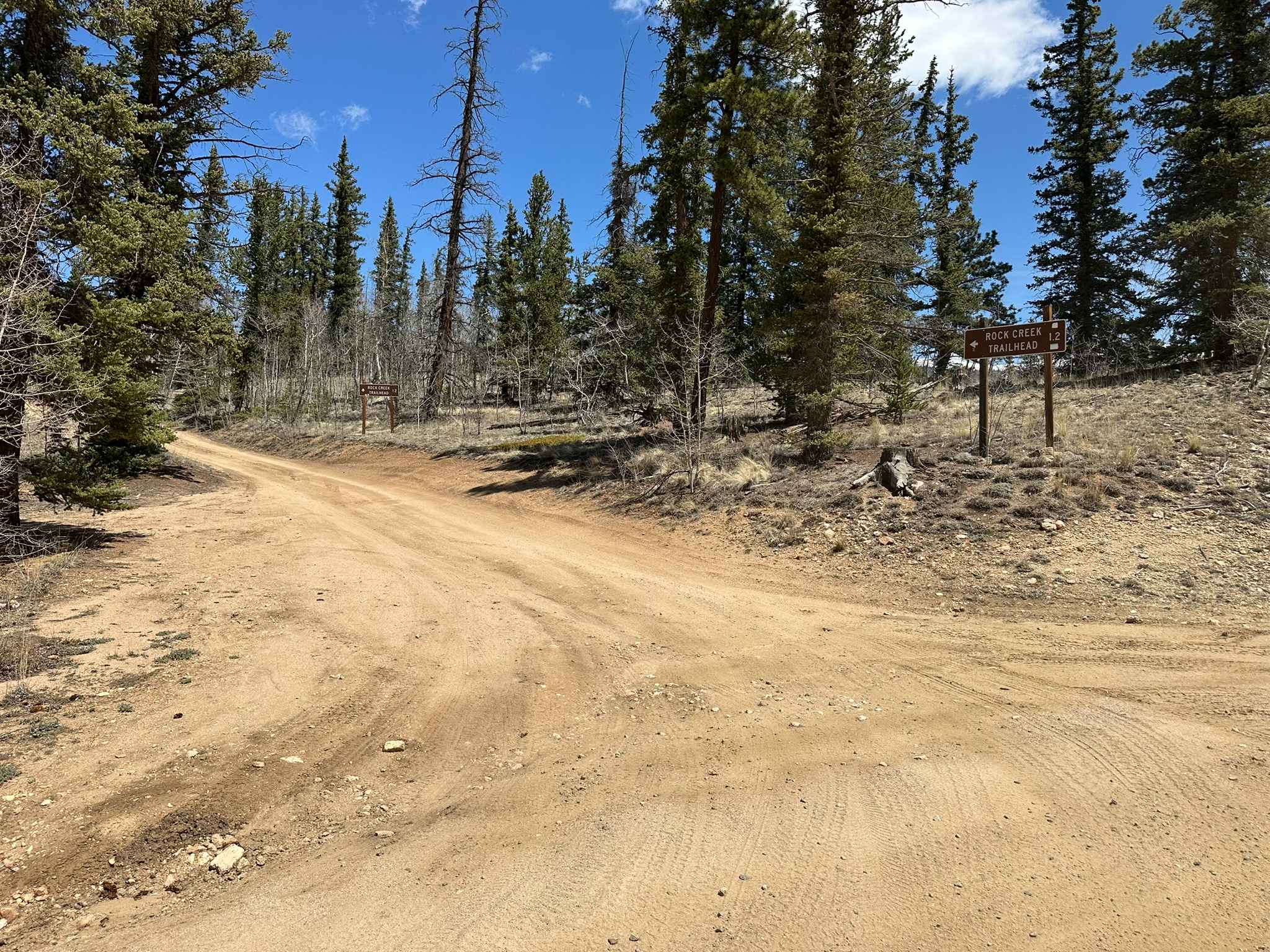
Rock Creek Road
The onX Offroad Difference
onX Offroad combines trail photos, descriptions, difficulty ratings, width restrictions, seasonality, and more in a user-friendly interface. Available on all devices, with offline access and full compatibility with CarPlay and Android Auto. Discover what you’re missing today!