Tomahawk State Wildlife Area East
Total Miles
4.4
Technical Rating
Best Time
Spring, Summer, Fall, Winter
Trail Type
Full-Width Road
Accessible By
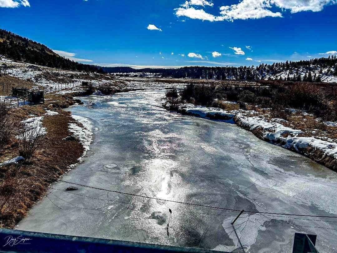
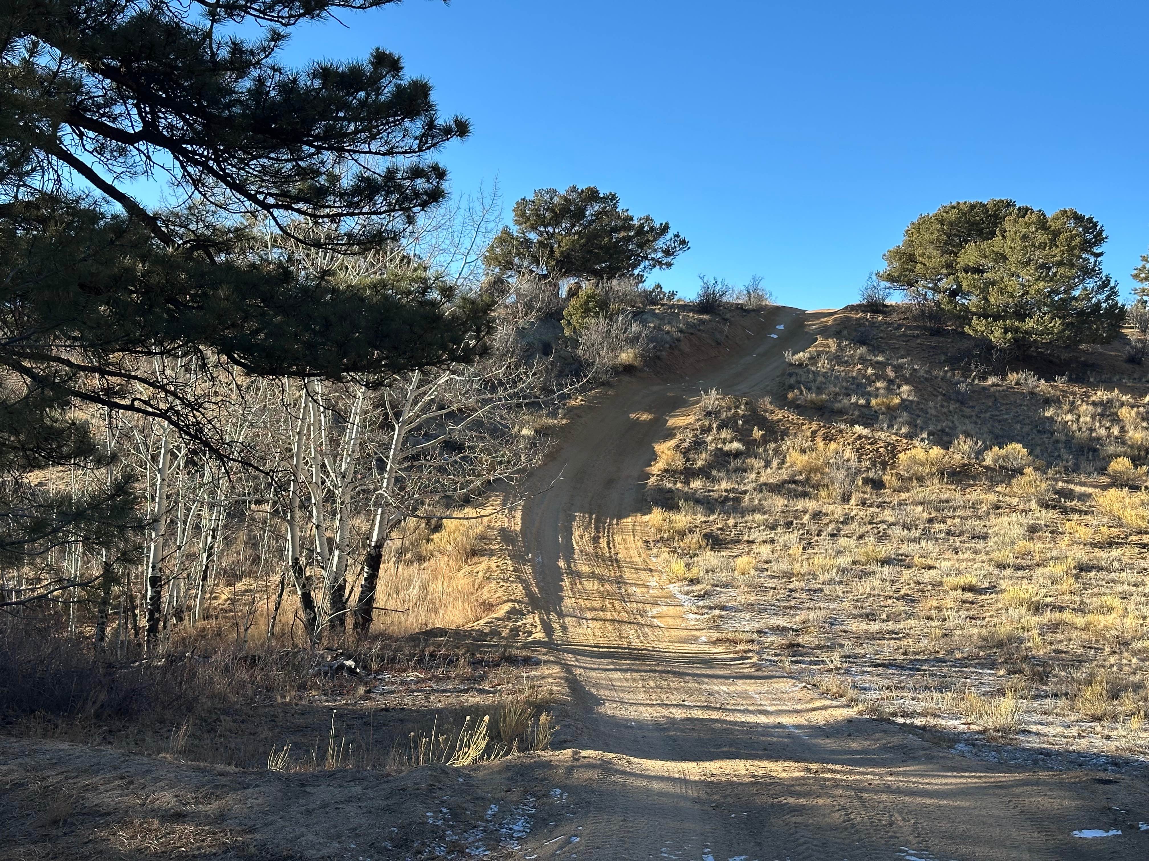
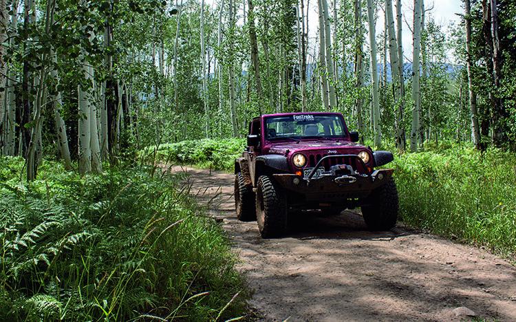
Trail Overview
The trail is easy when dry and can be muddy in places when wet; it travels along the middle fork of the South Platte River, which is open to the public for fishing. Even though the road looks like it continues to Hartsell, it is closed at the 4.4-mile point where it is Private Ranch Land at that point.
Photos of Tomahawk State Wildlife Area East

Difficulty
This trail is muddy when wet. 4 x 4 is required, other than the mud there aren't any difficult obstacles though.
Tomahawk State Wildlife Area East can be accessed by the following ride types:
- High-Clearance 4x4
- SUV
Tomahawk State Wildlife Area East Map
Popular Trails
Little Fourmile Road - FS 373
Middle Swan Road - FS 6.2
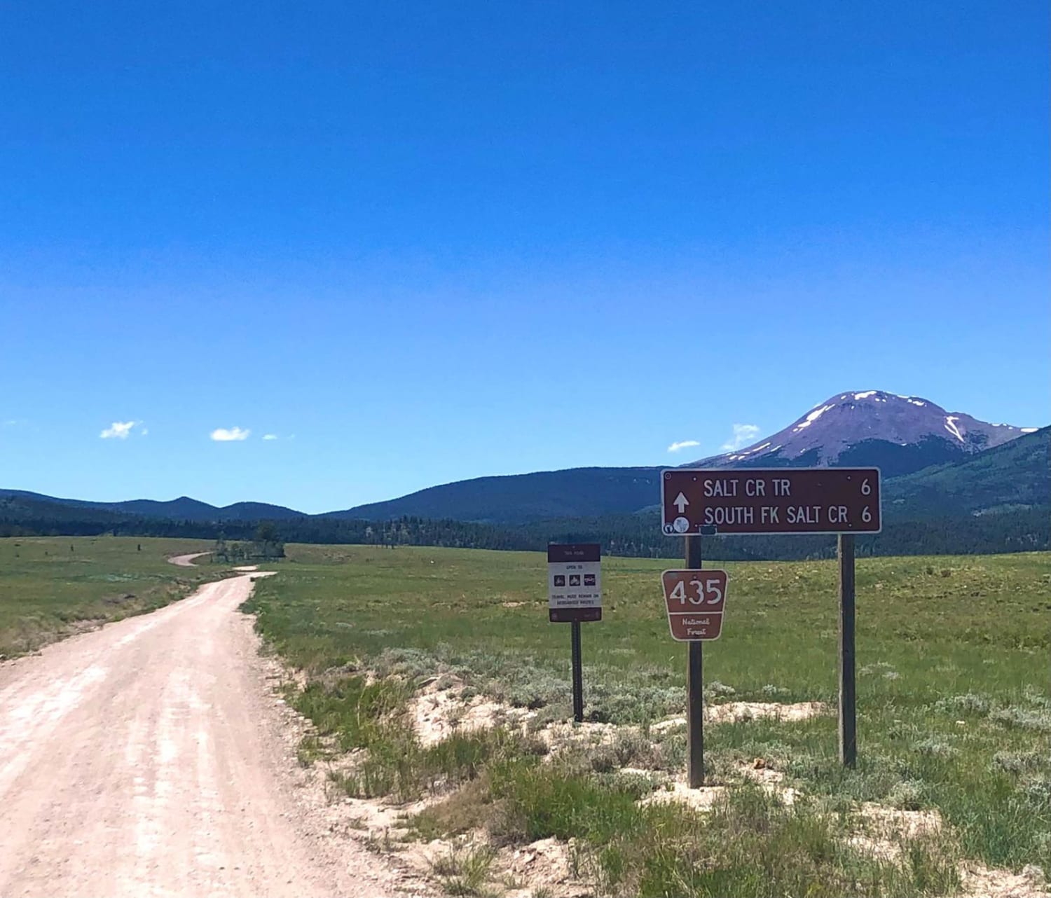
Salt Creek Road
The onX Offroad Difference
onX Offroad combines trail photos, descriptions, difficulty ratings, width restrictions, seasonality, and more in a user-friendly interface. Available on all devices, with offline access and full compatibility with CarPlay and Android Auto. Discover what you’re missing today!