The Ridge - Penrose Commons Recreation Area
Total Miles
0.8
Technical Rating
Best Time
Spring, Summer, Fall, Winter
Trail Type
Single Track
Accessible By
Trail Overview
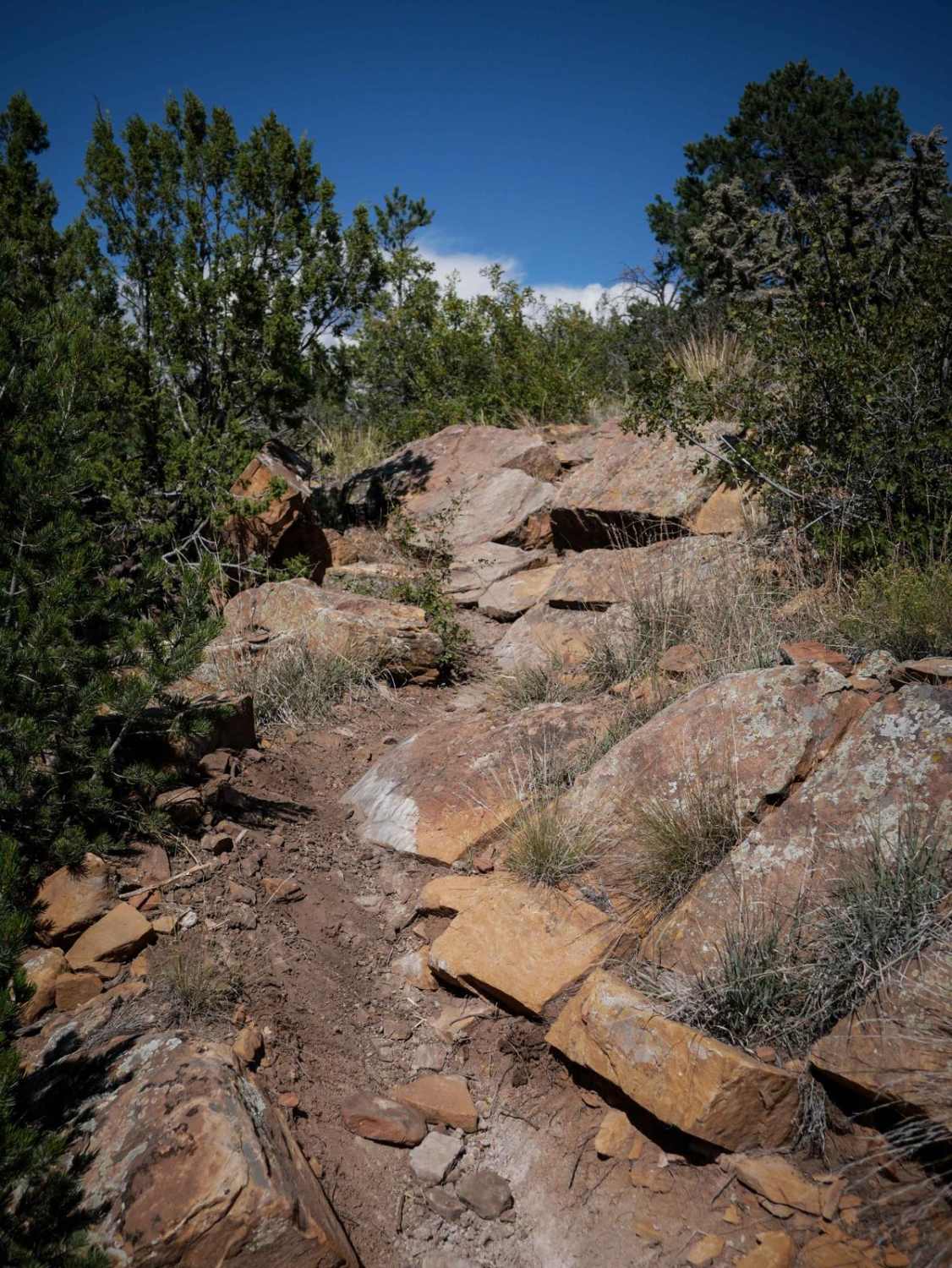
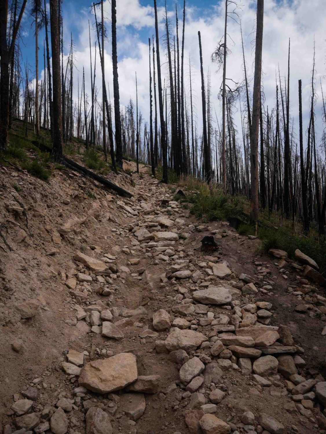
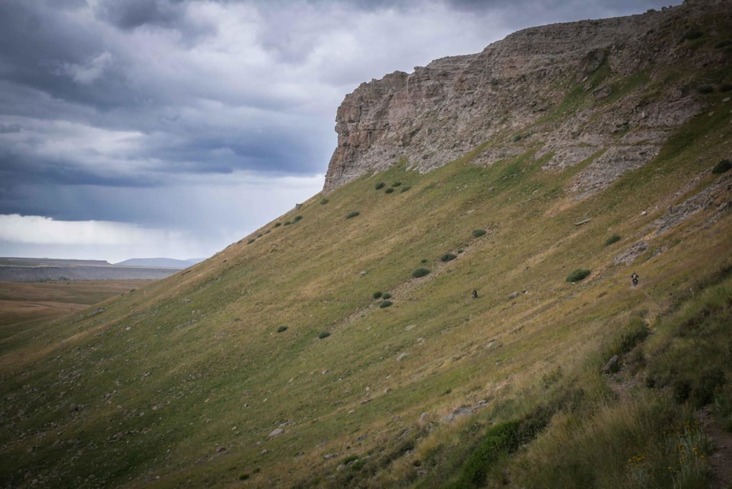
This is a new singletrack within the Penrose Commons Recreation Area. The south end starts out on top of a mesa, on a rocky trail that rides over a bunch of rock slab and rock ledges. It goes up some two-foot tall blunt rock ledges, similarly tall drop-offs, and curves around through the pinyon pine. Some of these obstacles require pretty big moves, as they are multiple step-ups in a row. You'll be going up most of the obstacles if you go south to north. It's a pretty short trail and ends on BLM Route 6101. This one is a bit easier than the other two new single tracks the Waterfall and Warmup.
Photos of The Ridge - Penrose Commons Recreation Area

Difficulty
This is an intermediate single track that has several more challenging rock obstacles such as rock ledges and drop-offs.
Status Reports
The Ridge - Penrose Commons Recreation Area can be accessed by the following ride types:
- Dirt Bike
The Ridge - Penrose Commons Recreation Area Map
Popular Trails
Willow Pass Trail
Dinosaur Flats Roads 5935B
La Garita Stock Driveway Trail
The onX Offroad Difference
onX Offroad combines trail photos, descriptions, difficulty ratings, width restrictions, seasonality, and more in a user-friendly interface. Available on all devices, with offline access and full compatibility with CarPlay and Android Auto. Discover what you’re missing today!