Santa Fe Peak
Total Miles
4.7
Technical Rating
Best Time
Summer, Fall
Trail Type
Full-Width Road
Accessible By
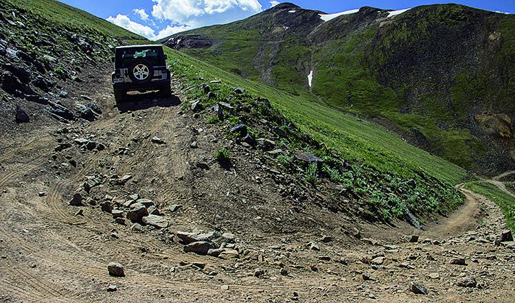
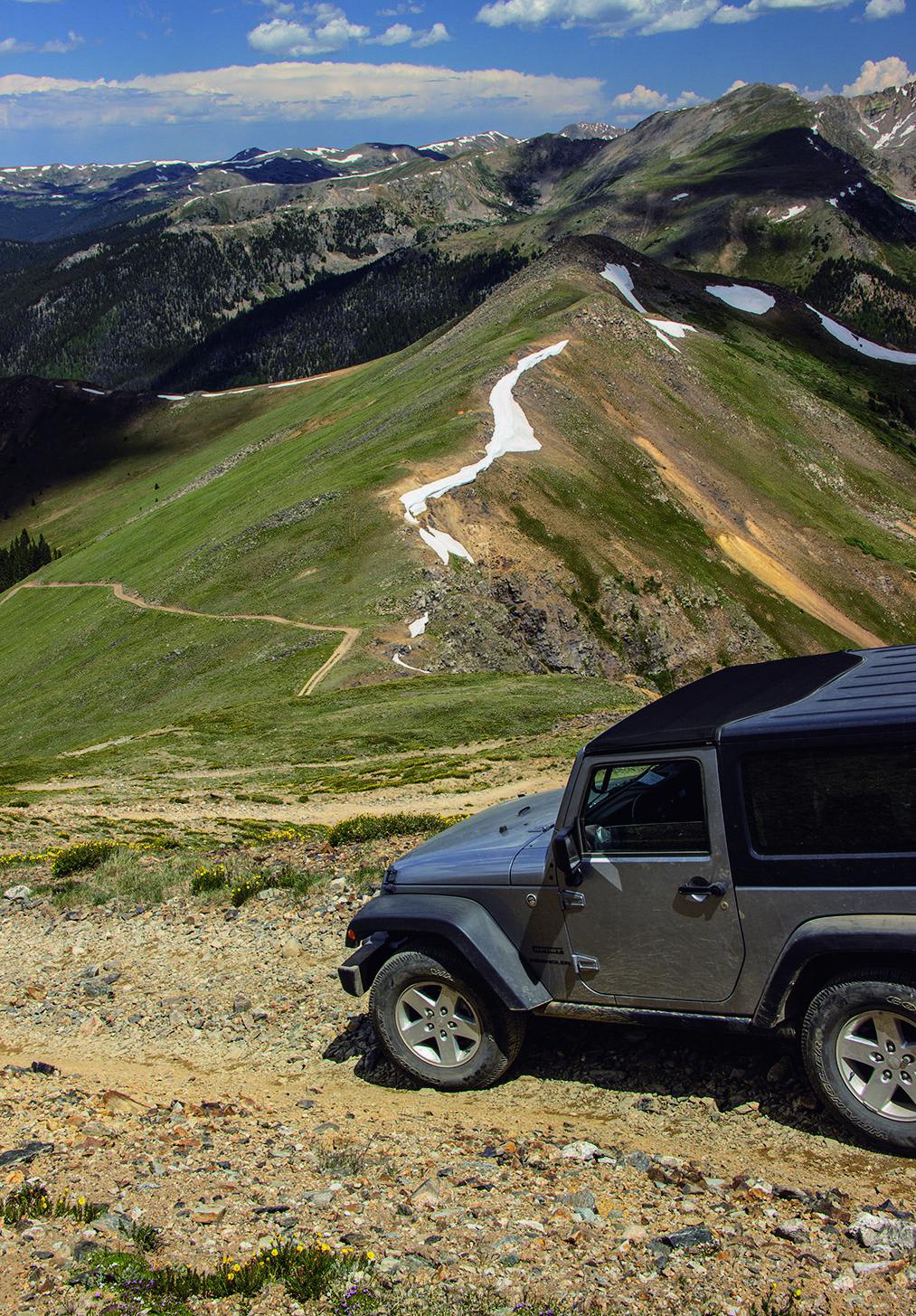
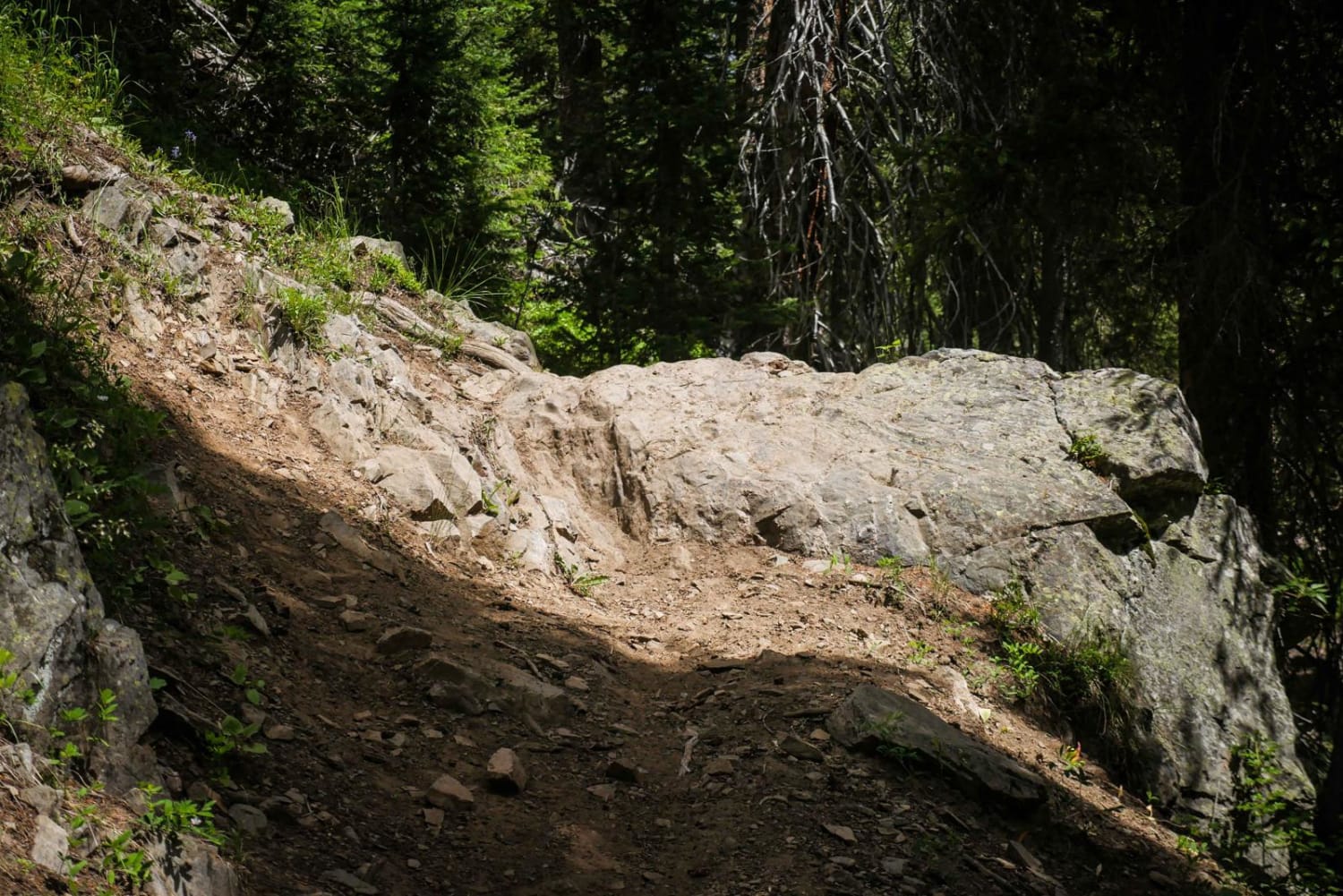
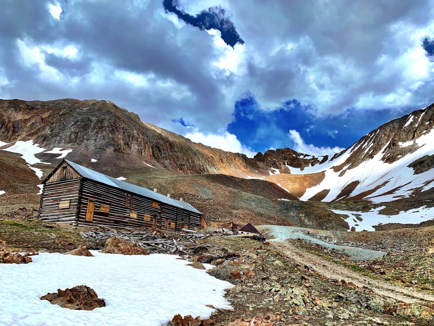
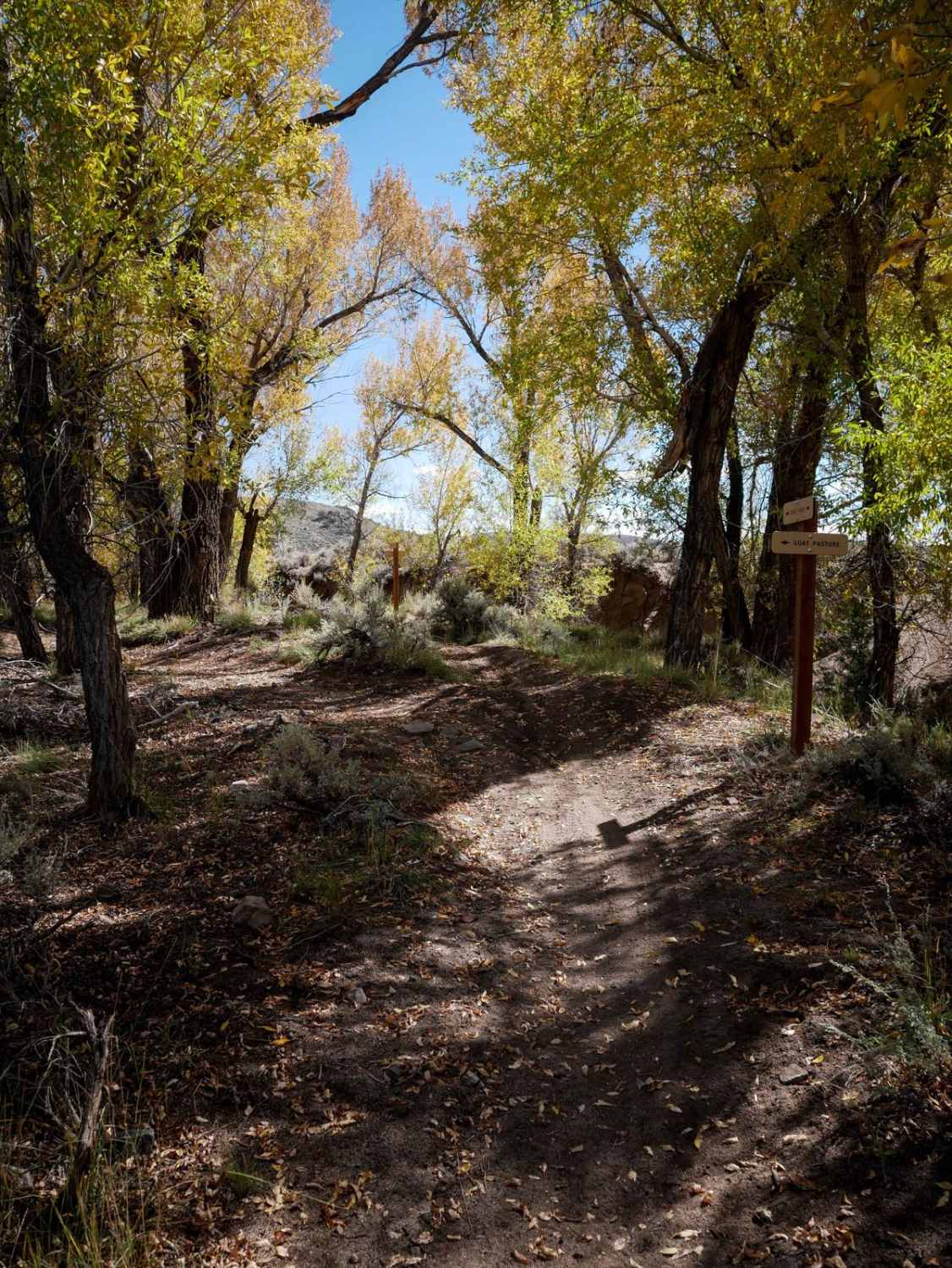
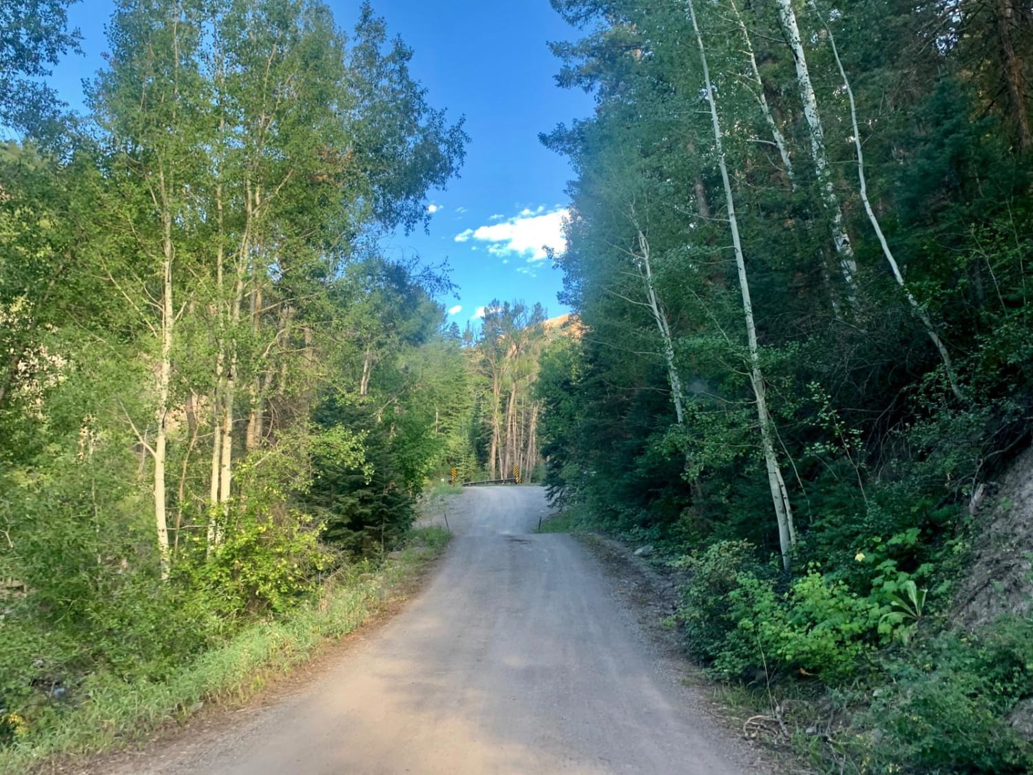
Trail Overview
A fantastic 360 degree view is the reward at the top of this fun trail. You can see Breckenridge, Grays Peak, Peru Creek, Webster Pass and Radical hill from here. Unlicensed vehicles are not permitted. Closed from November 23 to May 20.
Photos of Santa Fe Peak
Difficulty
Moderate: This trail is very steep, narrow and quite rocky in spots. We don't rate it difficult, but it comes very close. Not recommended for novice drivers or anyone afraid of high narrow shelf roads.
Status Reports
Santa Fe Peak can be accessed by the following ride types:
- High-Clearance 4x4
- SUV
Santa Fe Peak Map
Popular Trails
Golconda Mining Complex
Cty Rd 14. - Dexter Creek Rd
The onX Offroad Difference
onX Offroad combines trail photos, descriptions, difficulty ratings, width restrictions, seasonality, and more in a user-friendly interface. Available on all devices, with offline access and full compatibility with CarPlay and Android Auto. Discover what you’re missing today!