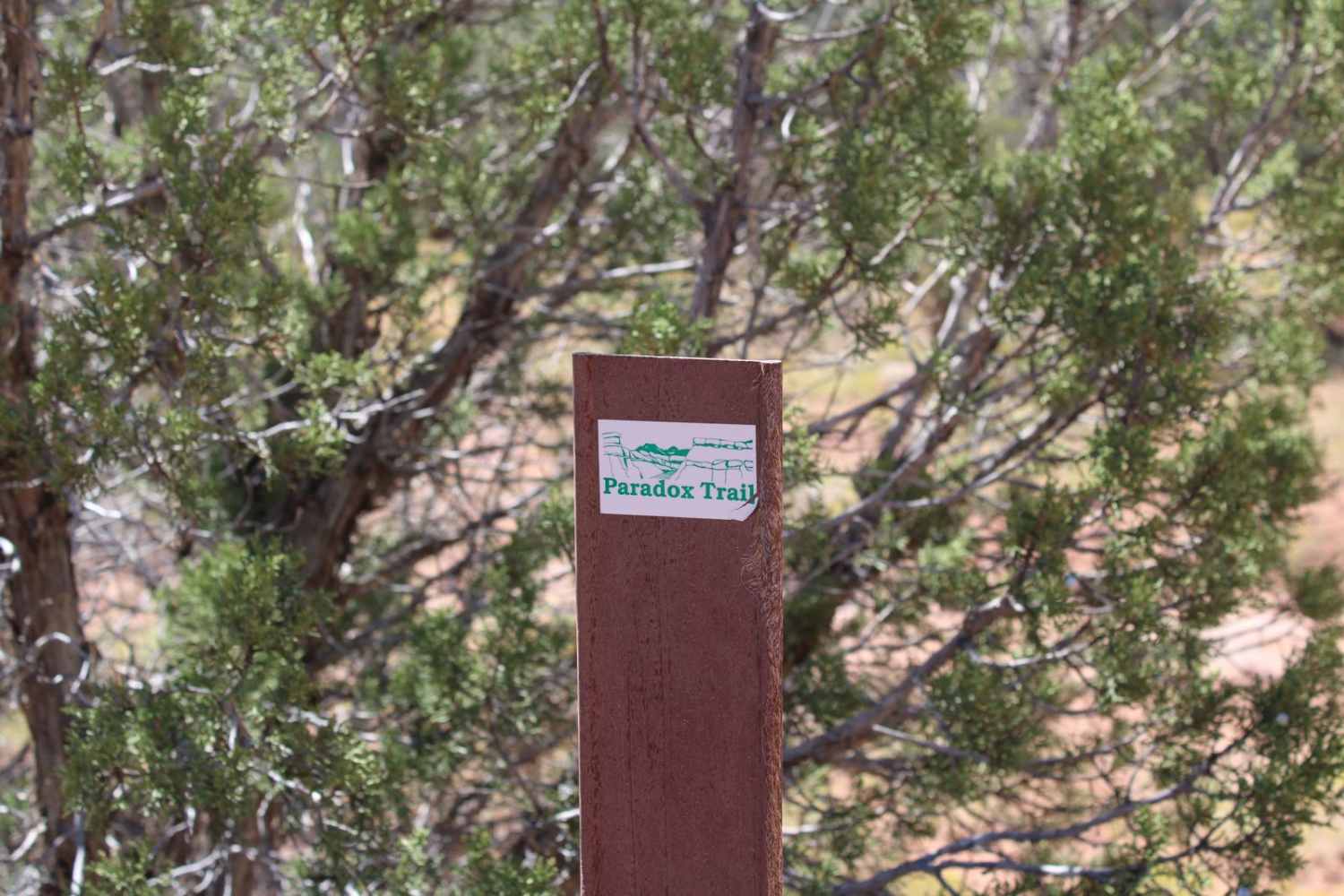
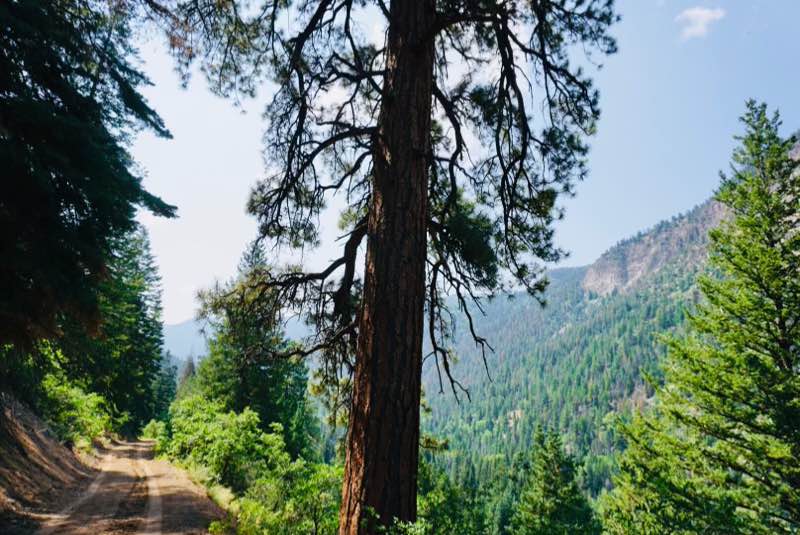
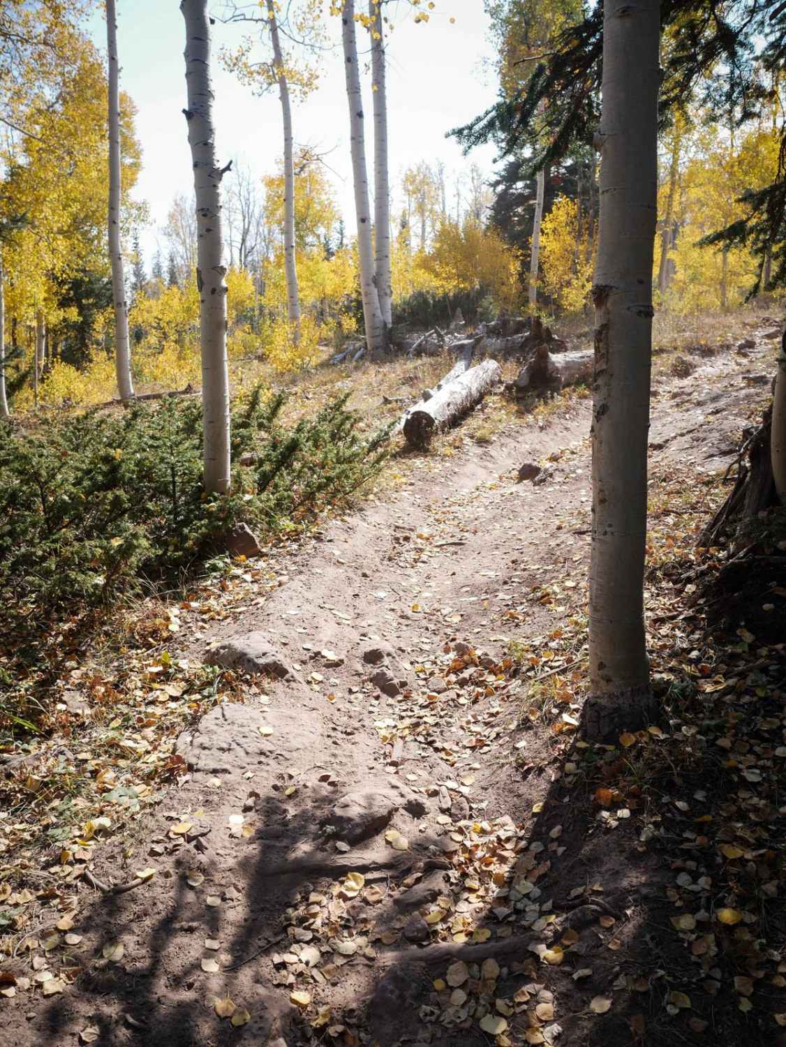
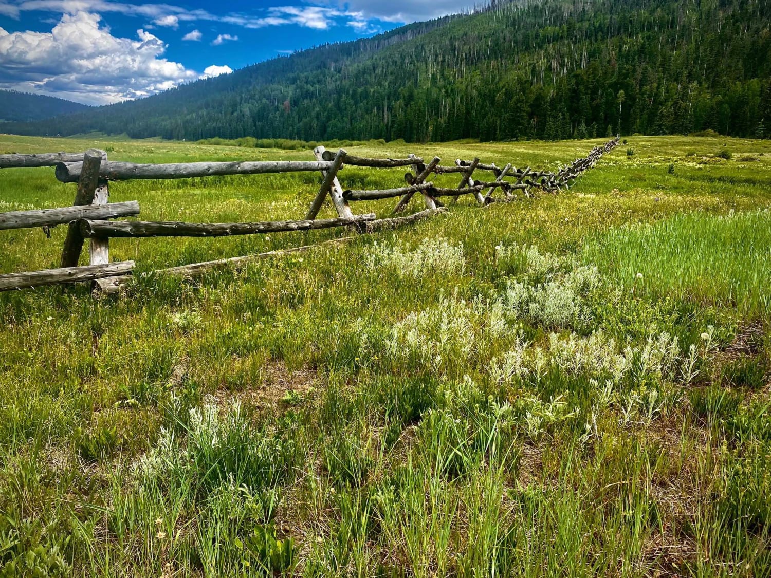
Red Canyon Paradox Trail
Total Miles
7.7
Technical Rating
Best Time
Spring, Fall, Summer
Trail Type
Full-Width Road
Accessible By
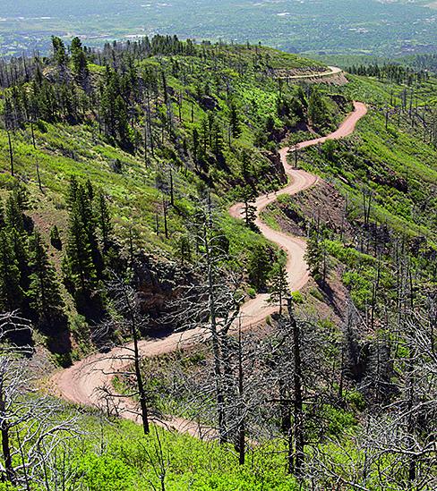
Trail Overview
This is a shorter, challenging piece of the longer Paradox Trail in Southwest Colorado. It is also an alternate loop off of the Rimrocker Trail for those who want to venture into the Red Canyon in the Paradox area. Both ends of this trail initially start as easy dirt roads, but soon change to two-track routes through increasingly more deteriorated and rugged terrain where you will encounter rocky stretches, short ledges, washes, cliff overhangs, and frequent tight passages through trees and scrub brush. The trail becomes especially difficult at Rock Quarry Hill, which consists of a steep 0.75-mile stretch of loose rock and boulders. Unless you have high clearance and front & rear lockers, this trail is best run from west to east as Rock Quarry Hill can be very difficult to ascend. It is advised to scout this section by foot first before attempting in either direction as new boulders may have inserted themselves into the main path of the trail from the adjacent cliffside. Narrow vehicles are also recommended because the trail runs close along the canyon rim in several sections with little room to maneuver side to side on the trail. There are some great views of Red Canyon, though, which make this trail worth visiting. Monitor weather reports before attempting this trail, as wet conditions would make sections of this trail much more treacherous. For those who complete this trail, you will acknowledge that Paradox is the perfect name for this trail and the surrounding area as things change quickly and become something you weren't expecting.
Photos of Red Canyon Paradox Trail

Difficulty
The trail has a variety of surfaces and obstacles including wash crossings, slickrock ledges, rocky hills, narrow cliffside passages, tight clearances through trees and scrub brush, and an especially difficult and steep hill comprised of loose rocks and boulders.
History
The terrain of Western Montrose County is laced with massive cliffs, deep drainages, and dry arroyos plus views of the La Sal Mountains to the west and the San Juans to the southeast. Years of mineral exploration and ranching have created hundreds of miles of roads and trails on one the largest tracts of publicly controlled lands in Colorado. The Paradox Trail was established in 1995 as a collaborative effort between COPMOBA, Montrose West Recreation, the BLM, and USFS for mountain bike and off-road vehicle uses. More information on the full Paradox Trail can be found at the following websites: https://www.mtbproject.com/trail/7000957/paradox-trail and https://adventr.co/4x4-trails/paradox-4x4-trail/
Status Reports
Red Canyon Paradox Trail can be accessed by the following ride types:
- High-Clearance 4x4
- SUV
- SxS (60")
- ATV (50")
- Dirt Bike
Red Canyon Paradox Trail Map
Popular Trails
Piedra Road-Fr Rd 631
Mt. Herman & Rampart Range Roads
The onX Offroad Difference
onX Offroad combines trail photos, descriptions, difficulty ratings, width restrictions, seasonality, and more in a user-friendly interface. Available on all devices, with offline access and full compatibility with CarPlay and Android Auto. Discover what you’re missing today!