Pains Mountain Road
Total Miles
2.7
Technical Rating
Best Time
Fall, Summer
Trail Type
Full-Width Road
Accessible By
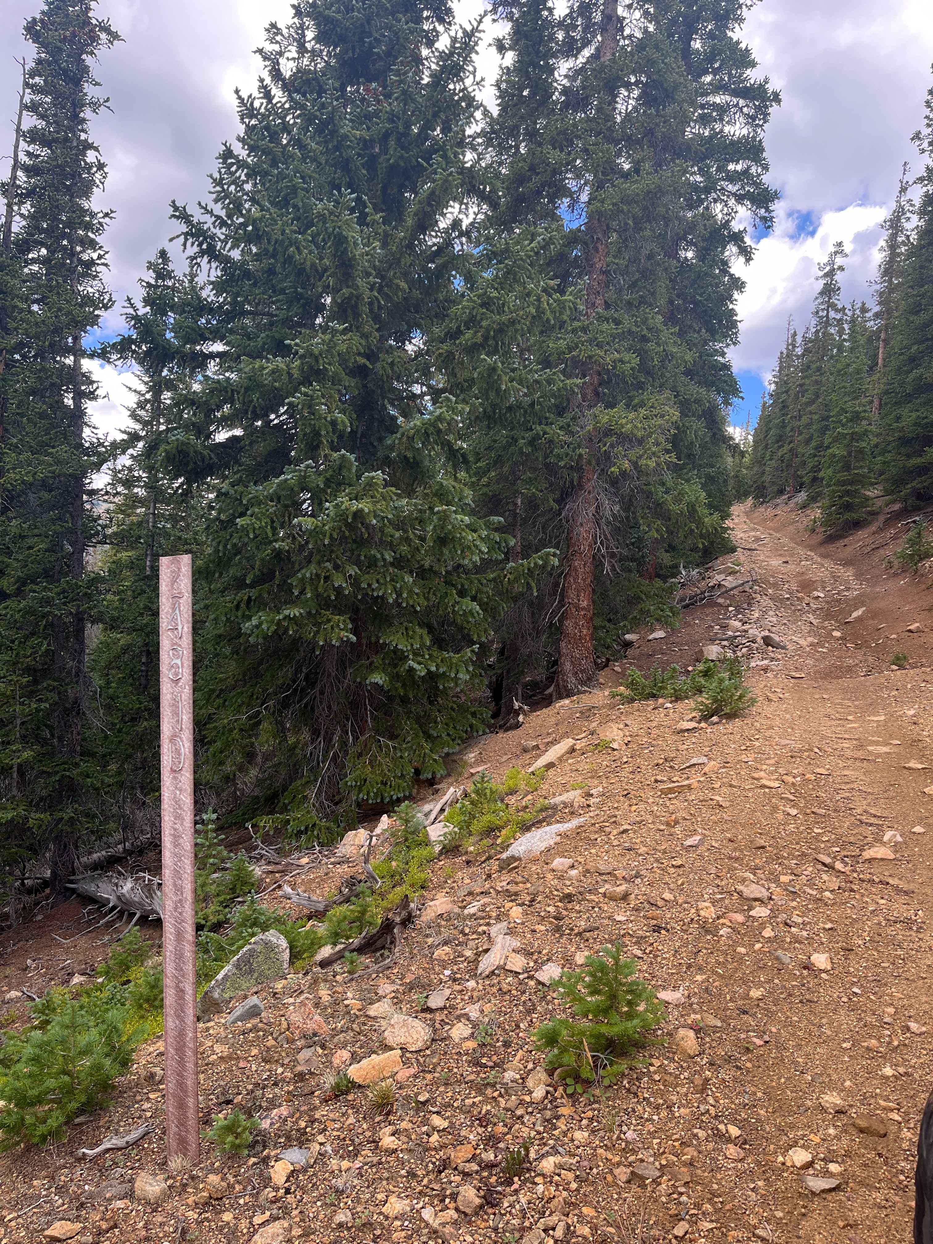
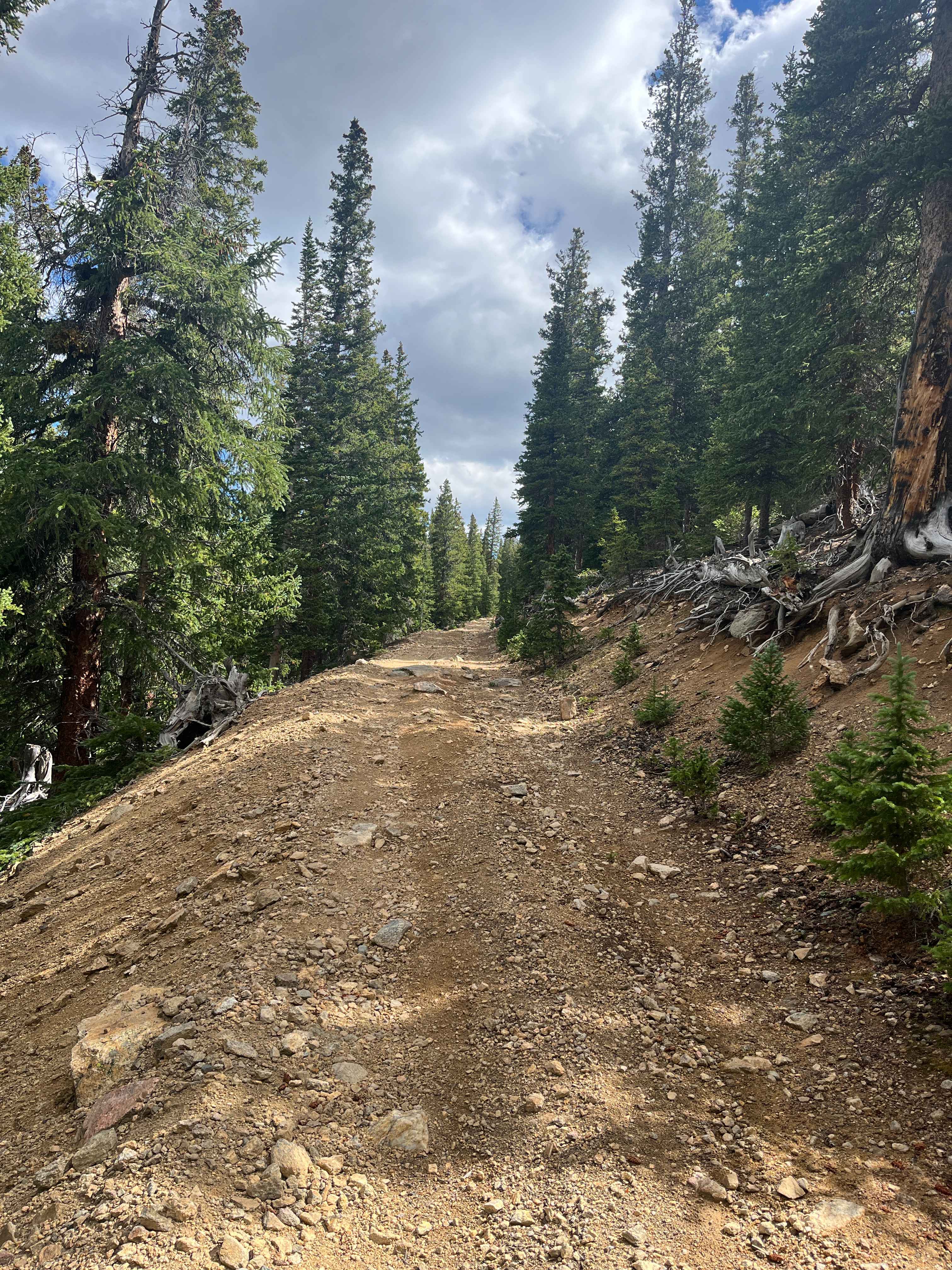
Trail Overview
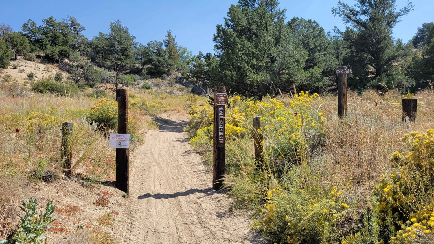
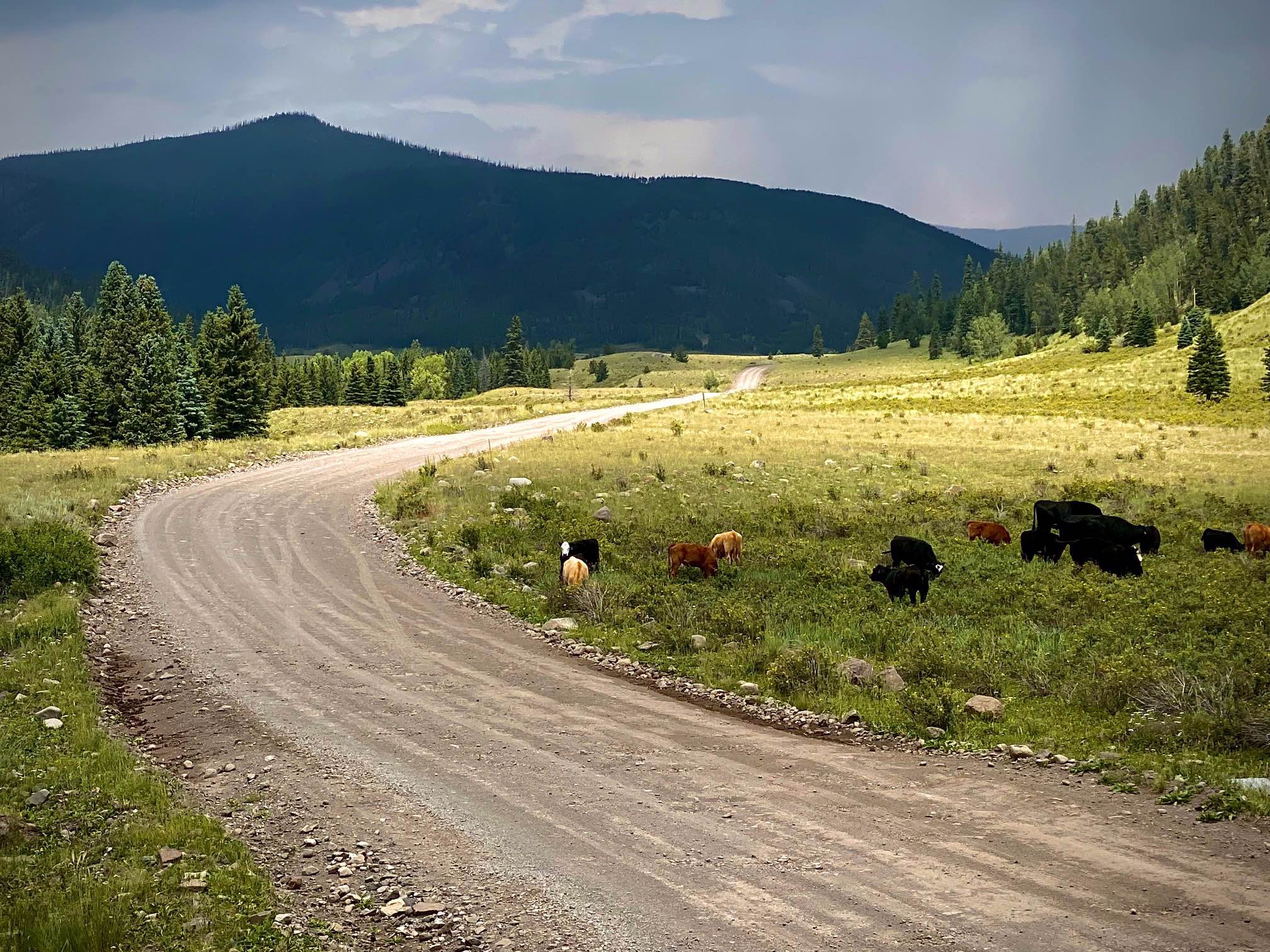
This is a spur of a spur off the popular Argentine Pass trail. This route points you back towards the mouth of the valley. Easy driving and open at the beginning. The trail then loses elevation through narrow switchbacks. The end of this route is as far as you can drive in an SUV or a SxS, as the trail has become overgrown and only allows for mountain/dirt bike or foot traffic to the historical end. The last 200 yards are tight and off-camber and offer no place to turn around. Proceed with caution. There are multiple mine remnants. Make sure to adhere to closed road signs.
Photos of Pains Mountain Road
Difficulty
The bottom half of the trail is tight with no places to pass or turn around.
Status Reports
Pains Mountain Road can be accessed by the following ride types:
- High-Clearance 4x4
- SUV
- SxS (60")
- ATV (50")
- Dirt Bike
Pains Mountain Road Map
Popular Trails
Little Gravel Mountain
Rock N' Roll 1 (1434 A)
Alamosa Conjeos-Fr Rd 250
The onX Offroad Difference
onX Offroad combines trail photos, descriptions, difficulty ratings, width restrictions, seasonality, and more in a user-friendly interface. Available on all devices, with offline access and full compatibility with CarPlay and Android Auto. Discover what you’re missing today!