Mt. Lincoln Road
Total Miles
3.3
Technical Rating
Best Time
Summer, Fall
Trail Type
Full-Width Road
Accessible By
Trail Overview
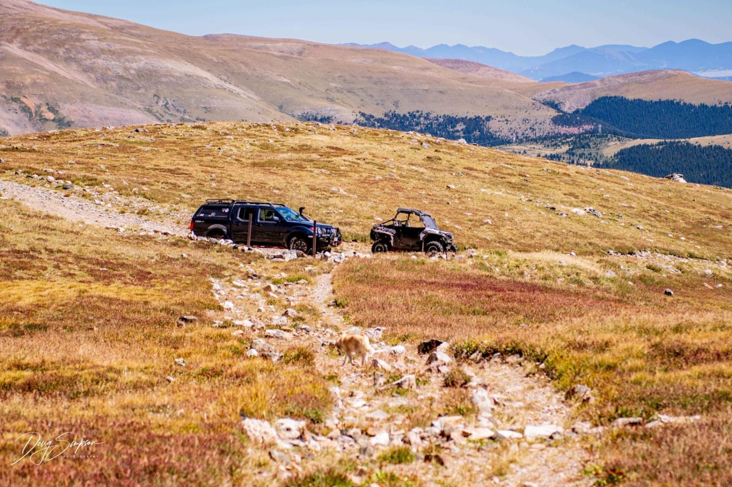
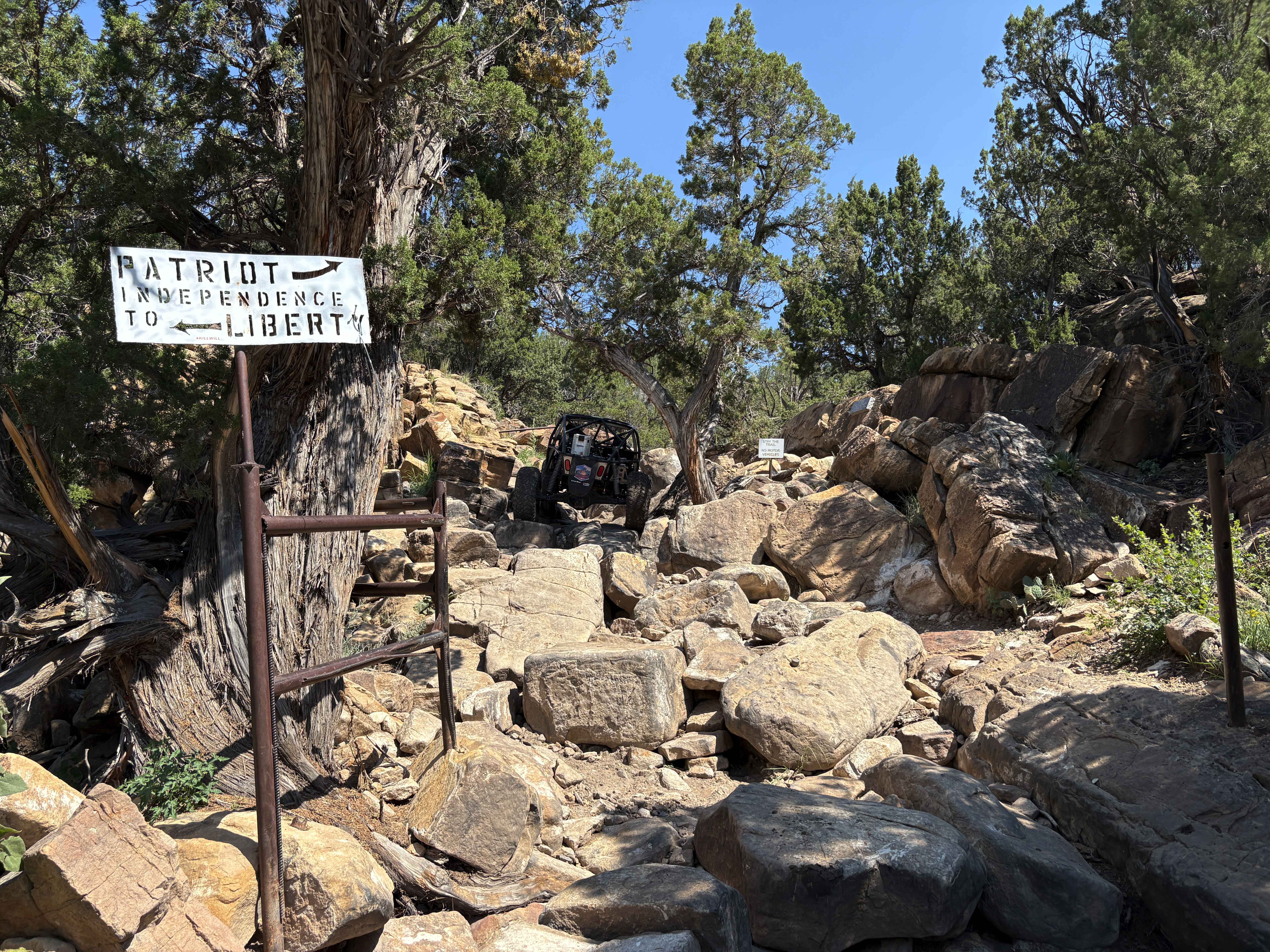
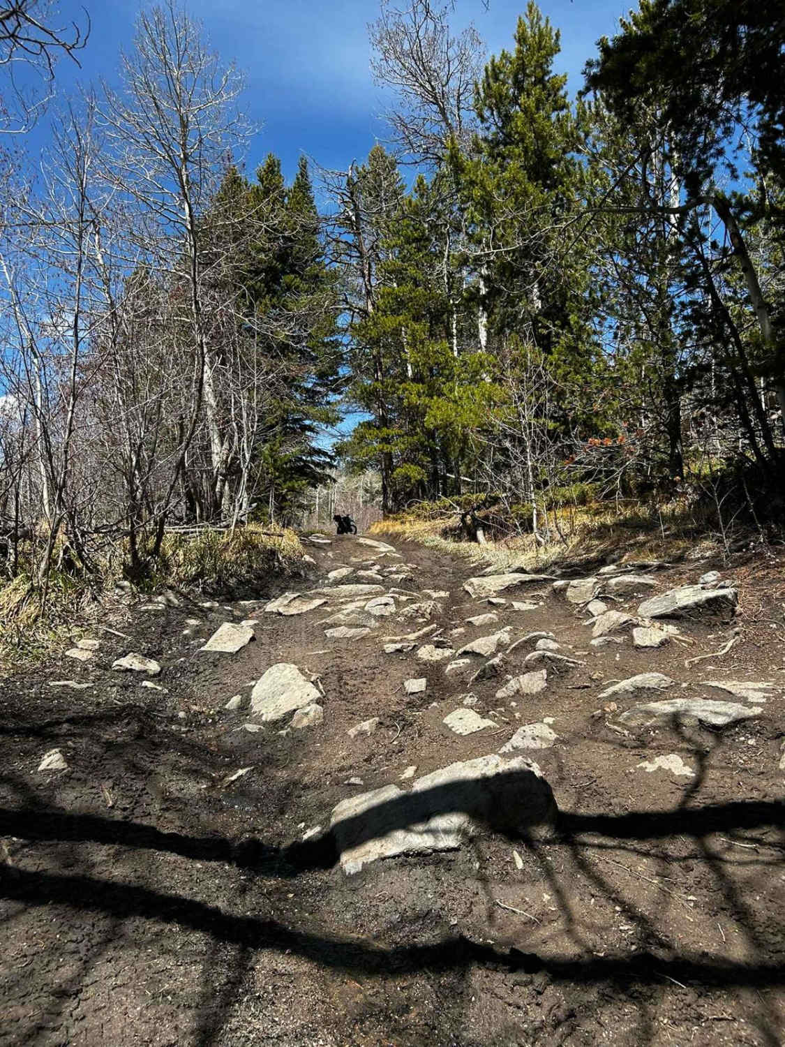
The start of the trail is through private land. Once you come out of private land, about 0.5 miles, there is a rutted section then a rock obstacle. After that, the trail steadily climbs towards the top, with a lot of loose rock. About 0.25 miles from the top, the road turns into a shelf road, and at the end of the road, there is a locked gate. There is not much room to turn around at the gate.
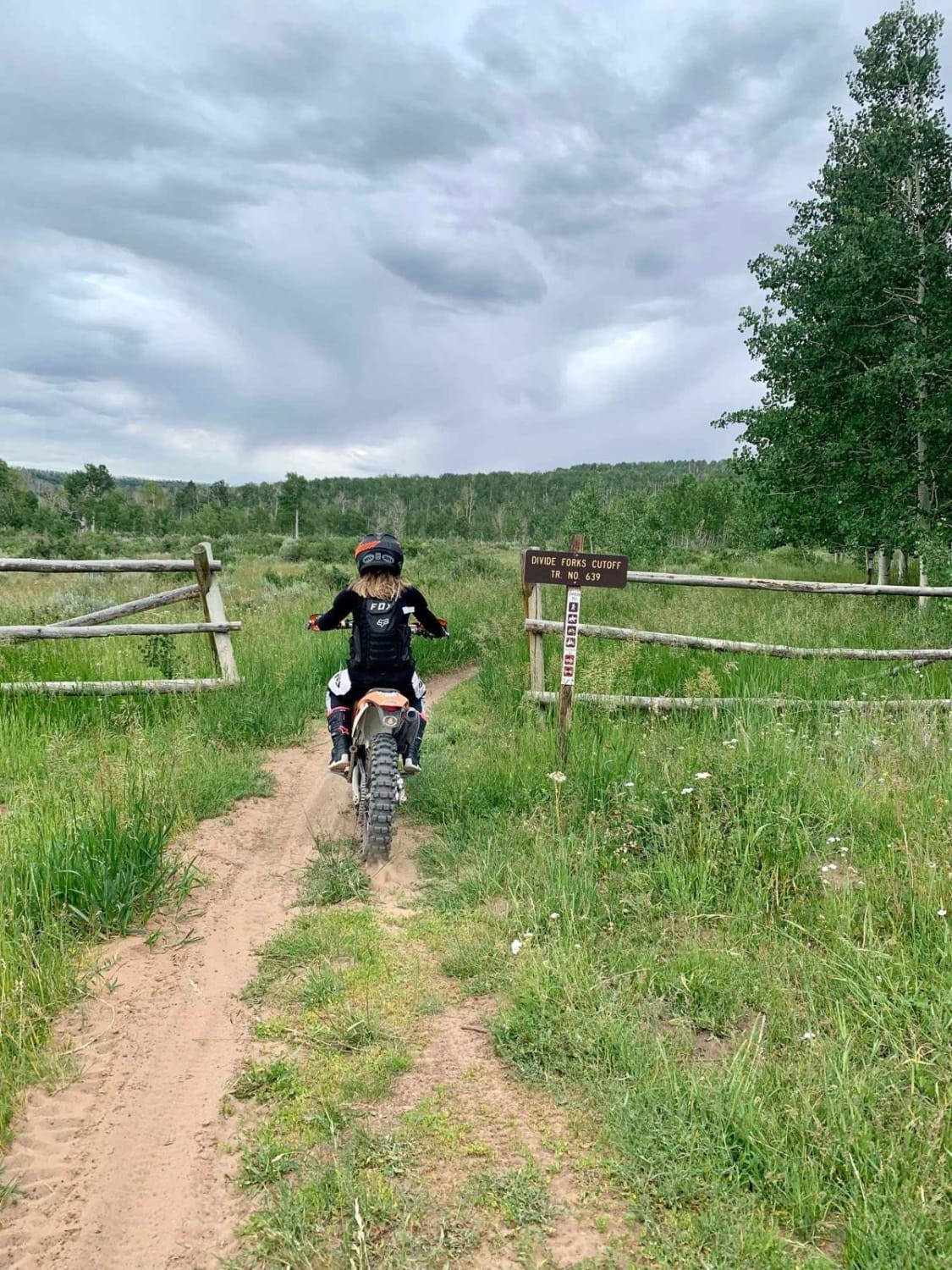
Photos of Mt. Lincoln Road
Difficulty
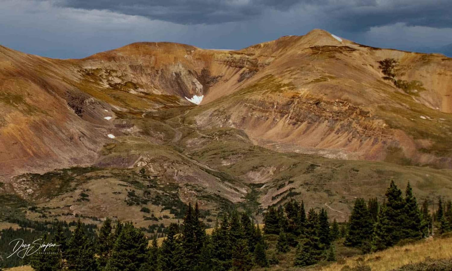
At tree line (12,000'), the road has a lot of loose rock and some steep climbs.
History
This road was built for mining.
Status Reports
Mt. Lincoln Road can be accessed by the following ride types:
- High-Clearance 4x4
- SUV
- SxS (60")
- ATV (50")
- Dirt Bike
Mt. Lincoln Road Map
Popular Trails
Pratt Creek Cutoff North
Divide Cut-off

Middle Mountain
The onX Offroad Difference
onX Offroad combines trail photos, descriptions, difficulty ratings, width restrictions, seasonality, and more in a user-friendly interface. Available on all devices, with offline access and full compatibility with CarPlay and Android Auto. Discover what you’re missing today!