Farris Creek Bypass
Total Miles
3.1
Technical Rating
Best Time
Fall, Summer
Trail Type
Single Track
Accessible By
Trail Overview
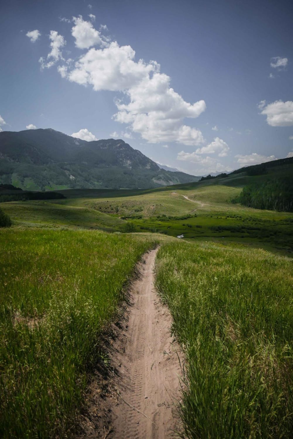
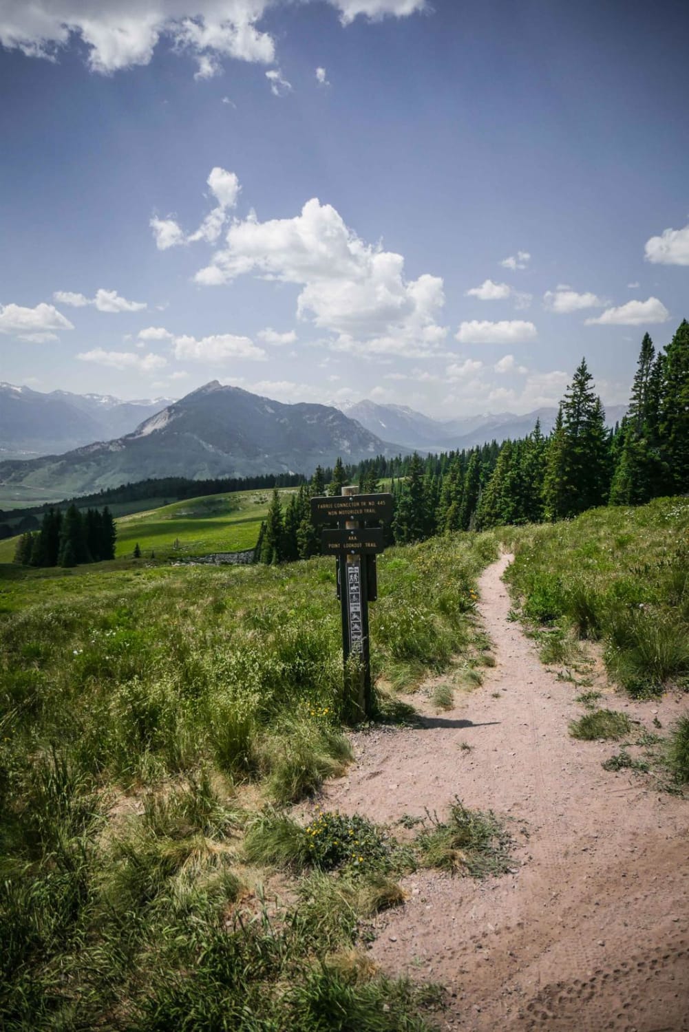
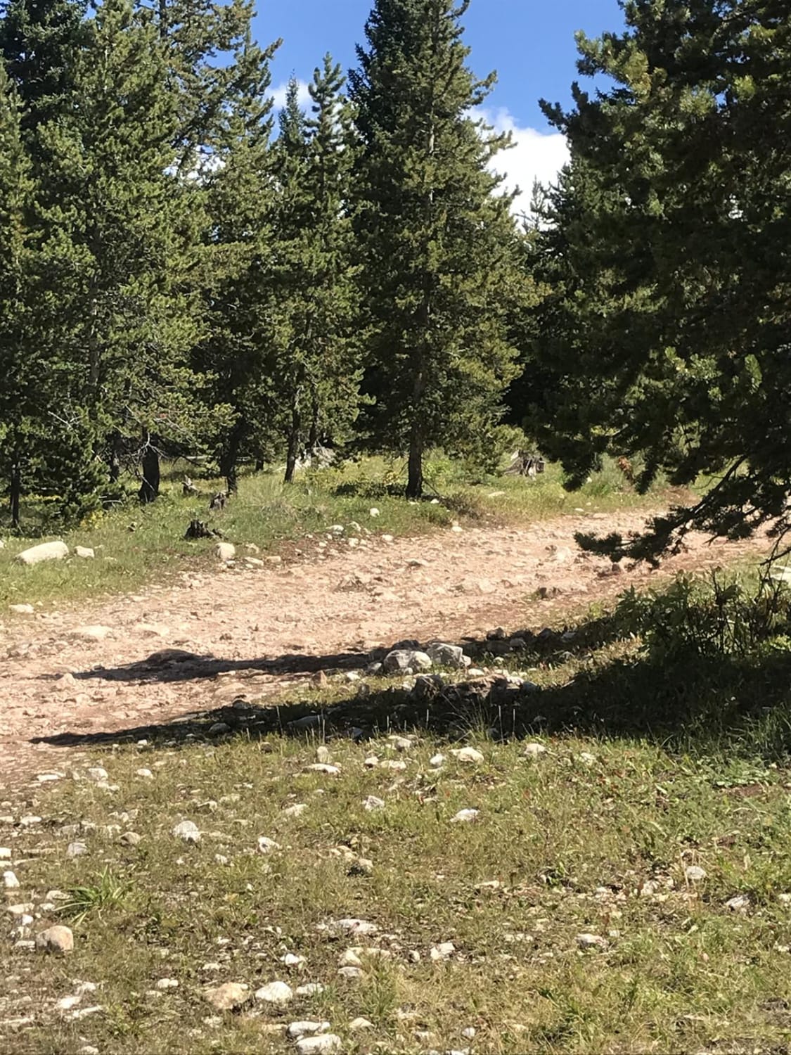
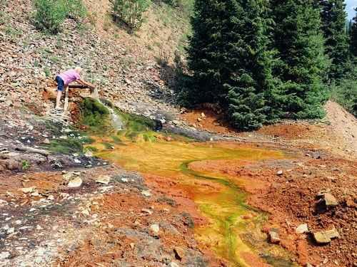
This is a fun 3-mile single track that loses 1,700 feet from the south end of Double Top Trail, all the way to Farris Road. As you ride south to north, it starts at the top of a saddle at the intersection with Double Top on a smooth trail, then it drops down towards the town of Crested Butte and has some rockier sections as you lose elevation. You get killer views the whole time of Mount Crested Butte. A lot of this trail is smooth sailing, fast and flowy through meadows and pine trees, making it an easier trail. It is narrow in the beginning on the ridgeline but gets wider as you ride through the meadows lower down. This one is dusty with not a lot of shade but has epic wildflowers in the summer. Some of the intermediate challenges on this trail include a few tricky roots across the trail, deep ruts, multiple braided lines, and rock sections, but overall it isn't too difficult. It dumps into a big meadow at the north end with a little creek and an incredible view.
Photos of Farris Creek Bypass
Difficulty
This is an intermediate trail with roots, ruts, and loose rock consistently throughout the trail.
Status Reports
Farris Creek Bypass can be accessed by the following ride types:
- Dirt Bike
Farris Creek Bypass Map
Popular Trails
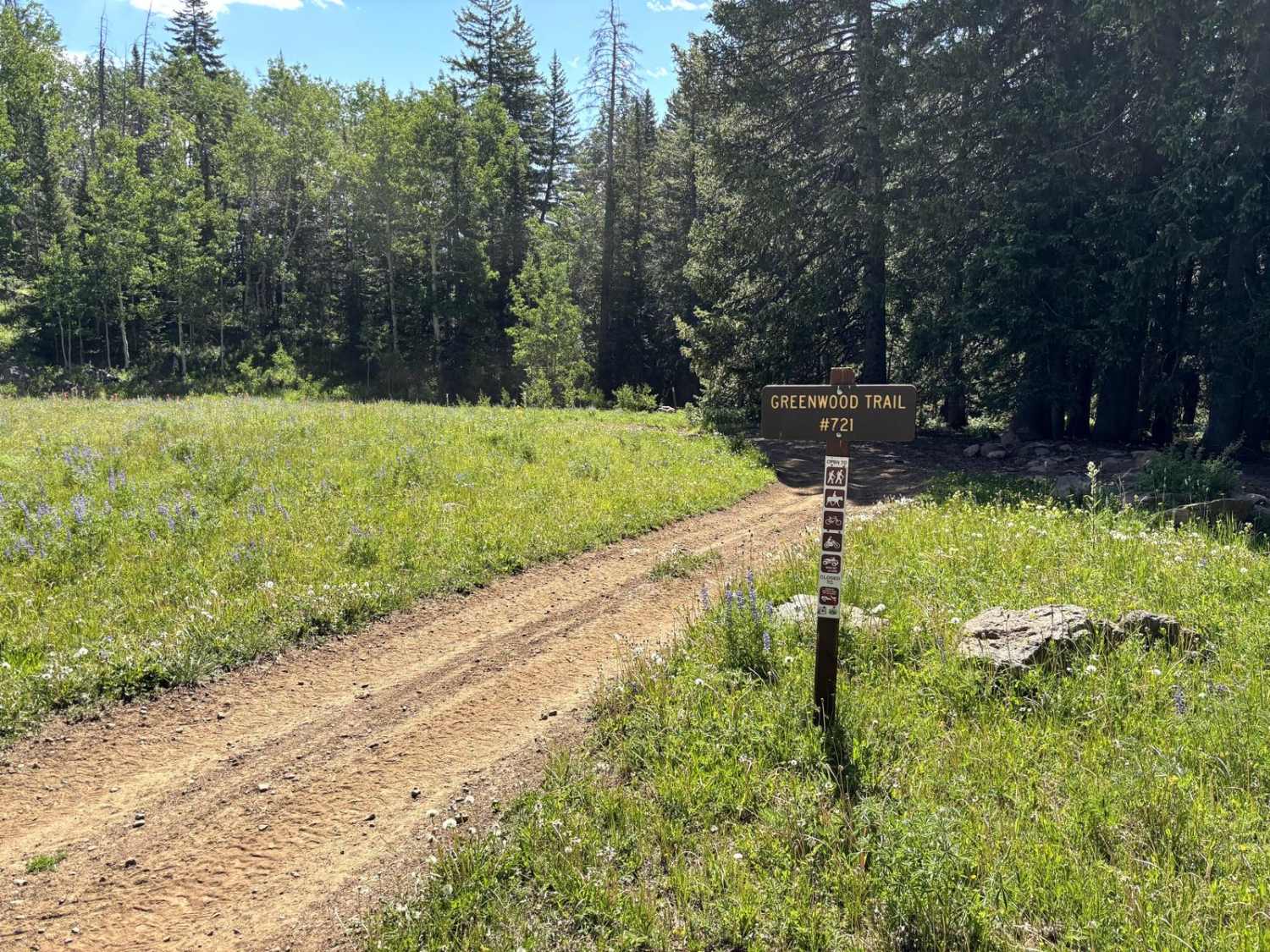
Greenwood Trail
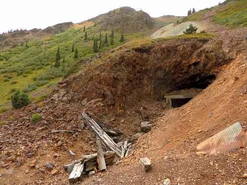
Prospect Gulch
The onX Offroad Difference
onX Offroad combines trail photos, descriptions, difficulty ratings, width restrictions, seasonality, and more in a user-friendly interface. Available on all devices, with offline access and full compatibility with CarPlay and Android Auto. Discover what you’re missing today!