Elkhorn Trail South
Total Miles
6.4
Technical Rating
Best Time
Summer, Fall
Trail Type
50" Trail
Accessible By
Trail Overview
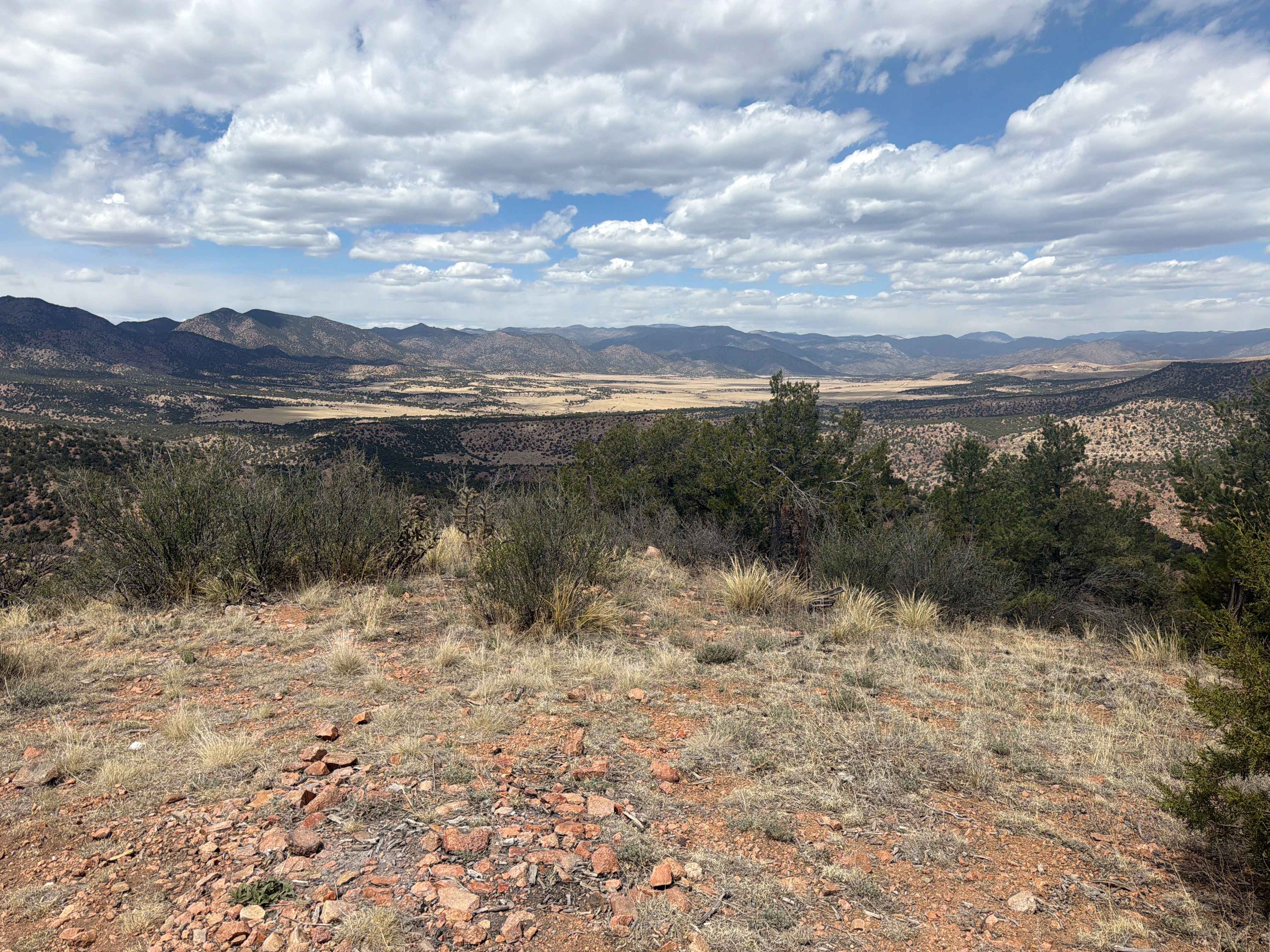
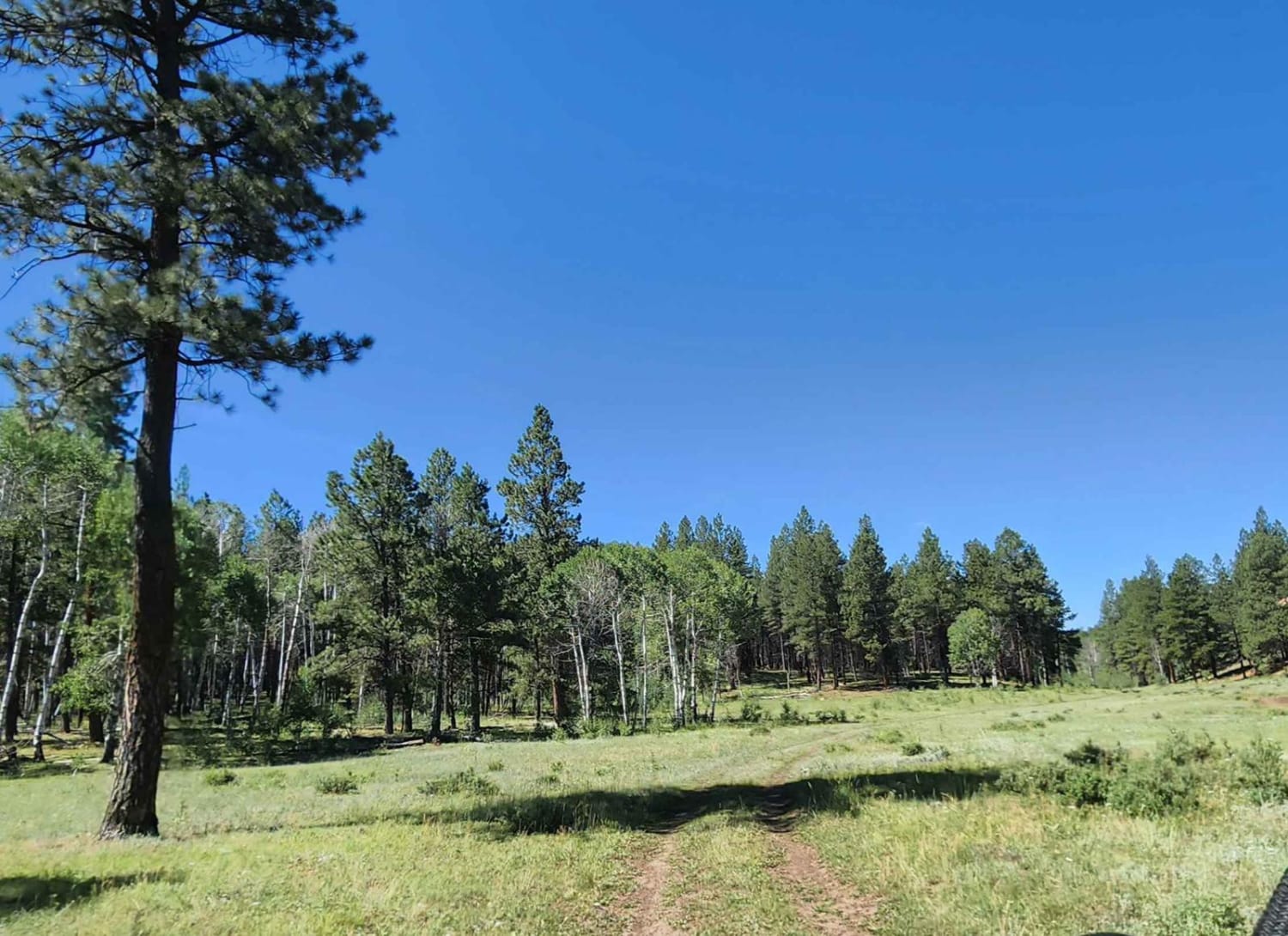
Elkhorn Trail South is a moderately easy ATV trail that winds for several miles through Routt National Forest, offering a mix of flowy and rocky terrain. The eastern end begins in a meadow with a bridge crossing over a swampy grassy section, departing directly from a main camping area in Little Red Park, which makes it a frequently used route and a convenient trail access point. The two-track alternates between smooth, fast sections and rockier stretches with loose cobble and medium-sized embedded boulders, but presents no major obstacles or ledges. The trail meanders through shaded forest and sunny meadows, with curvy tight turns and scenic aspen groves along the way. It crosses a few dirt roads, but is well-signed and easy to navigate. Midway through, it intersects with the Independence Creek single track before continuing north. After 5.3 miles, the main portion of the trail ends at the Circle Bar Basin Trailhead, but you can take about 0.8 miles of dirt road (Cir Bar Basin Road and Independence Road) to connect to another small segment of trail that parallels Independence Road, which is a small climb. The final north end of the trail pops out at the intersection with Driveway Road. From here, you can take about 3 miles of Driveway Road to connect to Elkhorn Trail North. This trail is closed seasonally from 12/2 to 6/14.
Photos of Elkhorn Trail South


Difficulty
Overall, it's an easy trail due to its moderate terrain and lack of technical features, despite some rocky sections. Smooth meadows, clear signage, and a manageable grade help maintain the lower difficulty level.
Status Reports
Elkhorn Trail South can be accessed by the following ride types:
- ATV (50")
- Dirt Bike
Elkhorn Trail South Map
Popular Trails

Ellis Jeep Trail
Beaver Point Road

The onX Offroad Difference
onX Offroad combines trail photos, descriptions, difficulty ratings, width restrictions, seasonality, and more in a user-friendly interface. Available on all devices, with offline access and full compatibility with CarPlay and Android Auto. Discover what you’re missing today!