Droney Gulch
Total Miles
6.5
Technical Rating
Best Time
Spring, Summer, Fall
Trail Type
Full-Width Road
Accessible By
Trail Overview
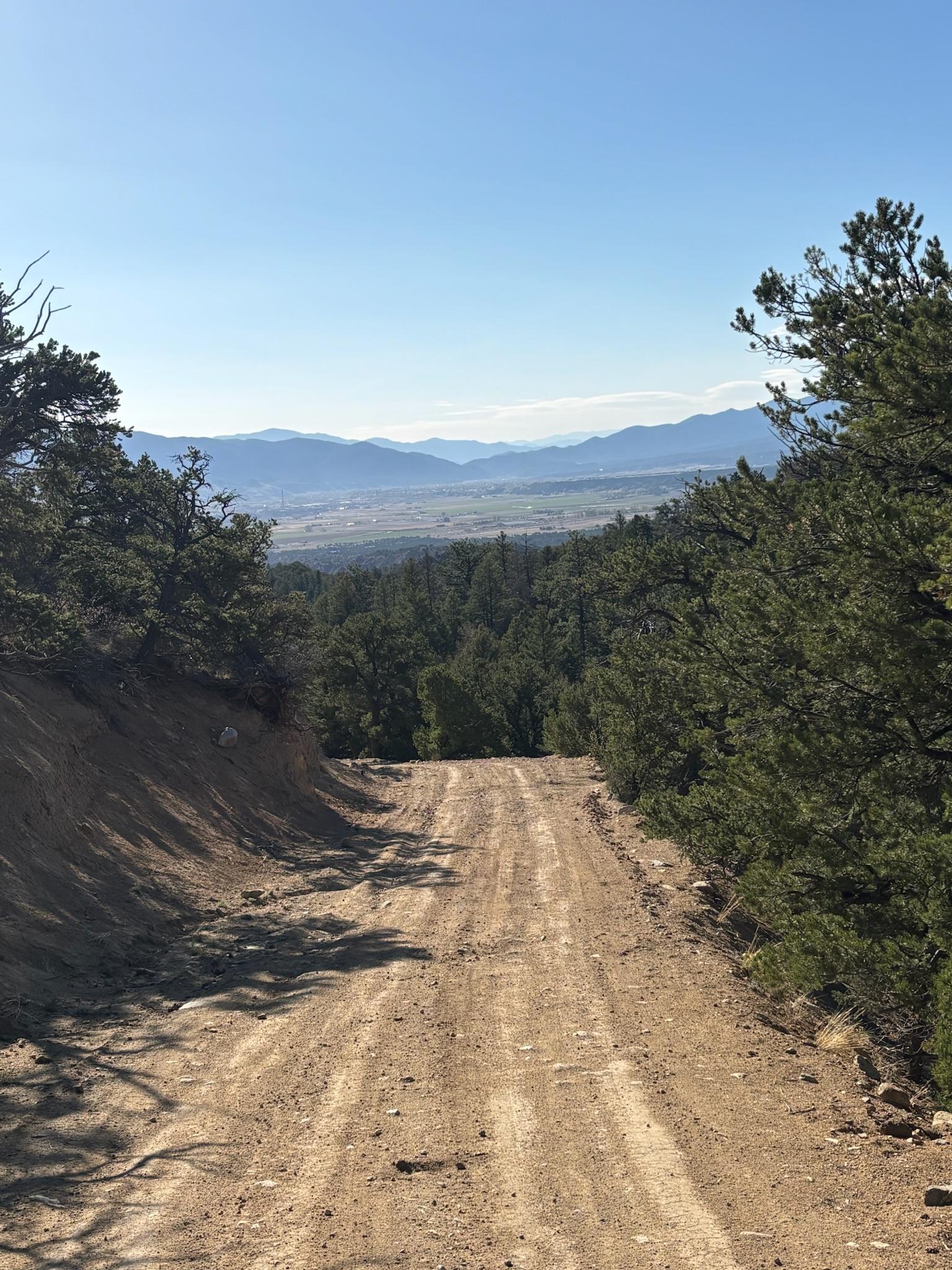
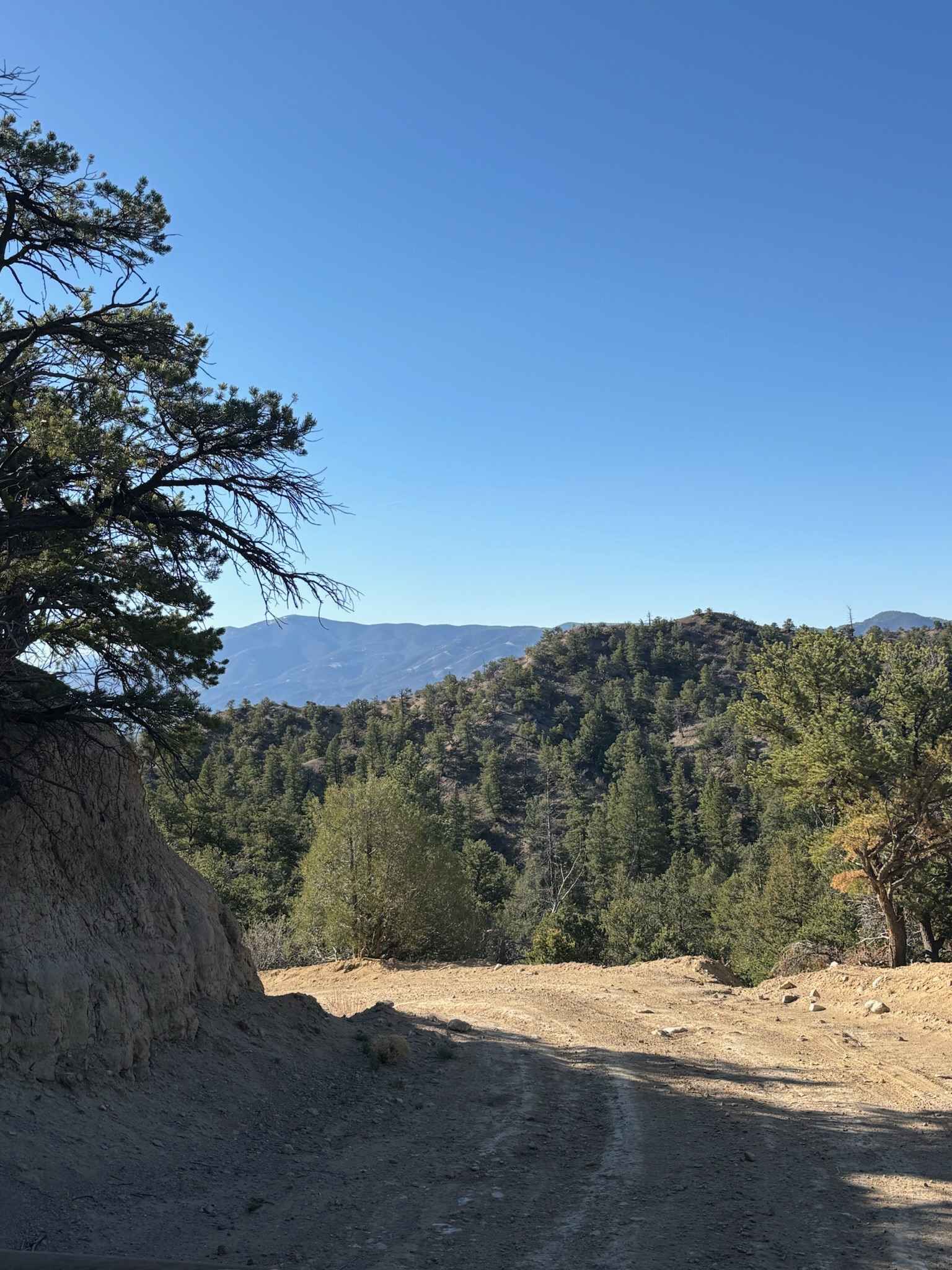
This route loops north from the Mt. Shavano trail to Droney Gulch Road. It starts in the alpine, with sweeping meadows and expansive views, before descending into a series of twisting trails that lead to the bottom of the gulch. Along the way, expect stunning views of Mt Shavano and the southern portion of the Collegiate Peaks, as well as plenty of wildlife like mule deer, elk, turkeys, and even pronghorn antelope. The trail itself winds through diverse ecosystems, ranging from alpine meadows to aspen forests to high desert. Note that the latter half of the trail goes through some private land, so be sure to stay on the trail.
Photos of Droney Gulch
Difficulty
The road is somewhat rutted at the bottom of Droney Gulch and includes some rockier portions, but should be doable for any stock truck.
Status Reports
Droney Gulch can be accessed by the following ride types:
- High-Clearance 4x4
- SUV
- SxS (60")
- ATV (50")
- Dirt Bike
Droney Gulch Map
Popular Trails
Rankin Road
The onX Offroad Difference
onX Offroad combines trail photos, descriptions, difficulty ratings, width restrictions, seasonality, and more in a user-friendly interface. Available on all devices, with offline access and full compatibility with CarPlay and Android Auto. Discover what you’re missing today!