BLM Route 017
Total Miles
5.0
Technical Rating
Best Time
Spring, Summer, Fall
Trail Type
50" Trail
Accessible By
Trail Overview
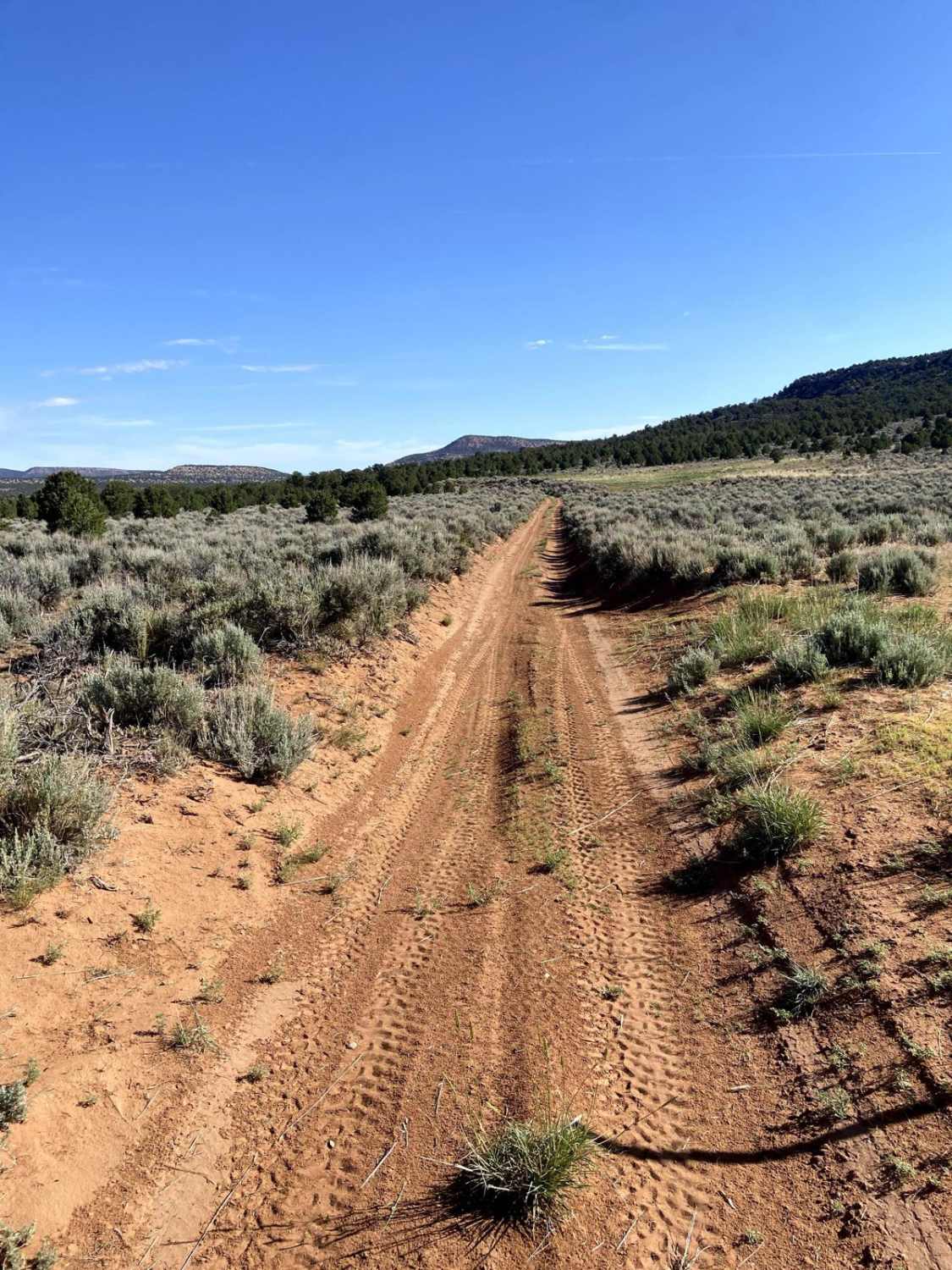
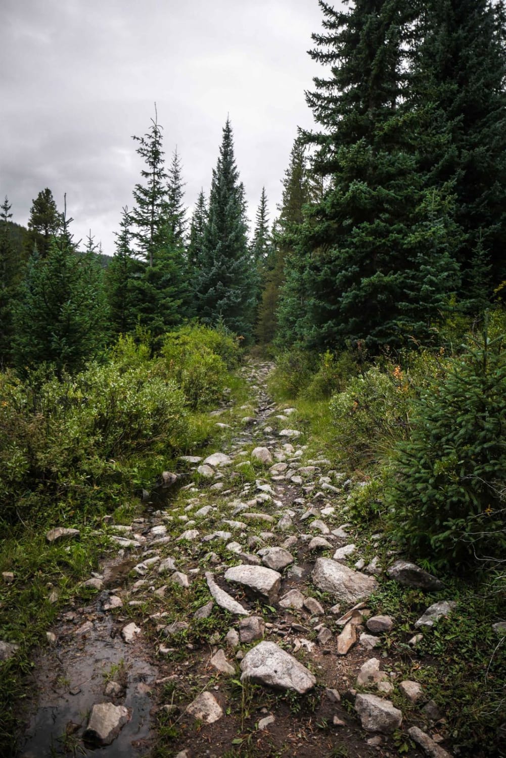
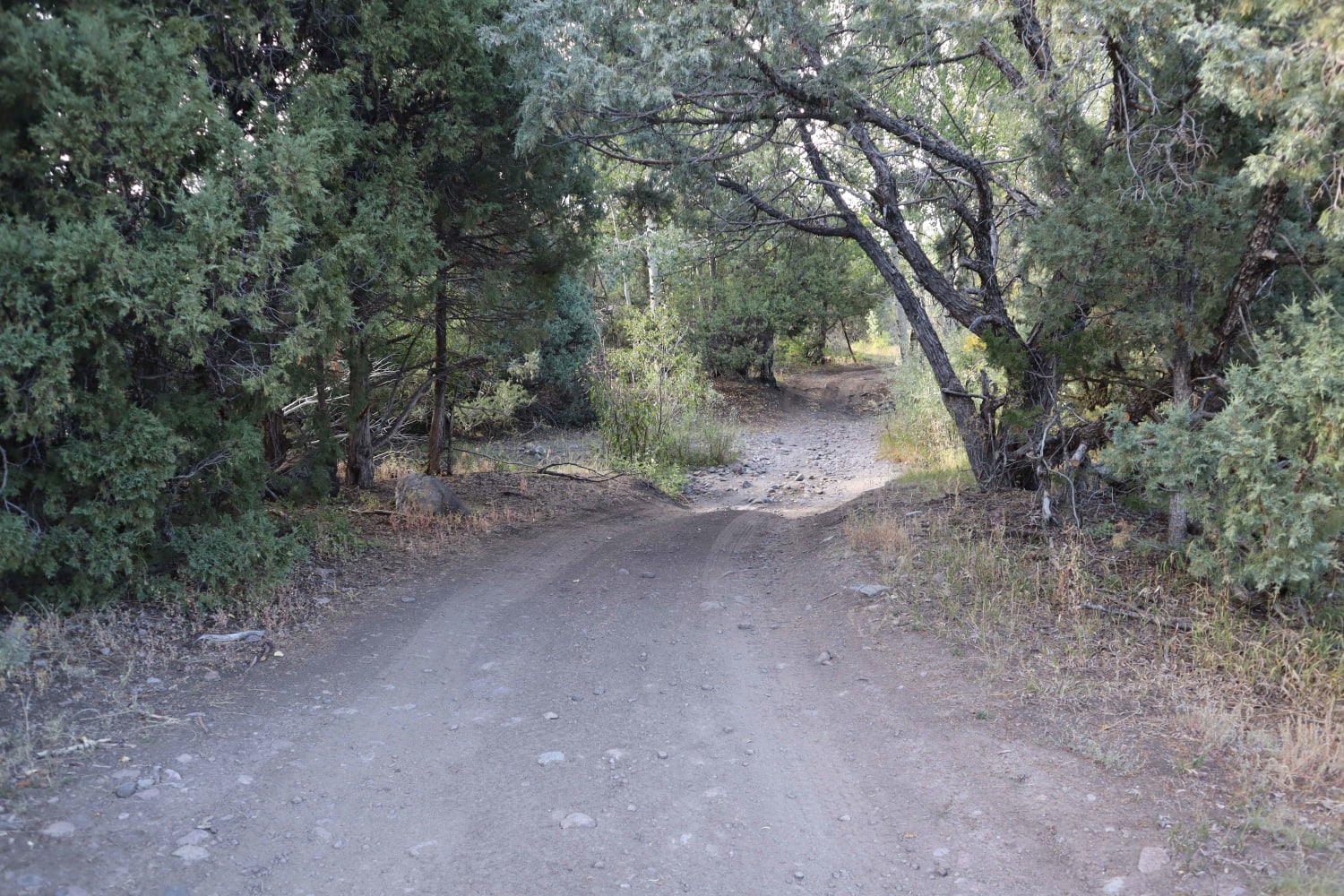
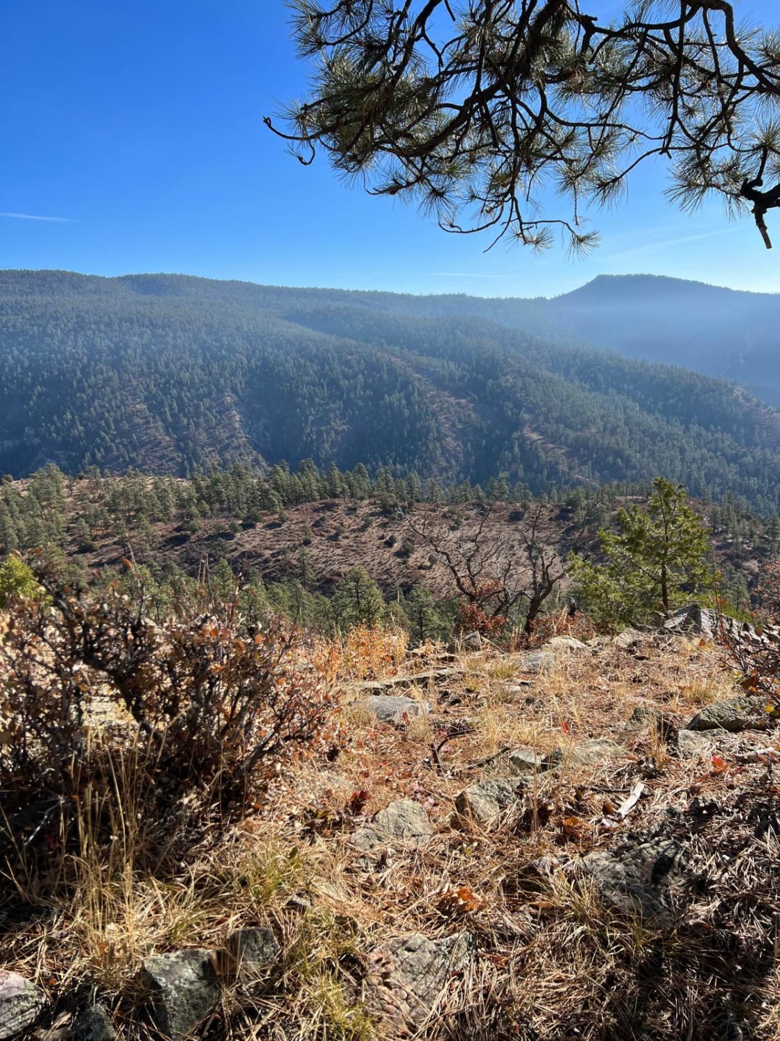
BLM Route 017 runs parallel to the Tabeguache in the Cactus Park area. When ridden south to north, the first 1.5 miles of the upper end are flowy and fast through loose red sand. As the trail heads north, the middle section becomes rocky with some fun features and easy but consistent rock gardens. There is a small creek crossing around the midpoint as well. The last 2 miles become less rocky and more sandy again as you go in and out of a wash before the trail ends near the Cactus Park Wilderness Trailhead. Enjoy the shade and vegetation in this last section, as it is much more green than most of the areas in Cactus Park.
Photos of BLM Route 017

Difficulty
Loose rock and features approximately 14-18 inches in the middle section warrant a 4/10. The ends are easier and faster while cruising through sand.
Status Reports
BLM Route 017 can be accessed by the following ride types:
- ATV (50")
- Dirt Bike
BLM Route 017 Map
Popular Trails

Switzerland Trail
Gold Creek (North)
Schrader Creek
The onX Offroad Difference
onX Offroad combines trail photos, descriptions, difficulty ratings, width restrictions, seasonality, and more in a user-friendly interface. Available on all devices, with offline access and full compatibility with CarPlay and Android Auto. Discover what you’re missing today!