Beaver Creek Loop
Total Miles
19.2
Technical Rating
Best Time
Summer, Spring, Fall
Trail Type
Full-Width Road
Accessible By
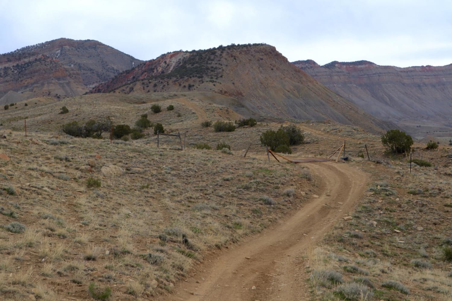
Trail Overview
This is a scenic and moderately challenging loop near Dunn Peak that crosses over Beaver Creek midway through the route. The trail consists of two-track paths over a mix of dirt and loose rock surfaces that will have occasional ruts and berms to navigate over. Mud holes up to 12" deep or more may be present at points along the trail and the creek crossing width and deep will vary depending on the season. There will be several spots along the trail that provide great vistas of the area. There are a few spots where trees and brush will be tight along the trail, especially for full-width vehicles.
Photos of Beaver Creek Loop

Difficulty
The main obstacles on this trail are water and mud hole crossings, which will require higher clearance. There are larger rocks and small ledges in places that will also need to be navigated. Rain or light snow will definitely change the difficulty level of this trail and make 4WD a necessity.
Beaver Creek Loop can be accessed by the following ride types:
- High-Clearance 4x4
- SUV
- SxS (60")
- ATV (50")
- Dirt Bike
Beaver Creek Loop Map
Popular Trails
Rancho Durango Bypass
25 and 27 1/4 Connector
The onX Offroad Difference
onX Offroad combines trail photos, descriptions, difficulty ratings, width restrictions, seasonality, and more in a user-friendly interface. Available on all devices, with offline access and full compatibility with CarPlay and Android Auto. Discover what you’re missing today!