Back Way to North Sand Hills
Total Miles
23.8
Technical Rating
Best Time
Summer, Fall
Trail Type
Full-Width Road
Accessible By
Trail Overview
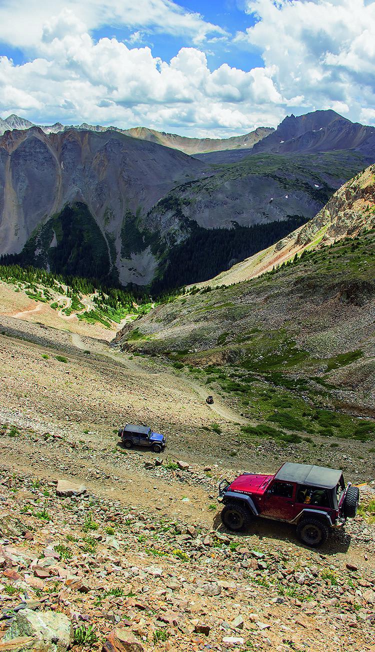
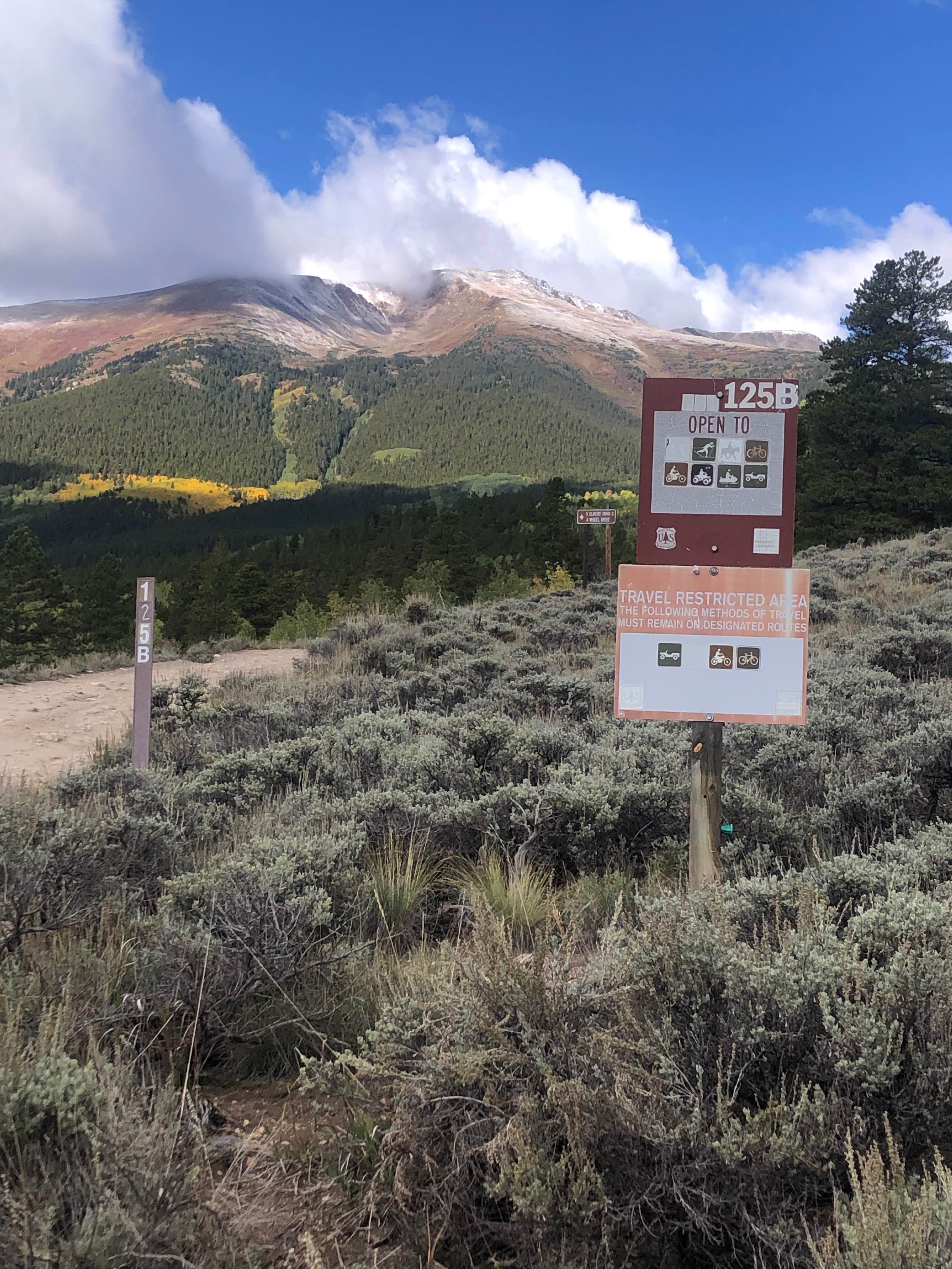
Avoid the paved road to Walden on this fun back way to North Sand Hills. There are camping sites along the trail, and a good number of side roads to play on. The Old Roach Area is part of the Roosevelt National Forest and is open year-round.
Photos of Back Way to North Sand Hills
Difficulty
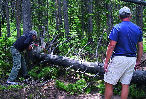
Moderate. Most of this route is easy, but F.S. 200 can become a quagmire when wet. The final 3-mile descent to the dunes is narrow, rocky and rough in places. Sandy roads at the bottom near the creek are prone to washouts and difficult conditions are possible here. Carry a tree saw or chain saw as fallen trees are everywhere and sometimes block the trail.
Status Reports
Back Way to North Sand Hills can be accessed by the following ride types:
- High-Clearance 4x4
- SUV
- SxS (60")
- ATV (50")
- Dirt Bike
Back Way to North Sand Hills Map
Popular Trails

Montezuma Basin

Fred Garza Memorial Trail

Mount Elbert East Ridge

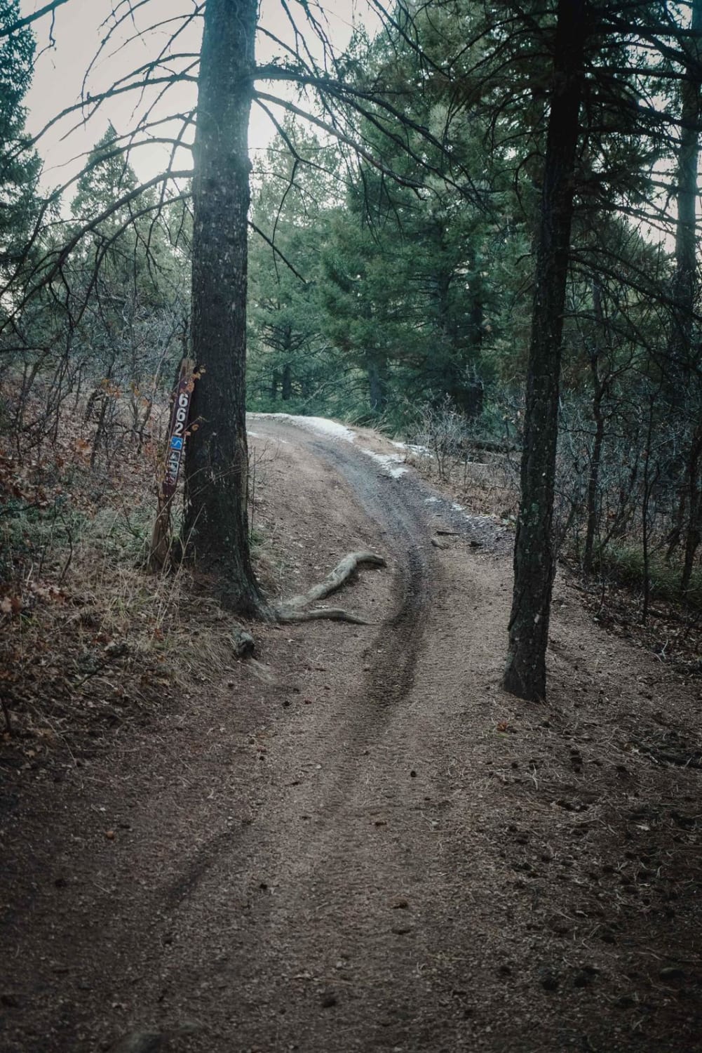
662 ATV Trail
The onX Offroad Difference
onX Offroad combines trail photos, descriptions, difficulty ratings, width restrictions, seasonality, and more in a user-friendly interface. Available on all devices, with offline access and full compatibility with CarPlay and Android Auto. Discover what you’re missing today!

