8503
Total Miles
2.8
Technical Rating
Best Time
Fall, Summer, Spring
Trail Type
Single Track
Accessible By
Trail Overview
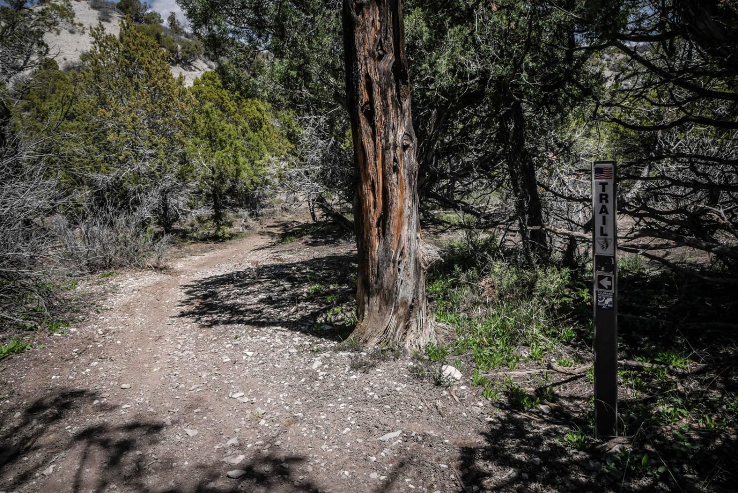
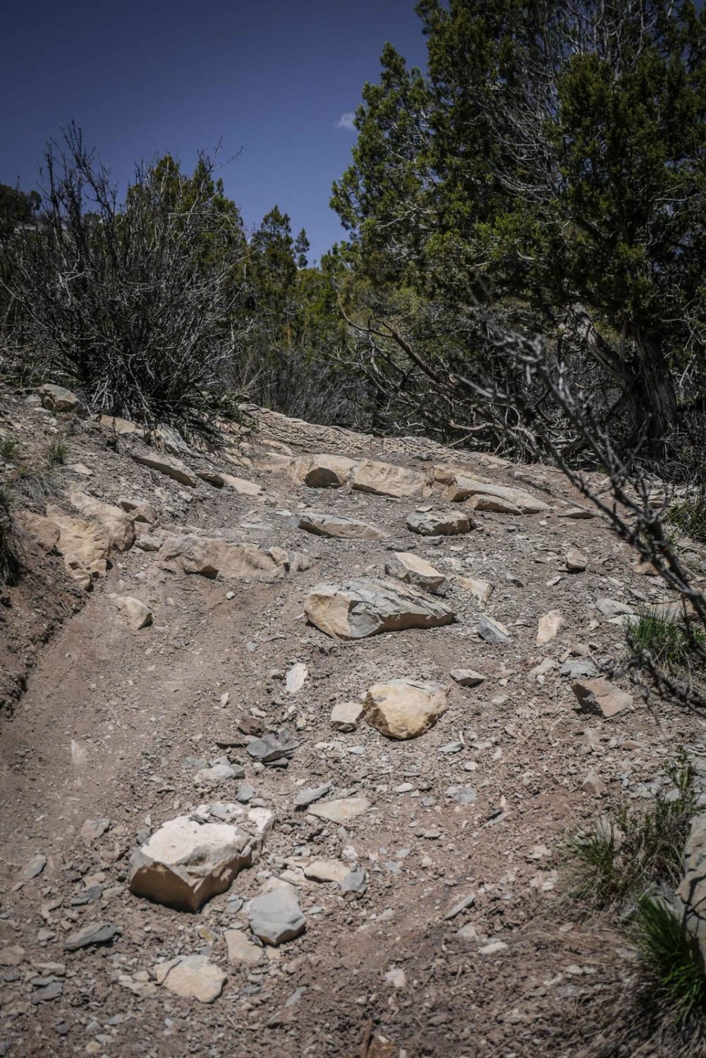
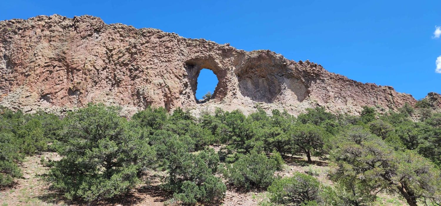
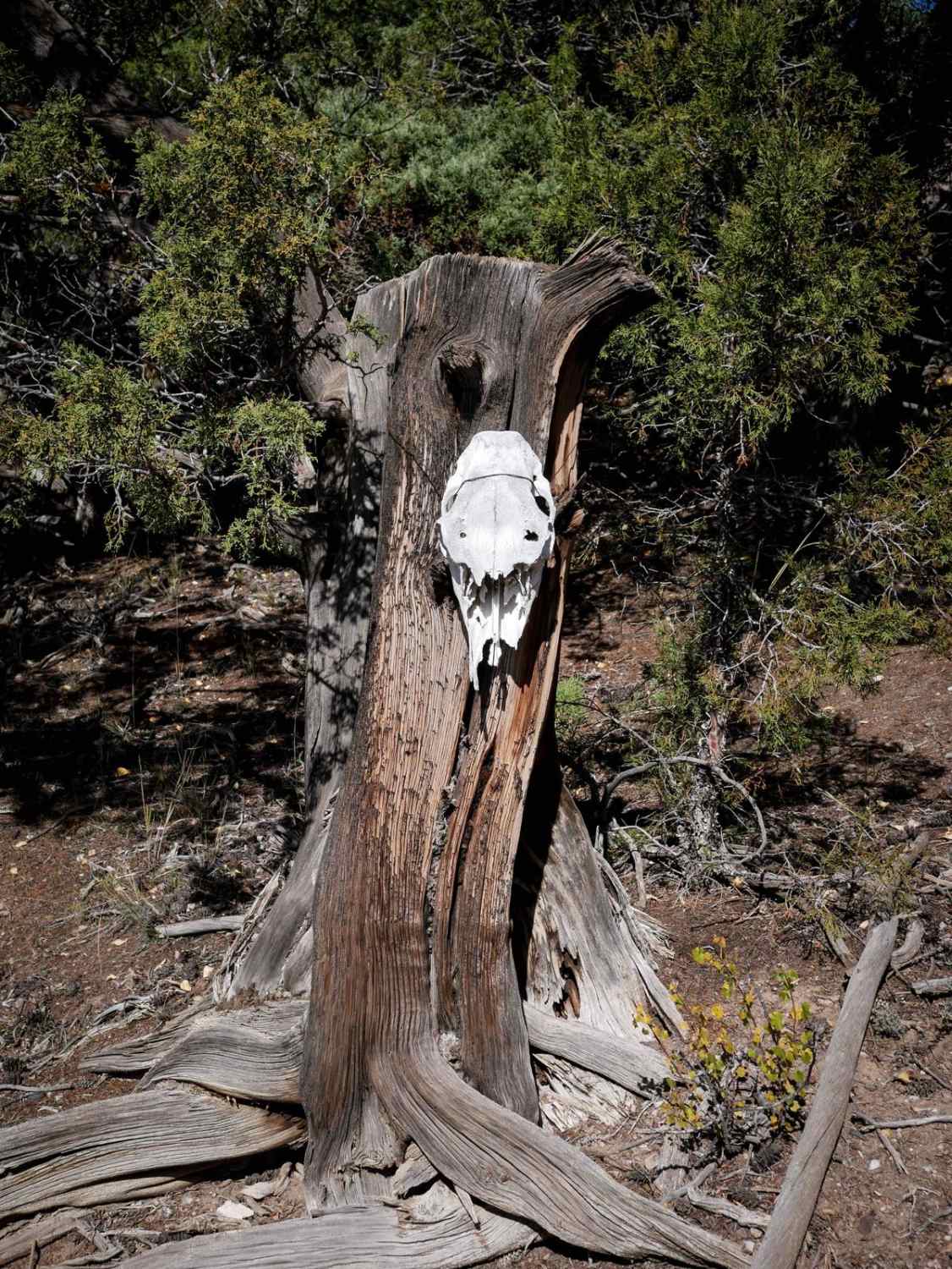
From south to north, single-track trail 8503 starts off with several big downhills on loose dirt with small rock drop-offs. The downhills are very steep with some small rocks in the trail and often have a sharp curve at the end in between the trees. It goes into a fun ravine at the bottom of the hill with banked corners for a short section. Then the trail becomes very curvy with sharp turns in the pinyon pines, with several hill climbs and descents with lots of brake bumps. There is a big climb up with small rock ledges that add a challenge. It continues across a skinny ridge line with a great view overlooking the highway, followed by another big loose downhill. There is one more notable small root obstacle along one of the curves. It pops out of the trees before the intersection with 8502A and rides along a drier, more open landscape. It meanders through pinyon pine, small pine trees, and sagebrush meadows with beautiful scenery and comes to the intersection with 8503C, which is an easy bailout back to BLM Route 8502, the dirt road that accesses these trails. The second part of the trail after this intersection is much easier than the first half. It just winds through open meadows and is really fun. There is one washout on the side of the trail to watch out for when it crosses a ravine. It ends at the intersection with 8503A and B. This trail is unique because it goes through a variety of landscapes that are a mix between desert and low alpine, with varying challenges. There are sections of grey more clay-like dirt, black dirt, and brown dirt in the pine trees, and wide open sagebrush meadows.
Photos of 8503
Difficulty
The first half of this trail is more challenging with lots of steep climbs, loose rock and roots. The second half is easier, fast and flowy through sage brush meadows. Overall it is a moderately easy trail.
8503 can be accessed by the following ride types:
- Dirt Bike
8503 Map
Popular Trails

La Plata Canyon/CR 124

The onX Offroad Difference
onX Offroad combines trail photos, descriptions, difficulty ratings, width restrictions, seasonality, and more in a user-friendly interface. Available on all devices, with offline access and full compatibility with CarPlay and Android Auto. Discover what you’re missing today!