608 Connect- 694
Total Miles
1.1
Technical Rating
Best Time
Summer, Fall, Spring
Trail Type
50" Trail
Accessible By
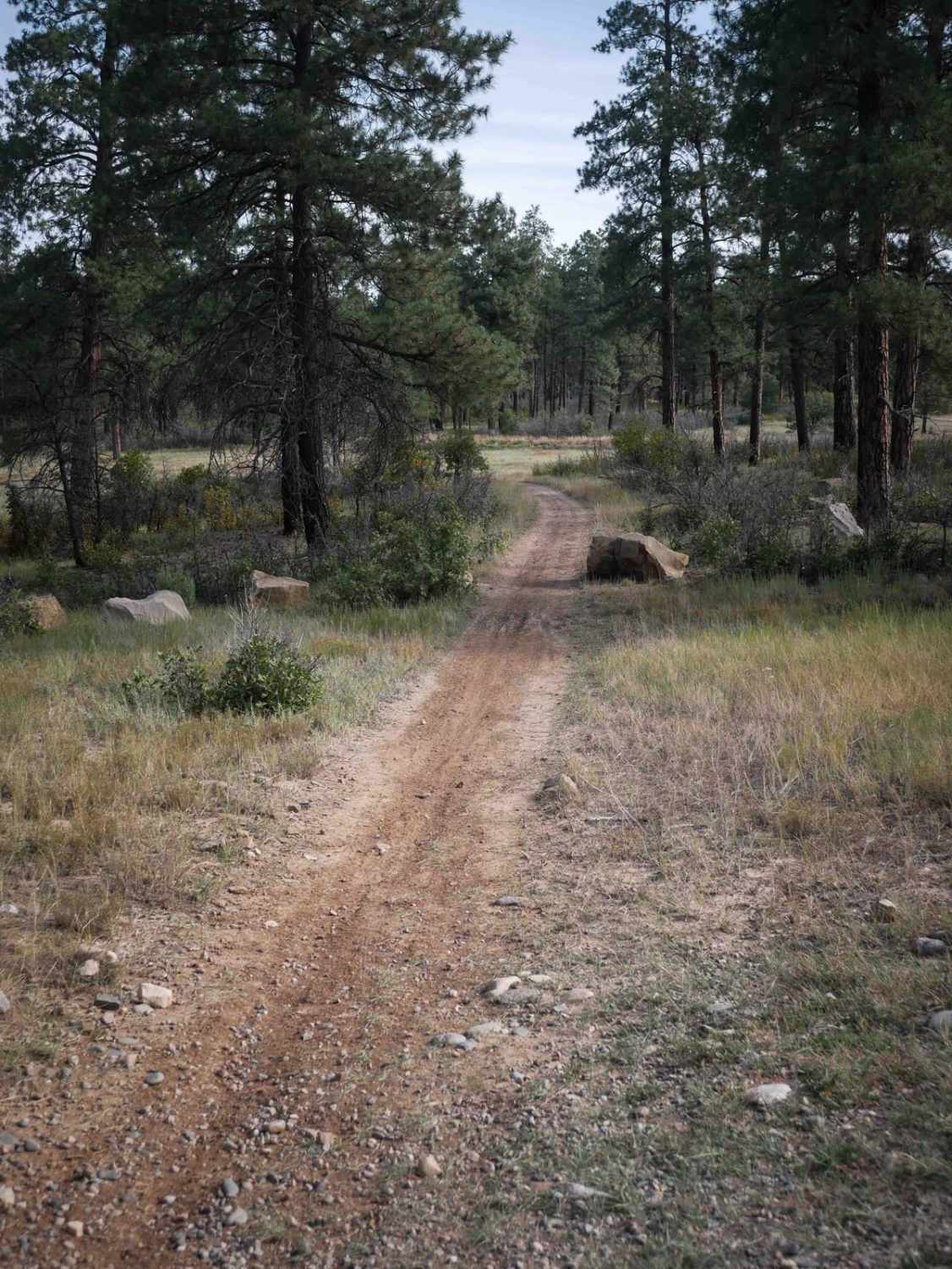
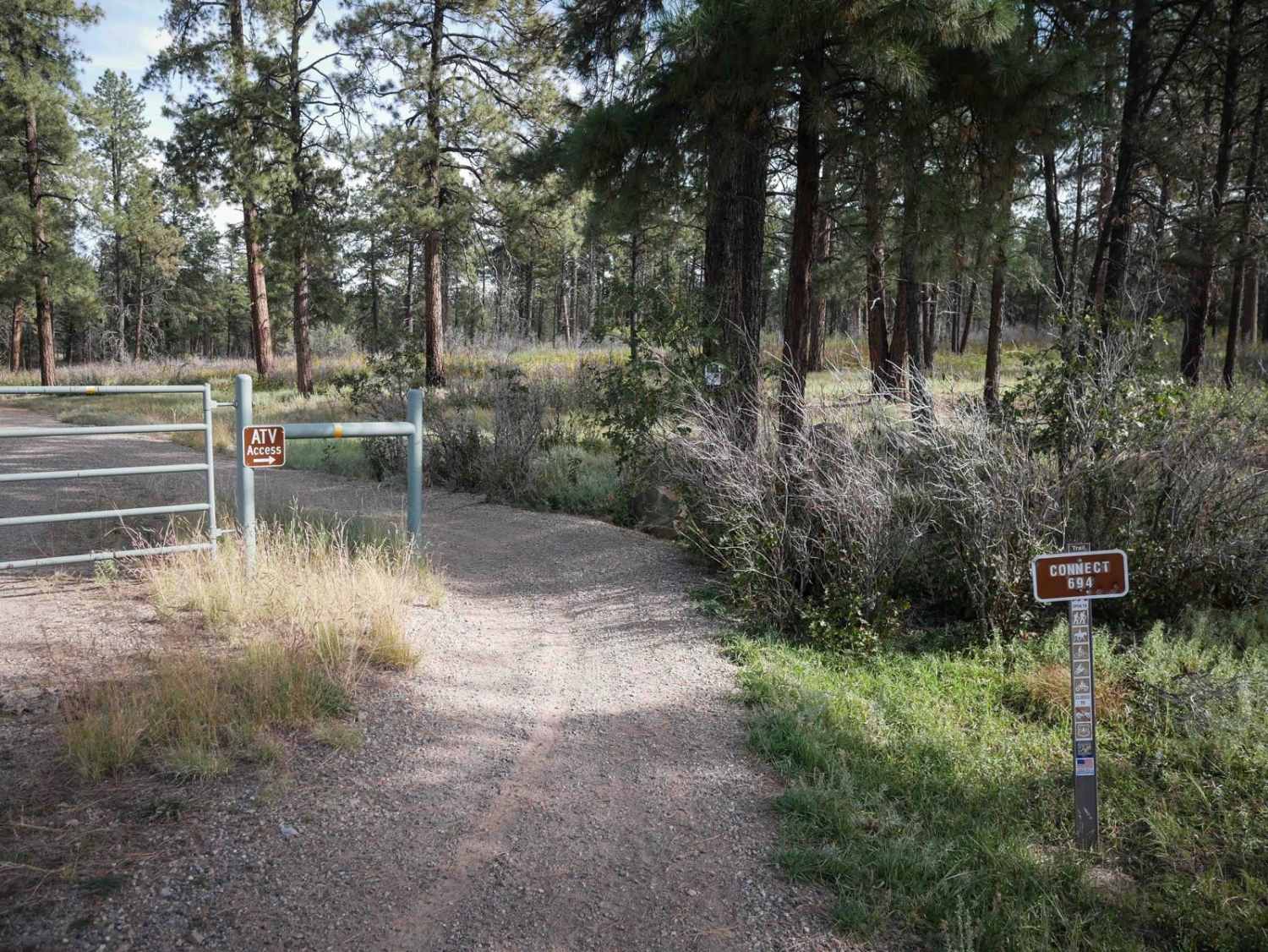
Trail Overview
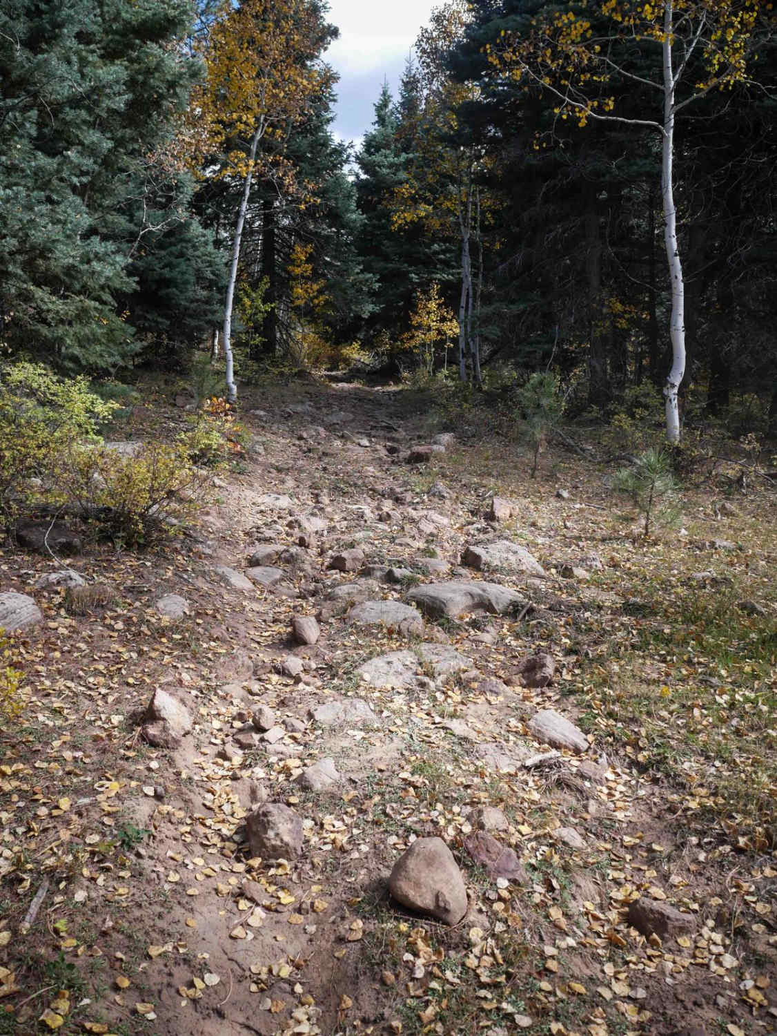
608 Connect- 694 is an ATV trail that connects two portions of the Forest Service Road 608. The south end starts as an oil well access road past a gate, but there is a trail portion that ducks off to the west and makes a triangle off of the oil well road. It crosses the road again, then continues northeast on the trail until it ends at a boulder pinch point at a small parking area on 608 Road. The trail itself is super easy, just a wide dirt two-track that is flat, smooth, and fast, underneath tall ponderosa pines. The trail hardly has any rock, and should be manageable by even the most novice ATV rider. It avoids having to take a portion of the road.
Photos of 608 Connect- 694
Difficulty
This is a very easy ATV trail that has no obstacles and is smooth and flat.
Status Reports
608 Connect- 694 can be accessed by the following ride types:
- ATV (50")
- Dirt Bike
608 Connect- 694 Map
Popular Trails
Haircut Road

Madden Peak Road
Pool Table Road
The onX Offroad Difference
onX Offroad combines trail photos, descriptions, difficulty ratings, width restrictions, seasonality, and more in a user-friendly interface. Available on all devices, with offline access and full compatibility with CarPlay and Android Auto. Discover what you’re missing today!