6041 ATV
Total Miles
0.7
Technical Rating
Best Time
Summer, Fall, Spring, Winter
Trail Type
50" Trail
Accessible By
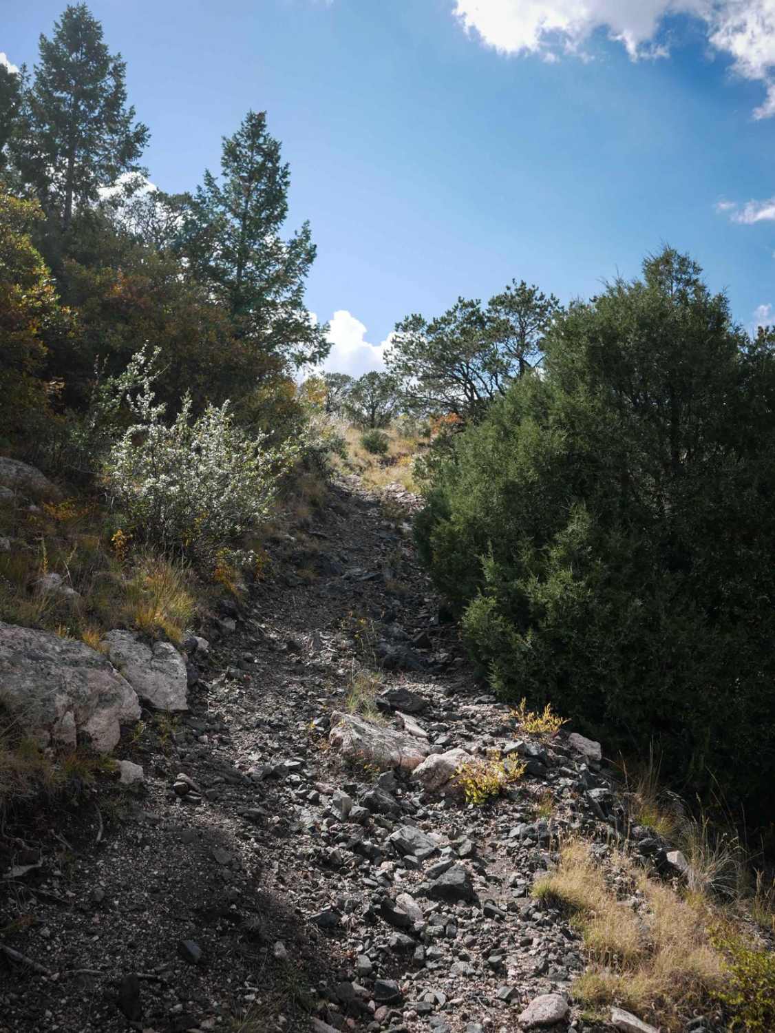
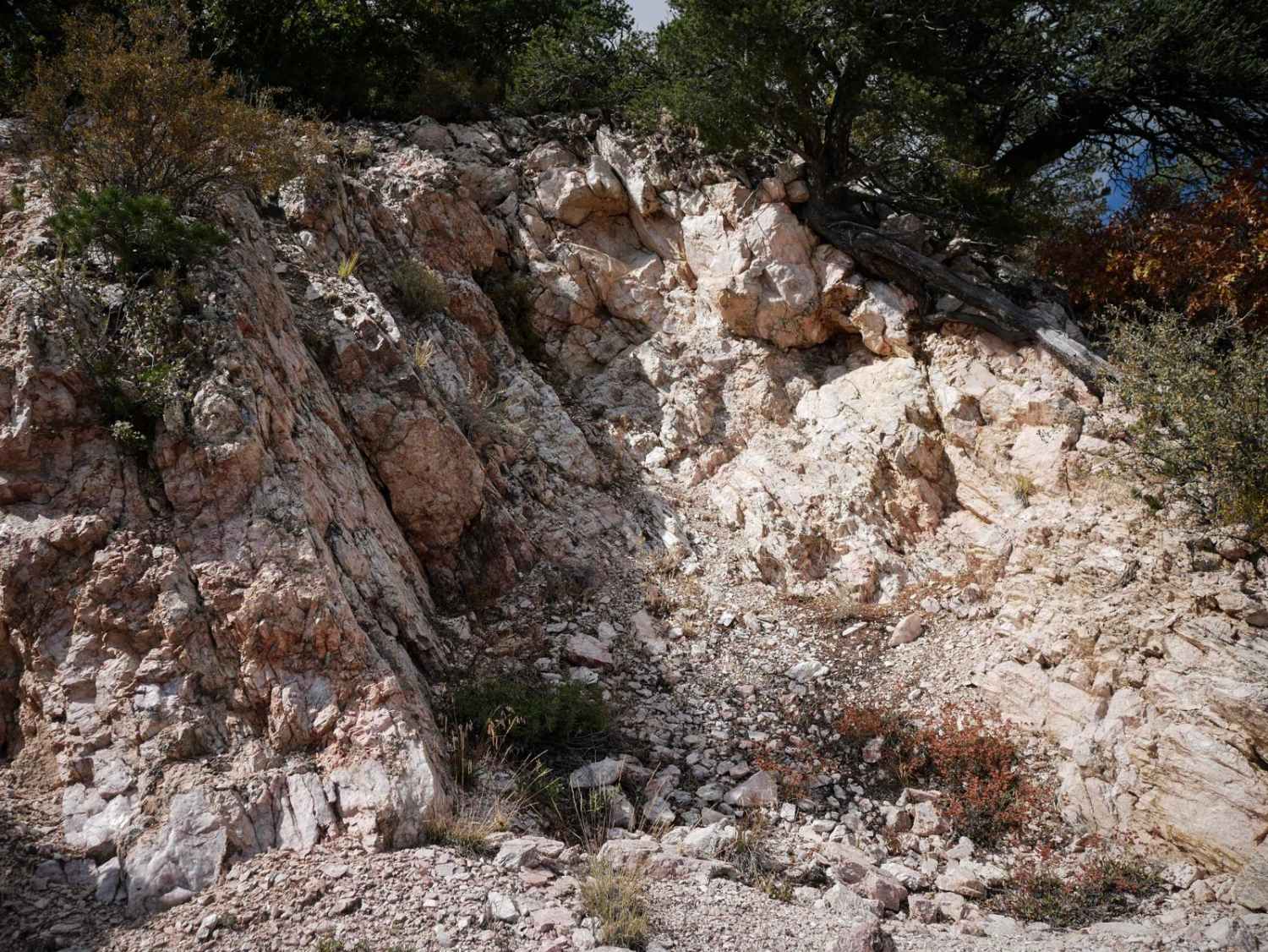
Trail Overview
This short ATV trail starts from the south at BLM Route 6040, and either splits off to the left as 6041 or goes to the right as 6041A and makes a turn up to a mine and overlooks the surrounding mountains. The left side is super easy. The right spur starts as a narrow trail between lots of pinyon pine, with sometimes branches sticking out over the trail. There's quite a bit of loose rock in the trail and baby heads to watch out for. The surface of the trail is also pea-gravel, which can be loose and slippery. There are big boulders lining the trail, but no huge rocks that you actually have to ride over. It climbs up for .2 miles, pretty steep the whole way then gets up to an old mine. Then it descends back down, which is also a pretty steep descent. It dead ends at a turnaround spot where you can overlook the mountains. It's a short trail, but a fun detour to check out if already riding in the Texas Creek Recreation Area.
Photos of 6041 ATV
Difficulty
This trail is intermediate for ATVs because it's a bit narrow between the bushes, pretty steep the whole way, and the loose surface would actually make it a bit tough on an ATV.
Status Reports
6041 ATV can be accessed by the following ride types:
- ATV (50")
- Dirt Bike
6041 ATV Map
Popular Trails
Cty Rd 6 - Christ of the Mines Shrine

Spring Creek Spur B ATV Trail

Sound Democrat Mill
The Banks BLM Road 5820
The onX Offroad Difference
onX Offroad combines trail photos, descriptions, difficulty ratings, width restrictions, seasonality, and more in a user-friendly interface. Available on all devices, with offline access and full compatibility with CarPlay and Android Auto. Discover what you’re missing today!