5830A
Total Miles
0.9
Technical Rating
Best Time
Spring, Summer, Fall, Winter
Trail Type
50" Trail
Accessible By
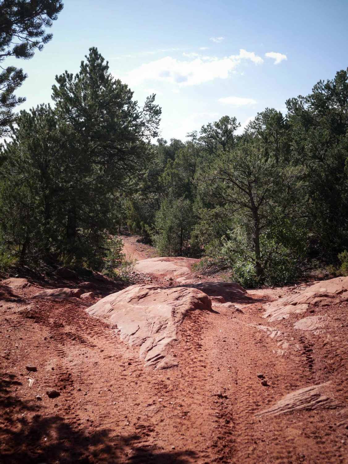
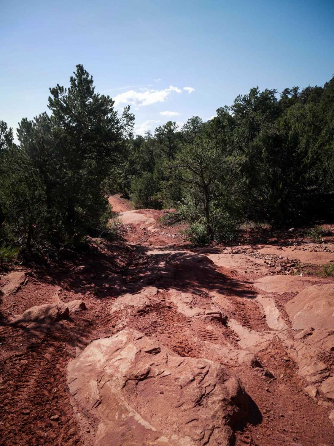
Trail Overview
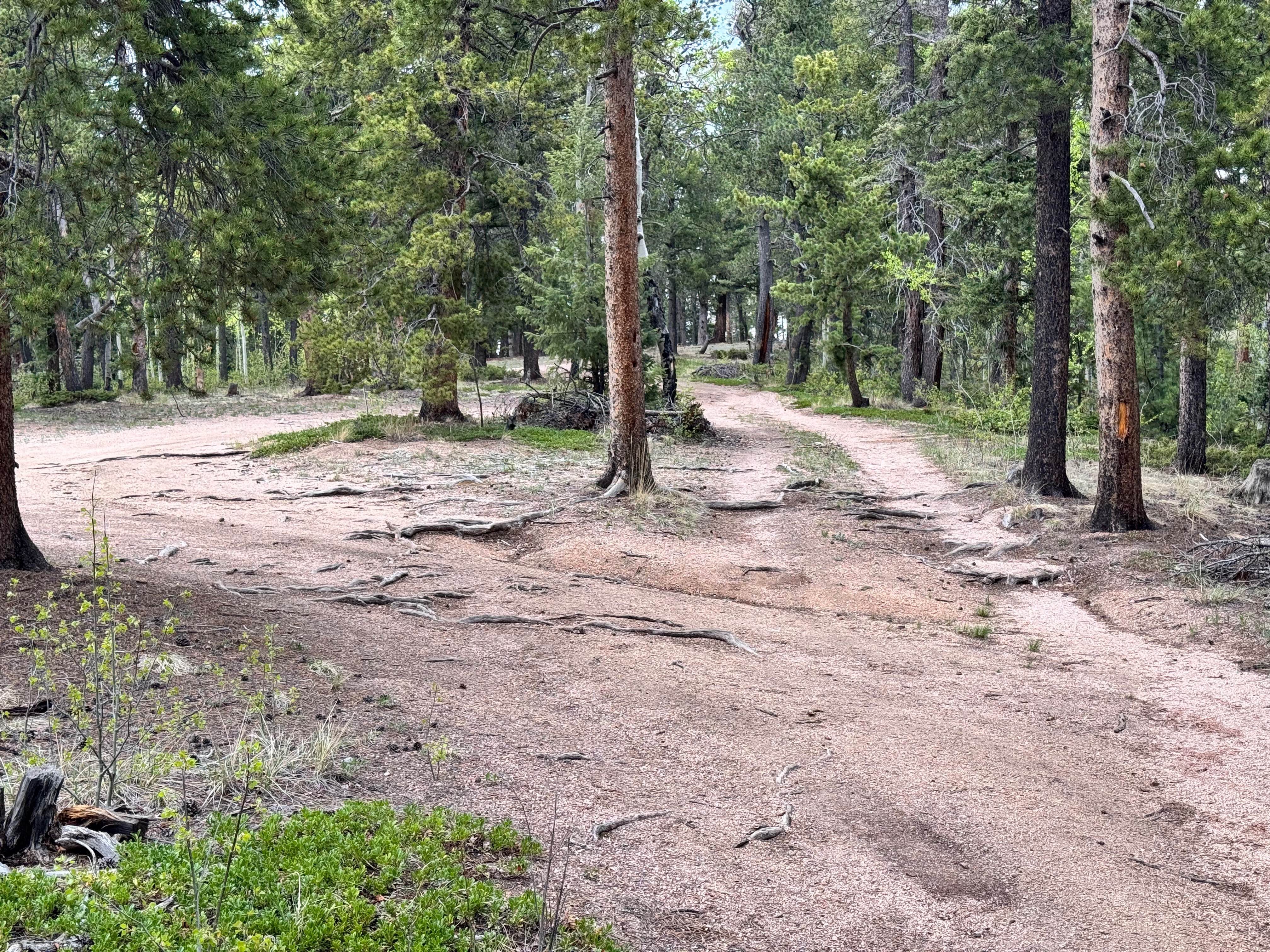
This trail starts directly out of the Seep Springs staging area, and will likely be the first trail you take if making a clockwise loop on all the ATV trails. It starts in a flat valley surrounded by pinyon pine trees and starts ascending up the mesa to connect with the Maverick Trail. As you ascend the mesa, there are some big embedded rock slabs right away that are not very difficult as they are flat and ramped. Some of the slabs stick up a bit more, creating small ledges less than a foot tall, but they are still easy and the trail is very wide around these rock sections. The climb is very gradual, and it ends after a mile at the intersection with Maverick.
Photos of 5830A
Difficulty
Overall this trail is really easy for any type of ATV vehicle as it only has a bit of rock slab that riders will have to navigate. It is one of the easier trails in the trail system.
Status Reports
5830A can be accessed by the following ride types:
- ATV (50")
- Dirt Bike
5830A Map
Popular Trails
Gold Camp Rd to Cripple Creek

Devil Mountain
The onX Offroad Difference
onX Offroad combines trail photos, descriptions, difficulty ratings, width restrictions, seasonality, and more in a user-friendly interface. Available on all devices, with offline access and full compatibility with CarPlay and Android Auto. Discover what you’re missing today!