Fourmile Area
Total Miles
24.5
Technical Rating
Best Time
Summer, Fall
Trail Type
Full-Width Road
Accessible By
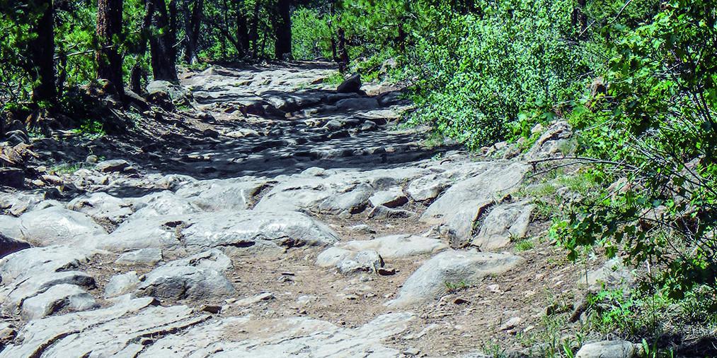
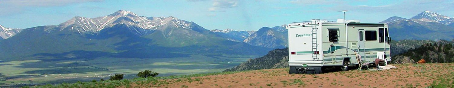
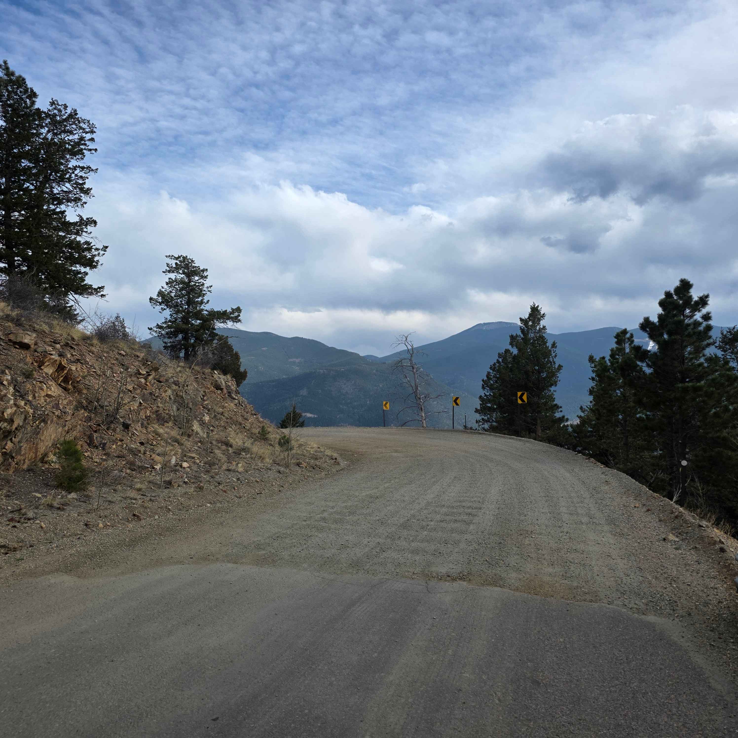
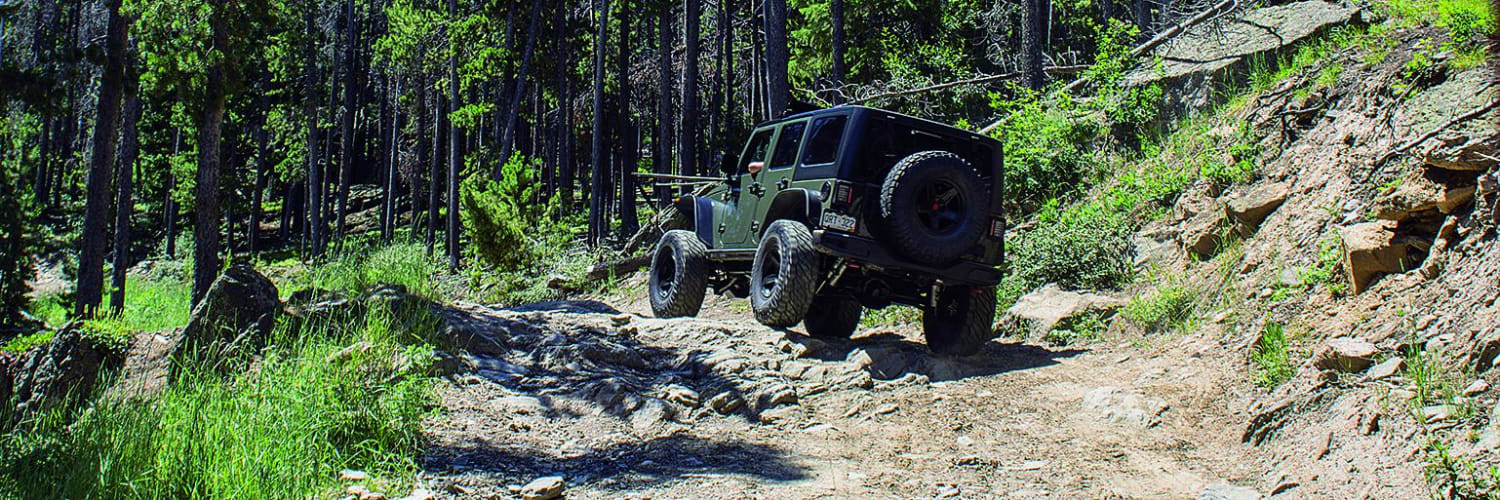
Trail Overview
Very fun area for ATVs, UTVs, and dirt bikes. The northwest corner is a spider web of roads that are great for exploring. There are options for beautiful dispersed campsites with incredible views of the Collegiate Peaks. Avoid the private Goddard Ranch. Most of the area is closed December to April for snow.
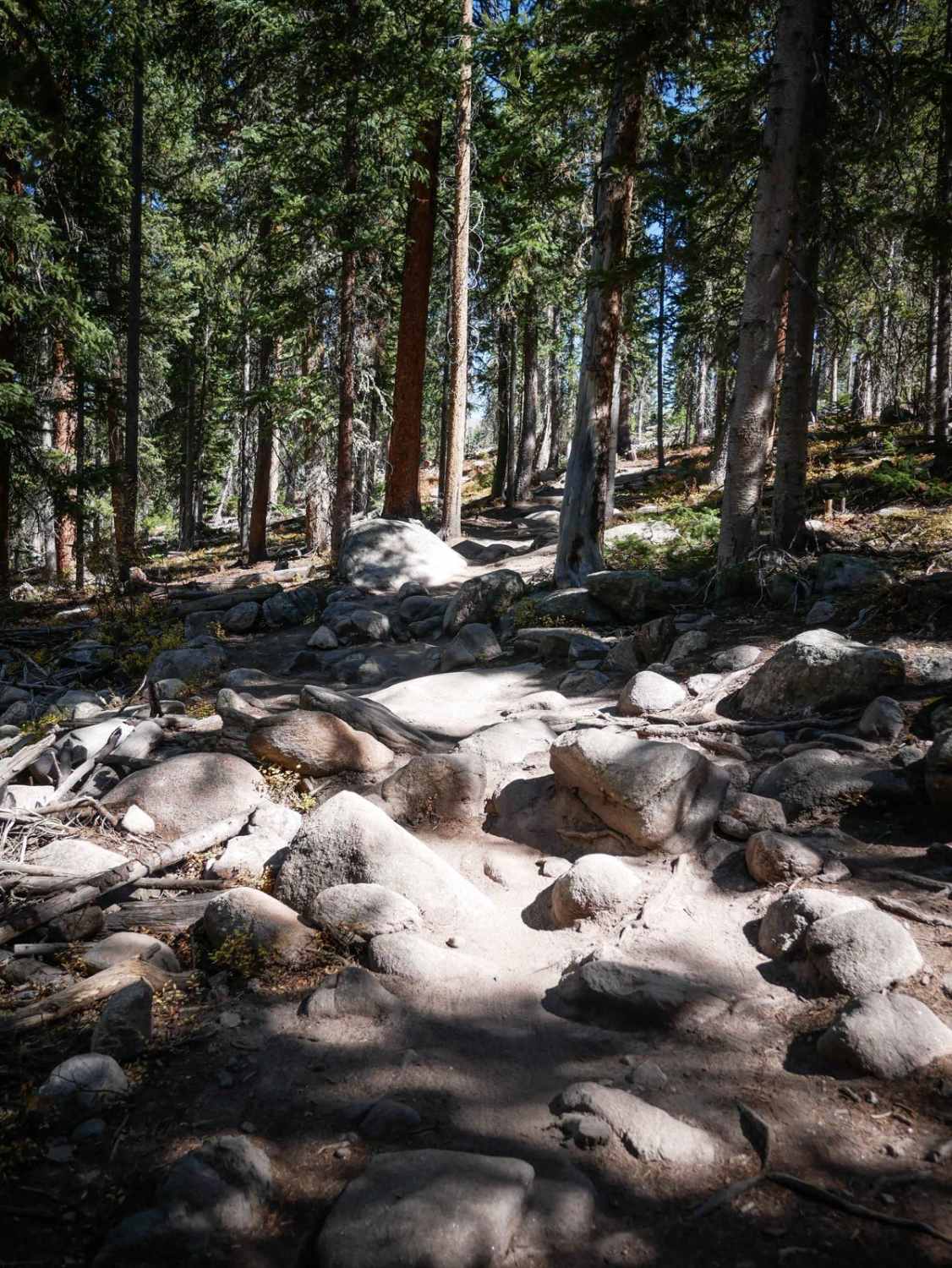
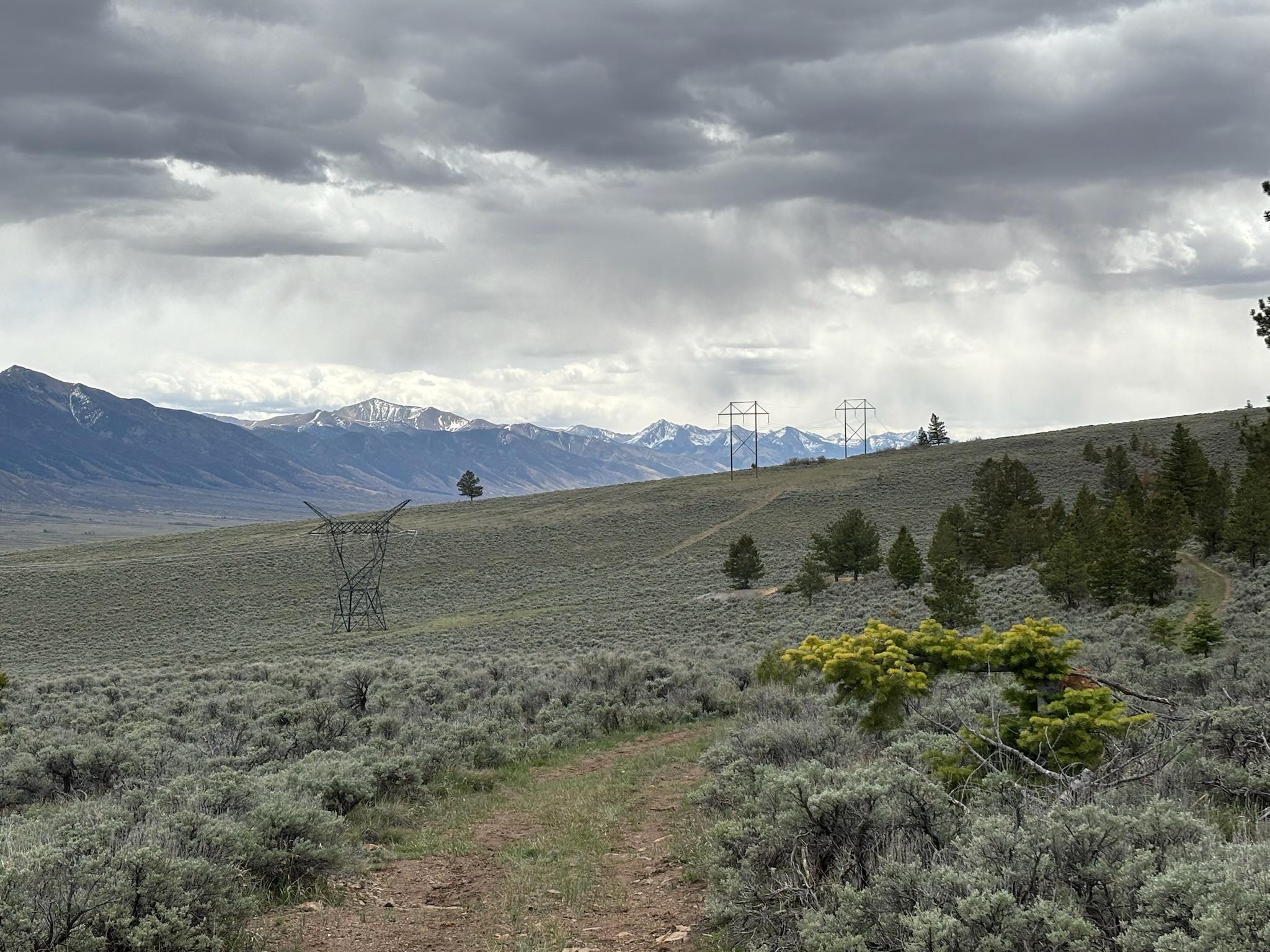
Photos of Fourmile Area
Difficulty
Easy. Variety of conditions from graded roads to narrow, rutted and sandy roads. Steep in a few places. Stats: Length: 24.7 miles. Time: 3 to 4 hours. High point: 9,
History
As you enter the area on F.S. 315, you'll see signs for the Midland Bike Trail on the left. This bike route follows an old railroad grade of the Colorado Midland R.R. that was active from 887 to 1918. The railroad ran from Colorado Springs to New Castle on the Western Slope. New Castle produced coal and limestone, which was shipped to major mining centers, including leadville. The railroad also carried passengers to Glenwood Hot Springs.
Status Reports
Fourmile Area can be accessed by the following ride types:
- High-Clearance 4x4
- SUV
- SxS (60")
- ATV (50")
- Dirt Bike
Fourmile Area Map
Popular Trails
Virginia Canyon Road
Storm Mountain, Bear Gulch
Old Railroad Road
The onX Offroad Difference
onX Offroad combines trail photos, descriptions, difficulty ratings, width restrictions, seasonality, and more in a user-friendly interface. Available on all devices, with offline access and full compatibility with CarPlay and Android Auto. Discover what you’re missing today!