310
Total Miles
3.1
Technical Rating
Best Time
Spring, Summer, Fall
Trail Type
Single Track
Accessible By
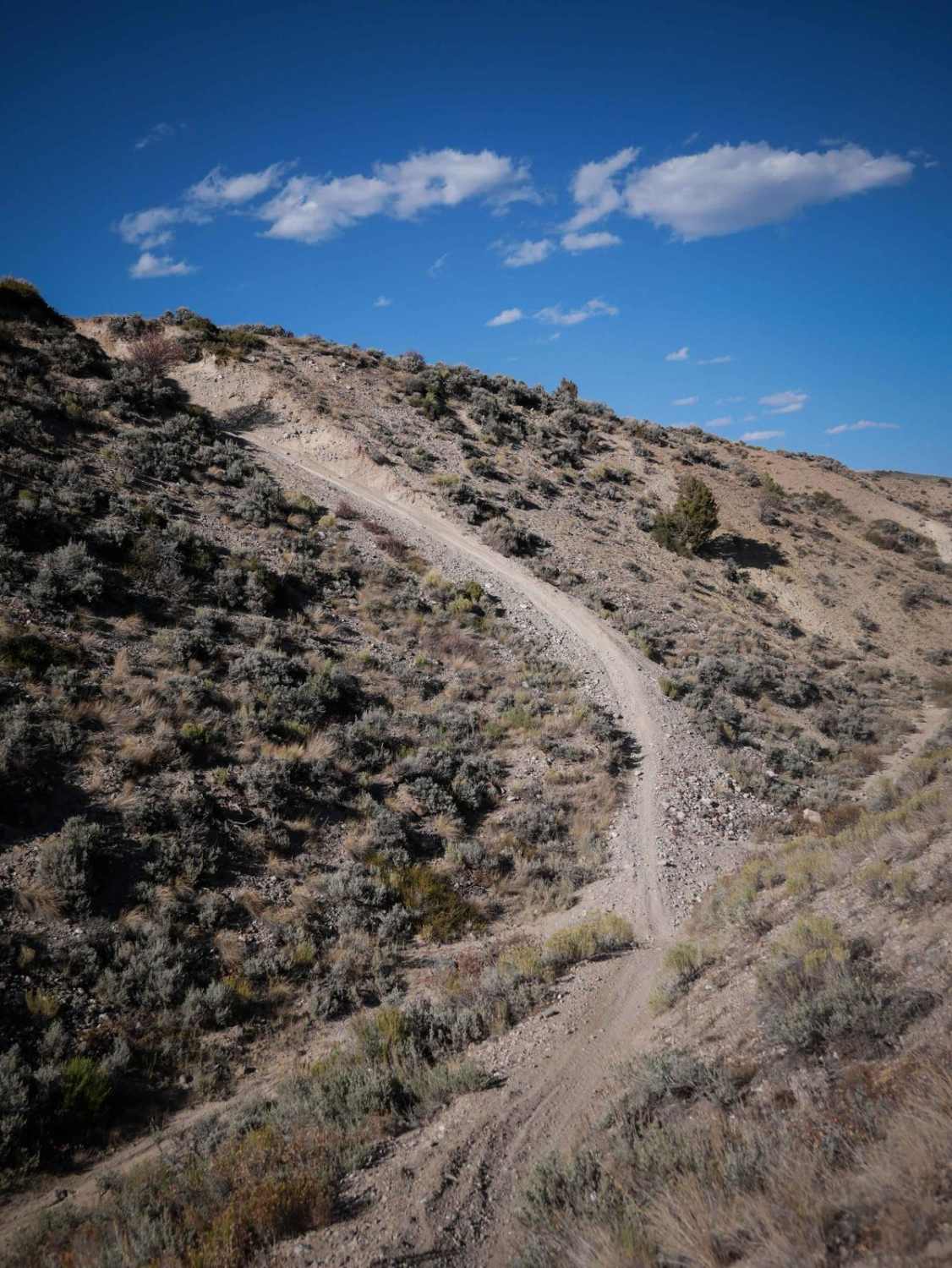
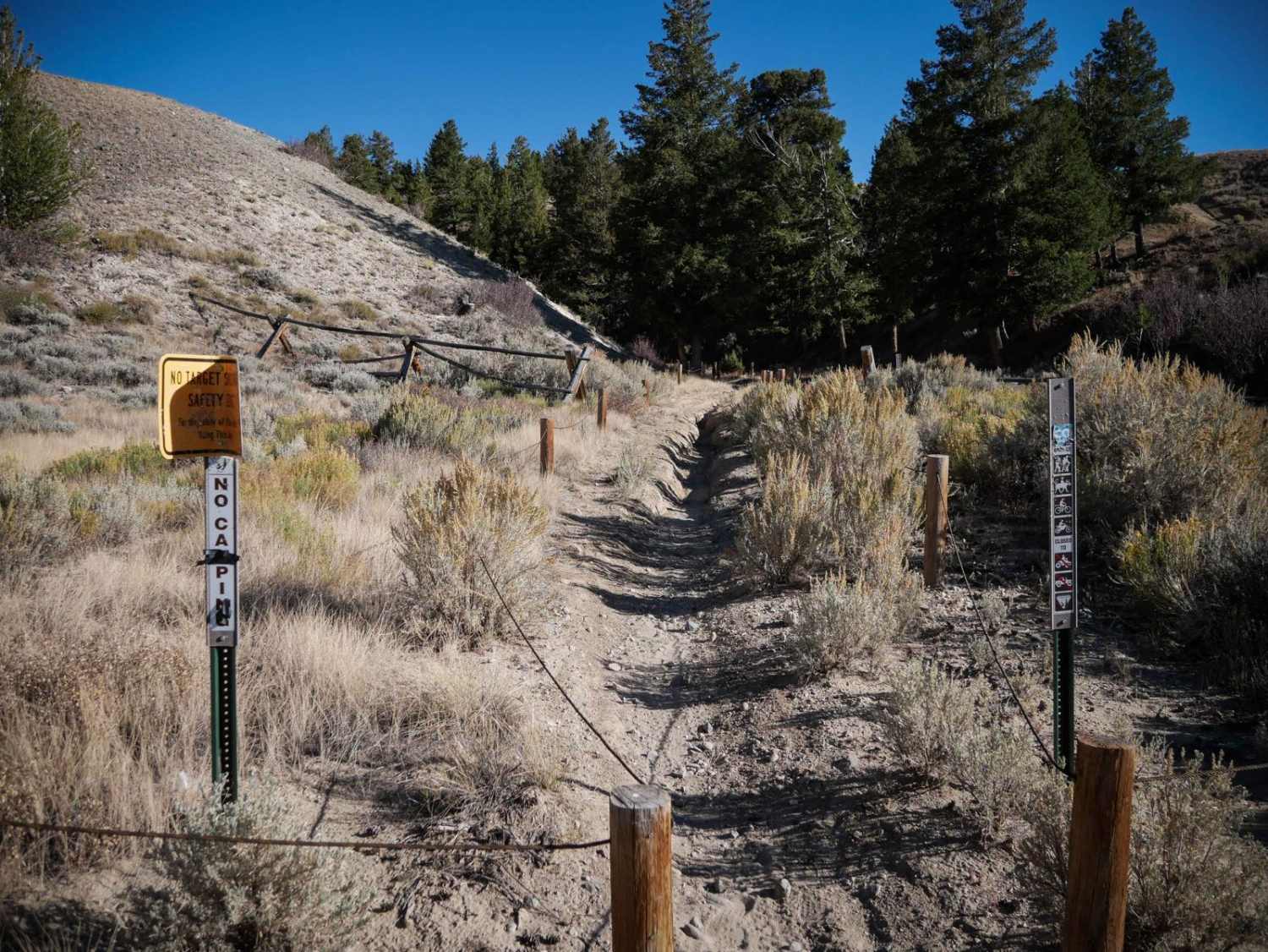
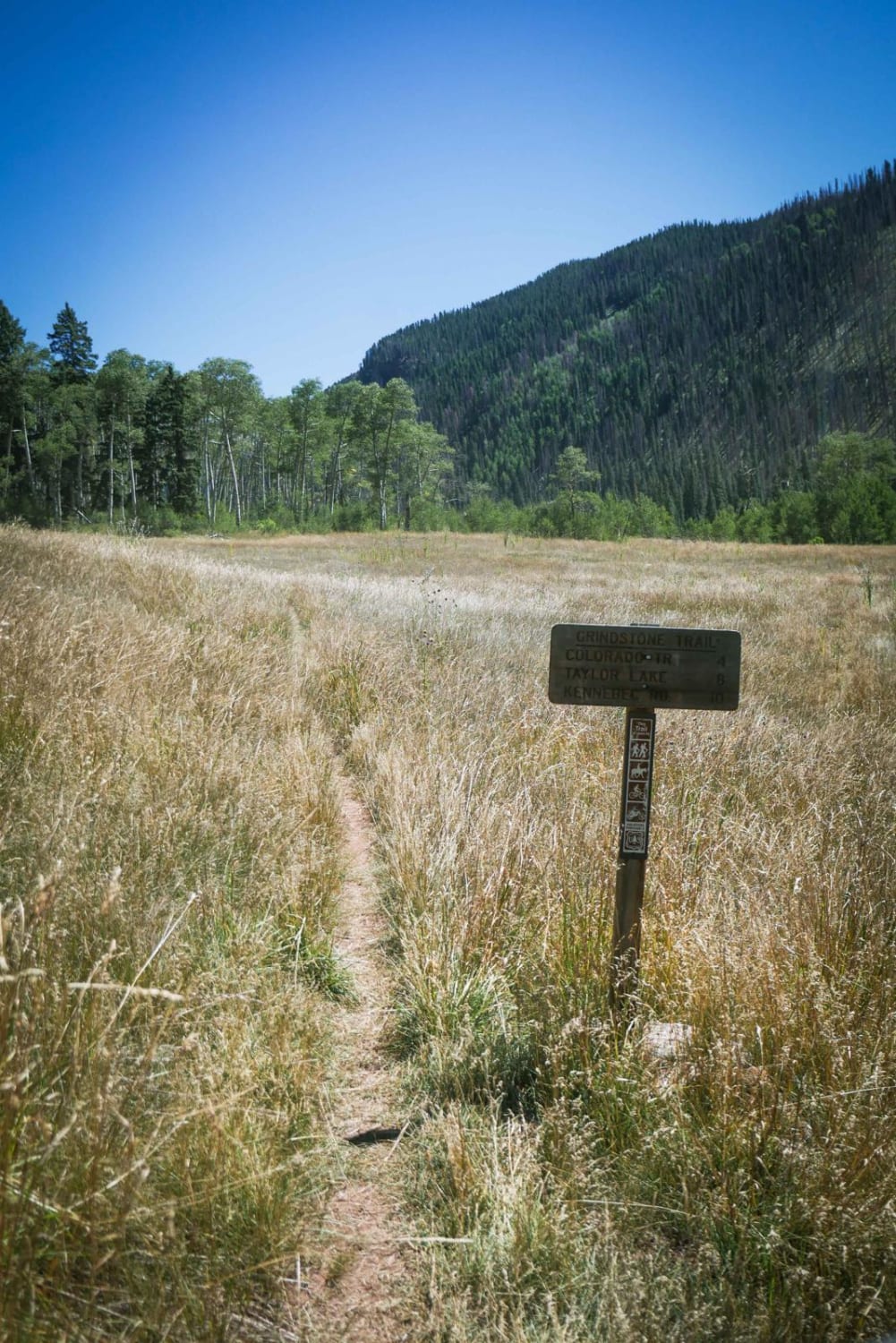
Trail Overview
This is a 3-mile-long single track through the Wolford Riding Area. The south end starts on County Highway 224, and the entrance to the trail is rutted right away with a big deep rut running vertically down the middle of the trail. It goes into a cool ravine, between thick Douglas fir trees, and pinyon pine. It follows the ravine, with loose rocks, bigger embedded rocks, and big banked corners, making Star Wars-style quick turns below the tall dirt walls of the ravine. The trail climbs out of the ravine after a quarter mile and goes along a fence line on the flat part of the mesa. It rides the tops of the mesas, but also dips in and out of the ravine again, with a steep descent down to it and back out. The trail on the flat part of the mesa has whoops, but is mostly fast and straight, with only a few embedded small rocks. It has some steeper climbs near the north end, coming up and over a saddle with a nice view of the sagebrush valley. It descends back down on the north side, the trail being a bit troughed, and ends on a dirt road.
Photos of 310
Difficulty
This is an easy desert single track that has a few harder features such as quick turns in a ravine, and a couple steeper climbs with loose dirt that make it a bit more challenging for newer riders.
Status Reports
310 can be accessed by the following ride types:
- Dirt Bike
310 Map
Popular Trails
Birdseye Gulch
Cty Rd 6 - Christ of the Mines Shrine
The onX Offroad Difference
onX Offroad combines trail photos, descriptions, difficulty ratings, width restrictions, seasonality, and more in a user-friendly interface. Available on all devices, with offline access and full compatibility with CarPlay and Android Auto. Discover what you’re missing today!