Weaver Lake
Total Miles
2.8
Technical Rating
Best Time
Spring, Summer, Fall
Trail Type
Full-Width Road
Accessible By
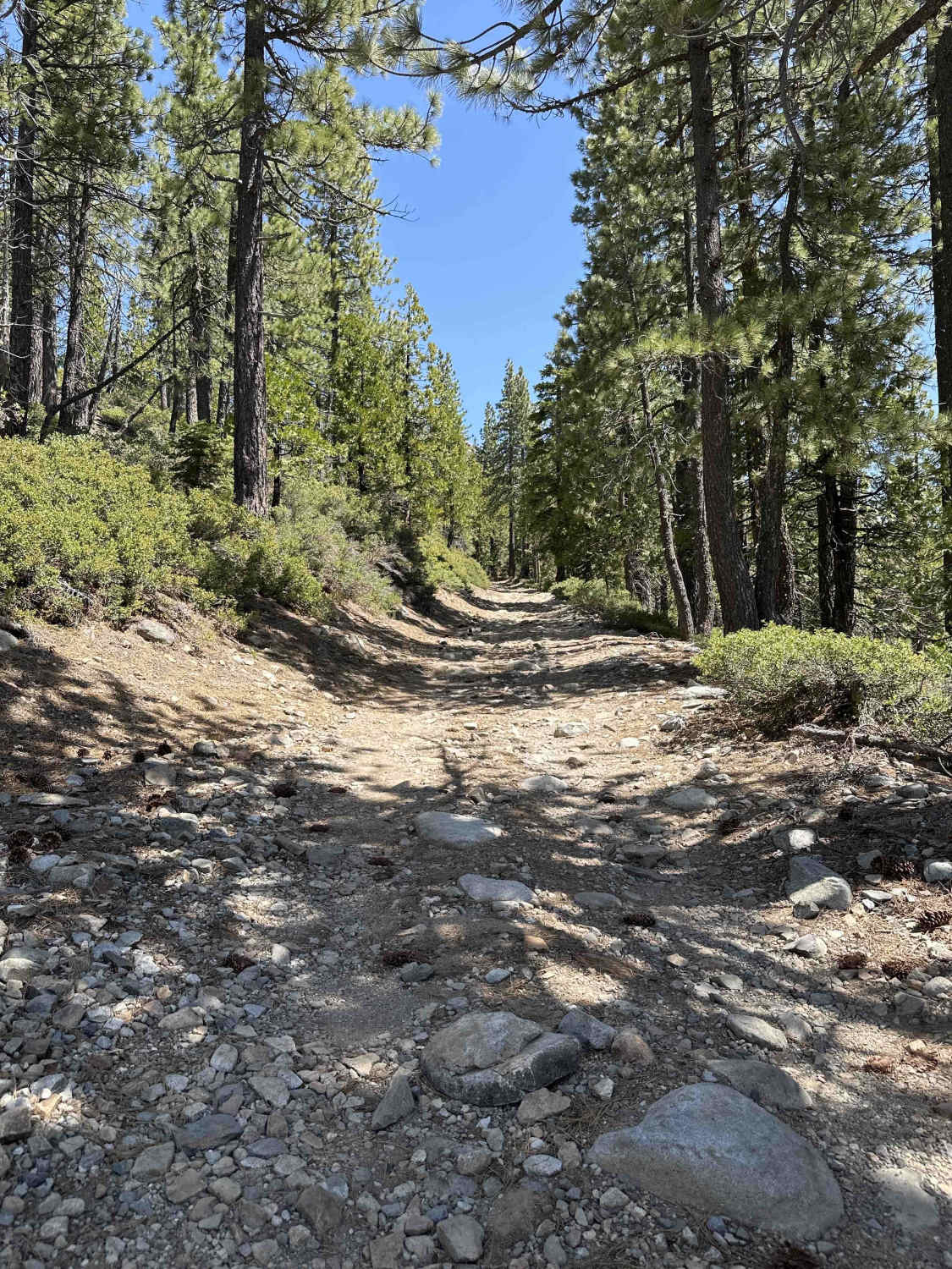
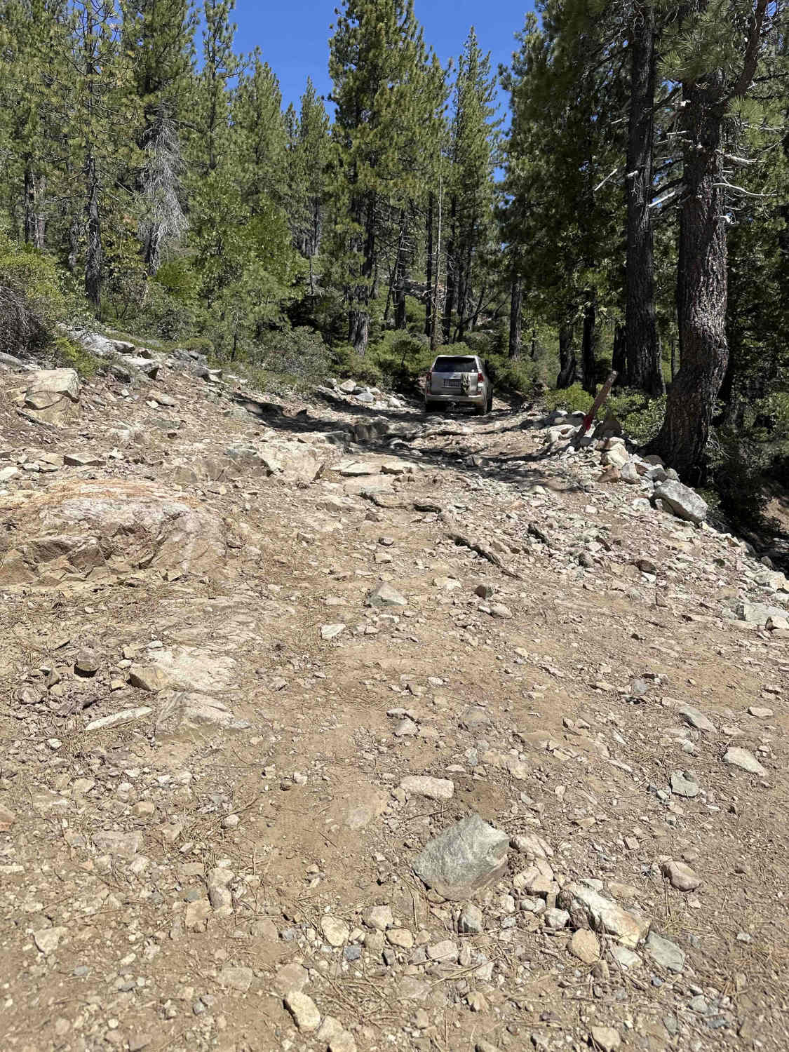
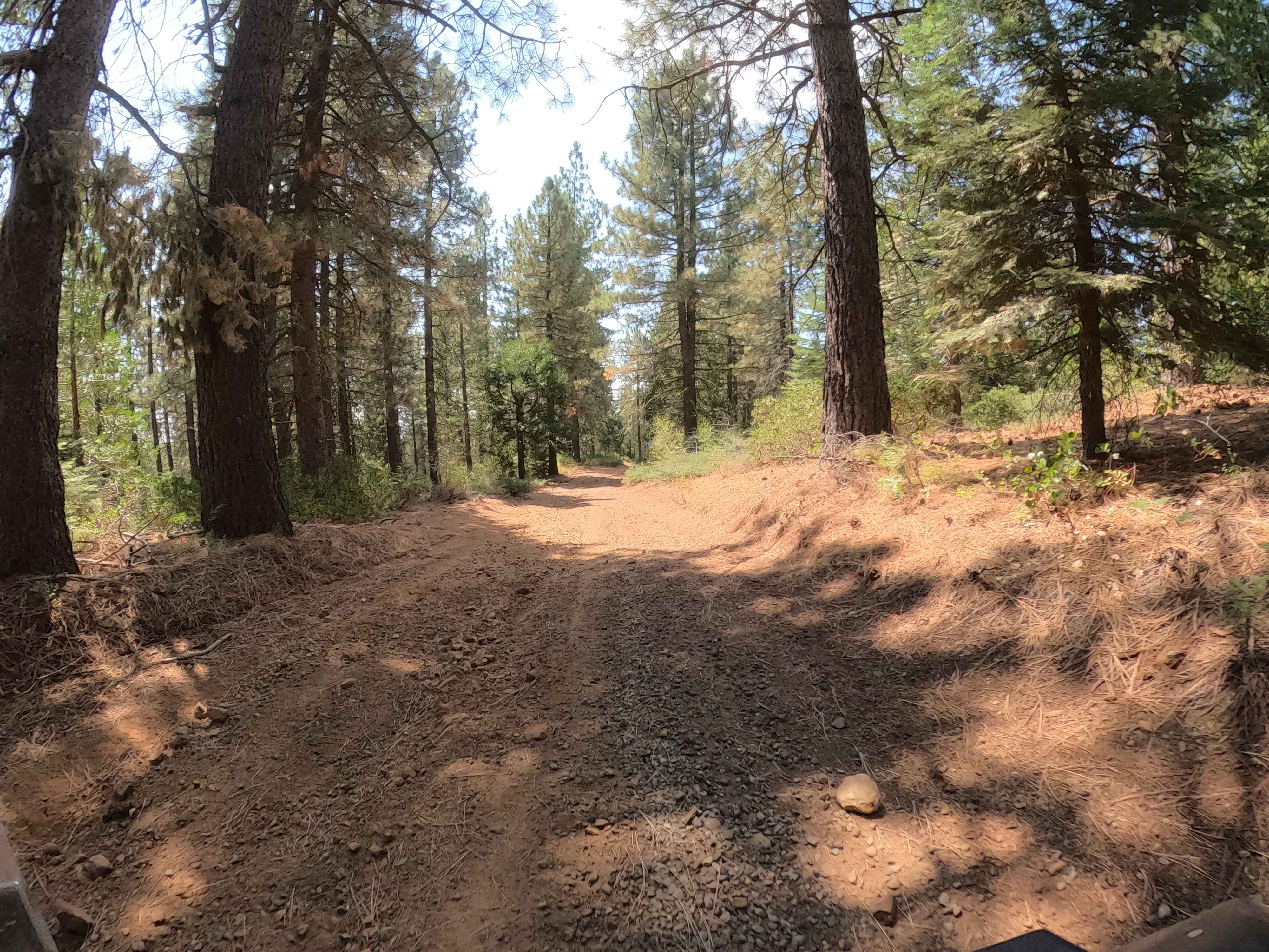
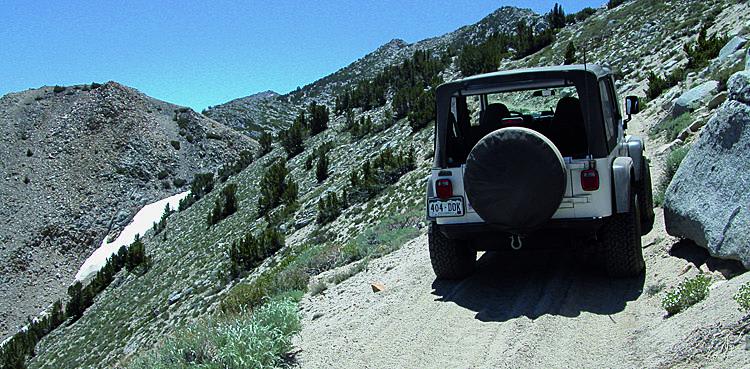
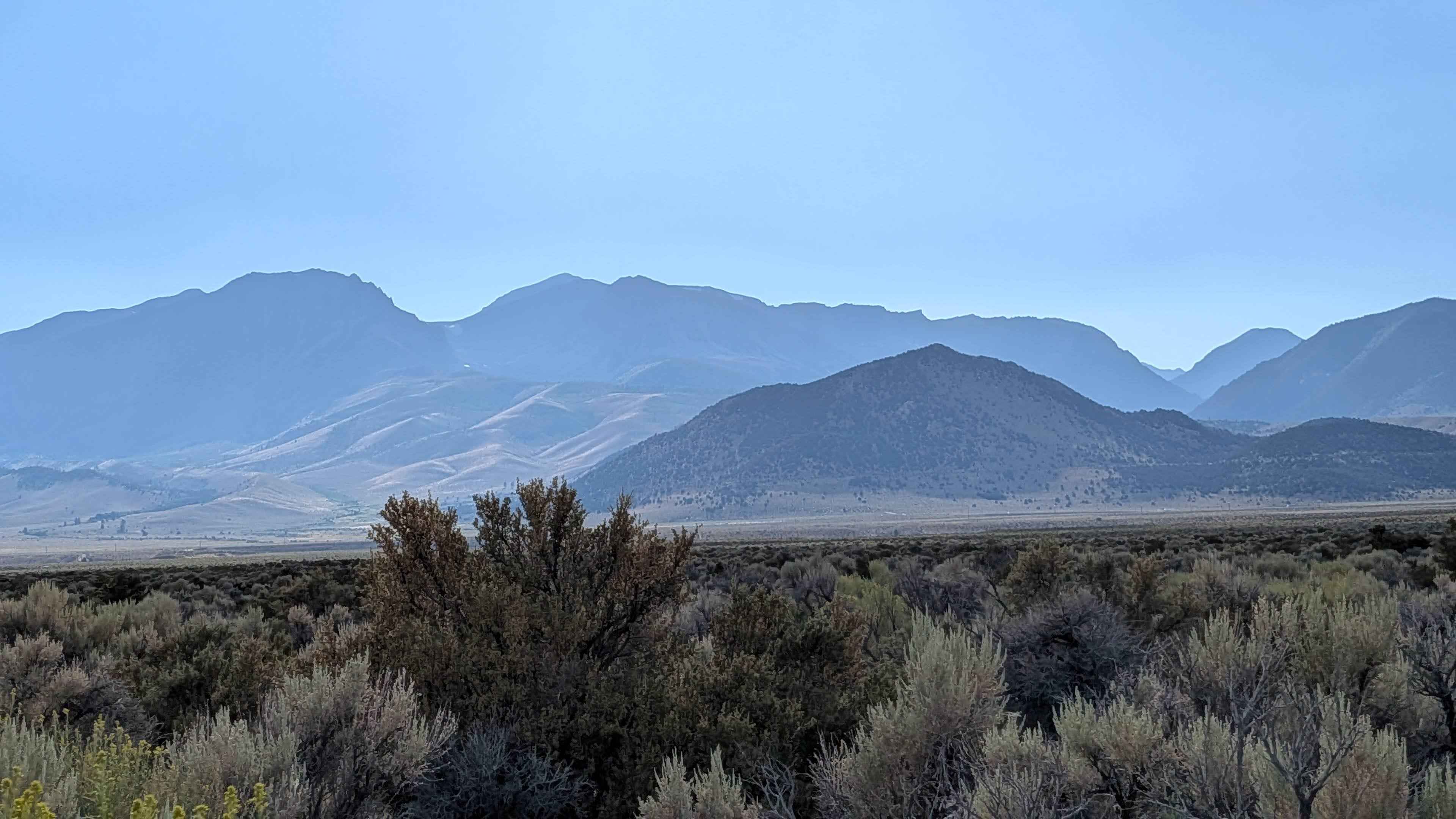
Trail Overview
Weaver Lake FS 843-043 is a trail in the Tahoe National Forest that branches off from Bowman Lake Road. The trail starts at 5600 feet, climbs to 5900 feet, and descends to 5300 feet. The trail begins with a climb up over rocks and roots and has some scenic views of Lake Bowman. The trail continues upwards with loose rock, roots, and ruts to navigate, then descends its way to McMurray Lake, where there are a few spots to camp near the lake shore. Beyond McMurray Lake, the route continues toward Weaver Lake and becomes progressively more technical. Rocks, roots, and ruts are more frequent, and uneven sections will have you picking careful lines if in a stock 4x4. The trail can become significantly more challenging in wet or snowy conditions.
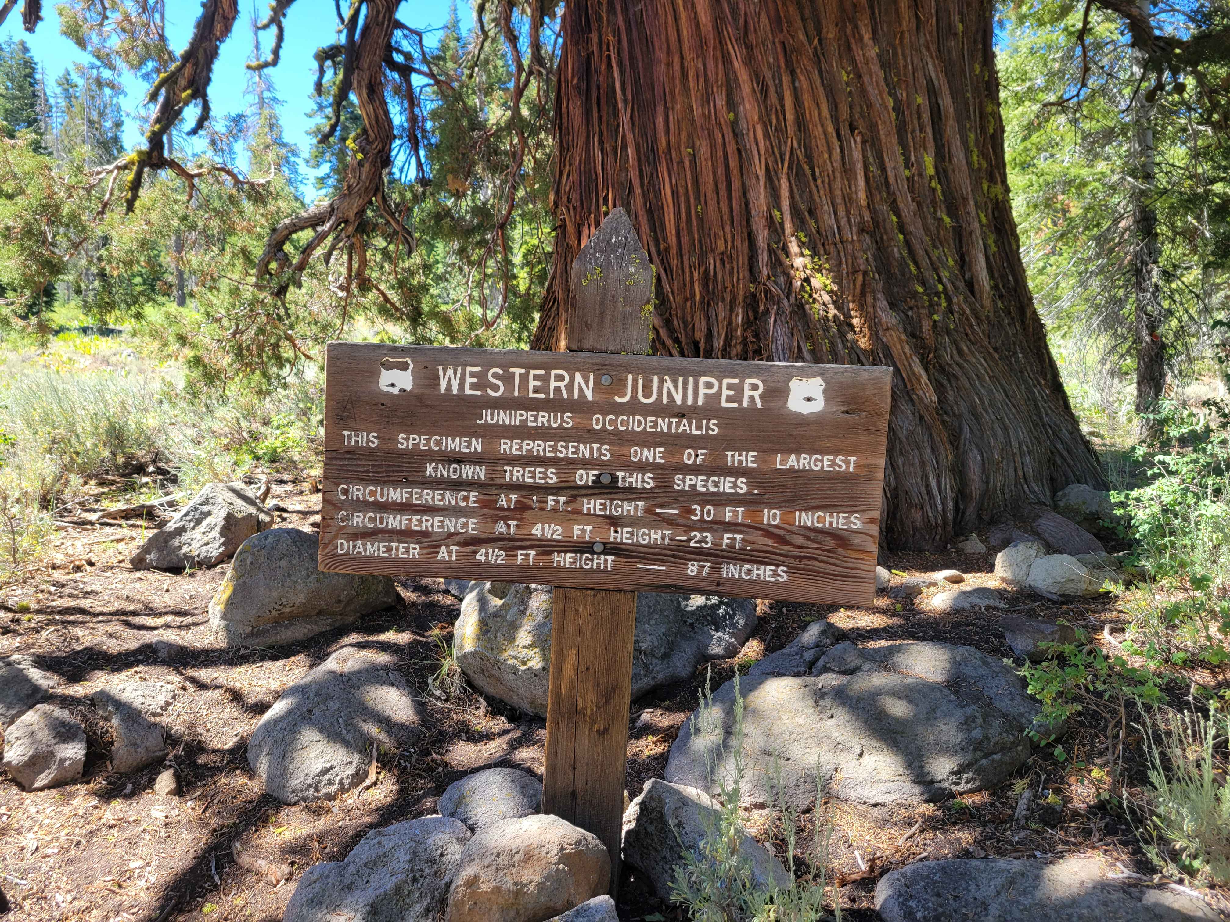
Photos of Weaver Lake
Difficulty
Consistent uneven terrain with rocks, small ledges, and shallow ruts. Light technical driving where you'll need to pick lines in a few spots, but nothing extreme. Narrow sections where trees close in, with limited places to pass or turn around.
Status Reports
Weaver Lake can be accessed by the following ride types:
- High-Clearance 4x4
- SUV
- SxS (60")
- ATV (50")
- Dirt Bike
Weaver Lake Map
Popular Trails
Francis Junction - FS 6S006
Panum Crater Road - FS 1S28
Verdi-Sardine-Loyalton
The onX Offroad Difference
onX Offroad combines trail photos, descriptions, difficulty ratings, width restrictions, seasonality, and more in a user-friendly interface. Available on all devices, with offline access and full compatibility with CarPlay and Android Auto. Discover what you’re missing today!