Wagner Ridge Road - FS 2S08
Total Miles
5.2
Technical Rating
Best Time
Summer, Fall, Spring
Trail Type
Full-Width Road
Accessible By
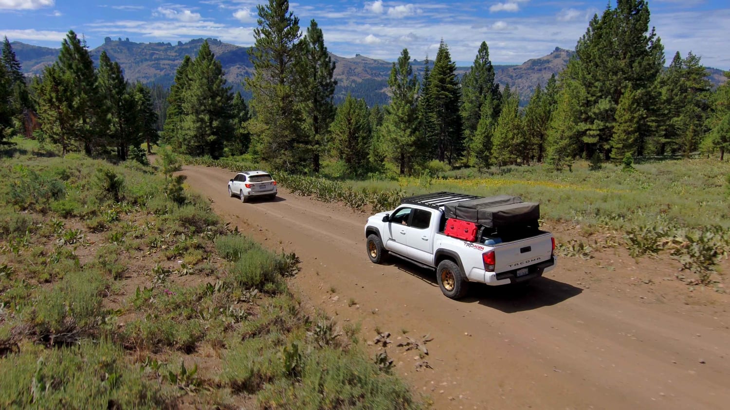
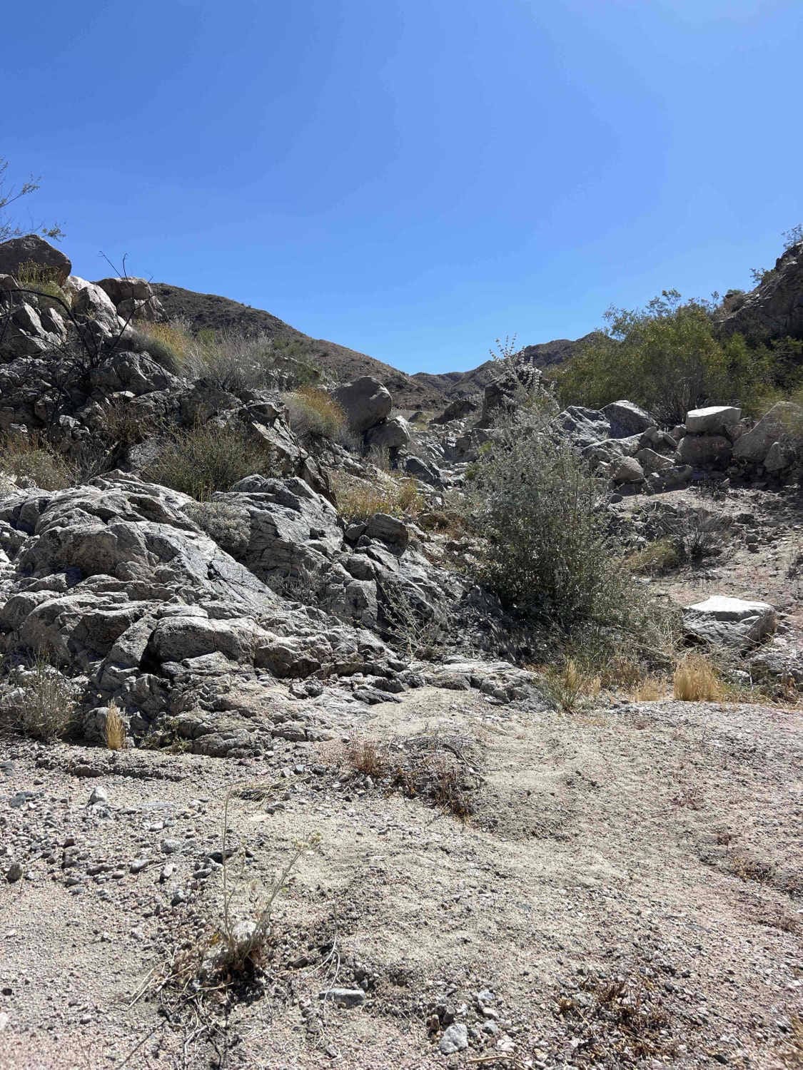
Trail Overview
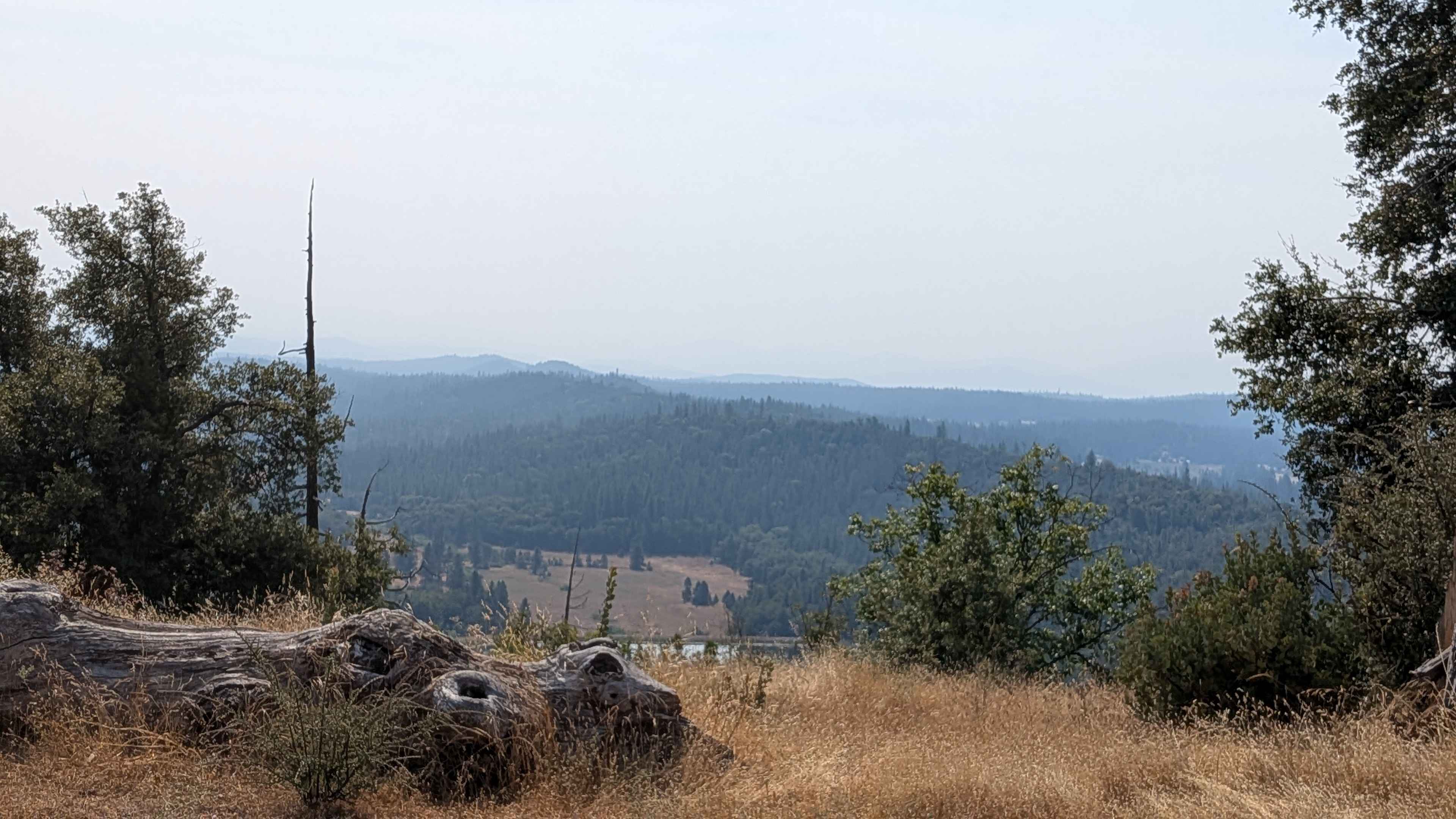
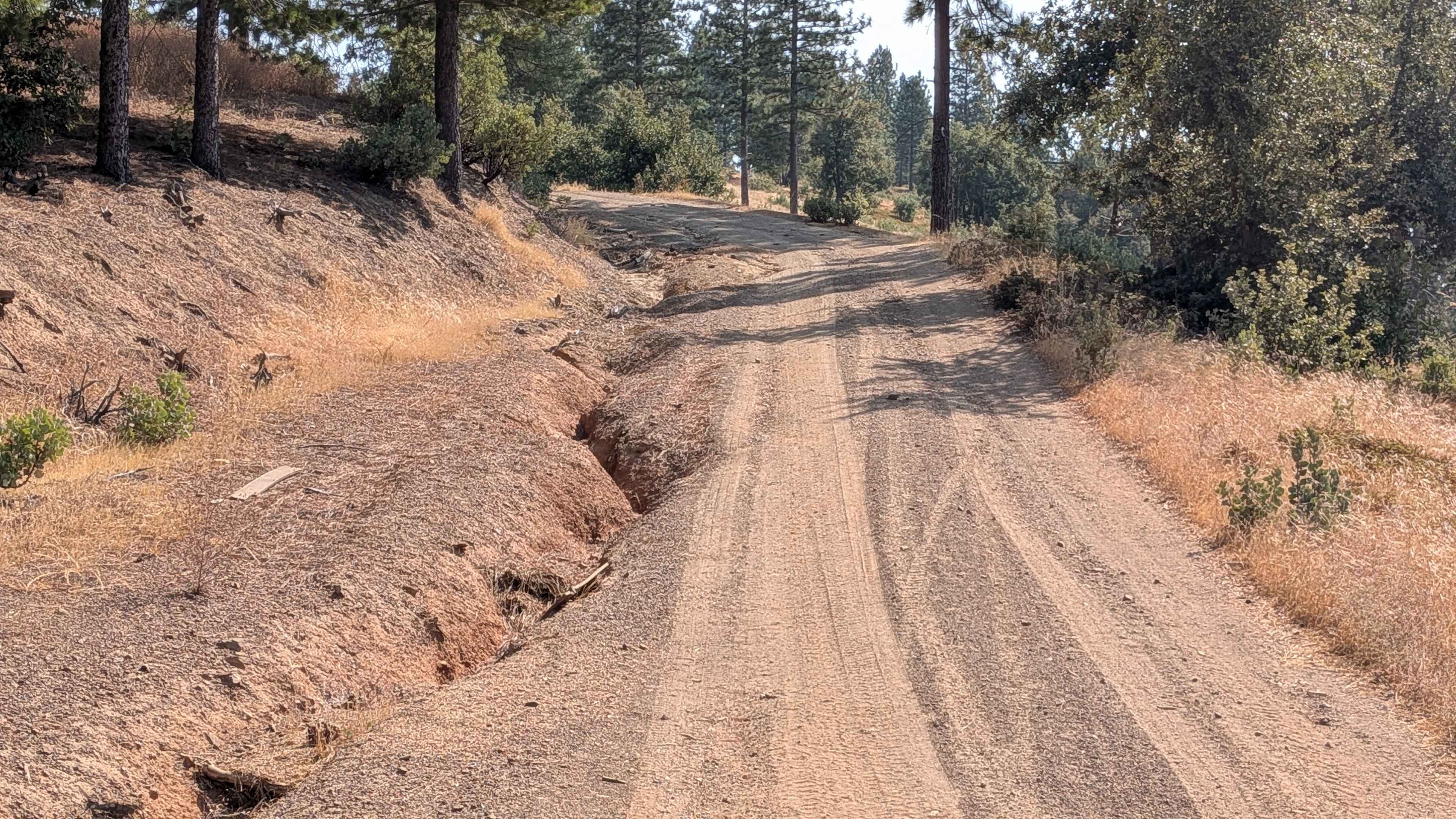
This trail climbs over 600 feet and drops almost 1,200 feet across just over 5 miles of diverse terrain that spans BLM land and Stanislaus National Forest, though it begins on private land requiring respectful passage. Starting at Smith Station Road and ending on Wild Rose Road, the route begins as a hard-packed sand and dirt trail that is one and a half vehicles wide, with drainage ruts along the sides of the road that require attention during navigation. The trail runs along shelf roads through forests of various tree species, creating scenic driving with natural diversity and periodic exposure. Cell service is intermittent throughout the route, making communication unreliable in remote sections. Dusty conditions persist throughout the journey, particularly during dry periods and when following other vehicles. A short section features very deep ruts, but a well-established bypass allows safe passage around this obstacle. Several low-hanging tree branches pose hazards for tall vehicles, requiring awareness of overhead clearance. At mile 1, spectacular 360-degree views of the surrounding hills and mountains provide excellent photo opportunities and scenic rewards. A small section of private land at 1.5 miles includes old buildings marked with no trespassing signs, requiring respectful behavior and adherence to established routes.
Photos of Wagner Ridge Road - FS 2S08
Difficulty
This trail receives a difficulty rating of 2, indicating moderate to challenging conditions that require intermediate off-road driving skills and proper equipment. High clearance vehicles are highly recommended due to the numerous deep ruts, shelf road sections, and varied terrain challenges that demand confident vehicle control and experience with technical obstacles.
Status Reports
Wagner Ridge Road - FS 2S08 can be accessed by the following ride types:
- High-Clearance 4x4
- SUV
- Dirt Bike
Wagner Ridge Road - FS 2S08 Map
Popular Trails
San Francisquito Motorway
Fargo Canyon
The onX Offroad Difference
onX Offroad combines trail photos, descriptions, difficulty ratings, width restrictions, seasonality, and more in a user-friendly interface. Available on all devices, with offline access and full compatibility with CarPlay and Android Auto. Discover what you’re missing today!