Utica-Union Byway
Total Miles
1.2
Technical Rating
Best Time
Summer, Fall
Trail Type
High-Clearance 4x4 Trail
Accessible By
Trail Overview
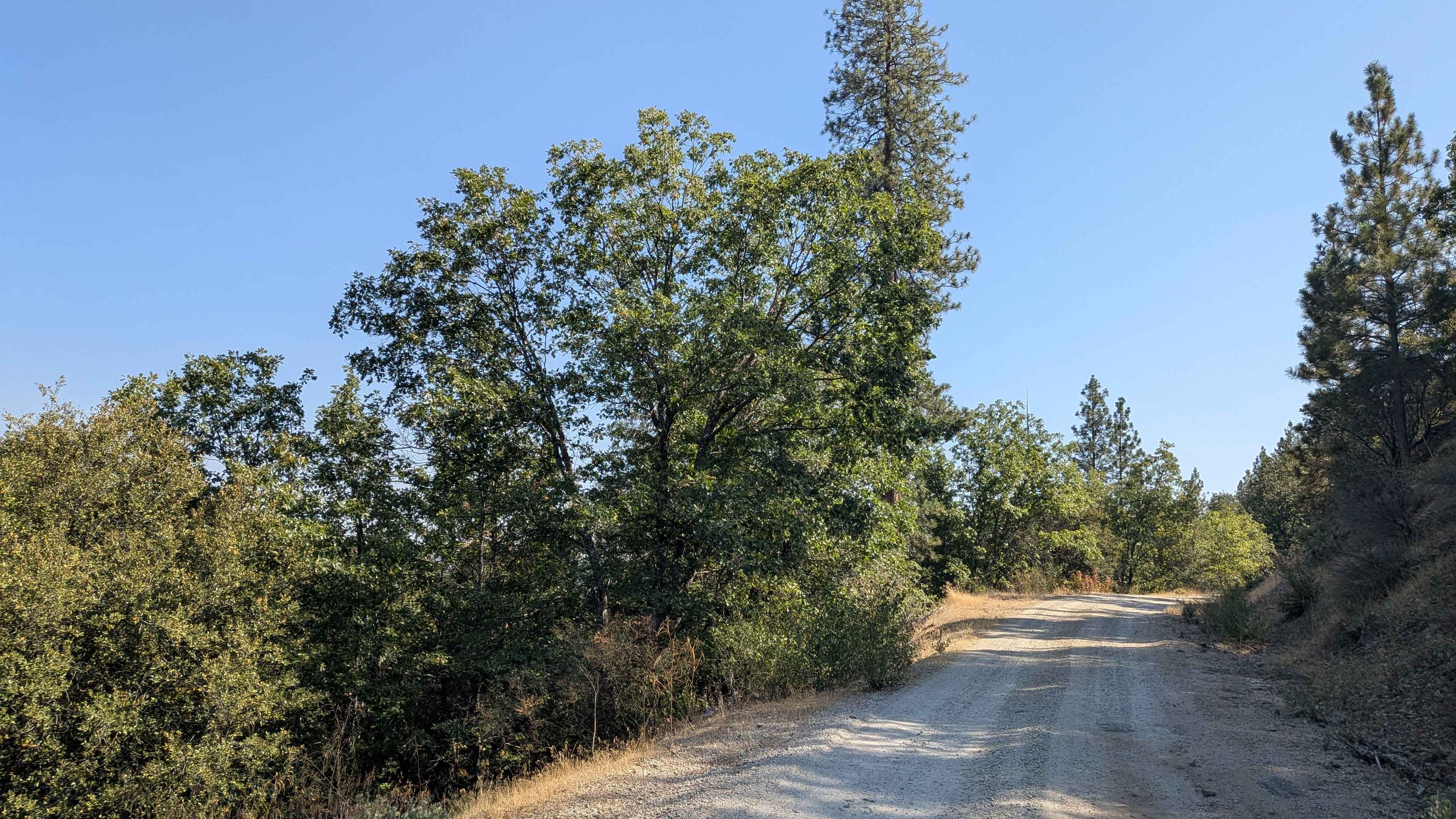
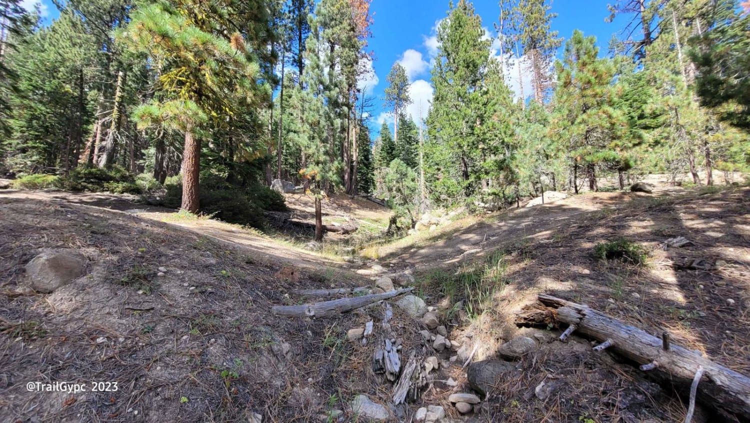
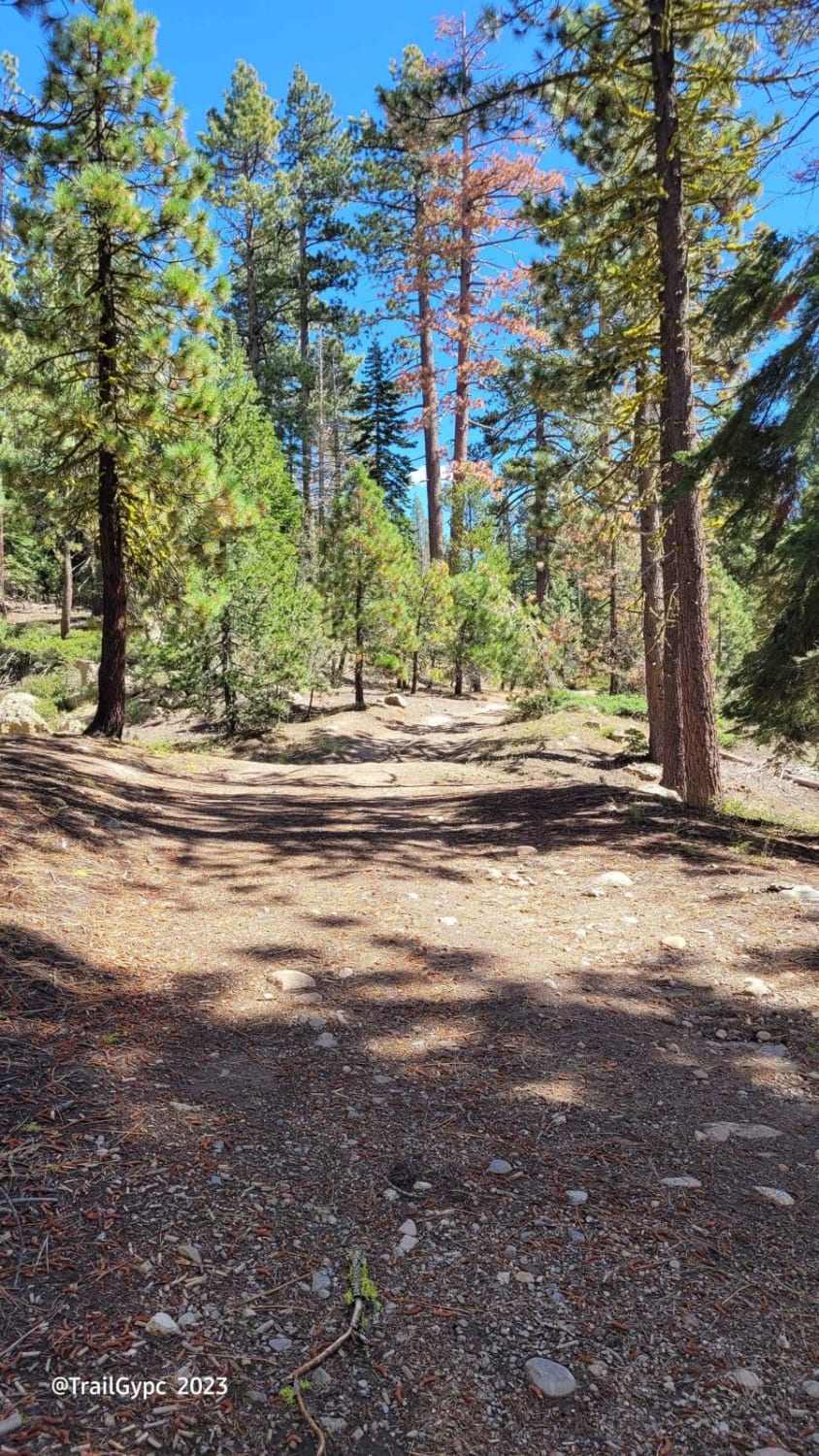
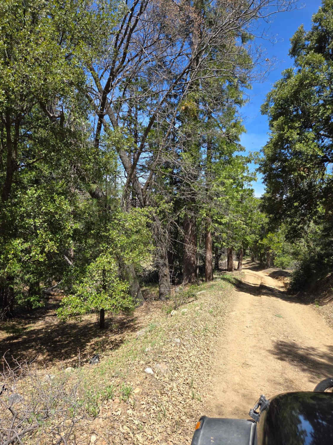
A dirt, granite rock route that gets your tires off the pavement and onto a dirt byway for a mile over to Utica/Union Reservoirs. You will encounter some deep water-type bars and two small rock gardens. The trail is one vehicle wide, Jeep-sized, and there are several primitive camp spots along the way. No low clearance vehicles-high clearance only. 4WD may be needed in spots as well as 4-low to help your vehicle out in the rock garden (depending on your gearing). There's nothing really hard and it's a great beginner route.
Photos of Utica-Union Byway
Difficulty
This route is closed come winter and opened back up per the USFS discretion. There are two small rock gardens to test your navigational skills-nothing hard, but a great short beginner's route. Depending on your gearing, just use 4-low to help your vehicle out. You may or may not need 4WD in spots due to loose gravel or mud/snow. There are a few downed pines but the route has been redirected around them. If you encounter any downed trees or roadblocks on this route, help out by moving them to the side. This is a great route to meander through a pine forest on your way up to Utica/Union Reservoirs as well as the Slick Rock 4WD route. Only street-legal vehicles are allowed. Pack In, Pack Out, Leave No Trace, Tread Lightly ethics apply at all times. Check the Calaveras Ranger Station at Hathaway Pines on the way up or online for Motor Vehicle Use Maps as well as campfire use restrictions and a permit.
History
A lot of OHV routes in this forest were once old log skidder trails as well as wagon routes.
Status Reports
Utica-Union Byway can be accessed by the following ride types:
- High-Clearance 4x4
Utica-Union Byway Map
Popular Trails

Finning Mill Road

Moore Creek Road - FS 1S29

Alder Creek Road - FSR 1n16
The onX Offroad Difference
onX Offroad combines trail photos, descriptions, difficulty ratings, width restrictions, seasonality, and more in a user-friendly interface. Available on all devices, with offline access and full compatibility with CarPlay and Android Auto. Discover what you’re missing today!


