Tri Tip - FS 26E360
Total Miles
1.0
Technical Rating
Best Time
Summer, Fall
Trail Type
Full-Width Road
Accessible By
Trail Overview
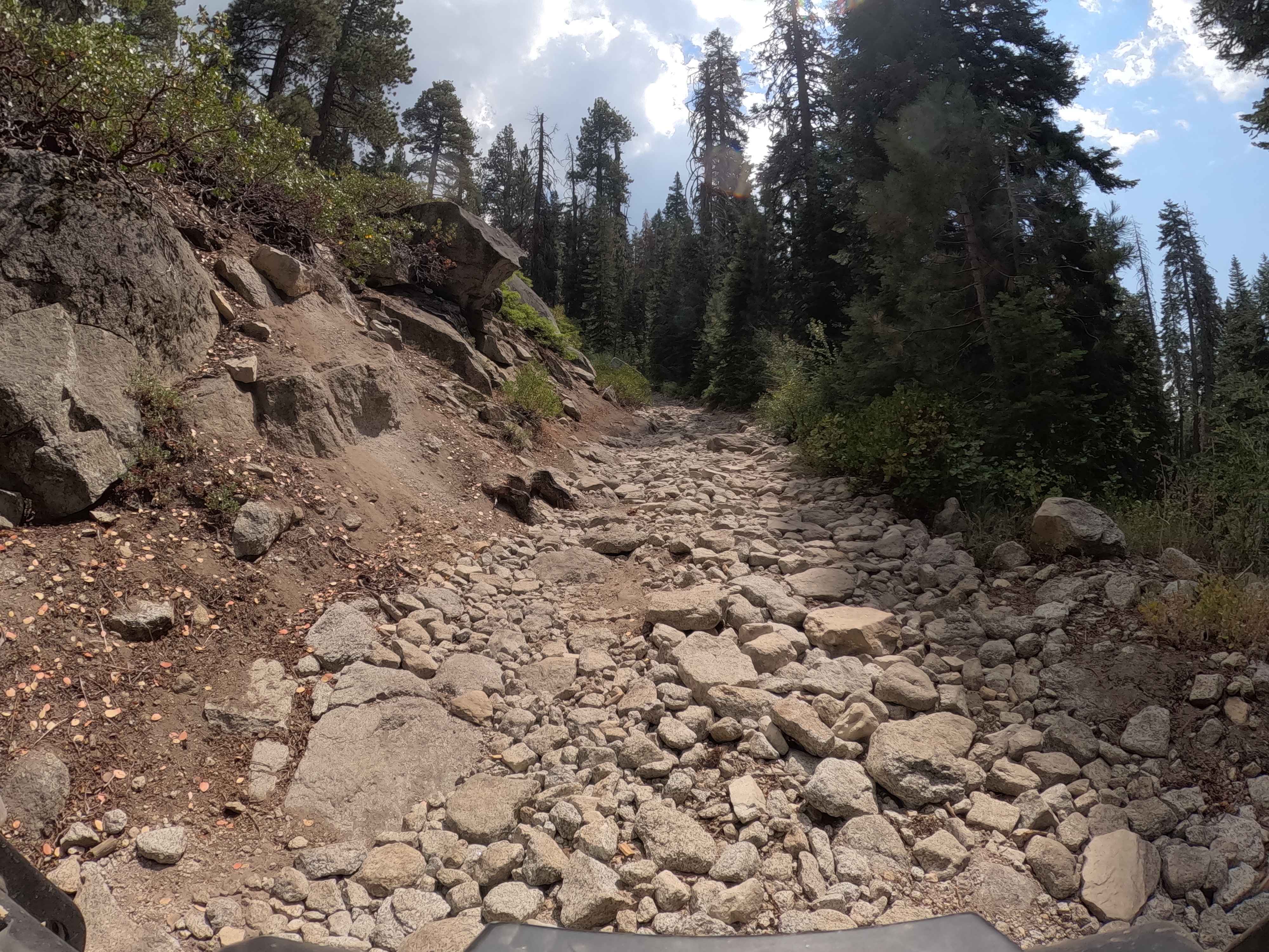
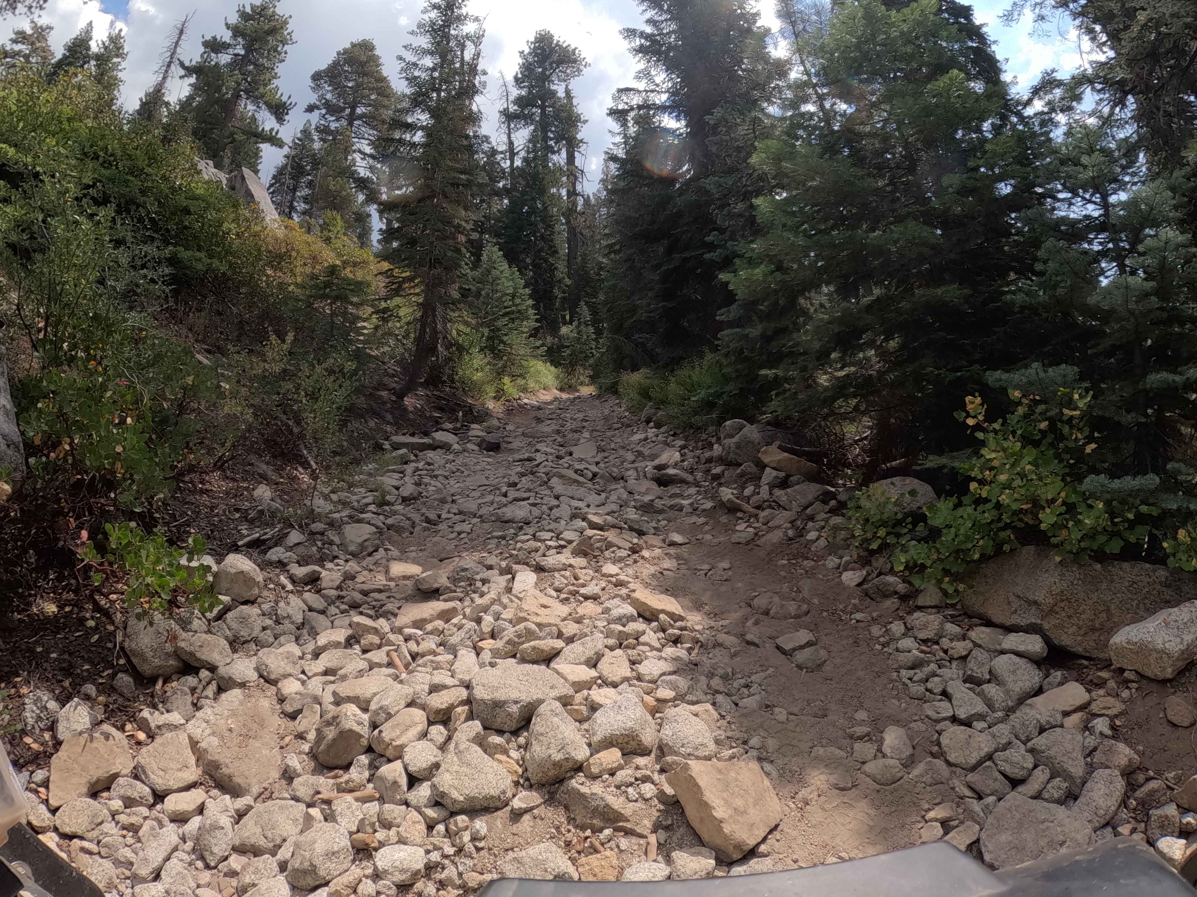
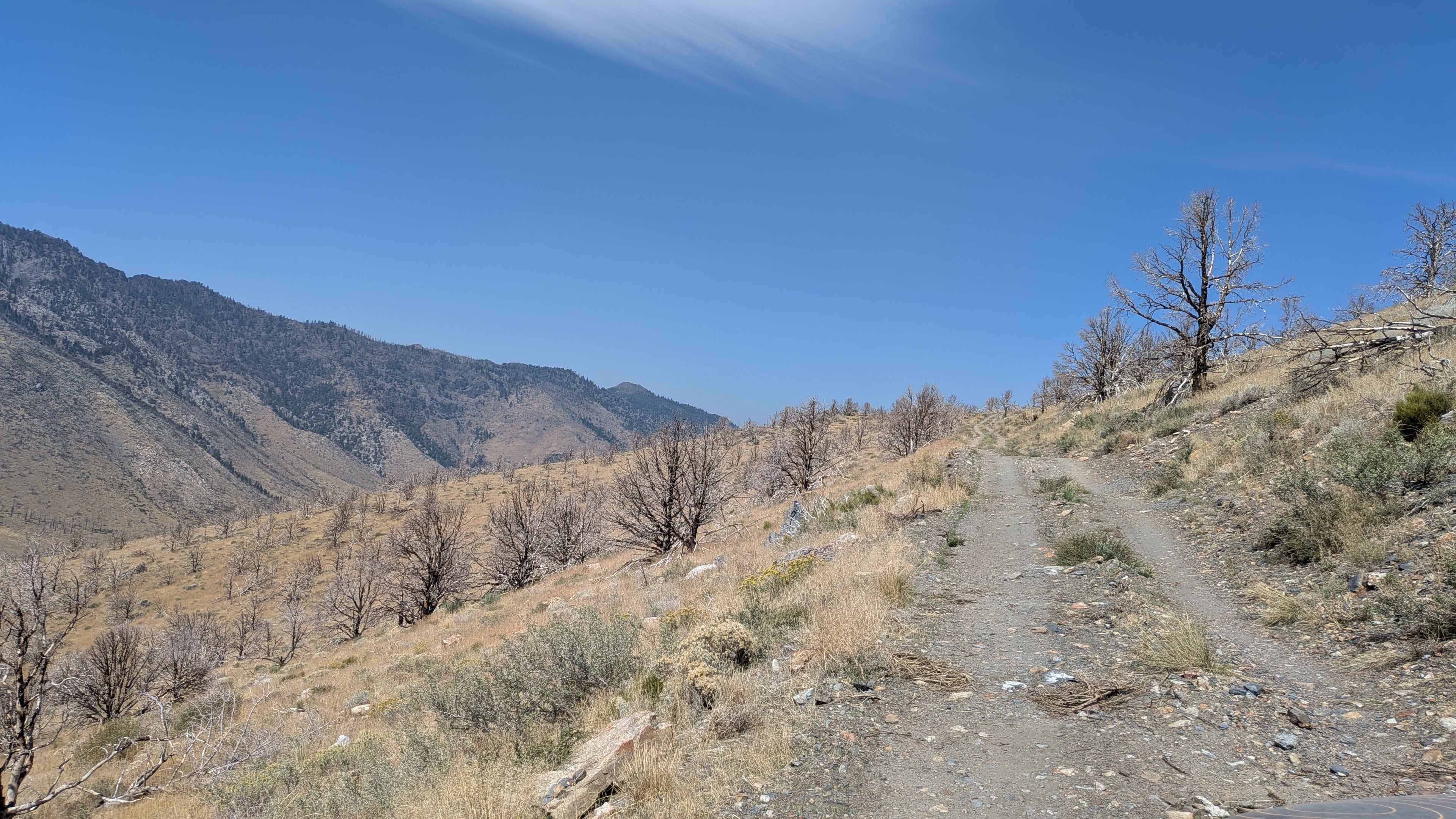
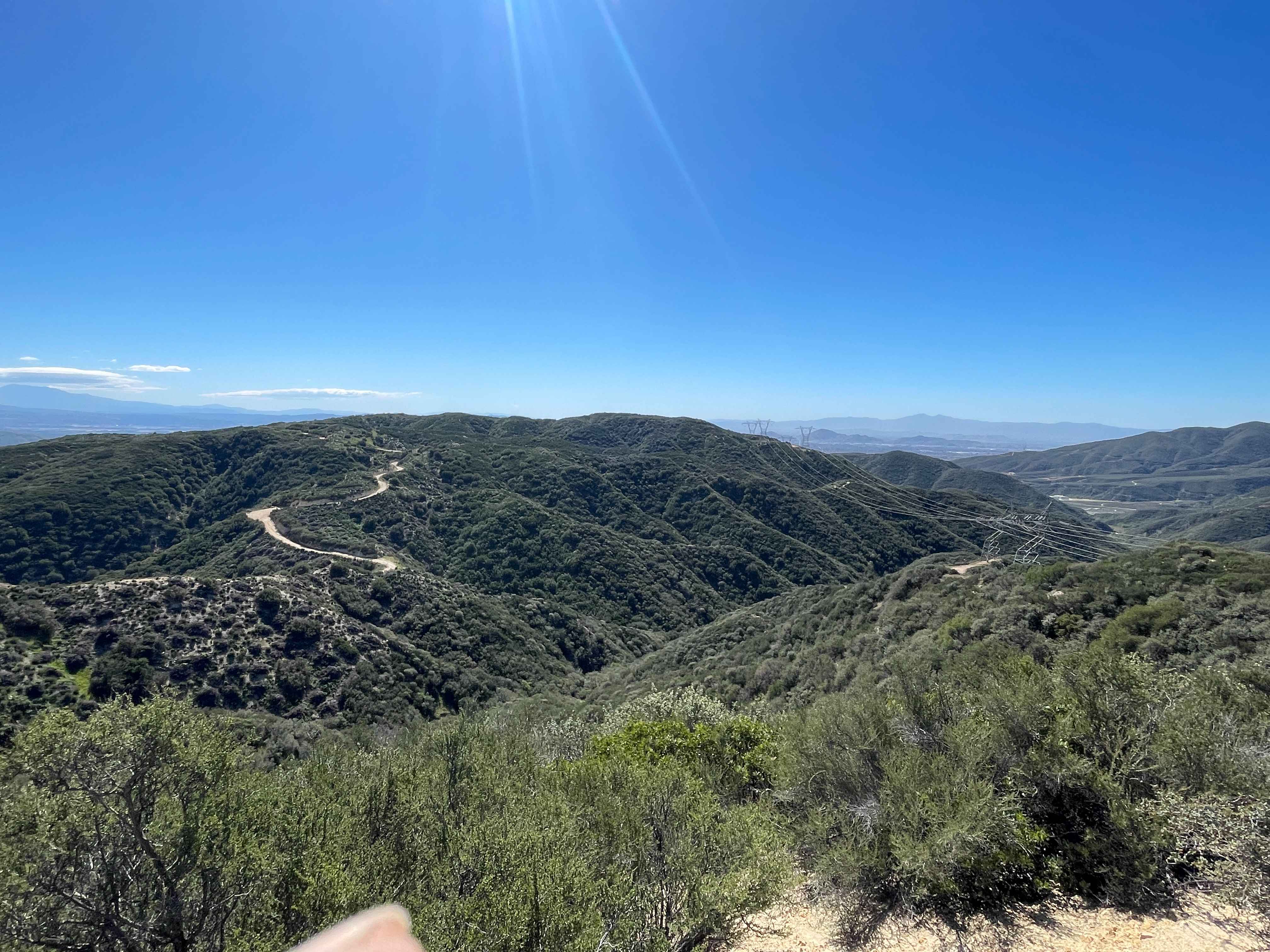
This 1.0-mile spur is a high-altitude technical climb to a scenic ridge. The trail is a continuously challenging two-track featuring steep grades and constant, loose rock gardens (visible in photos) that demand slow, precise wheel placement. Although the trees along the immediate corridor largely survived the 2020 Creek Wildfire (providing shade). This trail links to the adjacent 9S010W - Outlook trail to complete a useful connector loop in this portion of the Bald Mountain trail network.
Photos of Tri Tip - FS 26E360
Difficulty
This trail demands 4X4 due to the pervasive rocky tread and steep grades. High clearance is mandatory to pass the numerous fist-sized rocks and embedded boulders (visible in photos). 4 Wheel Drive-Low is required to manage torque and maintain stability during the 630-foot climb. This is a technical, low-speed challenge that requires experience with line selection, but stops short of requiring a locker.
Status Reports
Tri Tip - FS 26E360 can be accessed by the following ride types:
- High-Clearance 4x4
- SUV
Tri Tip - FS 26E360 Map
Popular Trails

Napoleon Canyon Road - FS 32092
Leviathan Bypass - FS 31353
Lower Lytle Creek Divide - 3N31
The onX Offroad Difference
onX Offroad combines trail photos, descriptions, difficulty ratings, width restrictions, seasonality, and more in a user-friendly interface. Available on all devices, with offline access and full compatibility with CarPlay and Android Auto. Discover what you’re missing today!