The Highest Peak of the Sierra Pelona
Total Miles
5.9
Technical Rating
Best Time
Spring, Fall, Summer
Trail Type
Full-Width Road
Accessible By
Trail Overview
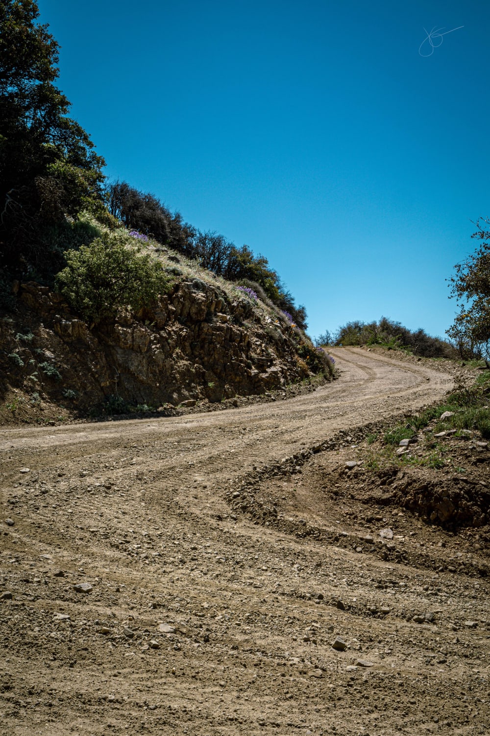
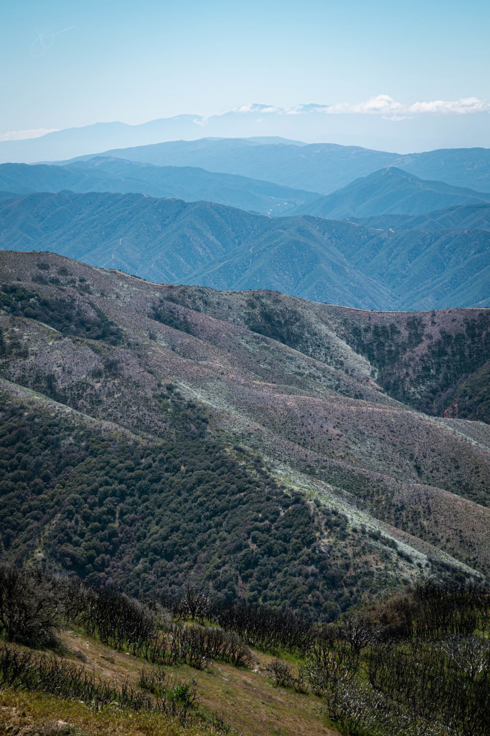
Take a quick, but pretty drive up to Burnt Peak. At 5,791' above sea level, this is the highest peak of the Sierra Pelona, which is one of the lower elevation ranges within California's Transverse Ranges. The ride to the top is relatively easy and can be done entirely in 2WD if the trail is dry. Make sure to bring a camera because the views from the top are breathtaking!
Photos of The Highest Peak of the Sierra Pelona
Difficulty
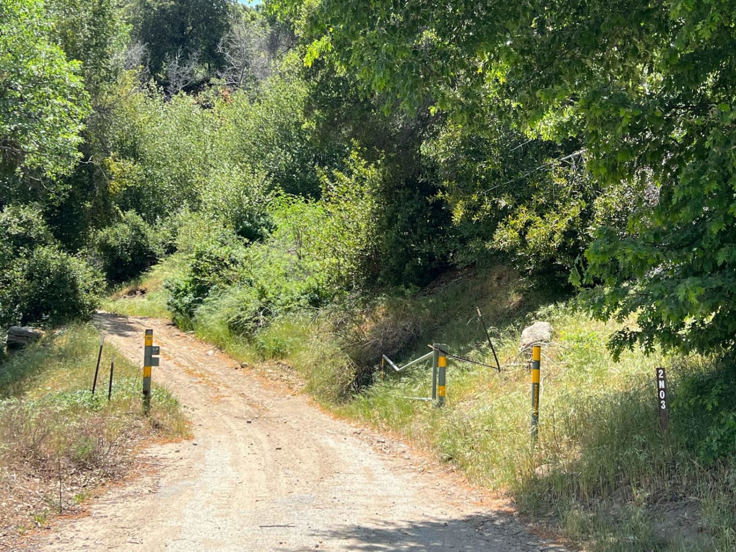
Most of this portion of the Angeles National Forest was closed to the general public between fall 2020 and April 2022 due to the Lake Fire closure area. Expect to encounter the occasional rut or small rock as this road was used to help fight the fire. Otherwise, this is a simple trek!
History
This area was recently burned in the Lake Fire of August-September 2020.
Status Reports
The Highest Peak of the Sierra Pelona can be accessed by the following ride types:
- High-Clearance 4x4
- SUV
The Highest Peak of the Sierra Pelona Map
Popular Trails

Zaca Ridge Road
June Lake Shortcut - FS 1S32
5s007a - Beasore - A Spur
The onX Offroad Difference
onX Offroad combines trail photos, descriptions, difficulty ratings, width restrictions, seasonality, and more in a user-friendly interface. Available on all devices, with offline access and full compatibility with CarPlay and Android Auto. Discover what you’re missing today!
