16EV248
Total Miles
0.9
Technical Rating
Best Time
Spring, Fall
Trail Type
Single Track
Accessible By
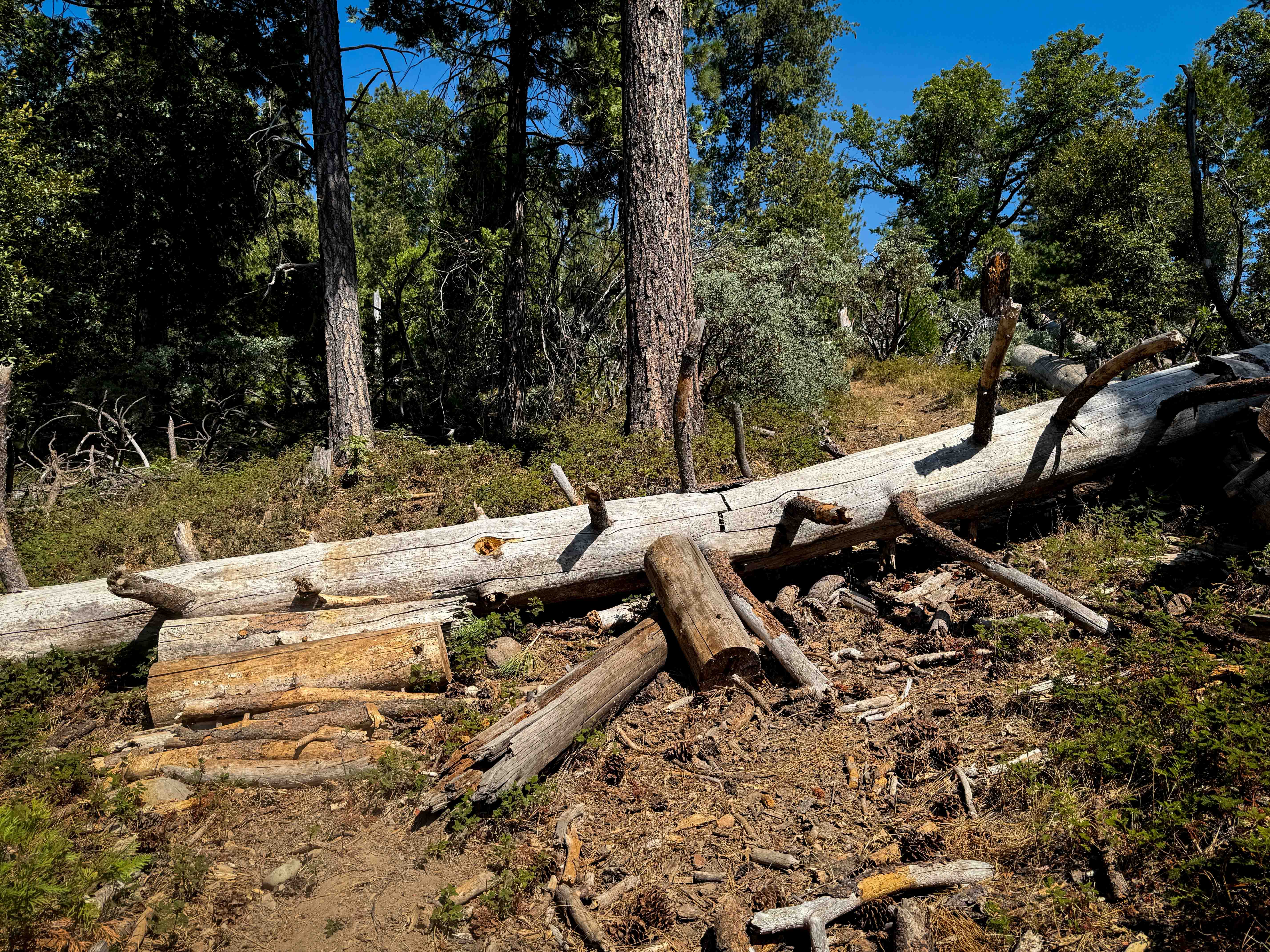
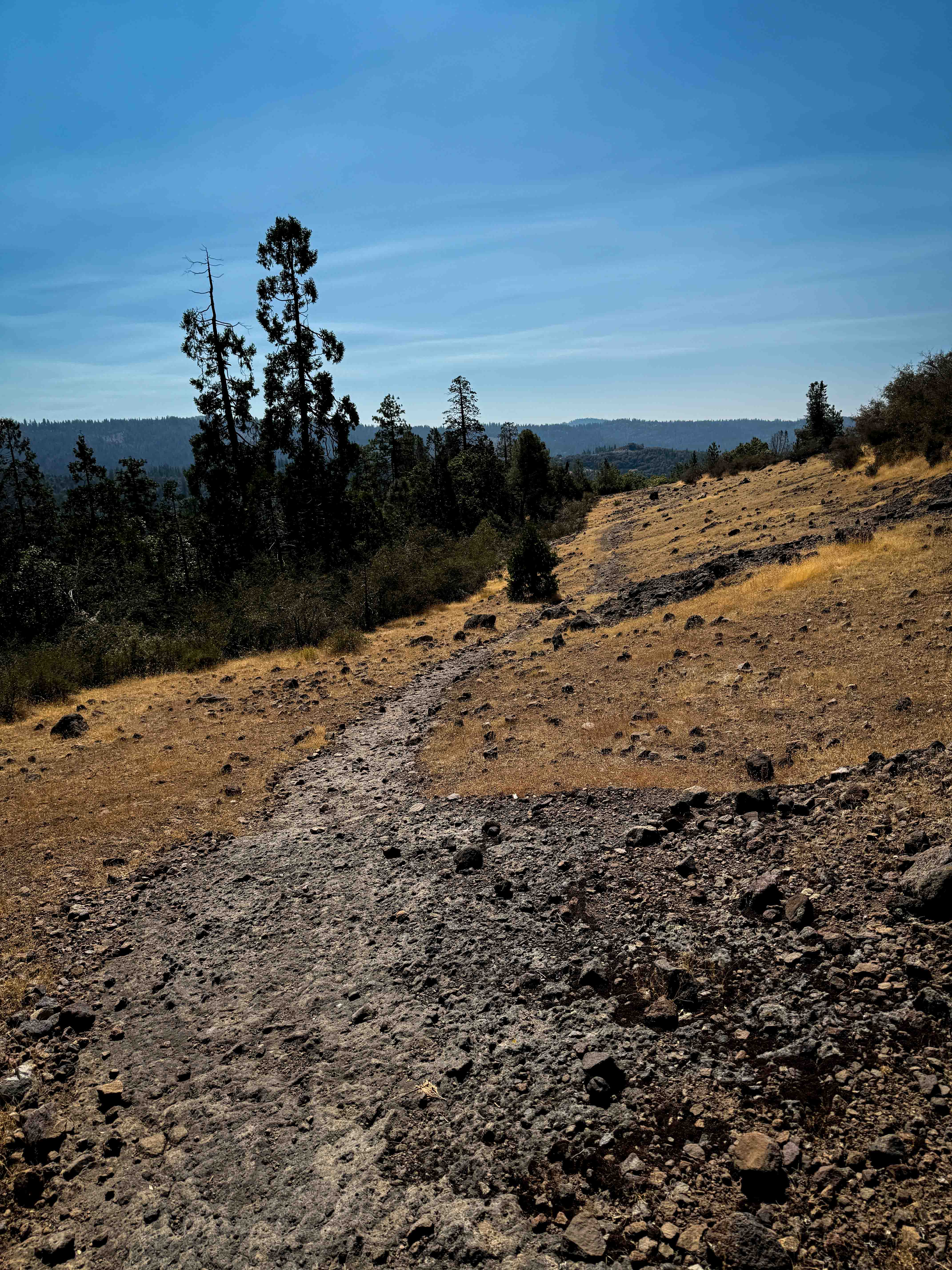
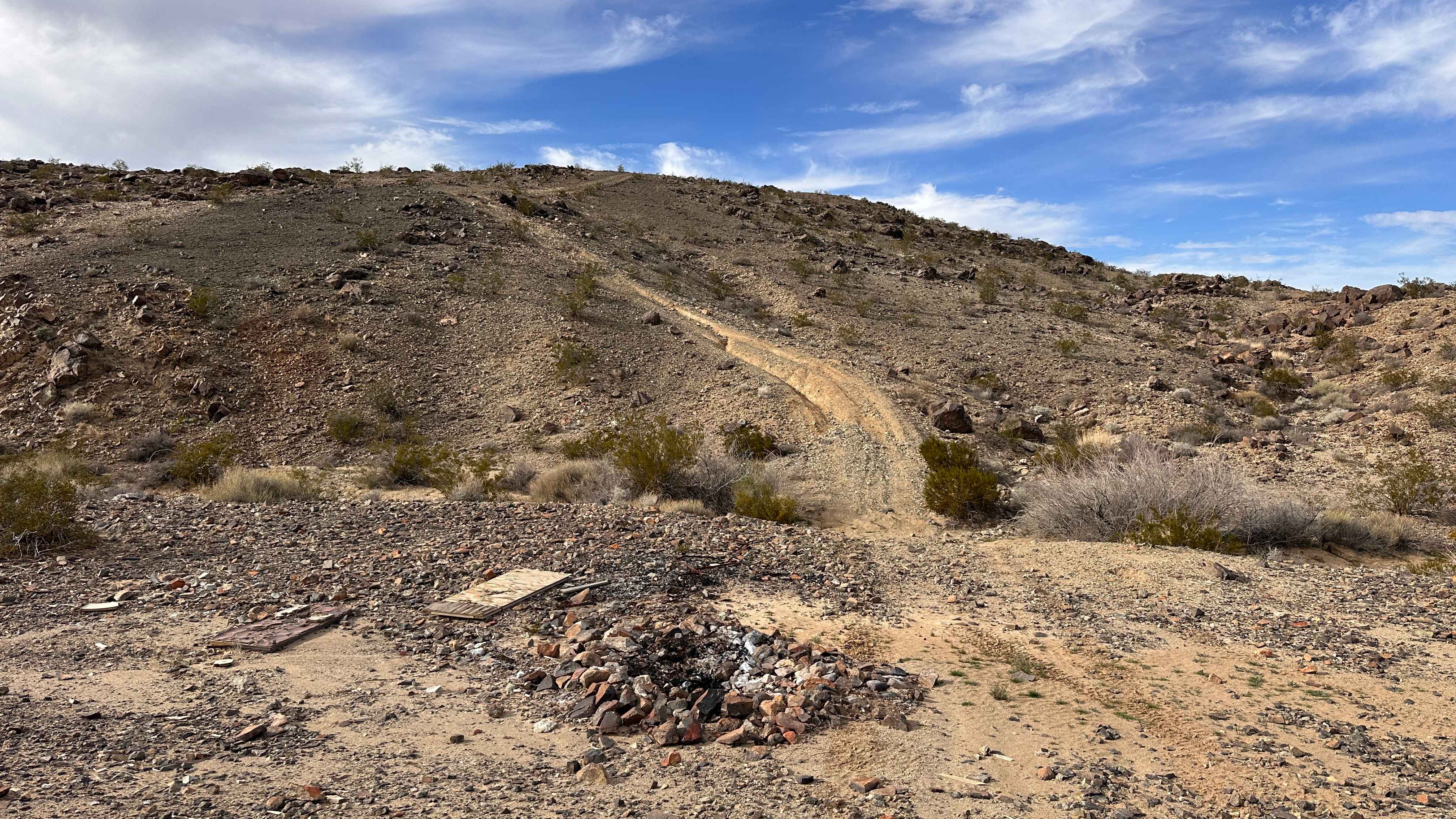
Trail Overview
This trail climbs up from 16EV54 and connects north to FS 3N63. As of September 2025, there were tons of large logs down that hadn't been cleared, which will have to be ridden over or cut. Some are skinnier logs elevated above the trail, making it even more difficult to jump or lift over. Some will make the trail impassable for average riders. In its current state, it should only be ridden by experienced riders looking for a log crossing challenge. It climbs up through the forest on a narrow path between the thick scrub oak lining the trail, following a steep grade for most of the route. Near the top of the hill, it gets drier and sun-exposed, with loose, sharp rocks and overgrown grass that makes the trail fainter. It has a lot of tight curves near the top, and a couple of bigger embedded rock faces, before ending on the road. This would be a useful connector to get to the trails north of 16EV54 if it becomes more rideable and cleared of the many logs.
Photos of 16EV248
Difficulty
This is an upper intermediate difficulty due to the many logs that will be very difficult to pass. The trail without the logs would be more of a 4 difficulty, with just the steep grade to consider.
Status Reports
16EV248 can be accessed by the following ride types:
- Dirt Bike
16EV248 Map
Popular Trails
Woolstalf Meadow 34E42
Santa Rosa Truck Trail 7S02
Campfire Lookout
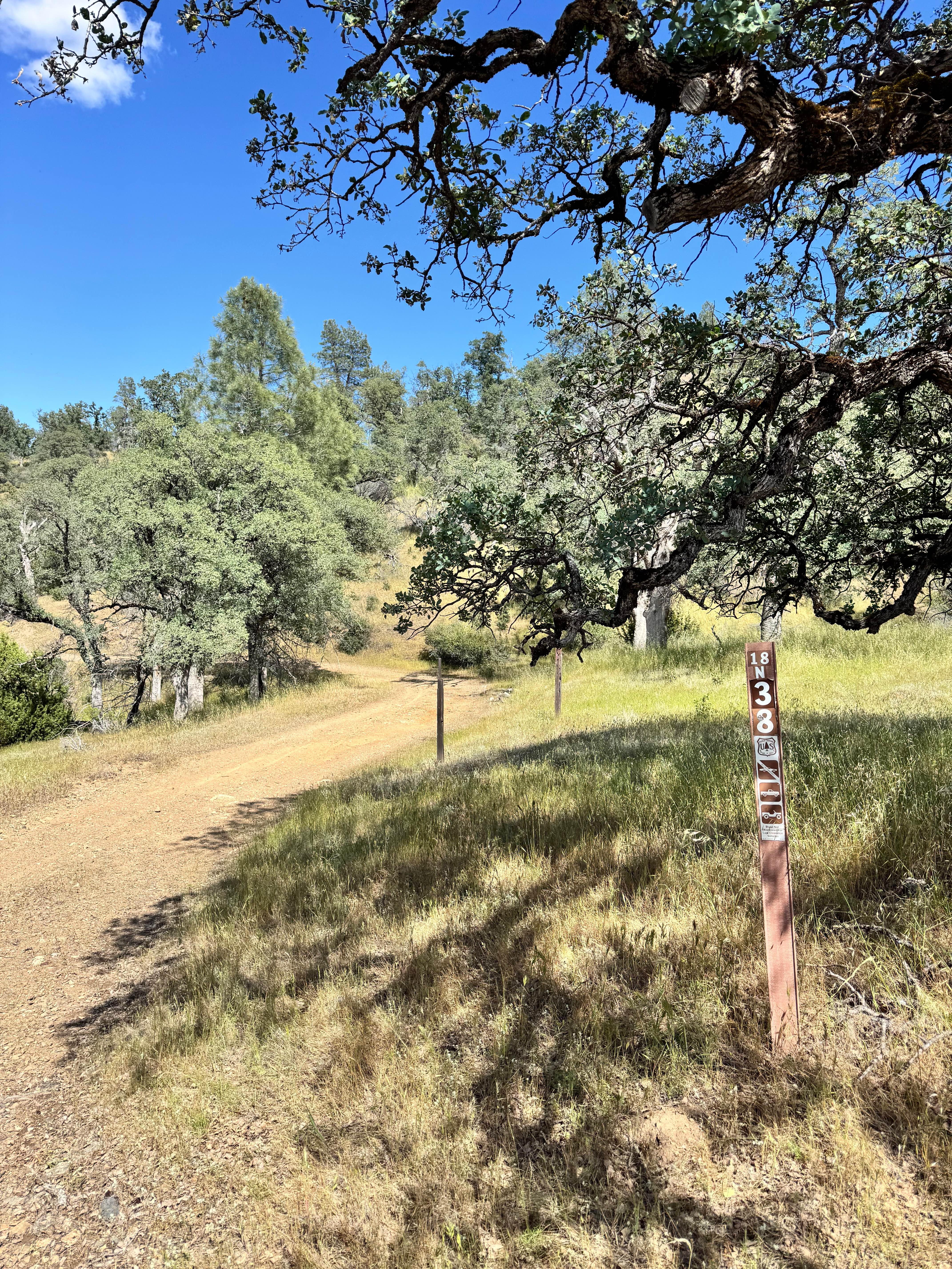
Salt Spring Valley - 18N38
The onX Offroad Difference
onX Offroad combines trail photos, descriptions, difficulty ratings, width restrictions, seasonality, and more in a user-friendly interface. Available on all devices, with offline access and full compatibility with CarPlay and Android Auto. Discover what you’re missing today!