Rouse Ridge via Cottonwood
Total Miles
11.7
Technical Rating
Best Time
Spring, Fall, Winter
Trail Type
Full-Width Road
Accessible By
Trail Overview
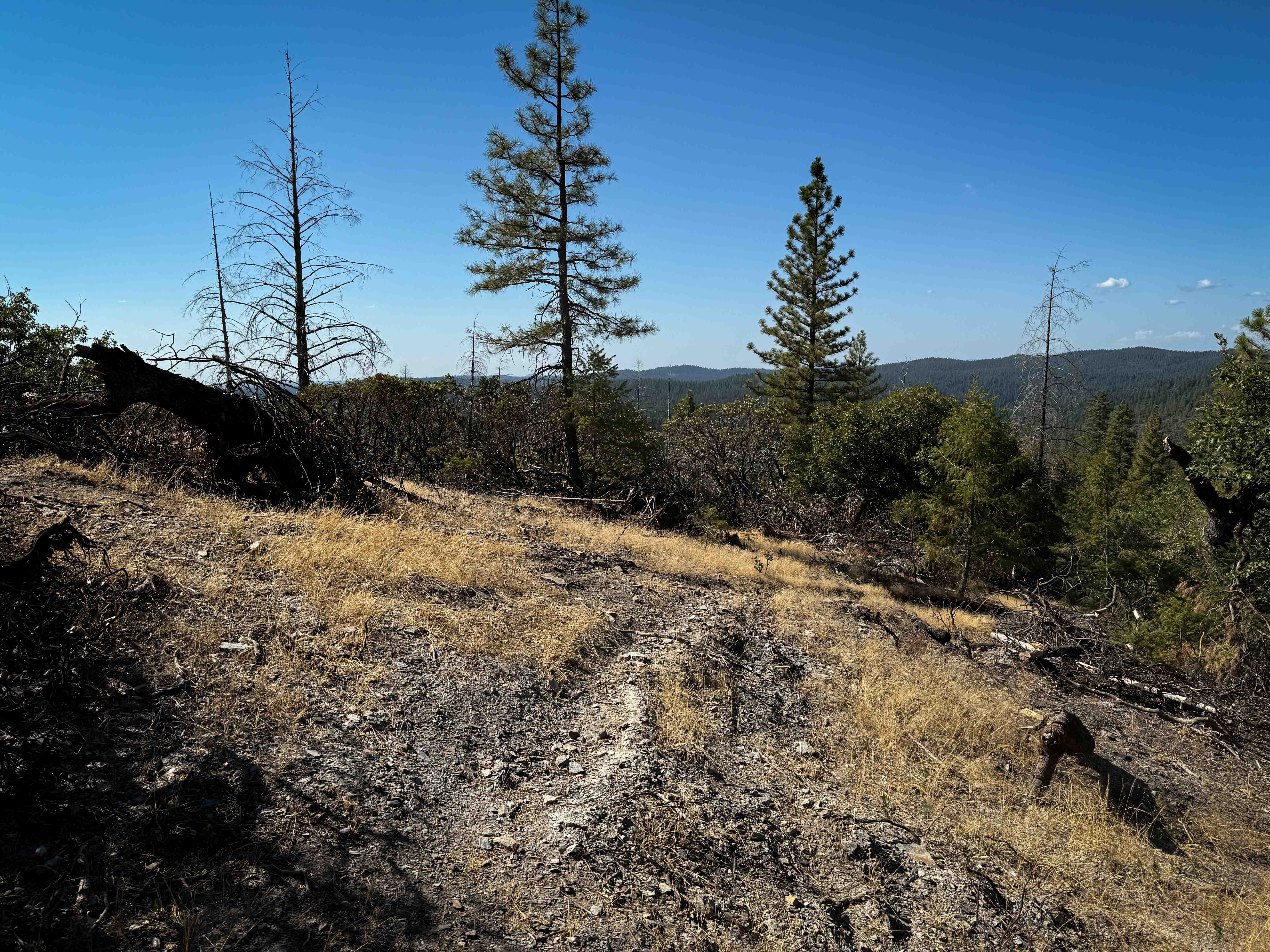
Rouse Ridge via Cottonwood is a trail that scales Rouse Ridge/Thomas Mountain using Cottonwood (6S18) and Thomas Mountain Rd (6S13). This trail offers stunning views in all directions as you ascend and descend the mountain. While it is possible to complete this trail in either direction, the southern face of Rouse Ridge has greater elevation gain with a more technical road. In winter months, as shown in the pictures, there may be snow on the northern side of the ridge. Some drivers may prefer to start on the southern side depending on skill level and vehicle. In addition, coming down the northern face allows unobstructed views of the San Jacinto Mountain Range.
Photos of Rouse Ridge via Cottonwood
Difficulty
This trail is not particularly challenging and can be completed in stock high-clearance 4x4 vehicles. Larger vehicles may face problems with tight turns or some of the small scattered obstacles.
Status Reports
Rouse Ridge via Cottonwood can be accessed by the following ride types:
- High-Clearance 4x4
- SUV
- SxS (60")
- ATV (50")
- Dirt Bike
Rouse Ridge via Cottonwood Map
Popular Trails

Arcularious Old - FS 2S85
North Fork Crossing
Alder Creek - FS 11N46
Trail 1-5 (11E51)
The onX Offroad Difference
onX Offroad combines trail photos, descriptions, difficulty ratings, width restrictions, seasonality, and more in a user-friendly interface. Available on all devices, with offline access and full compatibility with CarPlay and Android Auto. Discover what you’re missing today!