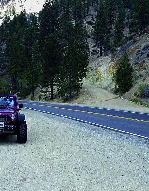
Lost Cannon Creek - FS 32212
Total Miles
3.2
Technical Rating
Best Time
Fall, Summer
Trail Type
Full-Width Road
Accessible By
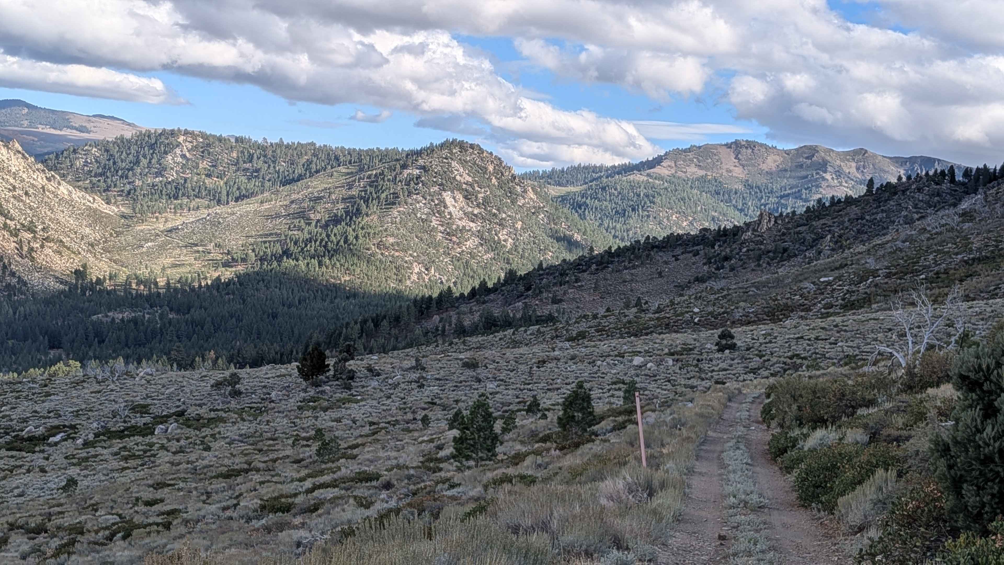
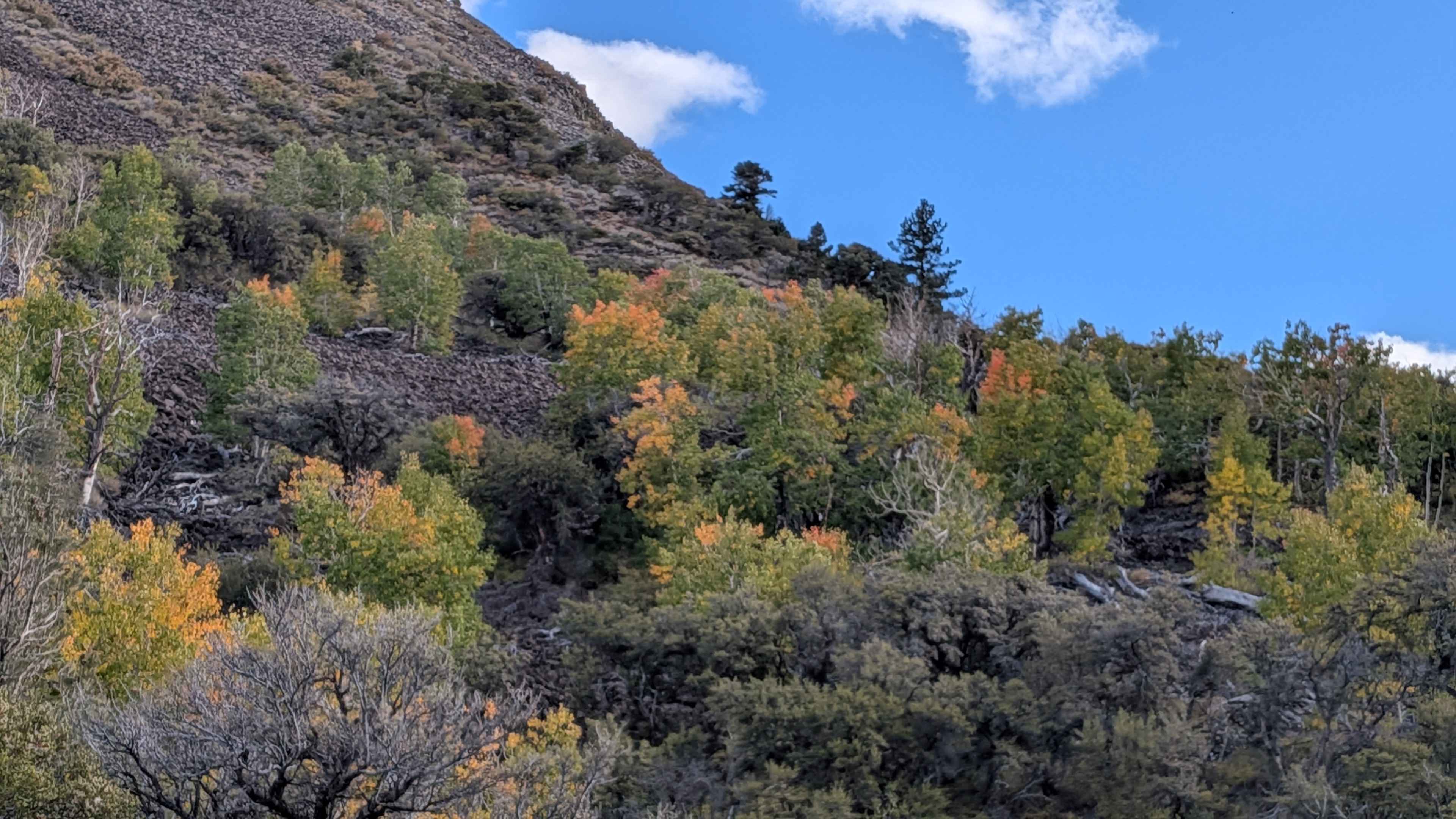
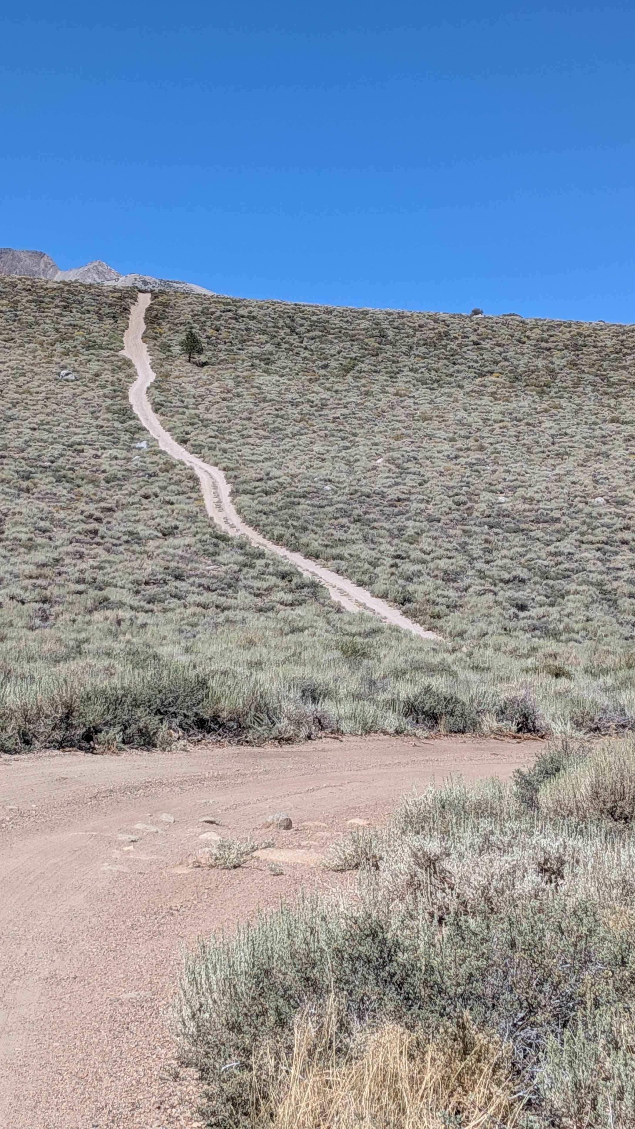
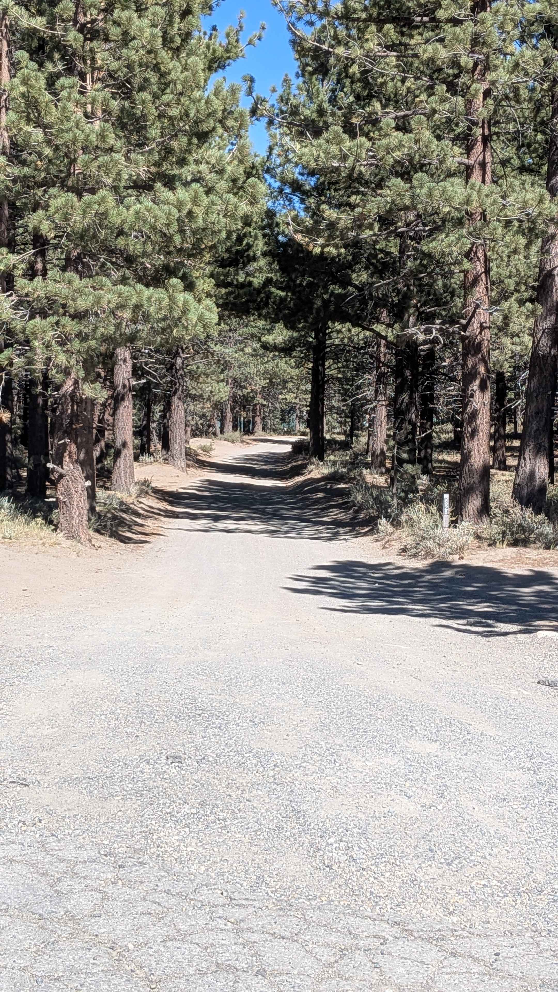
Trail Overview
This 6.5-mile out-and-back trail starts at Mill Canyon Road and delivers significant elevation changes, climbing almost 1,000 feet and dropping nearly 400 feet in just over 3 miles. The route travels through a burn area from an old forest fire, requiring caution for flooding debris, low-hanging branches, and potentially falling trees that remain hazards from the fire damage. A "Road Closed Ahead" sign appears early on the trail, but the actual closure doesn't occur for over 3 miles, allowing substantial exploration before reaching the endpoint. The trail begins in a pine forest environment that quickly shifts to aspen groves, creating beautiful transitional landscapes. The surface consists of dirt and sand with ruts caused by water runoff, and some off-camber sections appear throughout, requiring careful vehicle positioning. At the half-mile point, remnants of the old forest fire become visible as the trail runs along a shelf road, offering glimpses of the surrounding mountains through the remaining forest canopy. At mile 1, the trees begin to disappear as elevation increases, revealing more dramatic views of the surrounding mountains and rock formations. A few switchbacks navigate the climbing sections. By mile 1.5, all trees have vanished, and you enter a foothill meadow environment filled with various types of brush, where you're rewarded with expansive mountain views across the open landscape. Fall visitors will enjoy colorful fall foliage displays, adding seasonal beauty to the already stunning scenery. The final three-quarters of a mile runs along a narrow shelf road with very steep drop-offs, demanding confident driving and attention to the exposed edge. Some mud holes appear along this final section, adding additional technical considerations. The trail ends at a water crossing where the road beyond is officially closed, providing a clear endpoint. The route does travel through private land, so visitors must remain on the established trail and be respectful of property boundaries.
Photos of Lost Cannon Creek - FS 32212
Difficulty
This trail has a challenging difficulty rating (3) based on the nearly 1,000 feet of elevation gain, narrow shelf road with very steep drop-offs in the final sections, off-camber portions combined with rutted surfaces, switchback navigation, mud holes, burn area hazards including debris and unstable trees, and the technical demands of the out-and-back format on narrow exposed sections. The primary challenges include managing significant elevation changes safely, navigating the exposed narrow shelf road confidently, avoiding ruts and mud holes, handling off-camber angles, and remaining alert for fire-damaged trees and debris throughout the burn area.
Status Reports
Lost Cannon Creek - FS 32212 can be accessed by the following ride types:
- High-Clearance 4x4
- SUV
- SxS (60")
- ATV (50")
- Dirt Bike
Lost Cannon Creek - FS 32212 Map
Popular Trails
Mammoth Knolls Loop FS 3S123
West Camino Cielo
The onX Offroad Difference
onX Offroad combines trail photos, descriptions, difficulty ratings, width restrictions, seasonality, and more in a user-friendly interface. Available on all devices, with offline access and full compatibility with CarPlay and Android Auto. Discover what you’re missing today!