23E281
Total Miles
1.0
Technical Rating
Best Time
Spring, Fall
Trail Type
50" Trail
Accessible By
Trail Overview
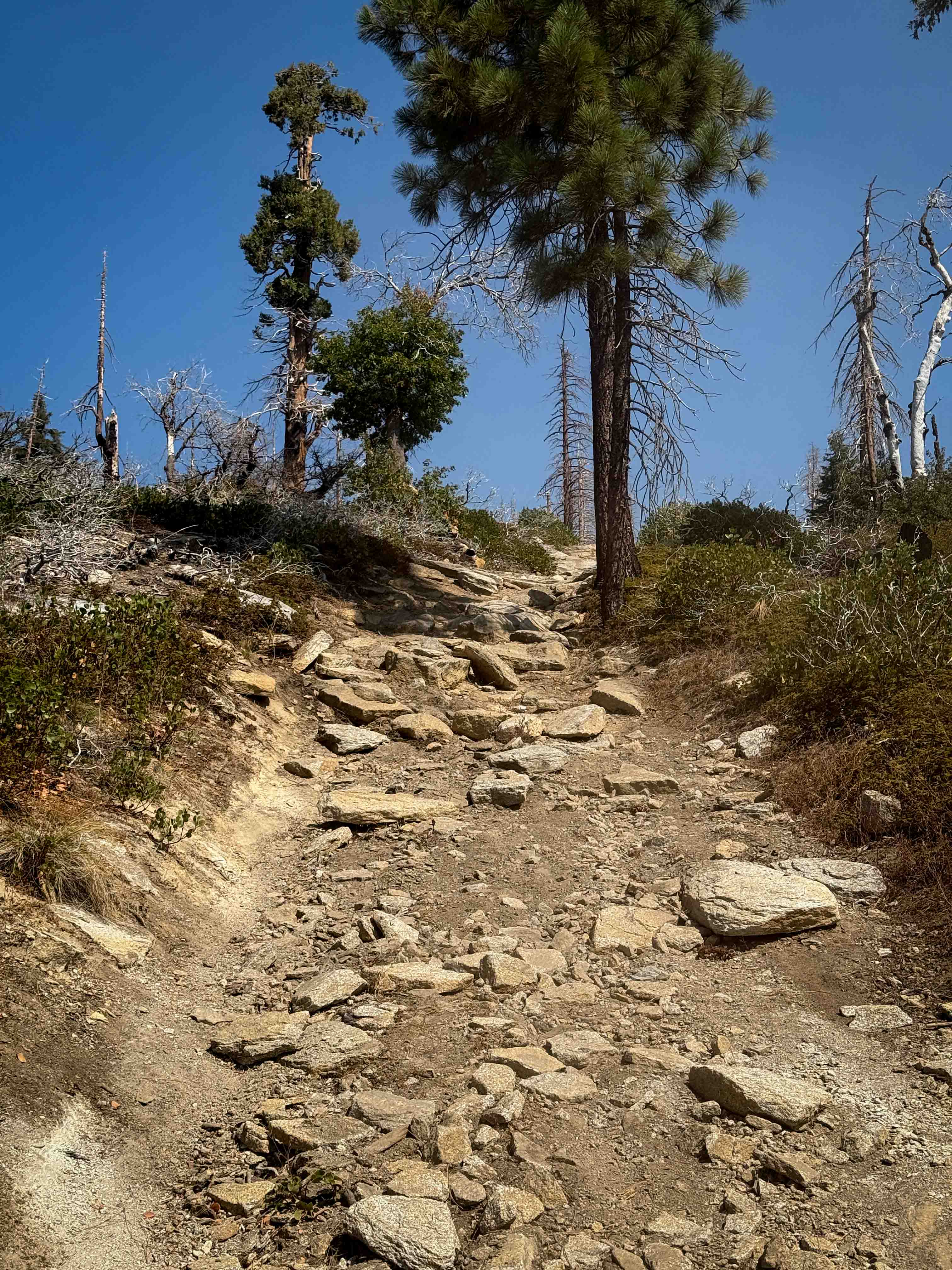
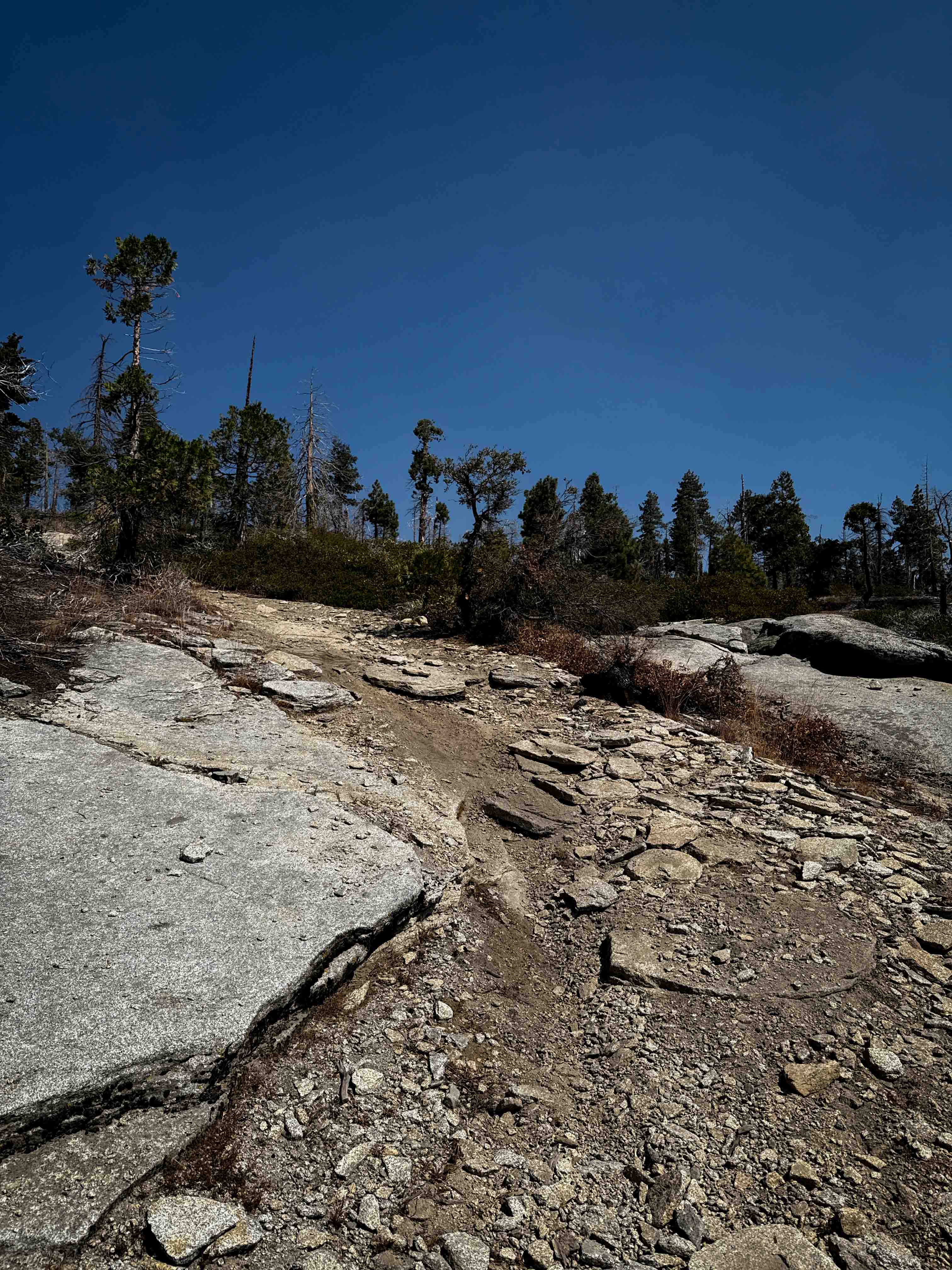
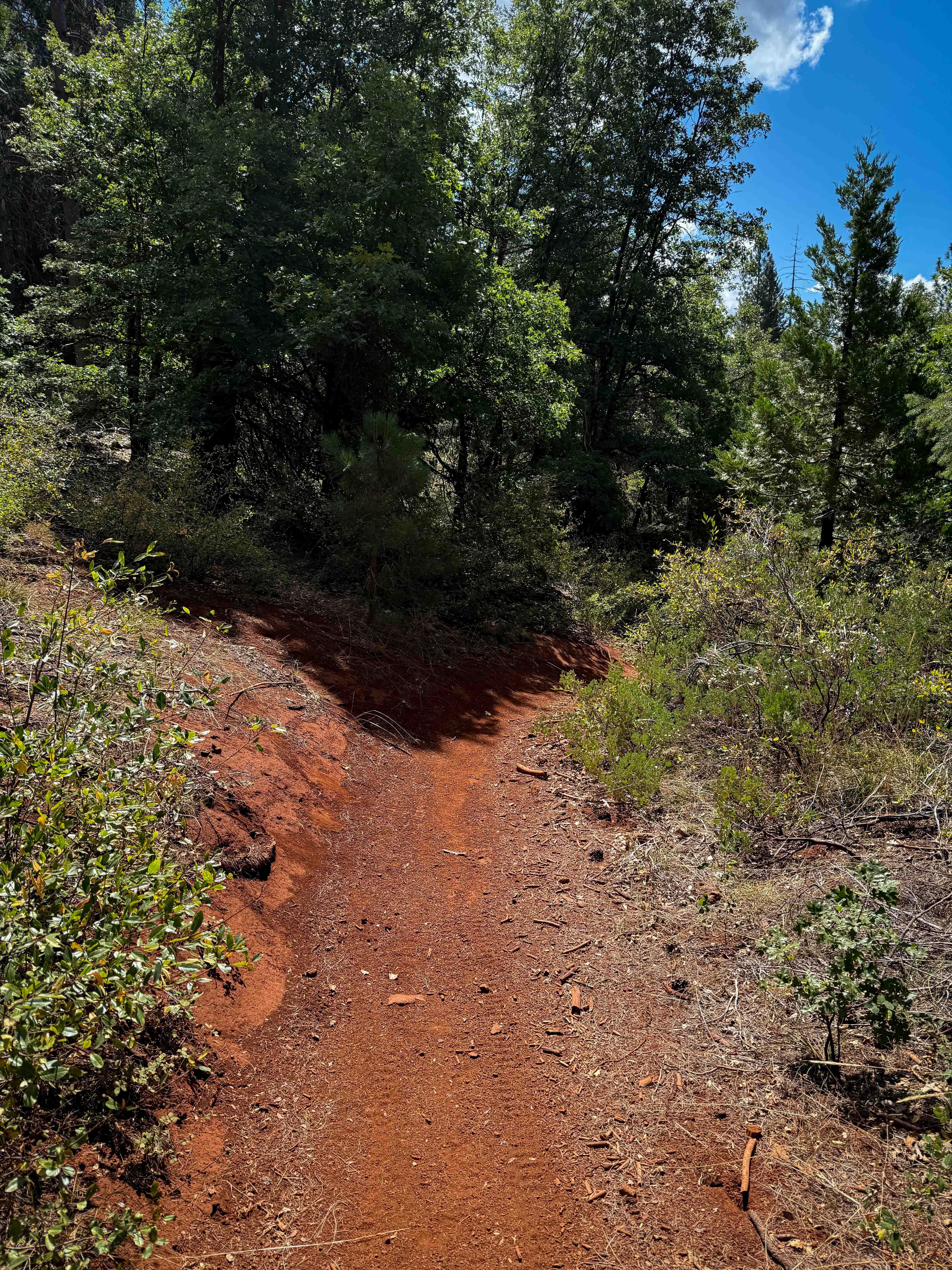
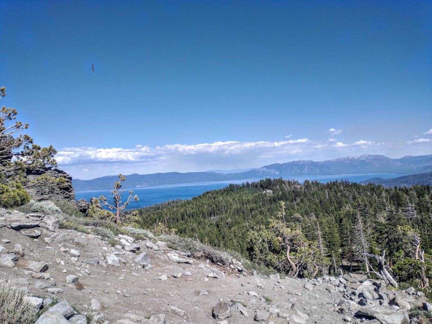
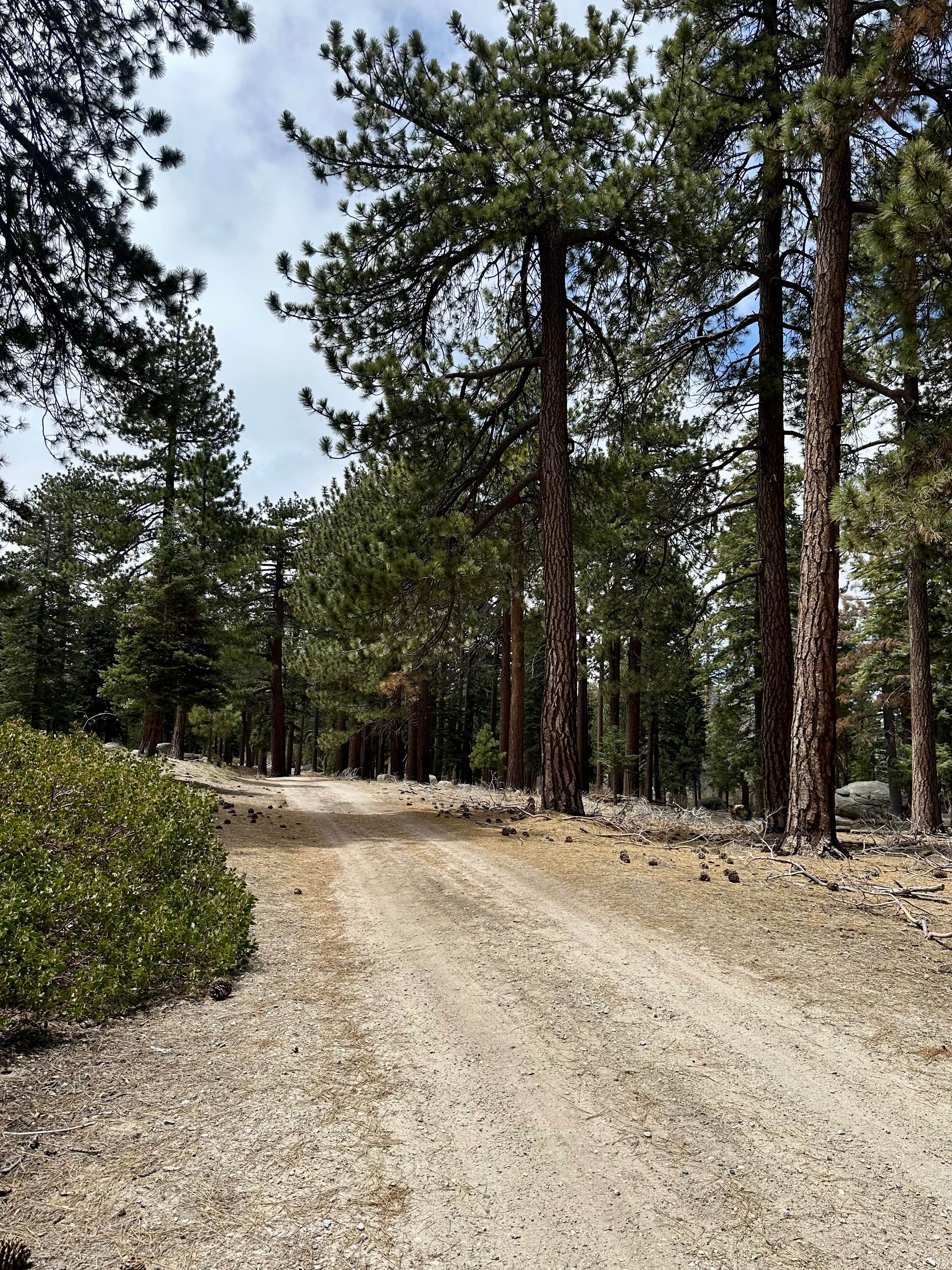
The south end of this moderate ATV trail starts across the forest service road from 23E280, and starts climbing up on a semi-steep path that comes up to a moderate rock ledge obstacle that is a bunch of embedded rock layers that kind of create a ramp, but is a couple of feet high. The trail meanders through a hilltop burn area between the trees, going over lots of medium-sized embedded rocks, often creating small stair steps and drop-offs. It goes up a slope covered in loose chunks of white rock slabs, with some bigger ledges at the top, making traction more difficult. There's a scenic hillside to the side of the trail with giant rock slabs overlooking the edge of the hill that could be a fun detour to explore off the vehicle. The northern half of the trail is a bit easier, as it keeps winding through the burn area, but with fewer rocks, on a smoother path, through giant pines. About halfway through, it intersects with 23E267, another moderate ATV trail. This trail is closed seasonally from 12/2 - 8/14.
Photos of 23E281
Difficulty
This is a moderate ATV trail due to frequent embedded rock and some moderate rock ledges in the southern half of the trail. The northern half of the trail is easier with fewer rocks.
Status Reports
23E281 can be accessed by the following ride types:
- ATV (50")
- Dirt Bike
23E281 Map
Popular Trails
Quarry Road 6N19
Ellis Peak OHV Trail
Kidd Creek - FS 2N86
The onX Offroad Difference
onX Offroad combines trail photos, descriptions, difficulty ratings, width restrictions, seasonality, and more in a user-friendly interface. Available on all devices, with offline access and full compatibility with CarPlay and Android Auto. Discover what you’re missing today!