Shooting Range
Total Miles
8.0
Technical Rating
Best Time
Spring, Summer, Fall, Winter
Trail Type
High-Clearance 4x4 Trail
Accessible By
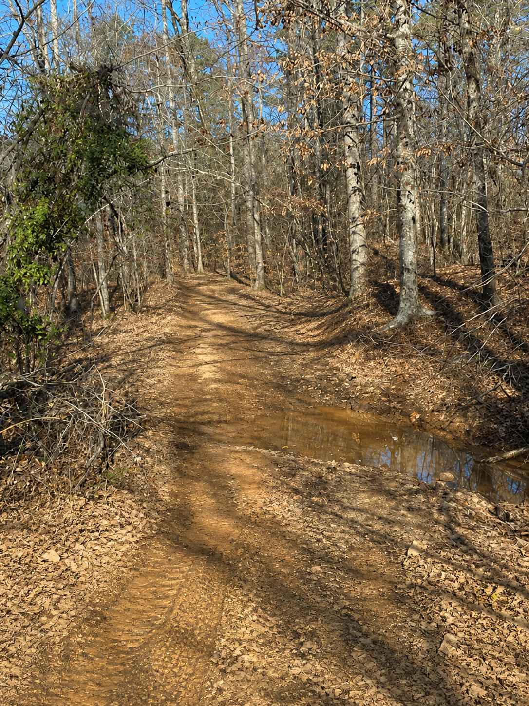
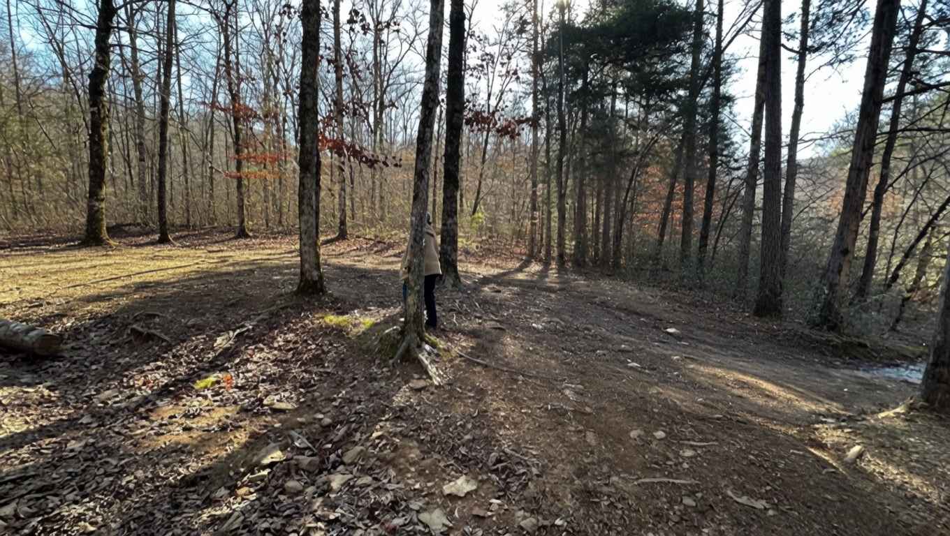
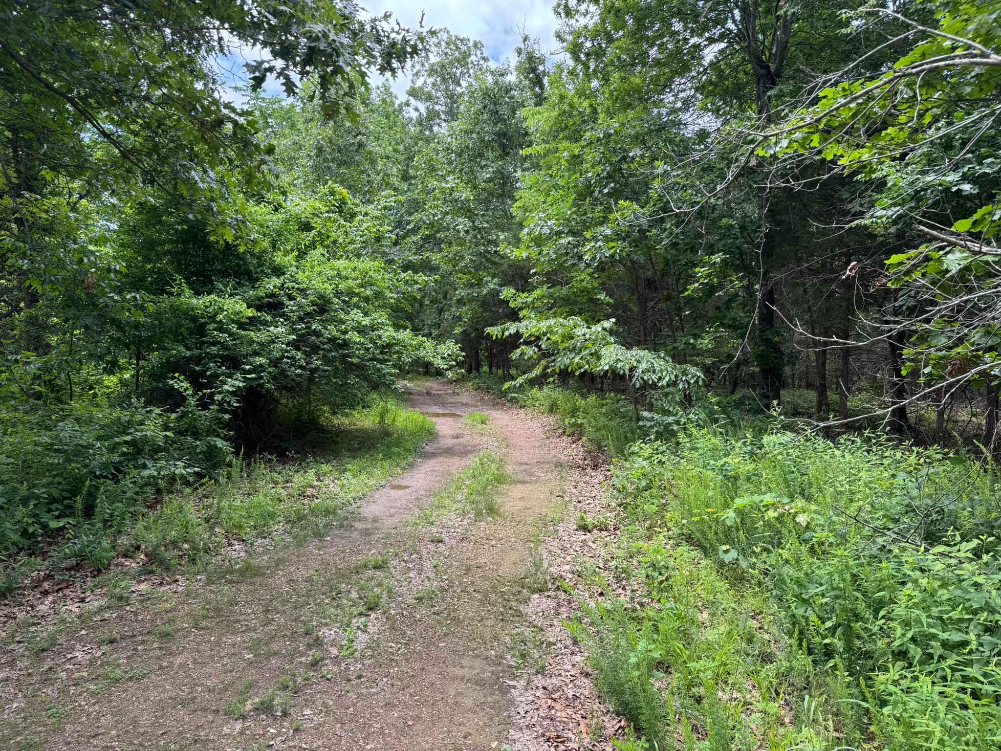
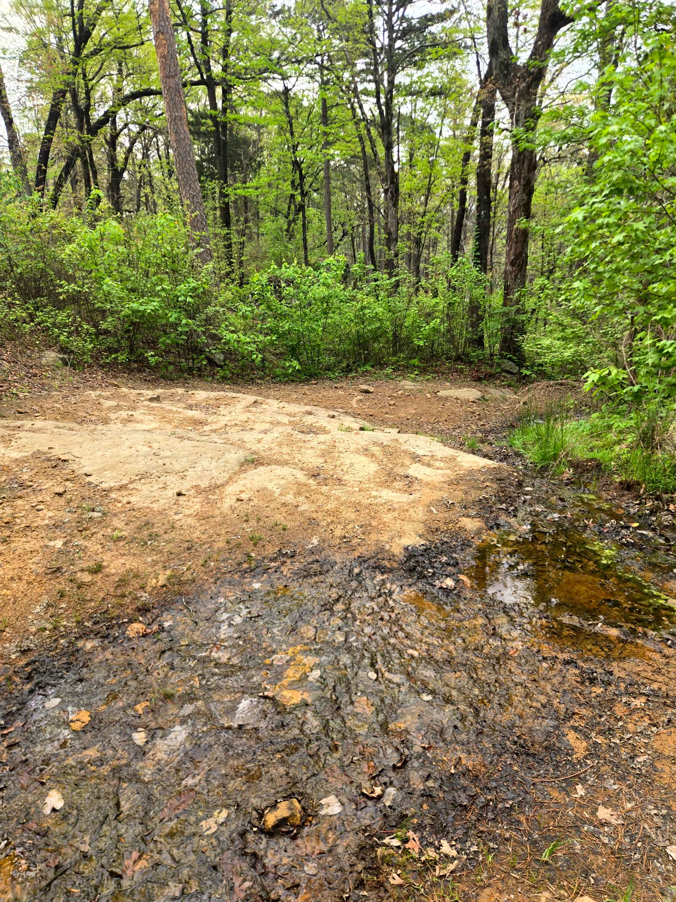
Trail Overview
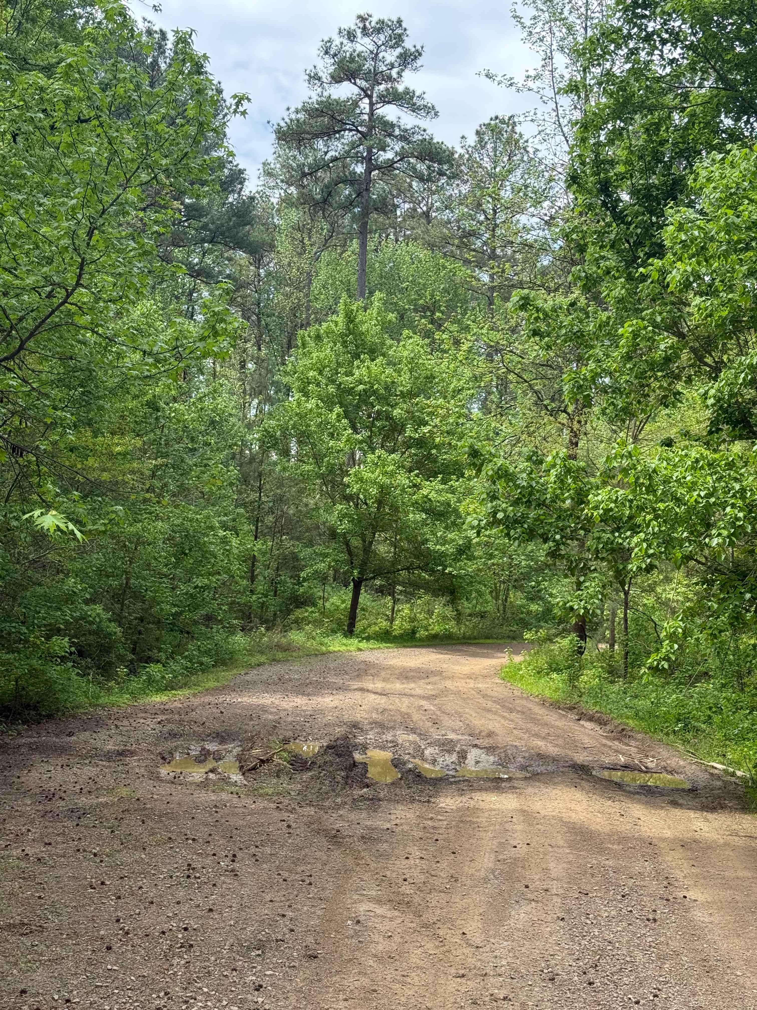
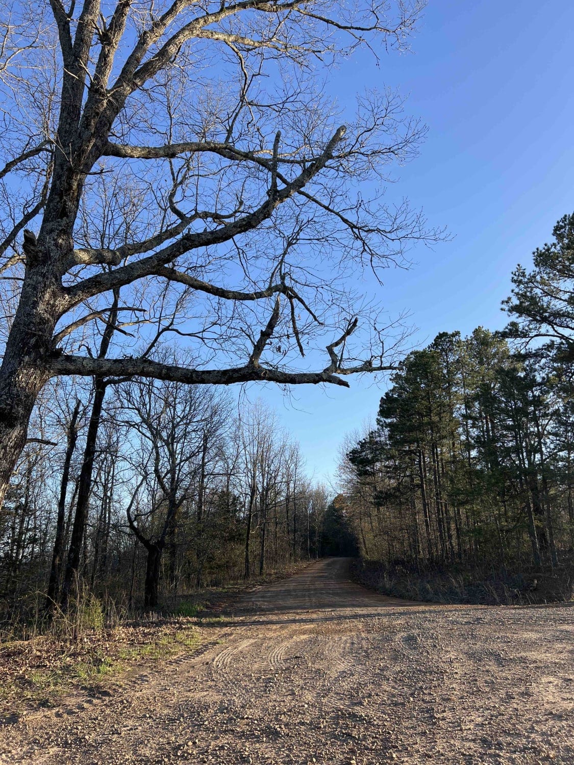
This was a strong, hard, moderate, but the forest service graded it and re-routed it a bit. Still a good trail, and if we get rain, it will wash out again and be more challenging. You start Highway 21 on 1471, head to PL. Hill Rifle Range. Stop there and air down for the ride. You will cross Long Creek, which is small, but can be more when raining. At 35.57848, -93.38872, about 300 Feet off the road is West McKay Falls. This trail will have washouts that get bigger as we get more rain. You will cross over Woods Mountain Road Trail. This trail ends at Murray Creek Falls. This is a great stop for a break, lunch, or to camp.
Photos of Shooting Range
Difficulty
Mostly washouts with a few areas of rock ledges that have been exposed.
Status Reports
Shooting Range can be accessed by the following ride types:
- High-Clearance 4x4
- SxS (60")
- ATV (50")
- Dirt Bike
Shooting Range Map
Popular Trails
Firebreak Hunterwell
Nix Hollows
Big Bee Ridge
The onX Offroad Difference
onX Offroad combines trail photos, descriptions, difficulty ratings, width restrictions, seasonality, and more in a user-friendly interface. Available on all devices, with offline access and full compatibility with CarPlay and Android Auto. Discover what you’re missing today!