Nunley Road
Total Miles
3.5
Technical Rating
Best Time
Spring, Summer, Fall
Trail Type
Full-Width Road
Accessible By
Trail Overview
Wolf Pen Gap was the first trail system built specifically for four-wheelers in the audited states. Now, it is used by both ATVs and SXSs. It is located in the Ouachita National Forest. The routes were created by the U.S. Forest Service. At times, the Forest Service may realign trails due to erosion or fallen trees. The trails generally follow the same path but may be moved around obstacles. The routes were created by the Forest Service in the 1980s from old logging roads. This is a paved road allowing vehicles and ATVs to access East Wolf Pen Gap. This route starts at Trailhead ATV in Nunley, Arkansas, a beautiful place to camp with full hookups or a large staging area for your vehicles and trailers.
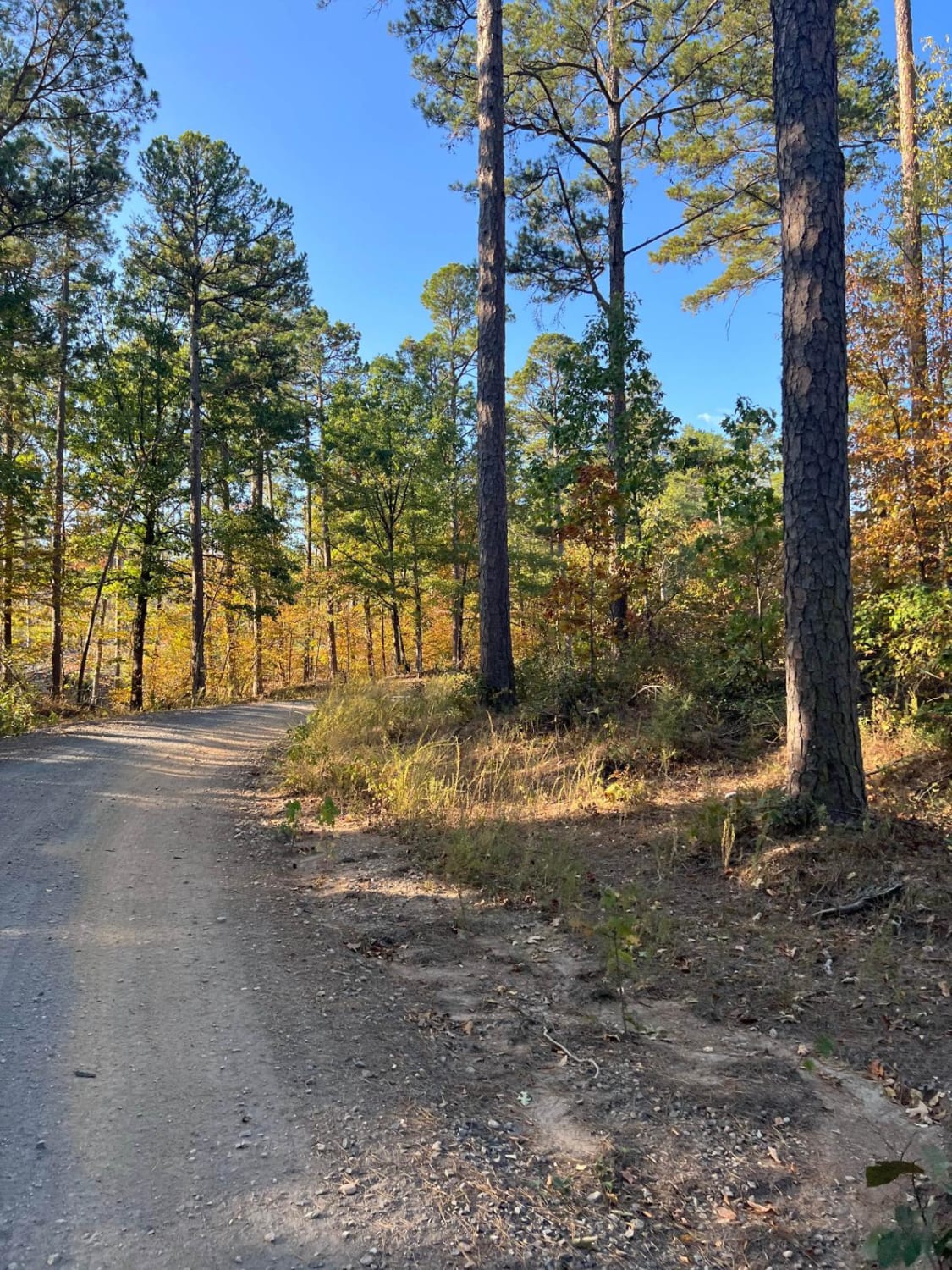
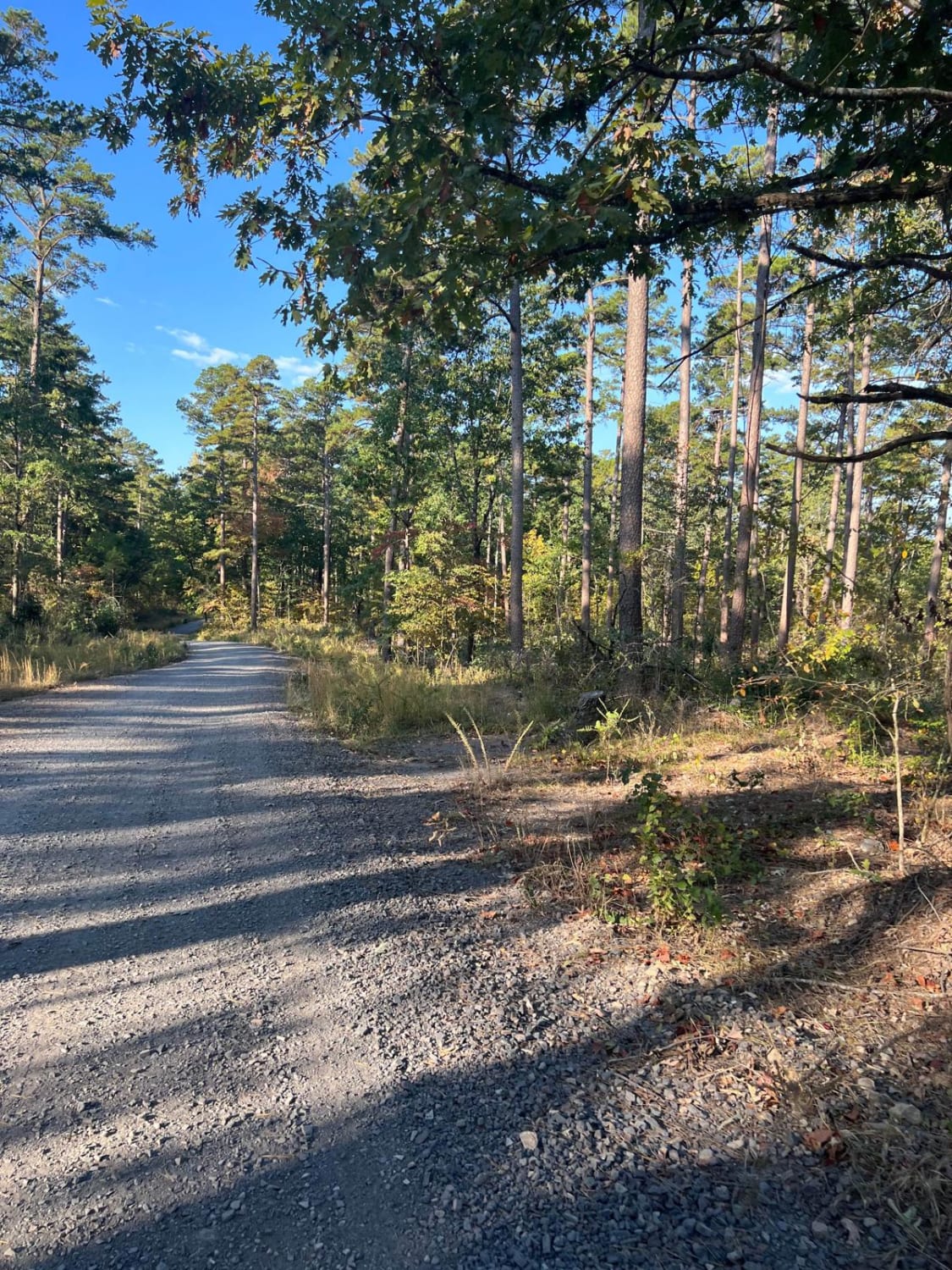
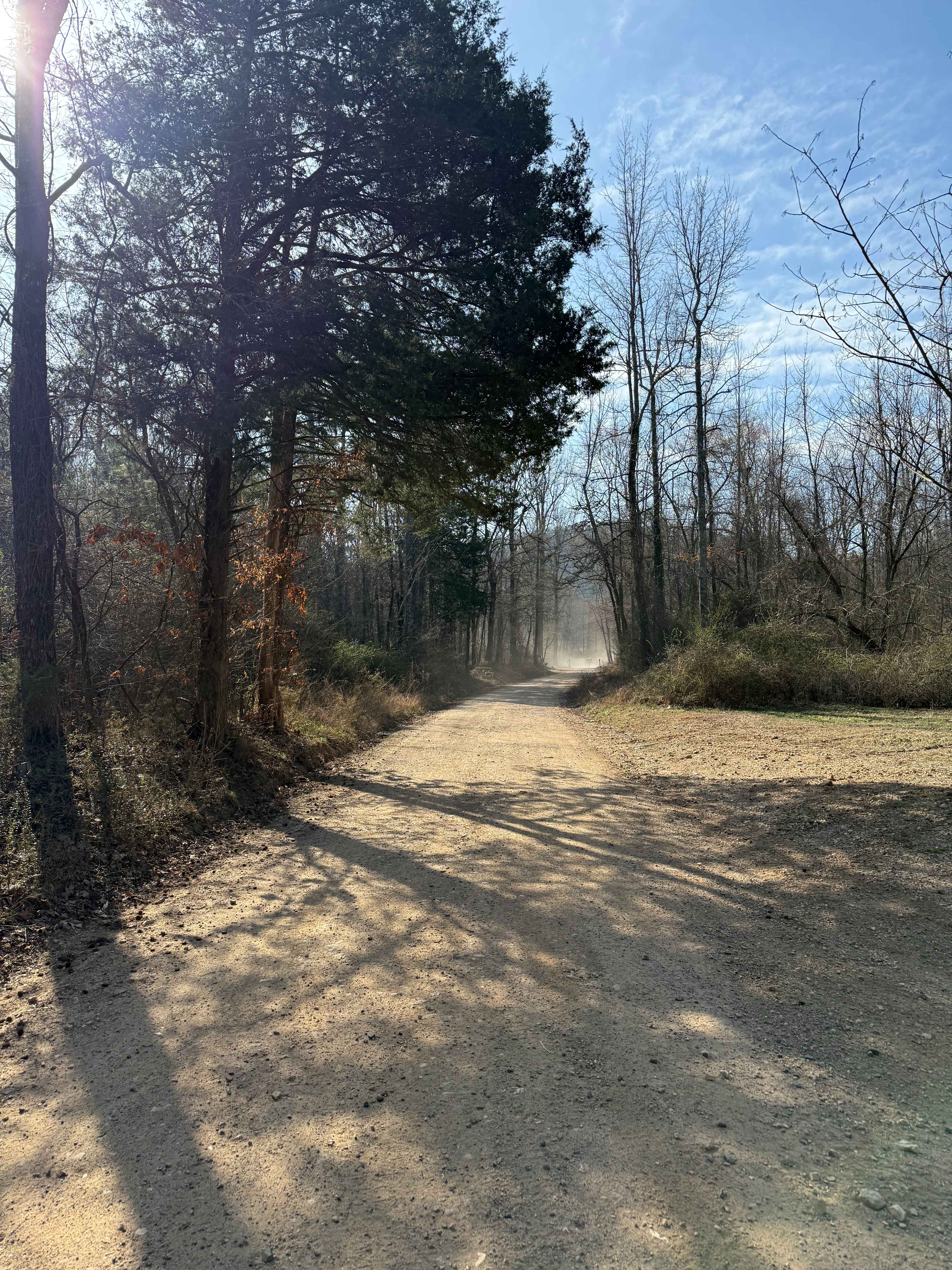
Photos of Nunley Road
Difficulty
This is an easy dirt and gravel road through a rural, residential area.
History
According to the Ouachita ATV Club, what makes riding here stand out is the diversity of the terrain. "The trails have a little bit of everything in terms of difficulty levels. It's got challenging terrain but also easy trails." Here, you can walk out of your cabin or RV, get on your off-road vehicle, and have direct access to the trails. Camping is not permitted at the trailheads but there are a few small, primitive campsites scattered throughout the forest where it is allowed.
Status Reports
Nunley Road can be accessed by the following ride types:
- High-Clearance 4x4
- SUV
- SxS (60")
- ATV (50")
- Dirt Bike
Nunley Road Map
Popular Trails

46 Connector


Plumeria Picnic
The onX Offroad Difference
onX Offroad combines trail photos, descriptions, difficulty ratings, width restrictions, seasonality, and more in a user-friendly interface. Available on all devices, with offline access and full compatibility with CarPlay and Android Auto. Discover what you’re missing today!