FR298
Total Miles
2.3
Technical Rating
Best Time
Spring, Summer, Fall, Winter
Trail Type
Full-Width Road
Accessible By
Trail Overview
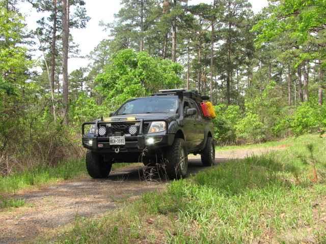
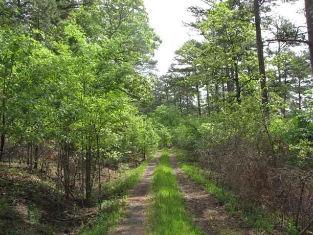
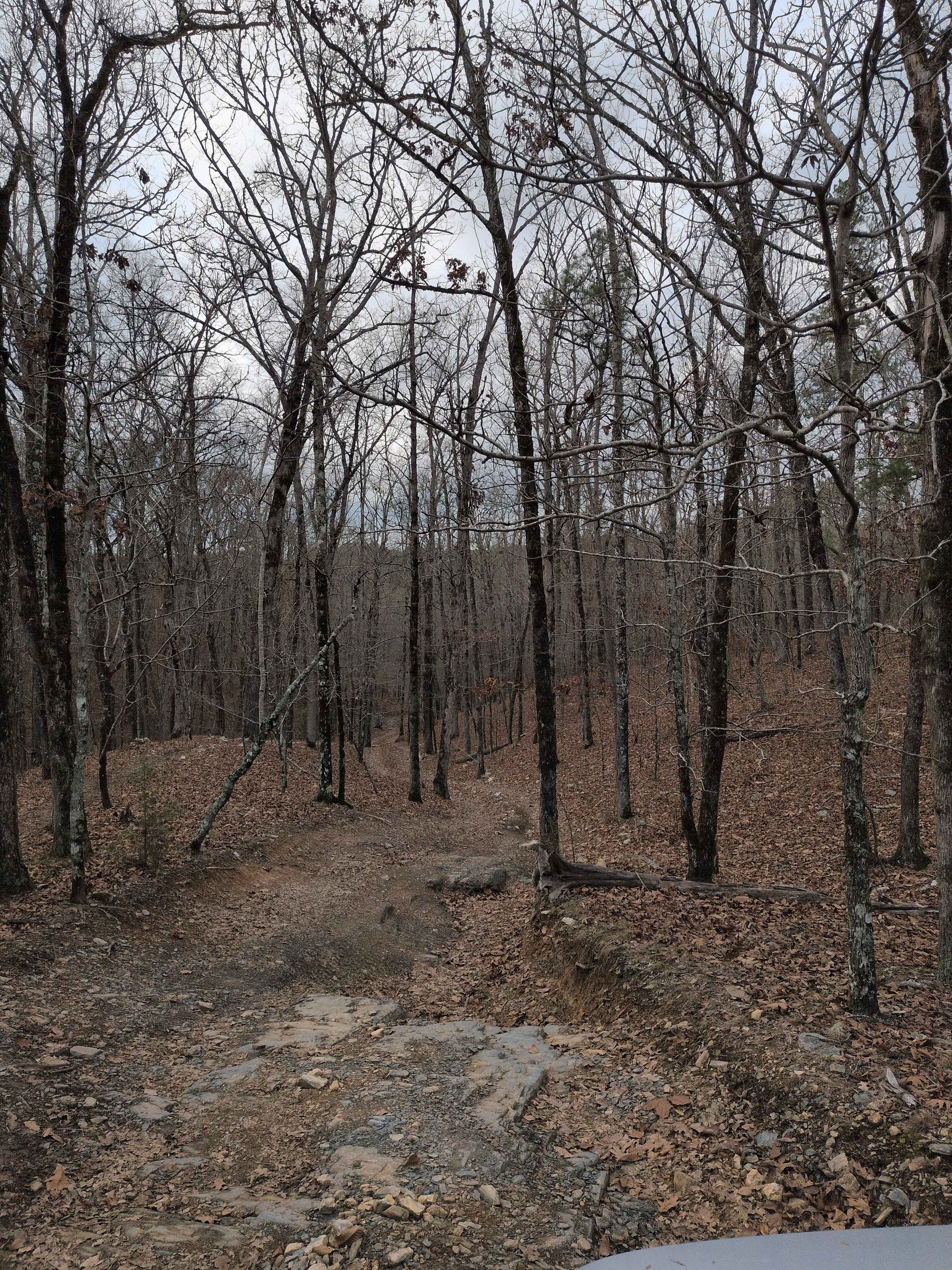
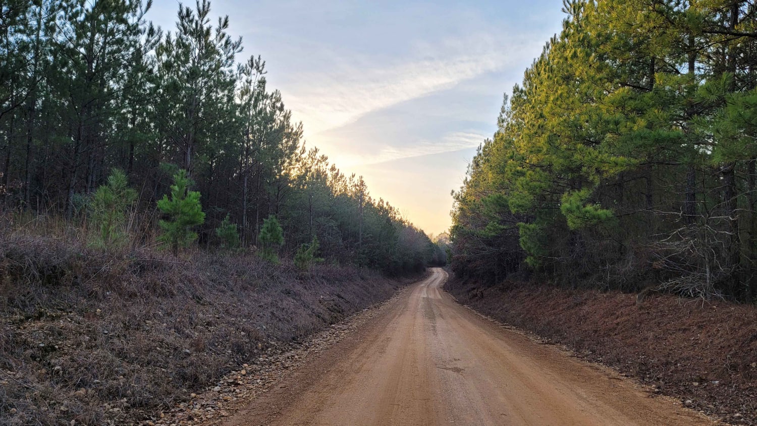
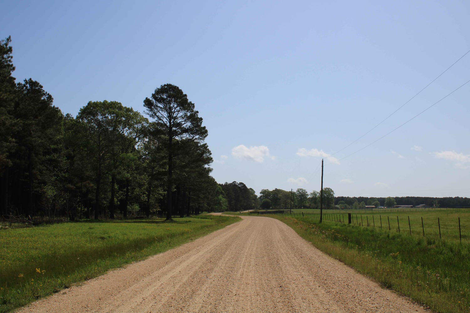
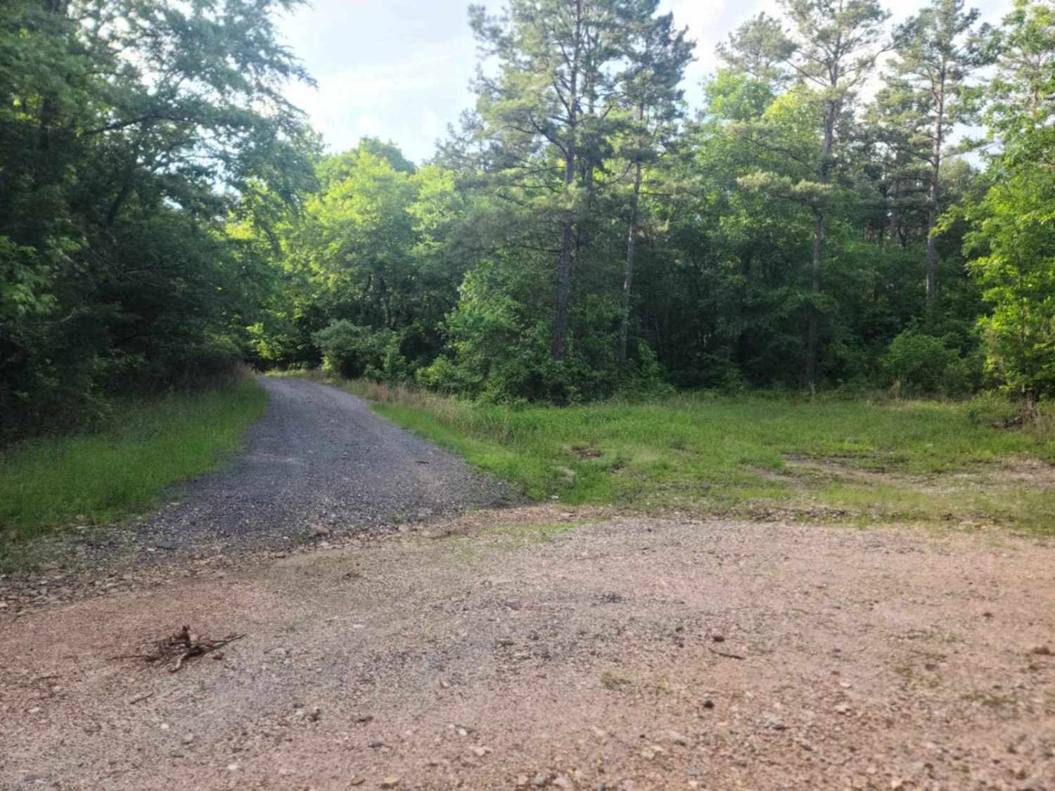
In & Out Maintained Forest Road In The Ouachita National Forest In Arkansas. Primarily gravel with a few muddy spots and overgrown vegetation on both sides of the road. It's a nice quiet spot at the end to spot and take a break surrounded by nature. So don't pass by this little route while exploring.
Photos of FR298
Difficulty
The road is fairly easy with some areas of overgrown vegetation on both sides of the road. It is a dead-end road and has enough room to turn around at the end but it might be tight if towing a trailer.
Status Reports
FR298 can be accessed by the following ride types:
- High-Clearance 4x4
- SUV
- SxS (60")
FR298 Map
Popular Trails
F48 Higher Ground
Country route to White Oak Lake Group Campsite
The Arkansas Overland Route - TrailHawk Loop - Section 14 - The Beginning
M95/Bent Chickenhouse Spur
The onX Offroad Difference
onX Offroad combines trail photos, descriptions, difficulty ratings, width restrictions, seasonality, and more in a user-friendly interface. Available on all devices, with offline access and full compatibility with CarPlay and Android Auto. Discover what you’re missing today!