Fiddlers Creek 17
Total Miles
11.3
Technical Rating
Best Time
Spring, Fall, Winter
Trail Type
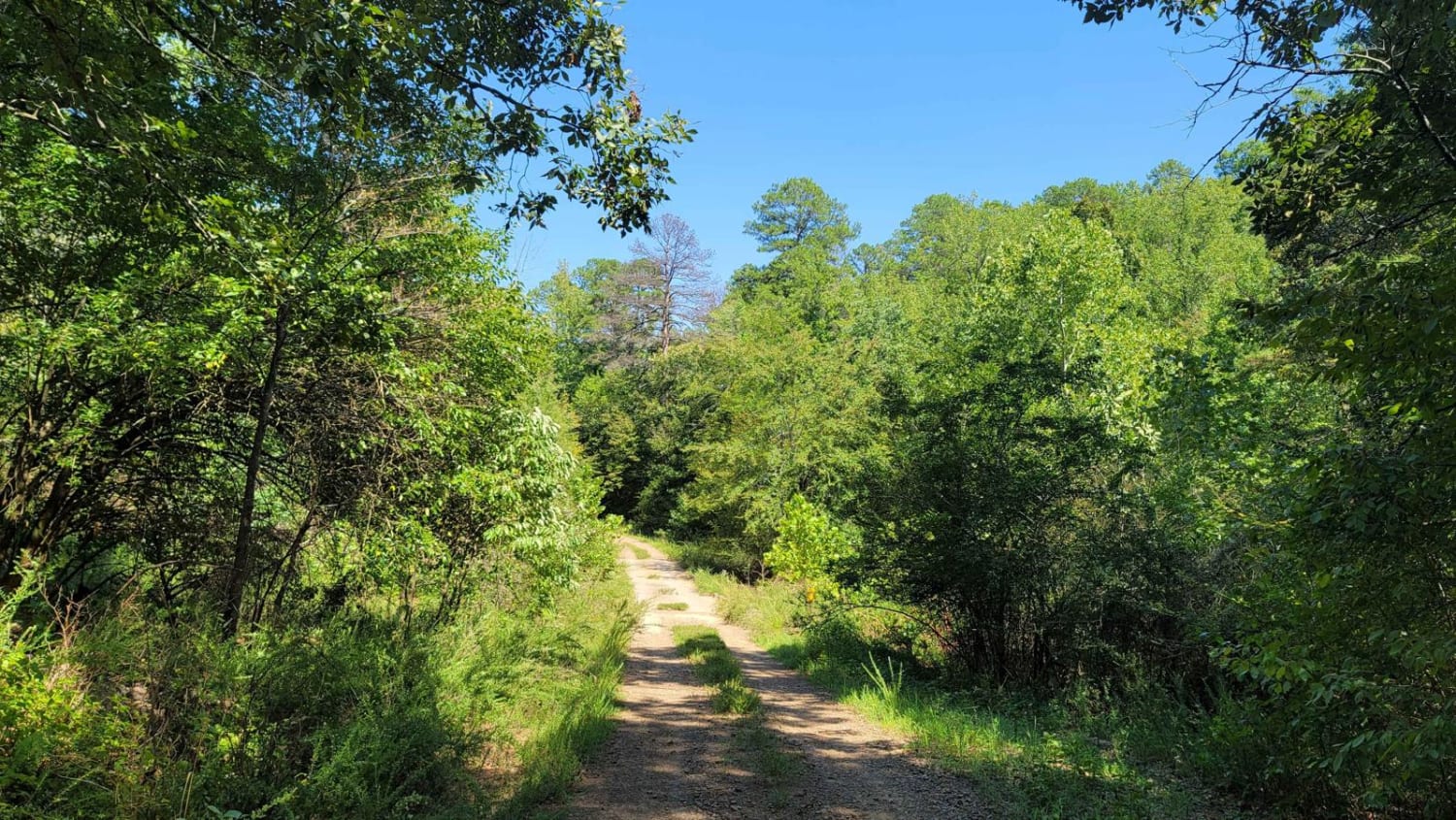
Full-Width Road
Accessible By
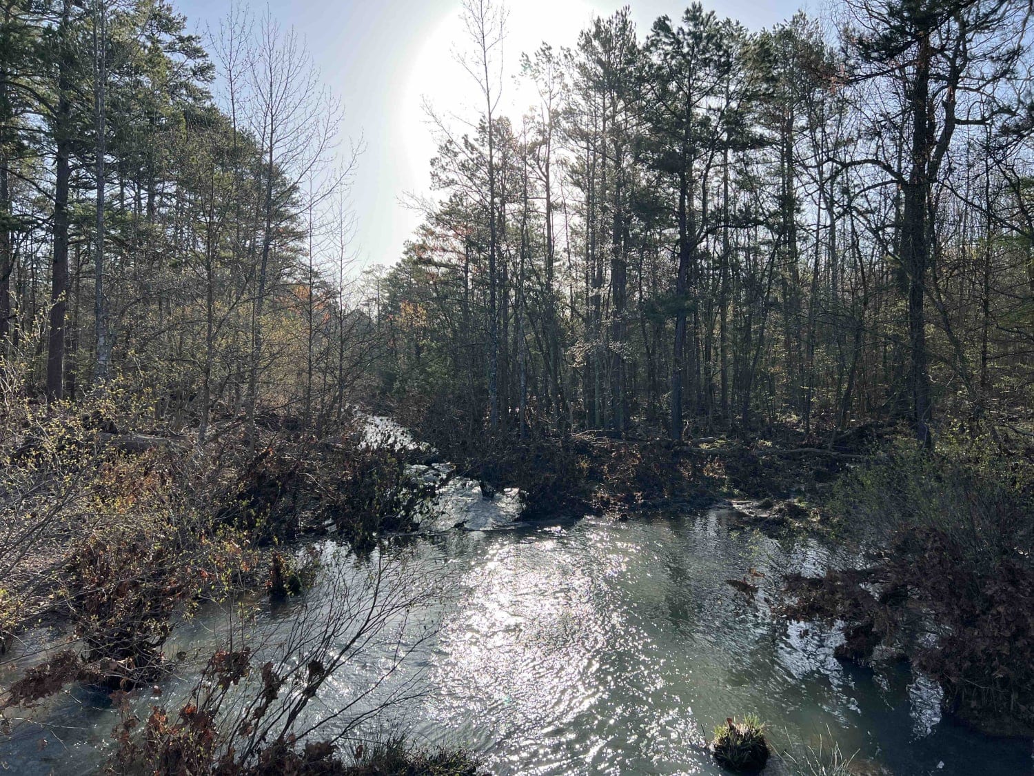
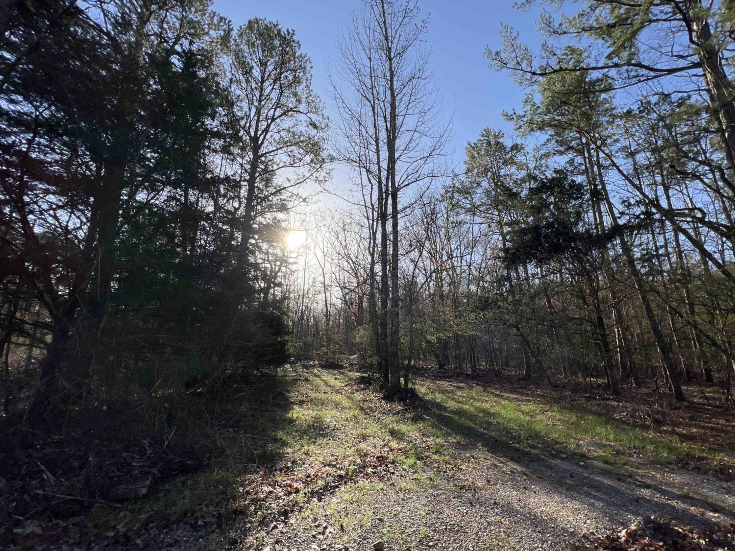
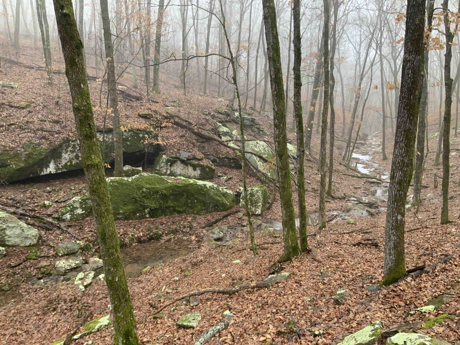
Trail Overview
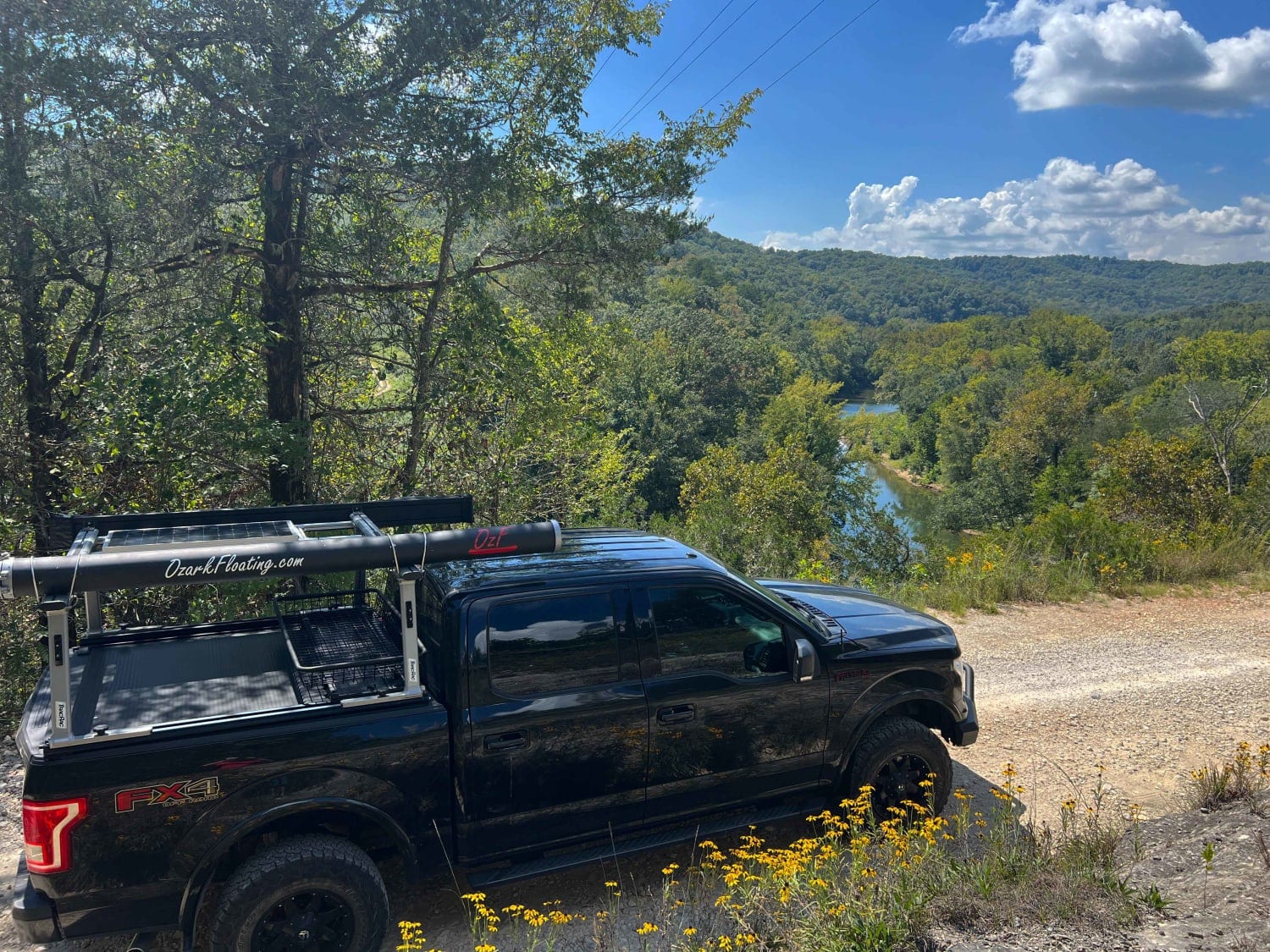
Fiddlers Creek 17 is a gravel road with several washed-out areas, and creek crossings. It parallels several creeks with lots of areas to swim, fish, or crawdad fish. The Ouachita Recreational Trail is just south of this location so camping along this route would put you close to the trailhead. There are deep water crossings so I wouldn't suggest a car on this road. There are several campsites some of which had a creek running right next to them however these are dispersed with no restrooms or running water. Some cell service is attainable in certain areas along the road but isn't great. Lots of trees for shade and the chance to see some wildlife including wild turkeys.
Photos of Fiddlers Creek 17
Difficulty
Expect several washed-out areas and creek crossings. It parallels several creeks with lots of deep water crossings.
History
Here is an article written on the history of ONF -- https://www.fs.usda.gov/Internet/FSE_DOCUMENTS/stelprdb5143491.pdf
Status Reports
Fiddlers Creek 17 can be accessed by the following ride types:
- High-Clearance 4x4
- SUV
- SxS (60")
- ATV (50")
- Dirt Bike
Fiddlers Creek 17 Map
Popular Trails
Bradford Easy Loop 1720B/2509

Wildcat Hollow
Old River Road
The onX Offroad Difference
onX Offroad combines trail photos, descriptions, difficulty ratings, width restrictions, seasonality, and more in a user-friendly interface. Available on all devices, with offline access and full compatibility with CarPlay and Android Auto. Discover what you’re missing today!