Danville Mountain
Total Miles
5.0
Technical Rating
Best Time
Spring, Summer, Fall, Winter
Trail Type
Full-Width Road
Accessible By
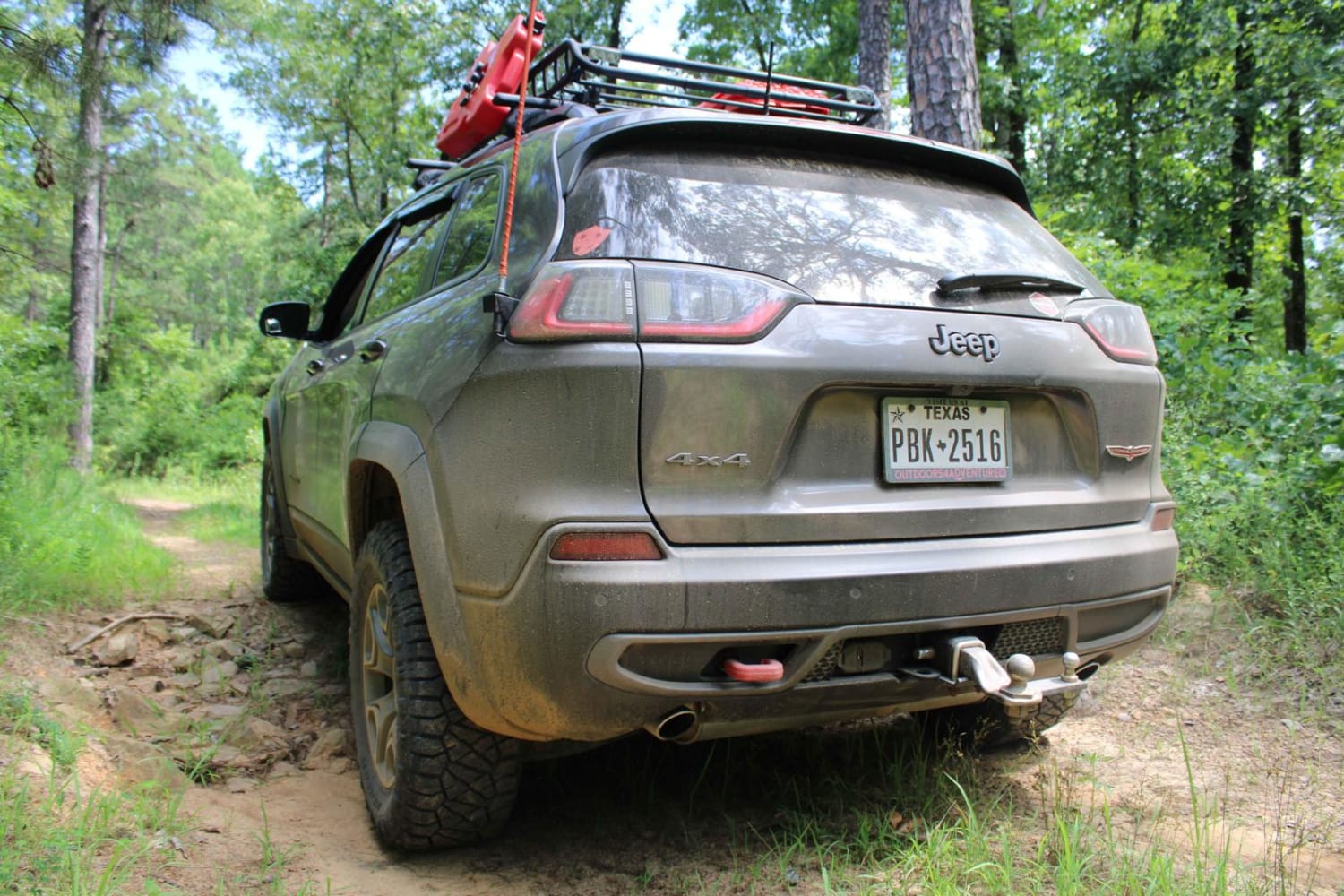
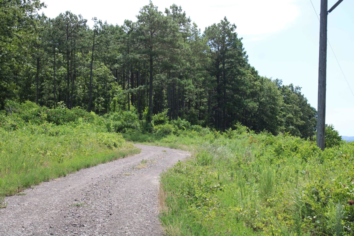
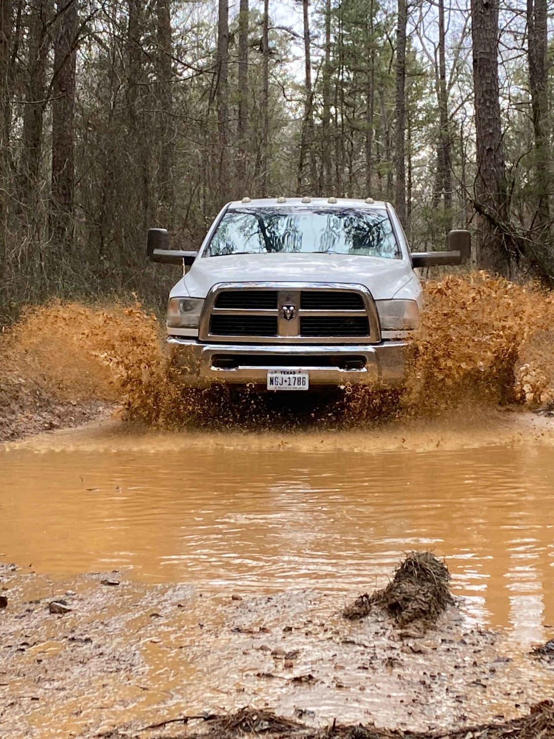
Trail Overview
These forest roads consist of F63D, F64E, 658D, and 658 and exits at Growly Road. Some of these roads are narrow and overgrown. A few places will require a bit of ground clearance. Depending on vehicle width scratches are possible. Washouts and ruts will require choosing a line if ground clearance is low.
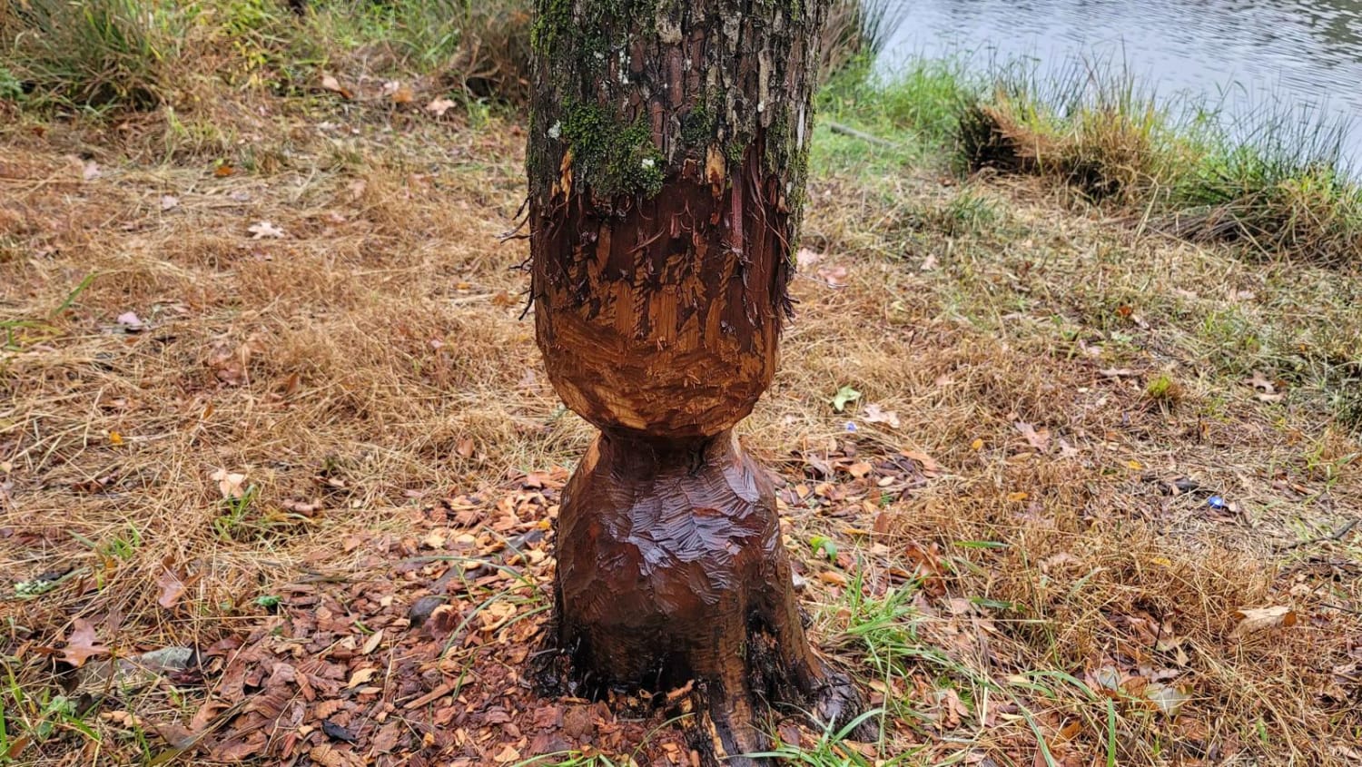
Photos of Danville Mountain
Difficulty
There are some narrow and overgrown areas. It is mainly gravel and rock on these roads. Some ruts make choosing a line necessary, especially if ground clearance is low.
Status Reports
Danville Mountain can be accessed by the following ride types:
- High-Clearance 4x4
- SUV
- SxS (60")
- ATV (50")
- Dirt Bike
Danville Mountain Map
Popular Trails
East Fork Illinois Bayou
Gillham Dam And Cossatot Reefs Campground
Pond Camp Special
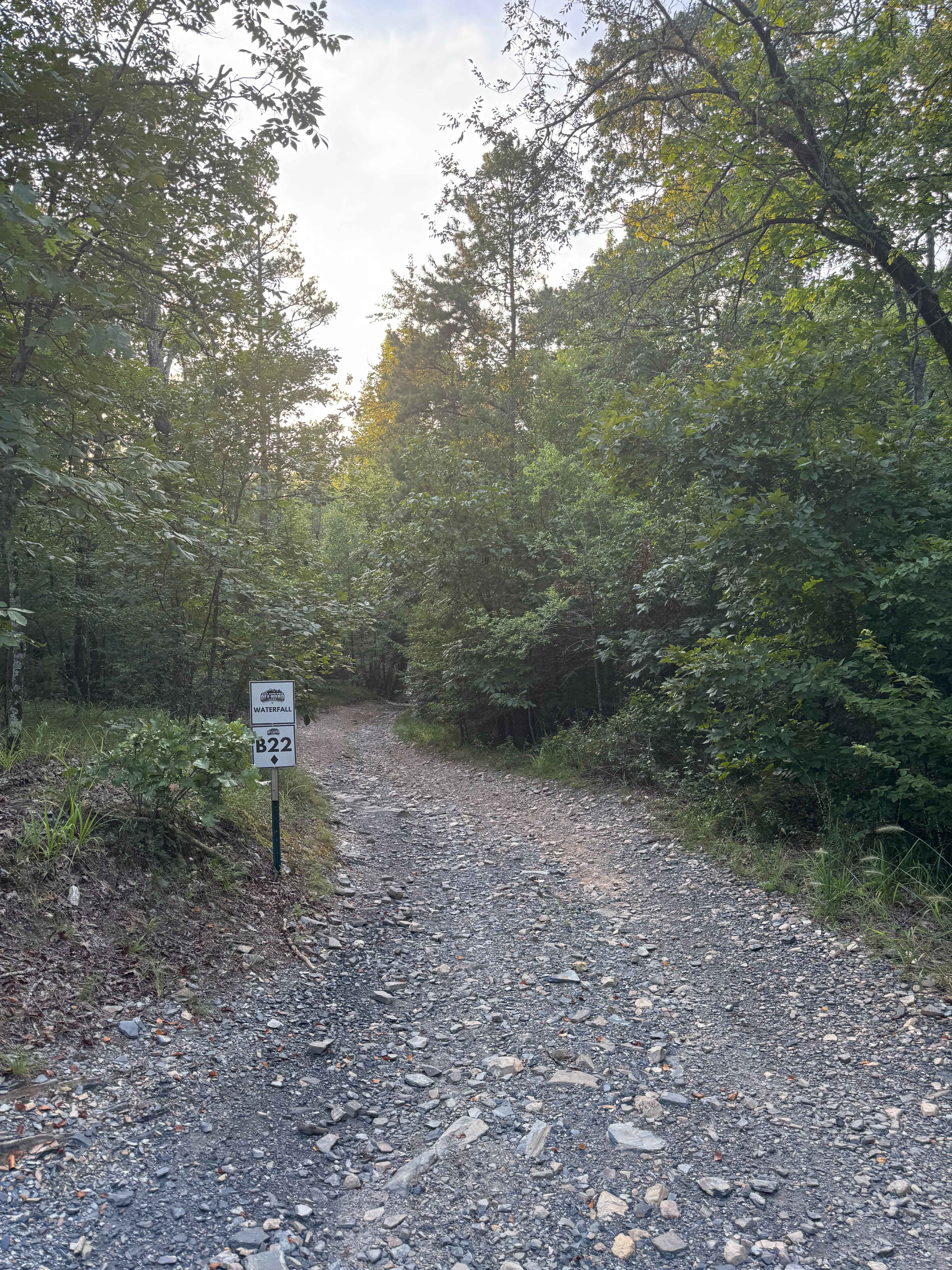
B22 Waterfall
The onX Offroad Difference
onX Offroad combines trail photos, descriptions, difficulty ratings, width restrictions, seasonality, and more in a user-friendly interface. Available on all devices, with offline access and full compatibility with CarPlay and Android Auto. Discover what you’re missing today!