Brock 27
Total Miles
1.7
Technical Rating
Best Time
Spring, Fall, Winter, Summer
Trail Type
Single Track
Accessible By
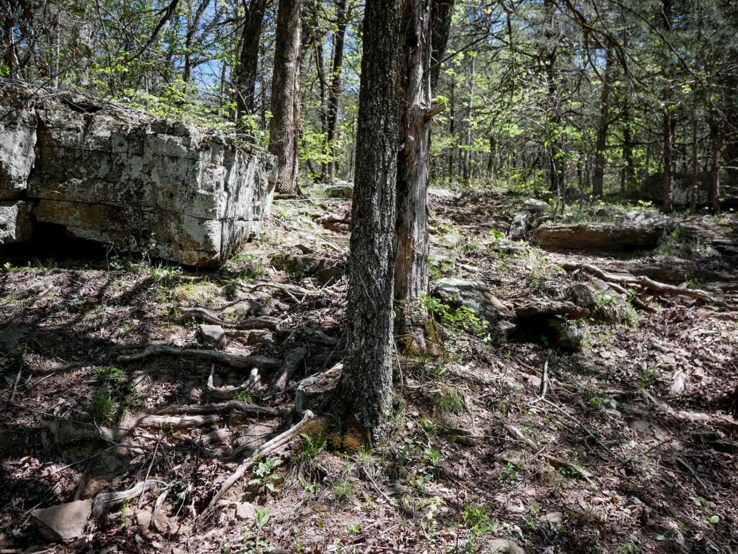
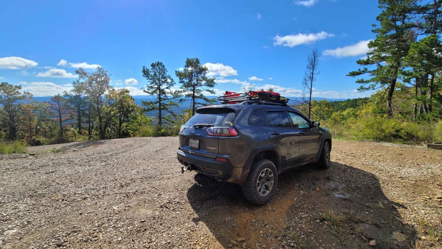
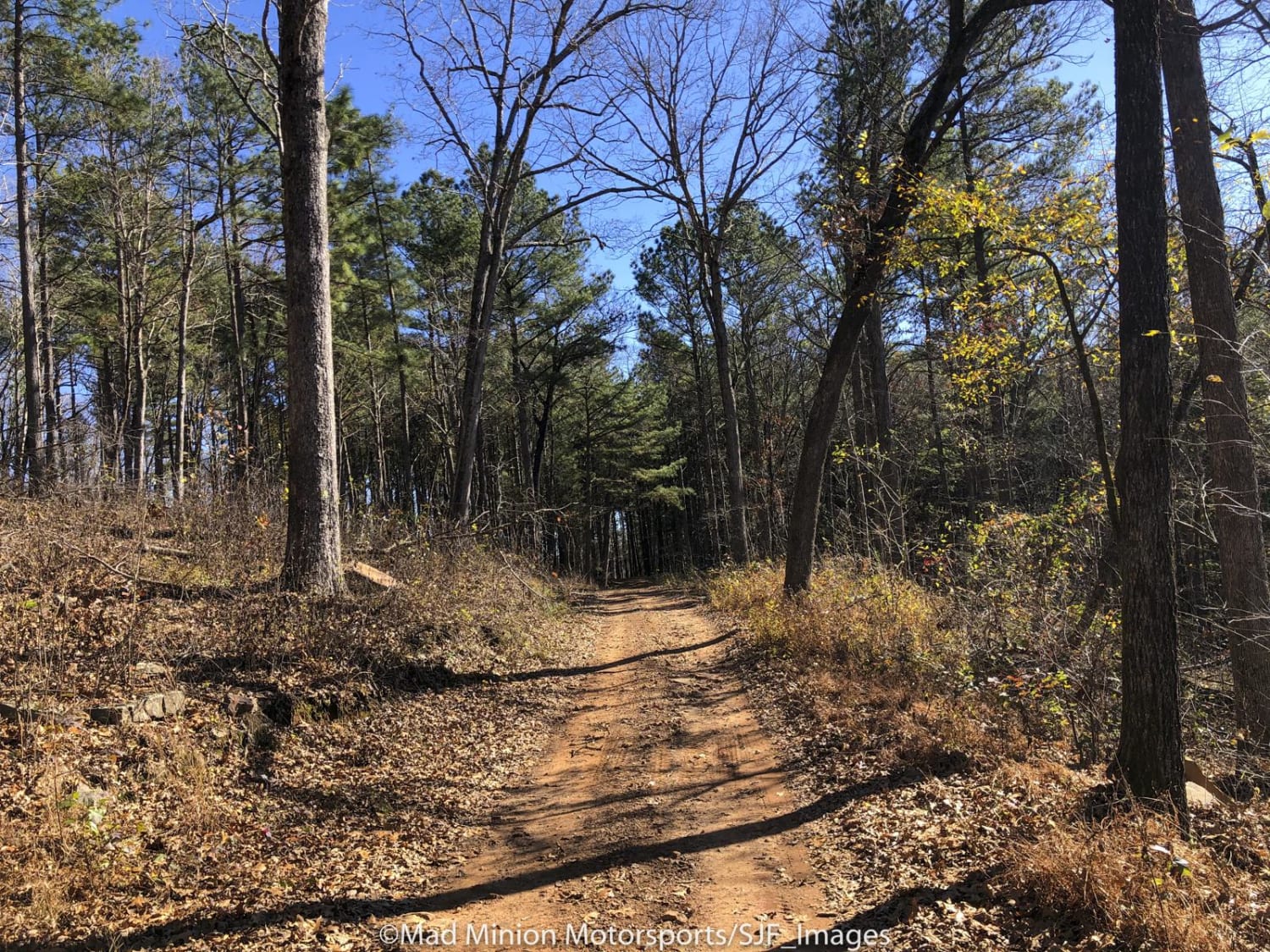
Trail Overview
This 1.7-mile singletrack is mostly a technical descent from north to south, and has fun features that will challenge the average rider. The east end starts descending down a steep grade with rock shelves, and trough-like erosion that demands careful line selection. The trail, marked with yellow diamonds on the trees, can be difficult to spot at times, especially in the early season due to overgrowth, fallen leaves, and trail-obscuring debris. Conditions can vary dramatically, especially after spring storms, when the trail may become more washed out and unpredictable. Use caution, as sometimes the leaves can hide the holes between the rocks. Riders will encounter numerous tight curves, scattered boulders, small downed logs, and stair-step rock features up to a foot tall. The surface gets rockier as it drops down to a creek with lots of big rocks in the crossing. This challenging trail rewards skilled riders with a rugged, scenic ride through tight forested terrain.
Photos of Brock 27

Difficulty
This is an intermediate difficulty due to challenging features throughout the route, including rock obstacles, deep troughs, rocky surfaces, and technical water crossings.
Status Reports
Brock 27 can be accessed by the following ride types:
- Dirt Bike
Brock 27 Map
Popular Trails

Poteau Mountain South
The Arkansas Overland Route - TrailHawk Loop - Section 15
Morgan Mountain Road
The onX Offroad Difference
onX Offroad combines trail photos, descriptions, difficulty ratings, width restrictions, seasonality, and more in a user-friendly interface. Available on all devices, with offline access and full compatibility with CarPlay and Android Auto. Discover what you’re missing today!