1105
Total Miles
9.8
Technical Rating
Best Time
Spring, Summer, Fall, Winter
Trail Type
Full-Width Road
Accessible By
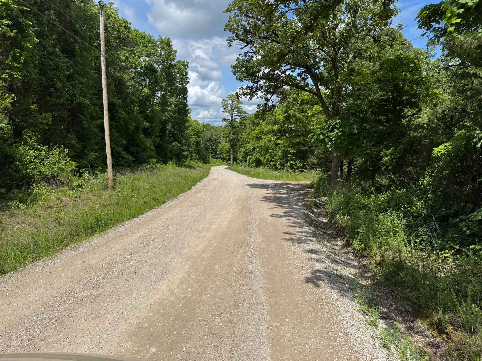
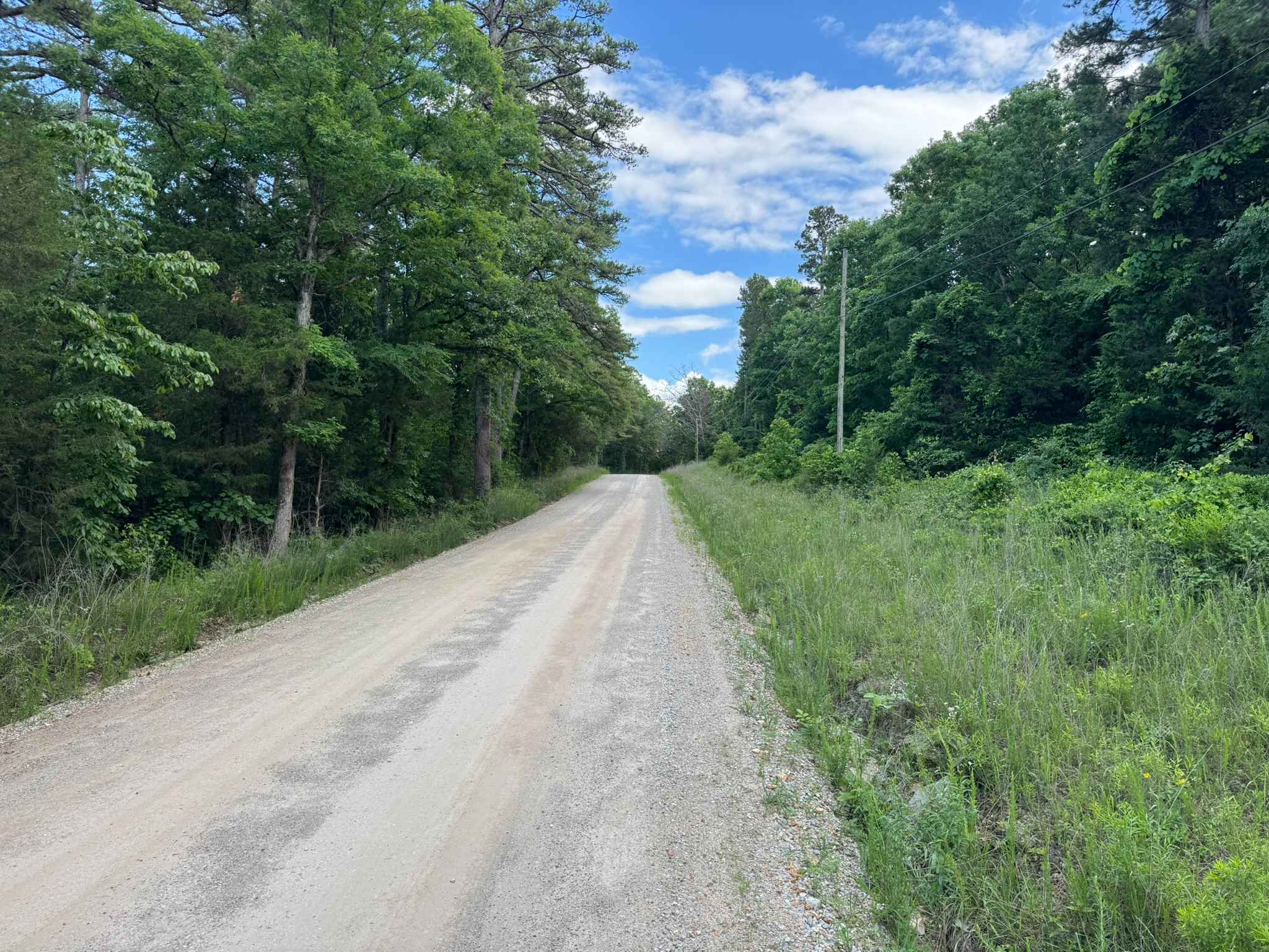
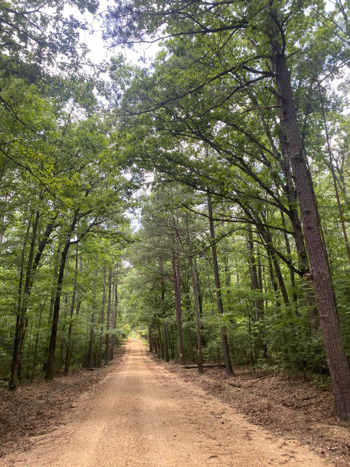
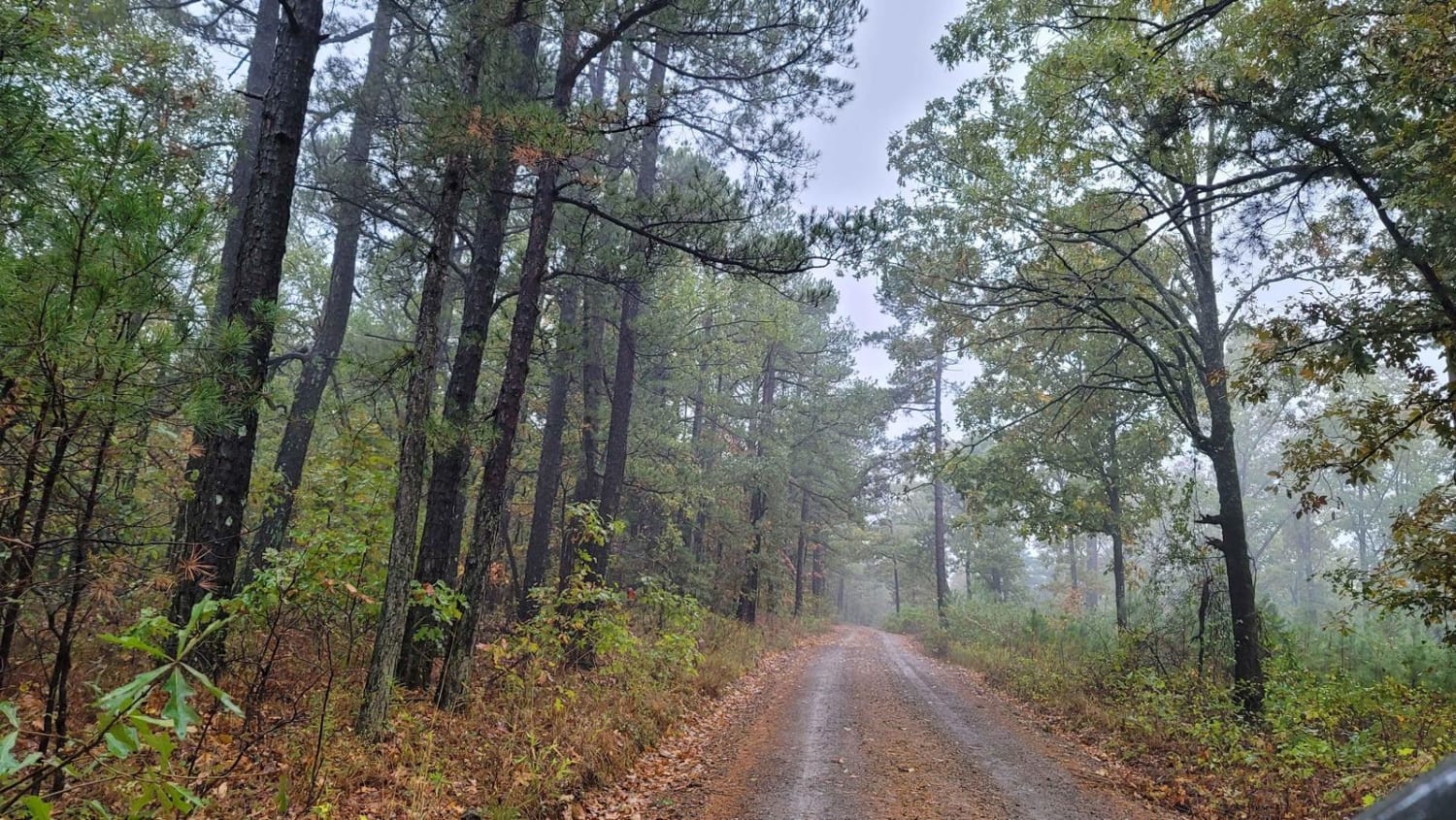
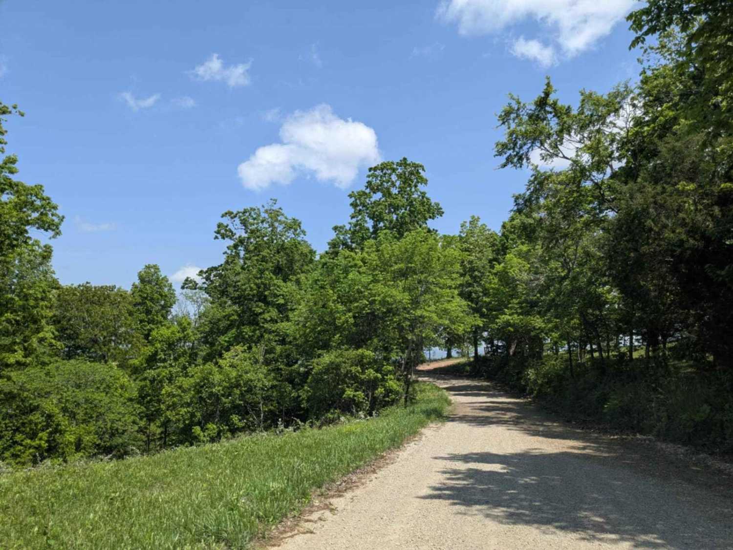
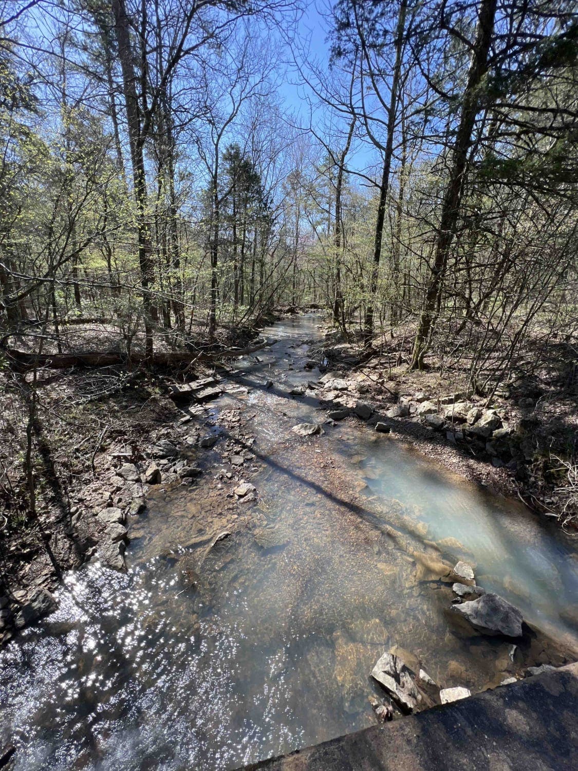
Trail Overview
This route is a very well-maintained gravel road that winds through the rolling countryside and dense woods of the Ozarks. The road surface is smooth and wide enough for two vehicles to pass comfortably in most areas, making for an easy and relaxing drive. Tall trees and thick green vegetation line much of the route, creating shaded stretches that contrast with open views of the surrounding hills and valleys. Along the drive, you will pass several homes and local ranches where cattle can often be seen grazing in open fields beside the road. One of the highlights of the route is the historic Bethel Springs Mennonite Church and school, located just off the roadway, adding a unique historical and cultural element to the scenic drive.
Photos of 1105
Difficulty
This route is primarily a smooth, well-maintained gravel road suitable for any vehicle. Drivers should still use caution around blind curves, loose gravel, and occasional local traffic near homes and ranches. Wet conditions could create minor slick spots, but overall this is a straightforward scenic drive ideal for beginners and family travel.
History
Bethel Springs Mennonite Church and school near Otipmis served as an important gathering place for the local rural community in the Ozarks. The surrounding region was heavily influenced by railroads like the St. Louis, Iron Mountain and Southern Railway, which later became part of the Missouri Pacific Railroad. These rail lines helped connect nearby farming, logging, and ranching communities across northern Arkansas to larger markets and cities, shaping transportation and settlement patterns throughout the area.
Status Reports
1105 can be accessed by the following ride types:
- High-Clearance 4x4
- SUV
1105 Map
Popular Trails
Walnut Grove
County Road 74
Cheyenne Road
The onX Offroad Difference
onX Offroad combines trail photos, descriptions, difficulty ratings, width restrictions, seasonality, and more in a user-friendly interface. Available on all devices, with offline access and full compatibility with CarPlay and Android Auto. Discover what you’re missing today!