Zsa1259
Total Miles
1.4
Technical Rating
Best Time
Spring, Summer, Fall, Winter
Trail Type
Full-Width Road
Accessible By
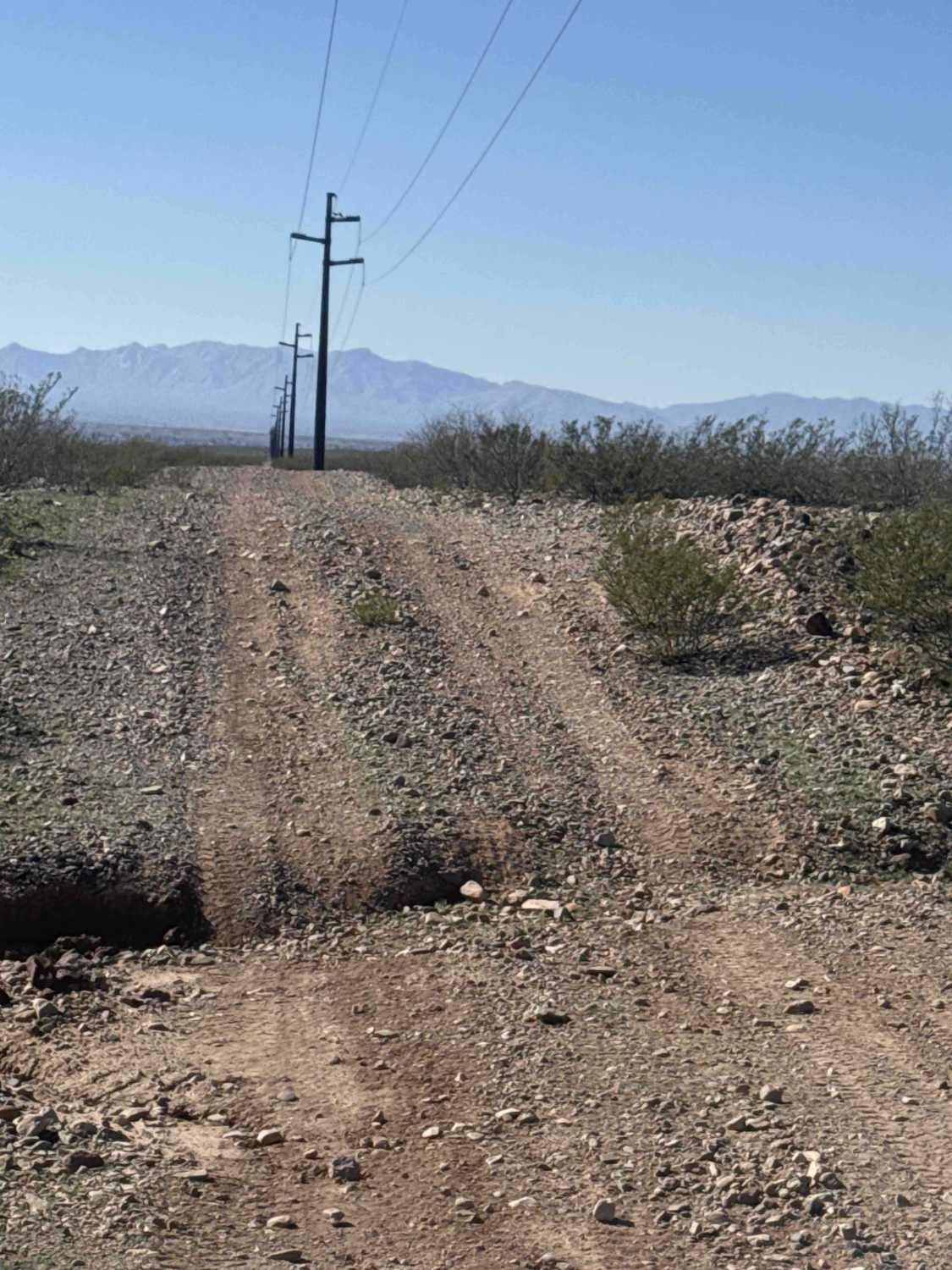
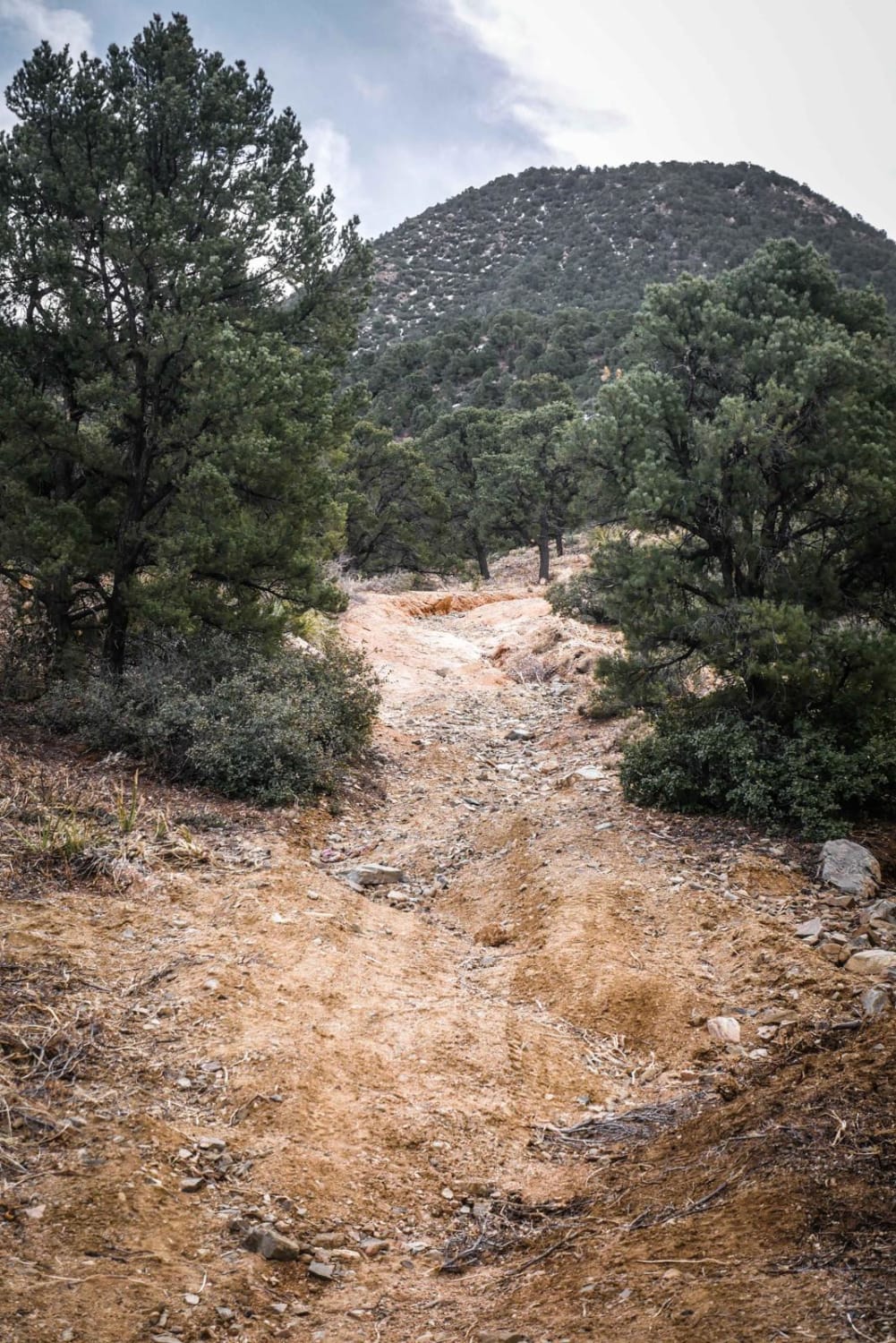
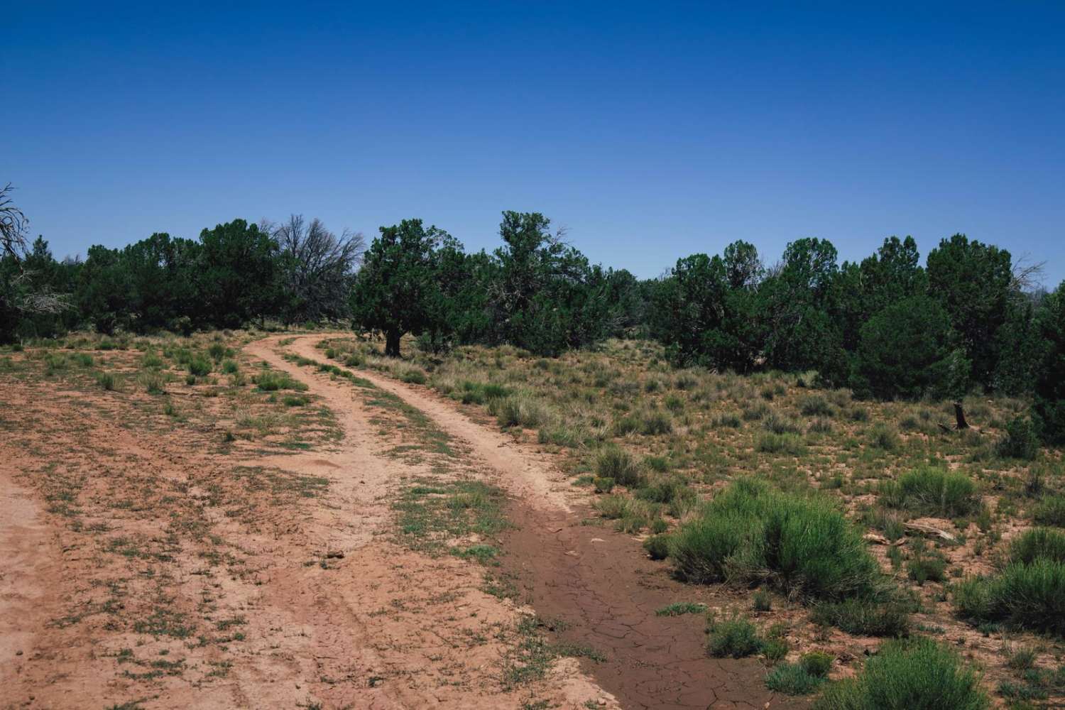
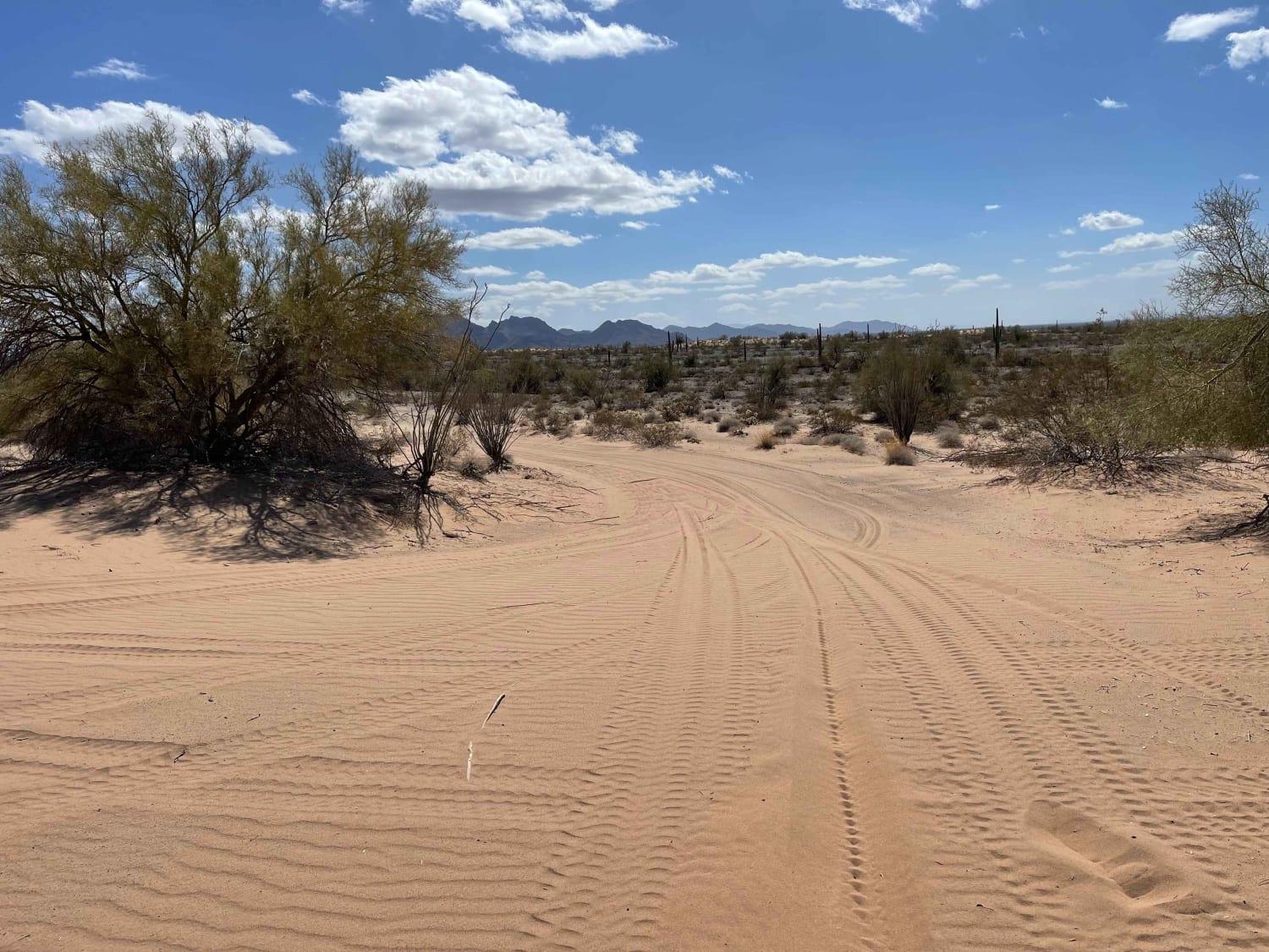
Trail Overview
Zsa1259 is a section of powerline road featuring a "rollercoaster" style route with lots of bumps and whoops--take it slow, as hitting the bottoms of the hills too fast can damage your vehicle. The trail offers scenic views of Mount Graham, Weber Peak, and the nearby mine. This short section connects to Zsa1258 and Sa1059, crossing a large wash that can be hazardous in bad weather. The trail includes deep ruts, a steep hill, and a sharp left turn--missing it could lead to a cliff, so navigate carefully. 2WD is possible, but high clearance is recommended for the ruts and a very narrow culvert near the end (hazard documented in photos). The trail eventually transitions into another route leading out to North Phelps Dodge Road, lined with desert creosote and desert grasses. Slow, careful driving is essential, especially over ruts, wash crossings, and technical turns.
Photos of Zsa1259

Difficulty
This trail is an easy gravel road with frequent whoops and some ruts. High-clearance two-wheel drive vehicles are sufficient.
Status Reports
Zsa1259 can be accessed by the following ride types:
- High-Clearance 4x4
- SUV
- SxS (60")
- ATV (50")
- Dirt Bike
Zsa1259 Map
Popular Trails
BLM Route 7125
Ploomosa Side Loop

Old Camp Wood Road
The onX Offroad Difference
onX Offroad combines trail photos, descriptions, difficulty ratings, width restrictions, seasonality, and more in a user-friendly interface. Available on all devices, with offline access and full compatibility with CarPlay and Android Auto. Discover what you’re missing today!